
Lecture·Archaeological Research Unit - University of Cyprus·2019
Sacred Landscapes of Cyprus (UnSaLa-CY) and Landscape Archaeology in the Xeros River Valley in Larnaca
Unlocking the Sacred Landscapes of Cyprus (UnSaLa-CY) and Landscape Archaeology in the Xeros River Valley in Larnaca
Chapters
About the lecture
Giorgos Papantoniou reads a paper co-authored with Athanasios K. Vionis on the UnSaLa-CY sacred landscapes project and its collaboration with the Settled and Sacred Landscapes of Cyprus (SeSaLaC) surface survey. Coordinated by Vionis, Doria Nicolaou, and Papantoniou through the University of Cyprus, the intensive survey covers 2,500 hectares in the Xeros River Valley around Kofinou and Alaminos, 20 kilometres southwest of Larnaca.
Following a Late Neolithic site on a hill northeast of Kofinou, the team relocated the Middle Chalcolithic settlement at Alaminos-Zorzakis, first investigated by Porphyrios Dikaios in 1936, and recorded a Chalcolithic round house floor with a hearth, pottery, and stone tools exposed during modern construction. At Alaminos-Kambos, southeast of the medieval tower, surface material spreads across up to 70 hectares from the Early Bronze Age into the Middle Bronze Age, with Red Polished ware, millstones, grinding tools, and looted hillside tombs. Unlike Jennifer Webb and David Frankel's model linking southern settlements to copper ore, the survey found no Bronze Age copper processing at Alaminos, noting that richer mines lie north of the Troodos at Mathiatis and interpreting the settlement as a coastal trade waypoint.
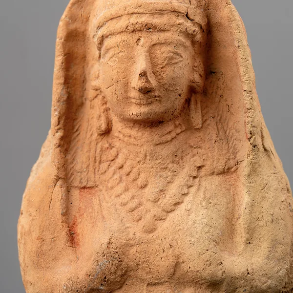
Material from the Late Bronze Age and Cypro-Geometric period is scarce in the valley, which Papantoniou contrasts with nucleated urban centres such as Kalavasos-Ayios Dhimitrios and Maroni-Vournes to the west. In the Cypro-Archaic and Cypro-Classical periods, the valley formed a frontier zone between the polities of Amathus, Idalion, and Kition, with a ten-hectare centre and twelve looted tombs at Kofinou-Panagia. Macroscopic study by Anna Georgiadou and pXRF chemical analysis by Andreas Charalambous show that 95 per cent of the Iron Age surface pottery matches the fabrics, regional style, and clay sources of Amathus, supporting Antoine Hermary's view that Amathusian territory extended past the Pentaskhinos River toward Stavrovouni, against David Rupp's Thiessen polygons. Despite surveying the surrounding hills, the team found no definite Iron Age frontier sanctuary in the valley, recording only a few terracotta figurines and a sixth- or fifth-century BC limestone statuette.
After lower material density in the Hellenistic and early Roman periods, Late Antiquity accounts for the largest share of dated pottery. Around the sixth- or seventh-century AD three-aisled basilica at Kofinou-Panagia, excavated by Eleni Procopiou beneath the eleventh-century church, a thirteen-hectare settlement of roughly 250 families functioned as an agro-town, accompanied by a Late Antique pottery kiln workshop two kilometres northeast along the river producing tiles, water pipes, pithoi, and domestic vessels.
From our collection
Pieces in the Drakopoulos collection of the kinds and periods this talk covers: Red Polished ware.
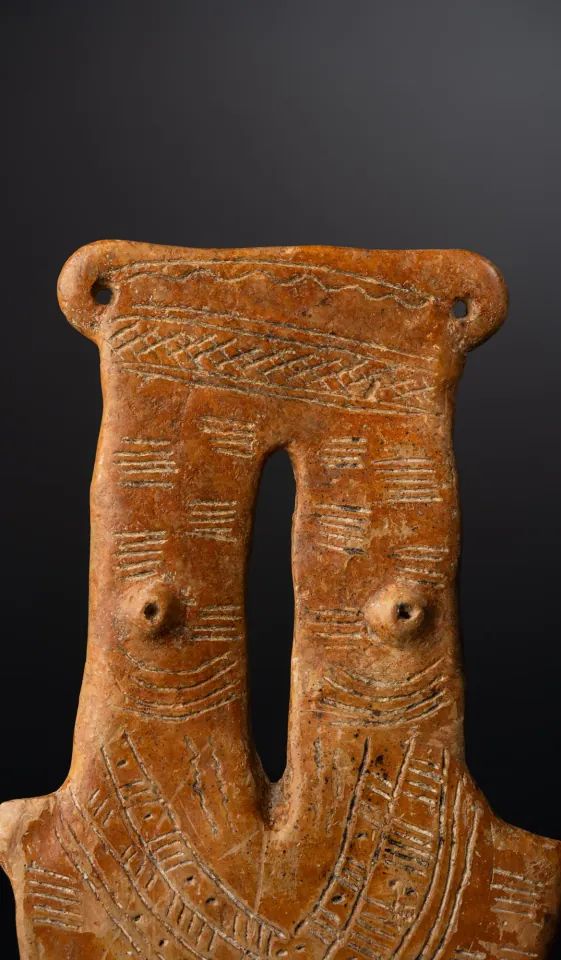
Red Polished Two-Necked Plank Figure
Red Polished ware
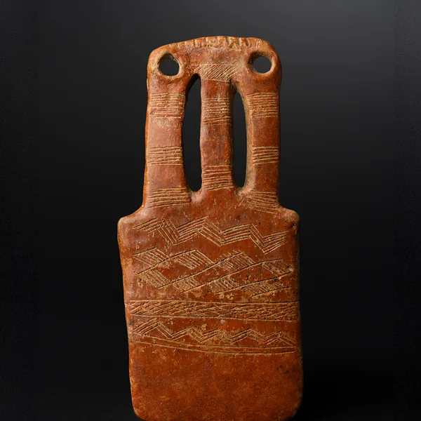
Red Polished Three-Necked Plank Figure
Red Polished ware
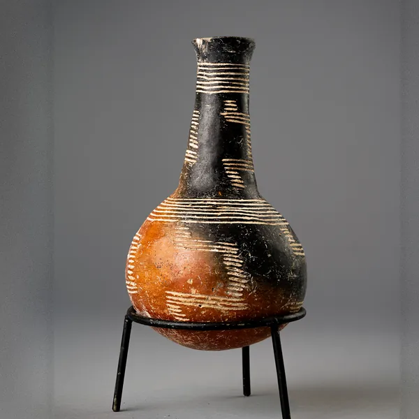
Red Polished Black-Topped Bottle with Stepped Incised Bands
Red Polished ware
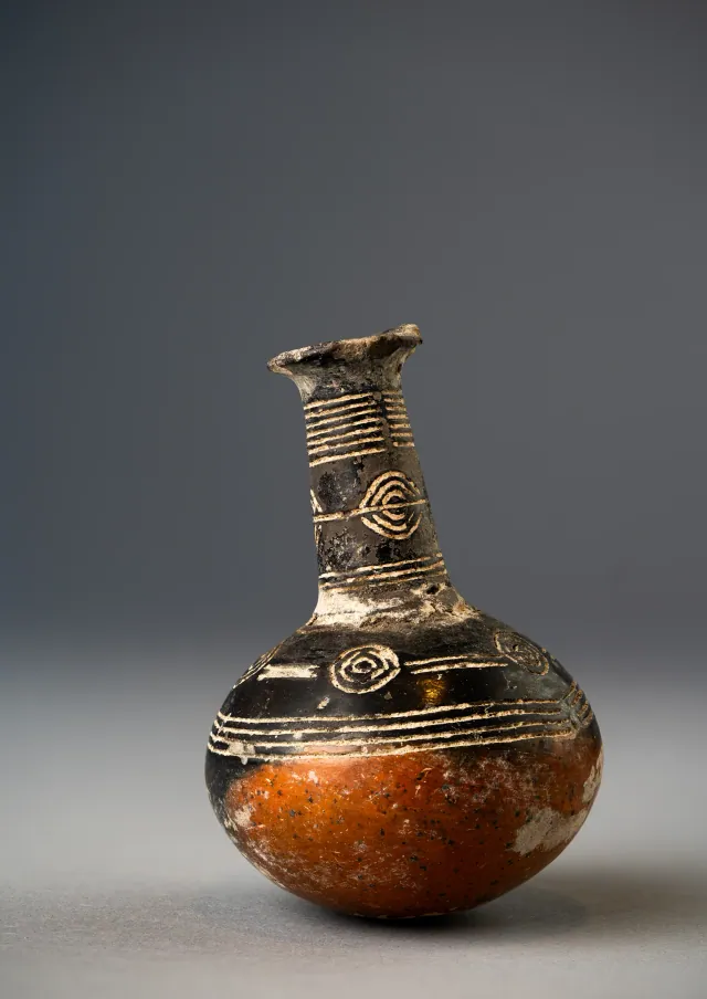
Red Polished Black-Topped Bottle with Incised Concentric Circles
Red Polished ware
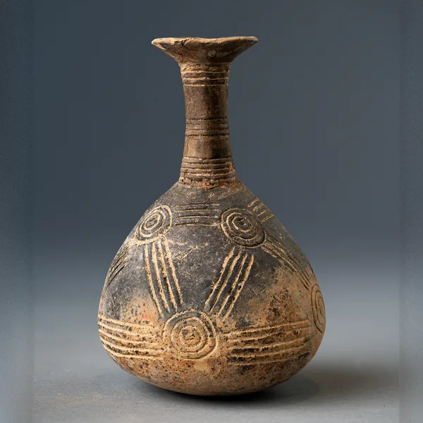
Red Polished Bottle with Linked Concentric Circles
Red Polished ware
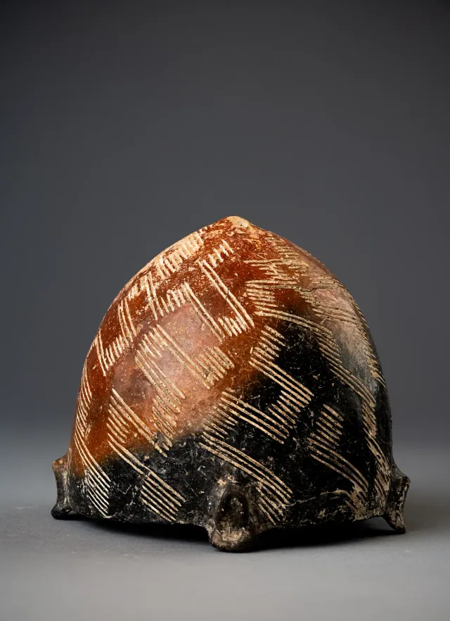
Black-topped Red Polished Tulip Bowl with Incised Hatched Lattice
Red Polished ware
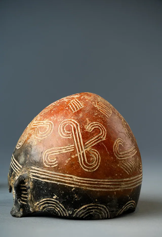
Black-topped Red Polished Tulip Bowl with Incised Spiral-armed Cross, Circles and Arcades
Red Polished ware
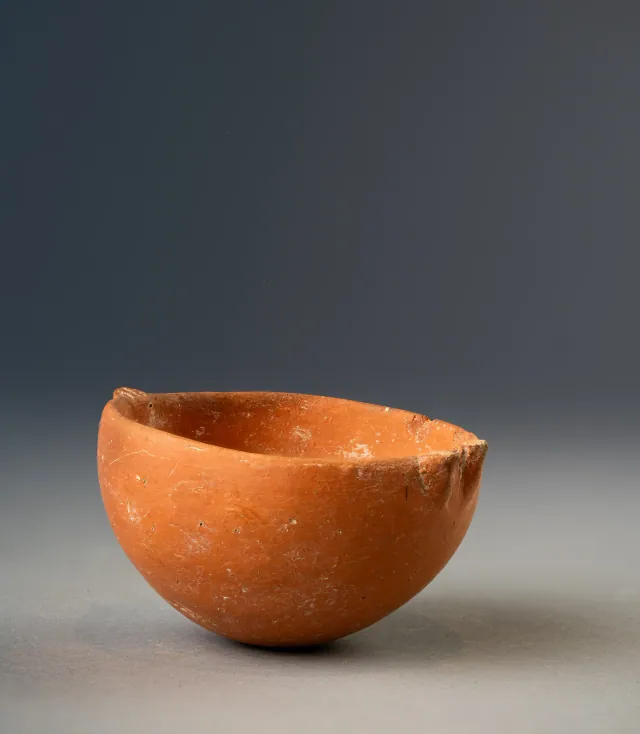
Red Polished Hemispherical Bowl with Two Rim Lugs
Red Polished ware
Found at the places discussed
Objects in our catalogue, in museum collections, recorded as found at these sites.

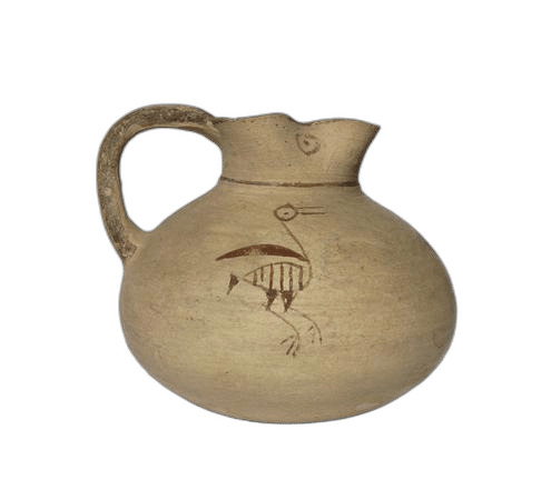

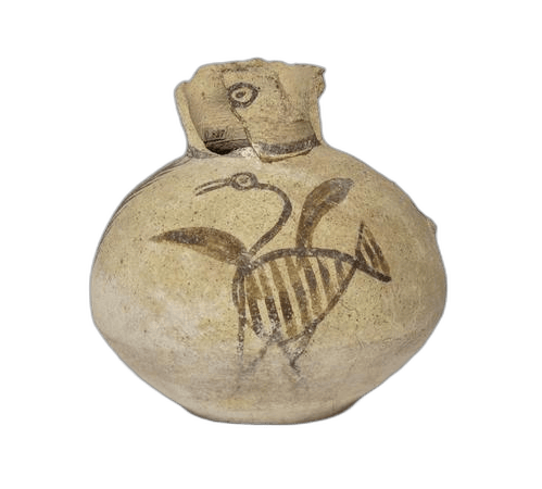
Background
Where to read more on this site before or after watching.
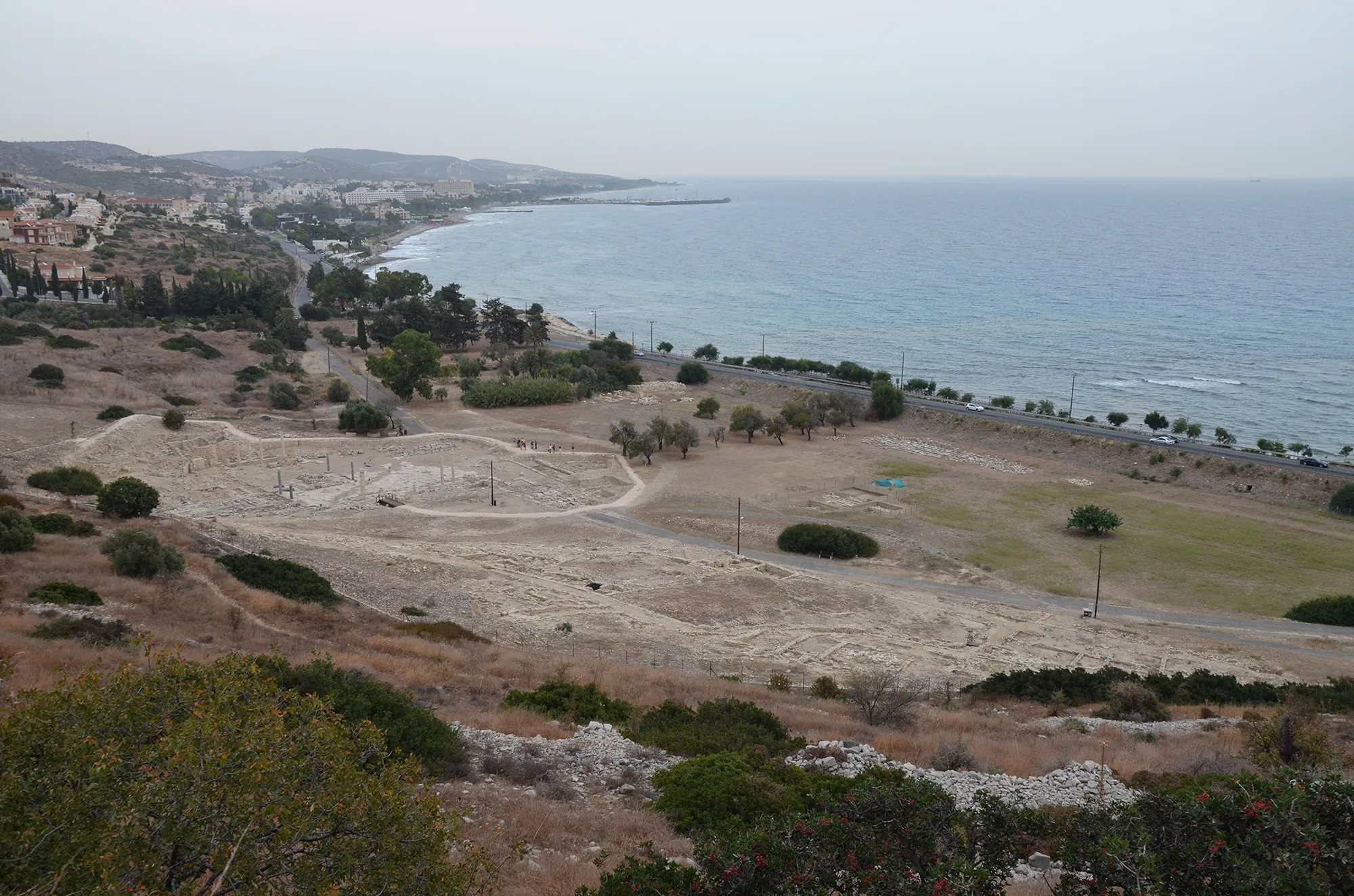
The site
Amathus
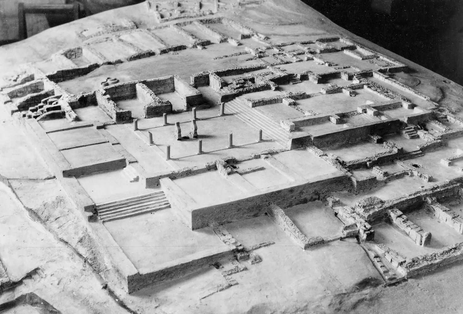
Amathus was the capital of one of the Iron Age kingdoms of Cyprus, on a coastal hill about 10 km east of Limassol. It was founded on an empty site in the 11th century BC and lived in until the end of the 7th century AD. Its acropolis carried a sanctuary of Aphrodite and the kings' palace; its people kept the island's old non-Greek language, Eteocypriot, at least until the time of Alexander.
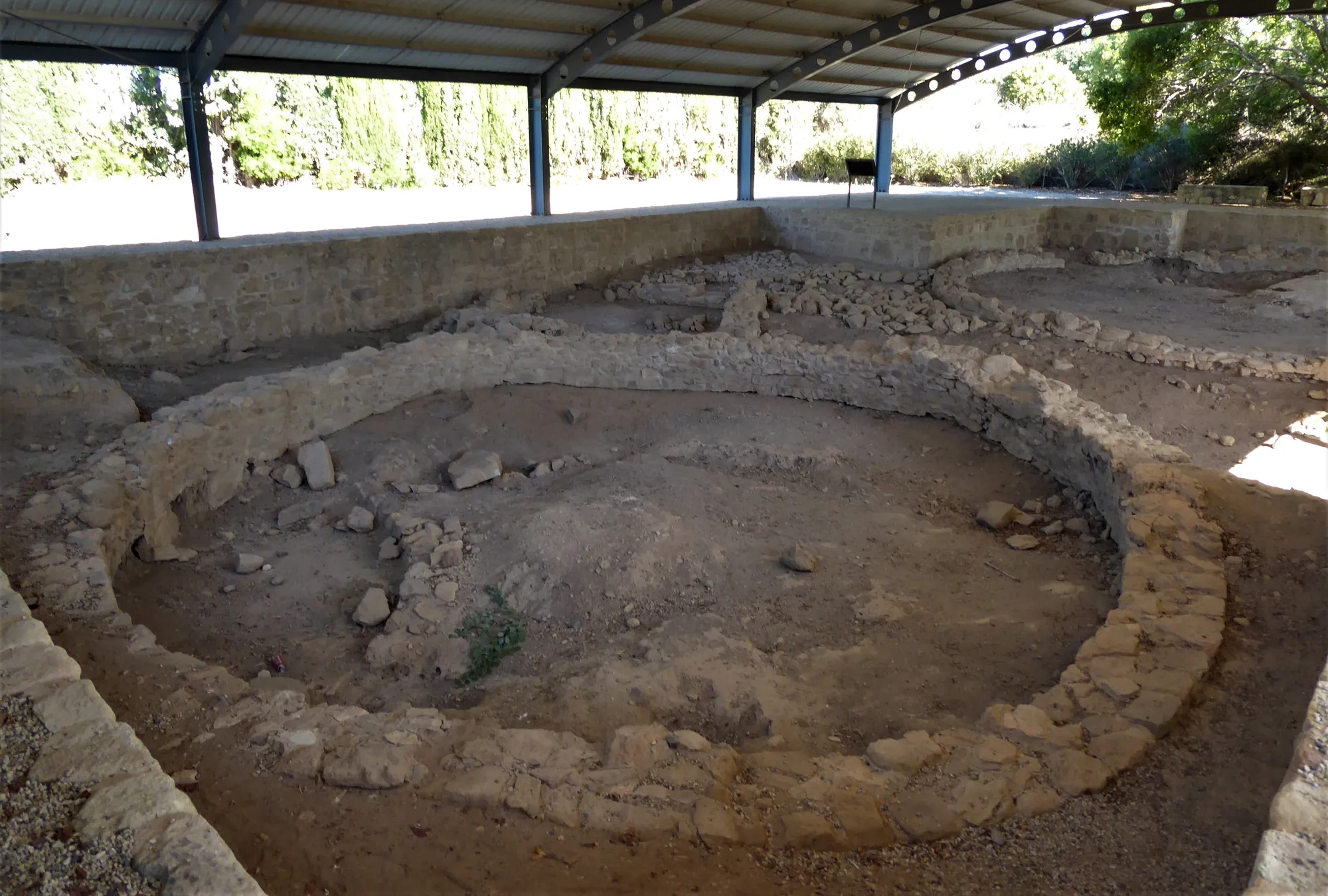
In the compendium
Chalcolithic Round Houses
The free-standing circular house of Chalcolithic Cyprus, from timber post rings to stone-footed great houses, and the Kissonerga building model.
In the compendium
Iron Age Cities and Palaces
The capitals of the Iron Age kingdoms of Cyprus, their palaces at Vouni, Amathus, Idalion and Palaepaphos, their houses, and the volute and Hathor capitals of the period.
In the compendium
Iron Age Sanctuaries
The Cypriot Iron Age sanctuary was a walled open-air court with an altar, sacred trees and small roofed rooms; Greek-style temples arrived only under Rome.
Map of Cyprus
Places discussed in the talk
- Has a page on this site
- Other places
- Ground above 200, 500, 1,000 m