
Lecture·Archaeological Research Unit - University of Cyprus·2021
Archaeogeophysical Surveys: A Review from Cyprus
Marc-Antoine Vella
Chapters
About the lecture
Marc-Antoine Vella, a postdoctoral fellow in the Sylvia Ioannou Foundation Chair for Digital Humanities at the University of Cyprus, reviews the application of geophysical prospection and geomorphological studies to Cypriot archaeology. After outlining the principles of electrical resistivity, electromagnetic induction, magnetometry and ground-penetrating radar (GPR), he traces their use on the island from the first campaign in 1958 to recent multi-method surveys.
The talk examines several case studies in chronological and methodological order. The earliest geophysical work in Cyprus was a magnetic survey at the Late Bronze Age city of Enkomi in September 1958, which detected cisterns, hearths and the linear anomalies of the street grid. Subsequent early surveys used electrical resistivity at Amathus to identify terraces on the acropolis and the limits of the lower town, and at the Neolithic settlement of Khirokitia, where semicircular high-resistivity anomalies complemented excavated roundhouses.
Vella contrasts these early explorations with higher-resolution recent work. At Hala Sultan Tekke (Dromolaxia-Vyzakia), prospection begun in the 1970s and expanded between 2010 and 2018 with GPR and magnetometry mapped rectangular building compounds, a kiln and a large prehistoric cemetery. At Kofinou, a 2020 magnetic and GPR survey traced structures around a Byzantine church, while at Nea Paphos GPR was used at the Tombs of the Kings both to locate buried structures and to detect cracks and metal reinforcement bars from earlier restorations, alongside magnetic surveys in the Agora and underwater electrical resistivity tomography in the Hellenistic and Roman harbour.
Assessing the discipline across the island, Vella groups Cypriot surveys into four aims: mapping urban or village layout, studying the use of interior and exterior space (tested at sites such as Kalavasos-Ayios Dhimitrios and Athienou-Malloura), determining sediment depth and geomorphology (as at Pyla-Kokkinokremos and Kition), and conservation. He discusses local obstacles: shallow, dry soils, limestone and marl formations that mimic architectural contrasts, modern agricultural noise, and widespread copper slag from the Troodos mountains that interferes with magnetometry. He also notes that published reports often omit quantitative signal scales and exact coordinates, partly to deter looting, and argues for standardized guidelines and combined multi-method surveys.
The final part of the lecture introduces a review of Cypriot climate and landscape studies based on alluvial and coastal sediment cores. Vella summarizes results from the Larnaca Salt Lake and Hala Sultan Tekke, where siltation closed the Bronze Age anchorage in the early 12th century BC, the evolution of the classical military port at Kition within a lagoon, and Holocene incision and medieval alluviation in the Yialias valley.
From our collection
Pieces in the Drakopoulos collection of the kinds and periods this talk covers: Neolithic, Cypro-Archaic, Hellenistic.
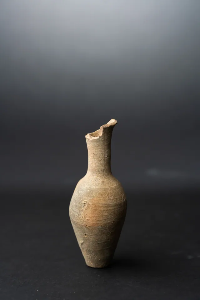
Fusiform Unguentarium
Hellenistic
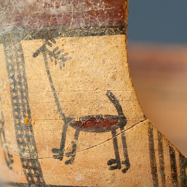
Bichrome Skyphos with Stags in Metopes
Cypro-Archaic
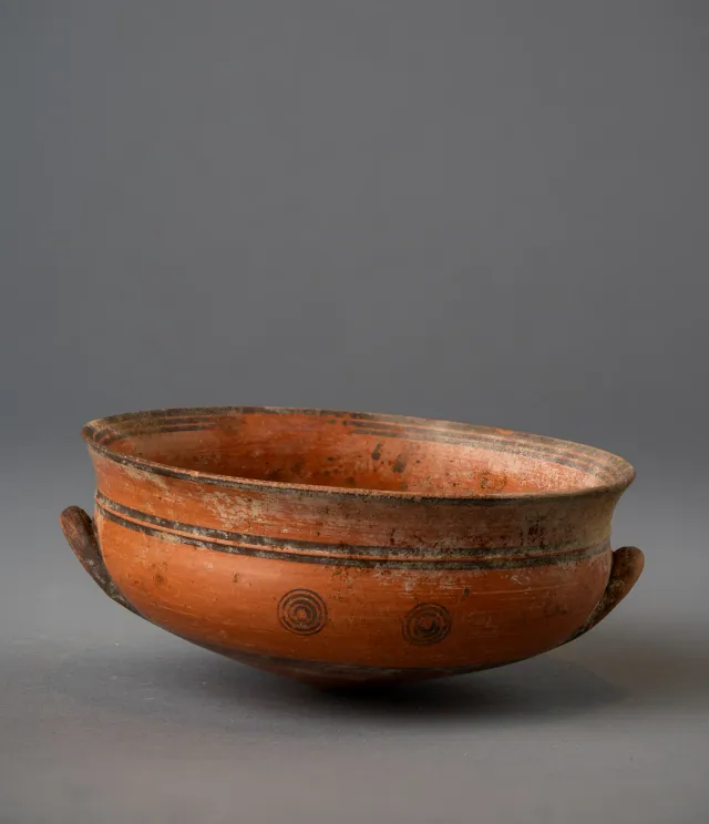
Black-on-Red Two-Handled Bowl with Raised Flaring Rim
Cypro-Archaic
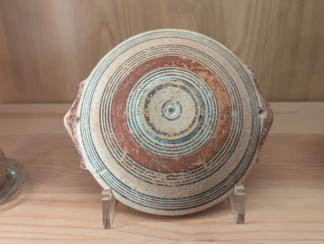
Bichrome IV Bowl with Red-Painted Pierced Lug Handles
Cypro-Archaic
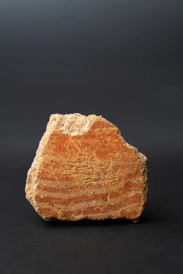
Combed Ware Bowl Fragment with Parallel Bands
Neolithic
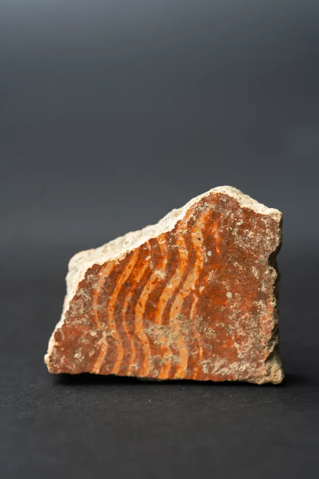
Combed Ware Bowl Fragment with Multiple Wavy Bands
Neolithic
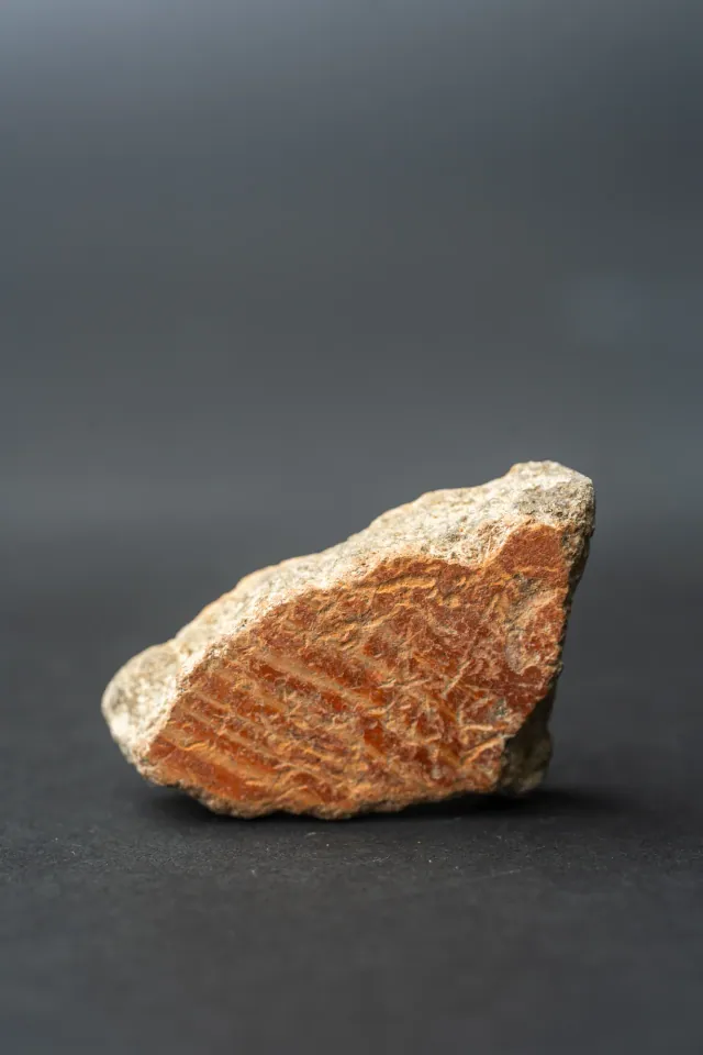
Combed Ware Bowl Fragment with Oblique Bands
Neolithic
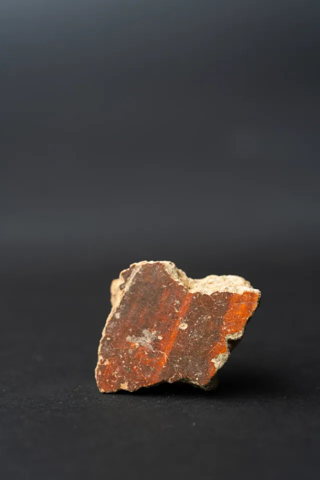
Red Lustrous Ware Body Sherd with Fire-Mottled Slip
Neolithic
Found at the places discussed
Objects in our catalogue, in museum collections, recorded as found at these sites.


Background
Where to read more on this site before or after watching.
The site
Enkomi
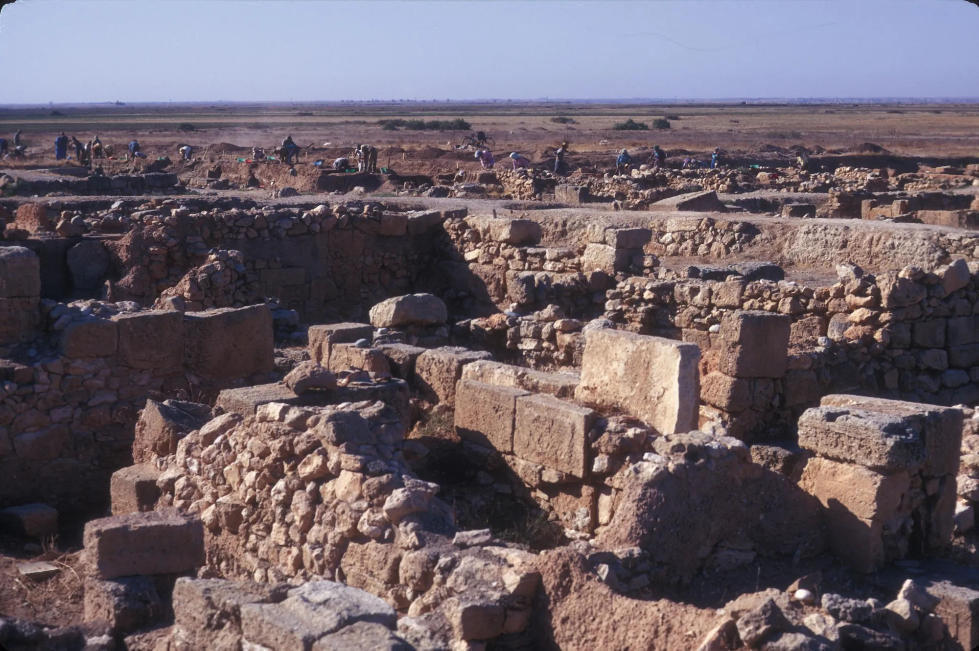
Enkomi is a walled Late Bronze Age town near the mouth of the Pedieos river on the bay of Famagusta, lived in from about 1650 BC until it was gradually abandoned for nearby Salamis. It was a port for Cypriot copper, and its excavations produced metal workshops, sanctuaries with bronze cult statues, rich tombs and the largest group of Cypro-Minoan inscriptions on the island.
In the compendium
Neolithic Round Houses
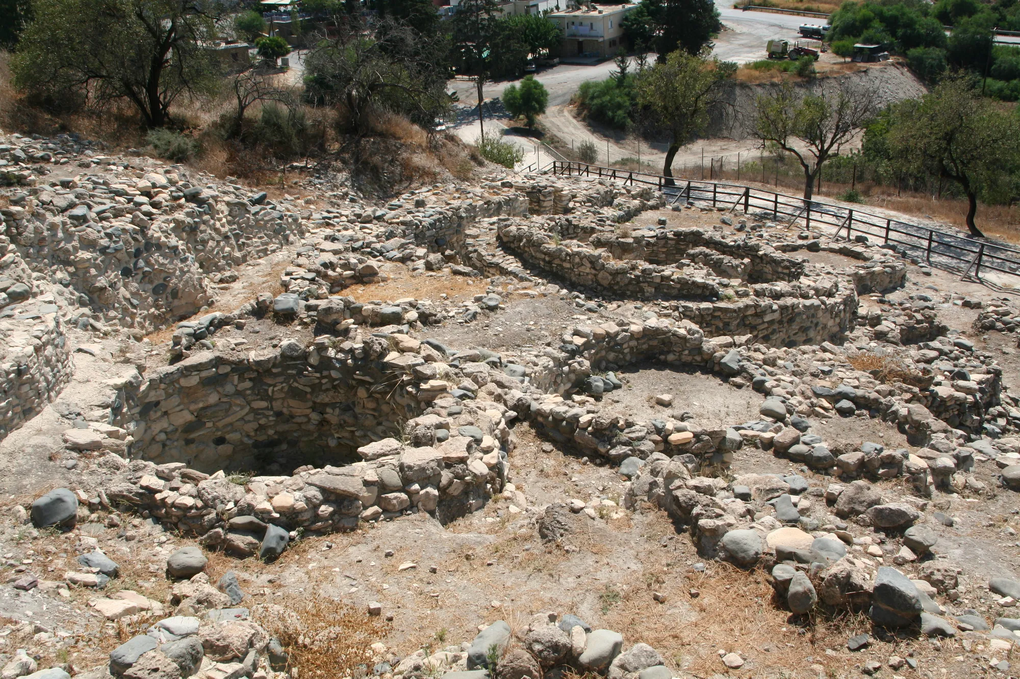
The circular buildings of Cyprus's first farming villages, from Klimonas and Tenta to Khirokitia, and the rounded houses of the Ceramic Neolithic.
In the compendium
Late Bronze Age Towns and Buildings
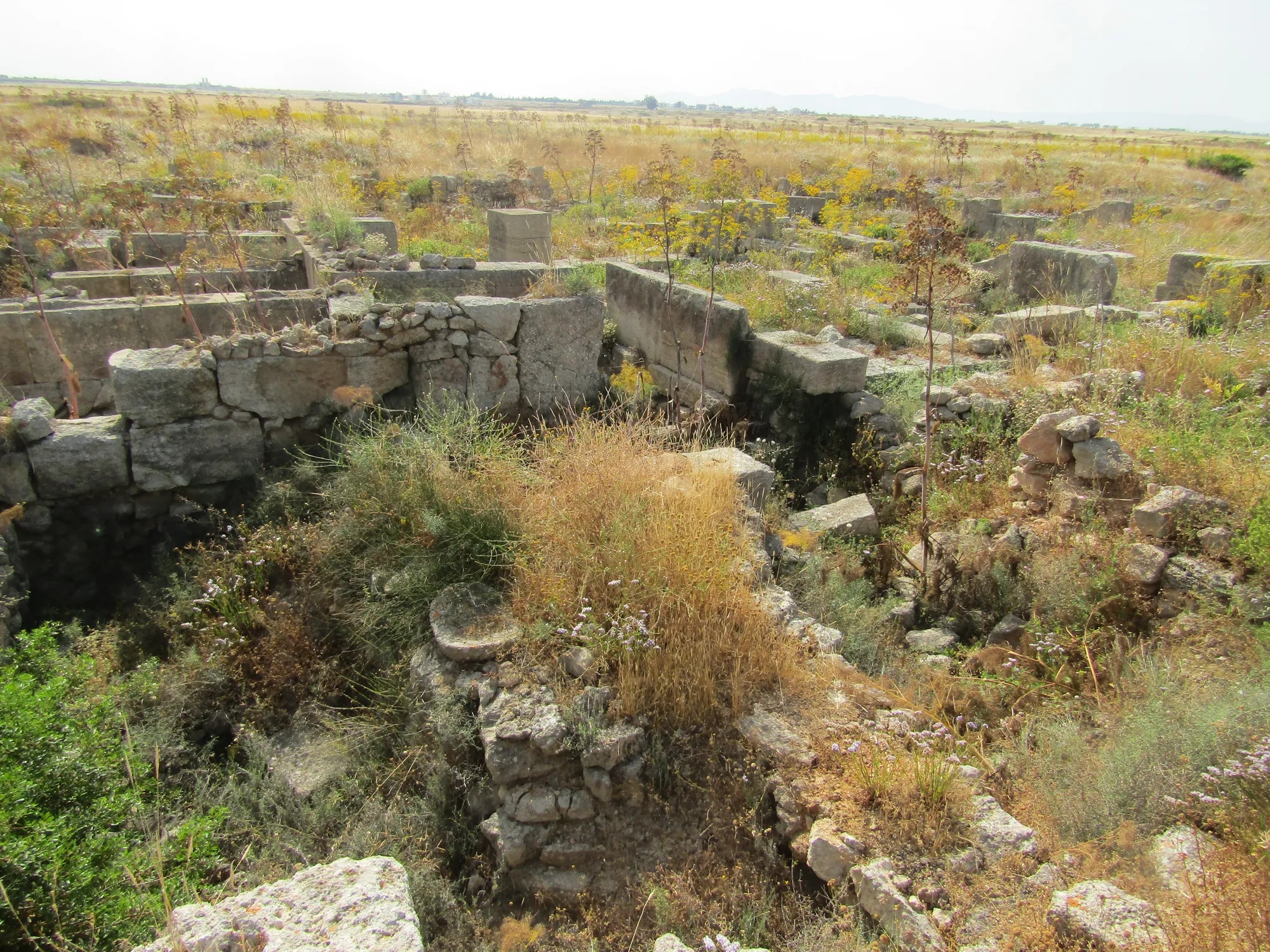
How Late Bronze Age Cyprus built its first towns: street grids, large ashlar buildings with storage halls, courtyard houses, and the short-lived settlements of the twelfth century.
In the compendium
Royal and Built Tombs
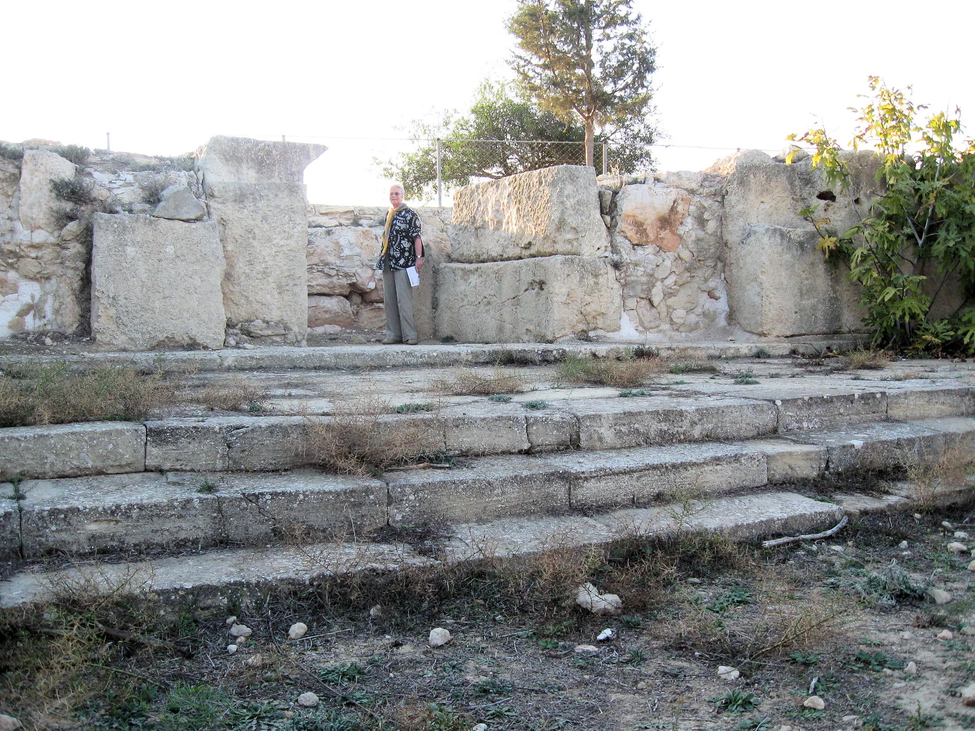
Tombs built of cut stone in Cyprus, from the ashlar tombs under Late Bronze Age houses at Enkomi to the royal tombs of Salamis and Tamassos and the rock-cut courts of Nea Paphos.
Map of Cyprus
Places discussed in the talk
- Has a page on this site
- Other places
- Ground above 200, 500, 1,000 m
Places
- 1Enkomi
- 2Amathus
- 3Khirokitia
- 4Hala Sultan Tekke
- 5Kofinou (approx.)
- 6Nea Paphos
- 7Kalavasos-Ayios Dhimitrios
- 8Athienou-Malloura
- 9Pyla-Kokkinokremos
- 10Kition