
Lecture·CAARI Cyprus·2025
La Longue Durée: The View from Idalion
Chapters
About the lecture
Pamela Gaber, Professor Emerita at Lycoming College, reflects on fifty-three years of fieldwork at Idalion and the four-millennium history of the settlement and its region. Introduced by CAARI director Lindy Crewe, Gaber follows three lines of inquiry prompted by finds from the site: the early onset of urbanism in the Cypriot interior, Near Eastern origins of goddess iconography, and the long continuity of cult and industry from the Bronze Age into the Roman era.
Addressing the debate on when urbanism began on Cyprus, Gaber points to 18th-century BCE Mari texts recording Cypriot bronze and to Jennifer Webb's work on Early and Middle Bronze Age copper-working settlements. She traces an inland line of sites along the igneous-sedimentary interface, including Alambra Mouttes, Ayios Sozomenos, and Politiko Troullia, arguing that copper metallurgy began around 2200 BCE and supplied coastal ports such as Kalopsidha, Enkomi, and Hala Sultan Tekke. As Ayios Sozomenos grew in the Late Bronze Age, industrial work such as the West Acropolis pithos factory excavated by Maria Hadjicosti and Giorgos Georgiou shifted to Idalion in the 13th century BCE.
Gaber next reviews the uninterrupted stratigraphy across Idalion: the 12th-century BCE founding levels of the Adonis Temenos on the East Acropolis, the 9th-century stronghold excavated by the Swedish Cyprus Expedition, 8th- and 7th-century monumental architecture beneath the 500 BCE fortification walls dug with Lawrence Stager, and a deep sounding in the Lower City North industrial area where floors and stone courses accumulated from c. 1300 to the 1st century BCE around settling basins and loom weights.
A limestone plaque with a Cypriot Syllabary inscription from the Lower City leads into a study of so-called Hathor and Proto-Aeolic capitals. Gaber argues that their volutes and curls derive from fourth-millennium Mesopotamian gatepost sheaves of Inanna rather than Egyptian Hathor imagery, surviving in their original form only in Israel and Cyprus where aniconic queens of heaven were worshipped.
Finally, she examines the City Sanctuary in the Lower City South. Beneath a pisé floor dated by 5th-century BCE Attic pottery to Kition's conquest around 450 BCE, thick ash yielded holm oak charcoal identified at the Weizmann Institute, indicating three wooden cult poles (xoana). She shows how the site's long-standing northwest-southeast building alignment shifted in the Roman period to meet a new Roman road, while cult features including open lamps, syllabic inscriptions, water installations, an ancestor circle, and offering benches persisted.
From our collection
Pieces in the Drakopoulos collection of the kinds and periods this talk covers: Cypro-Geometric, Cypro-Archaic, Hellenistic.
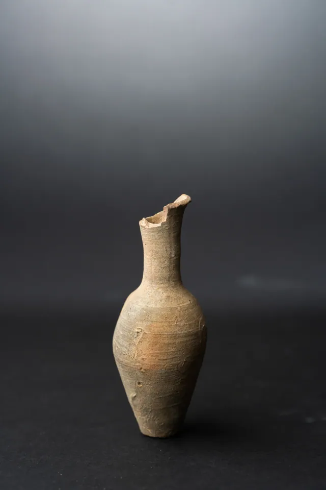
Fusiform Unguentarium
Hellenistic
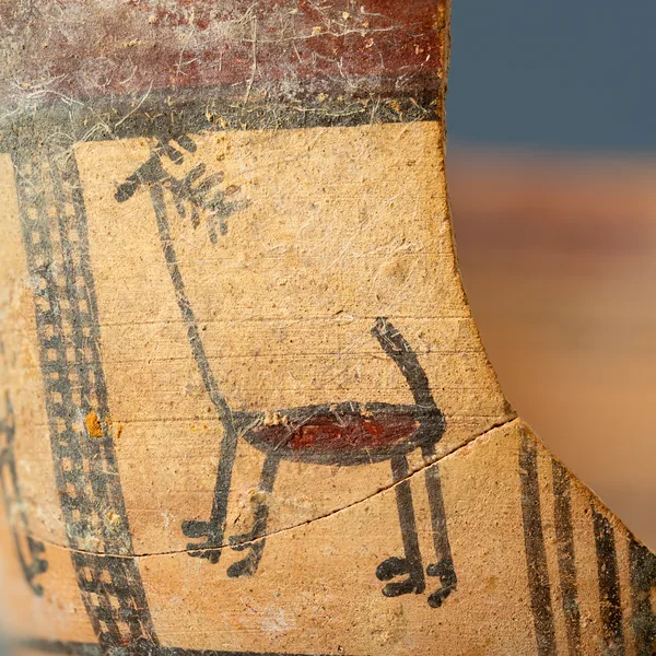
Bichrome Skyphos with Stags in Metopes
Cypro-Archaic
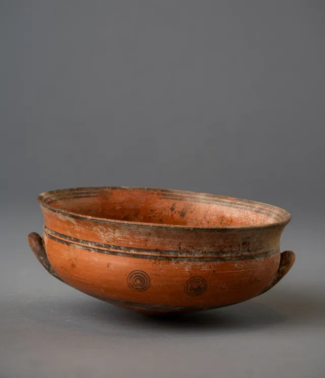
Black-on-Red Two-Handled Bowl with Raised Flaring Rim
Cypro-Archaic
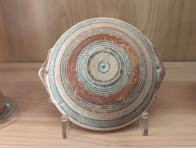
Bichrome IV Bowl with Red-Painted Pierced Lug Handles
Cypro-Archaic
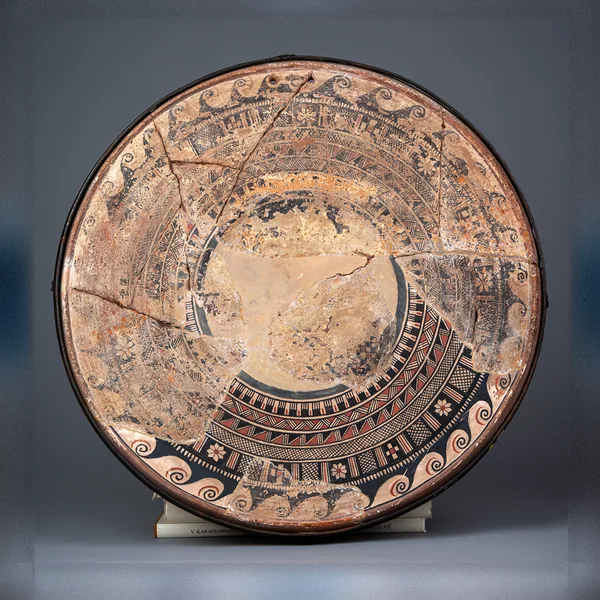
Large Bichrome Plate from Salamis with a Wave Band and Rosette Metopes
Cypro-Archaic
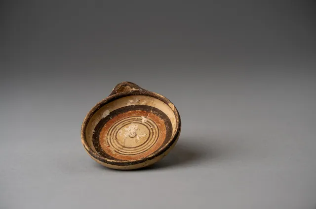
Miniature Bichrome Plate with Concentric Circles
Cypro-Archaic
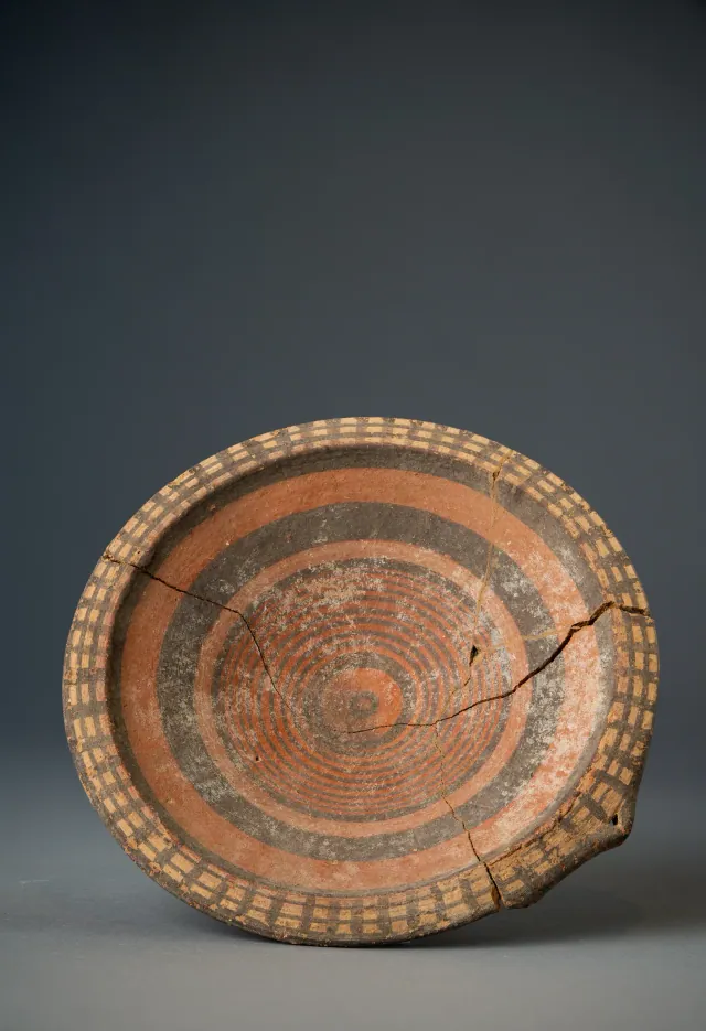
Black-on-Red Plate with Barred Rim and Concentric Circles
Cypro-Archaic
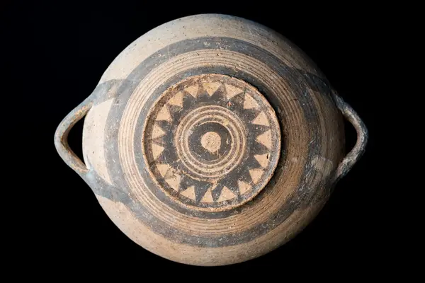
White Painted Plate with a Sawtooth Star on the Underside
Cypro-Geometric
Found at the places discussed
Objects in our catalogue, in museum collections, recorded as found at these sites.



Background
Where to read more on this site before or after watching.
The site
Idalion
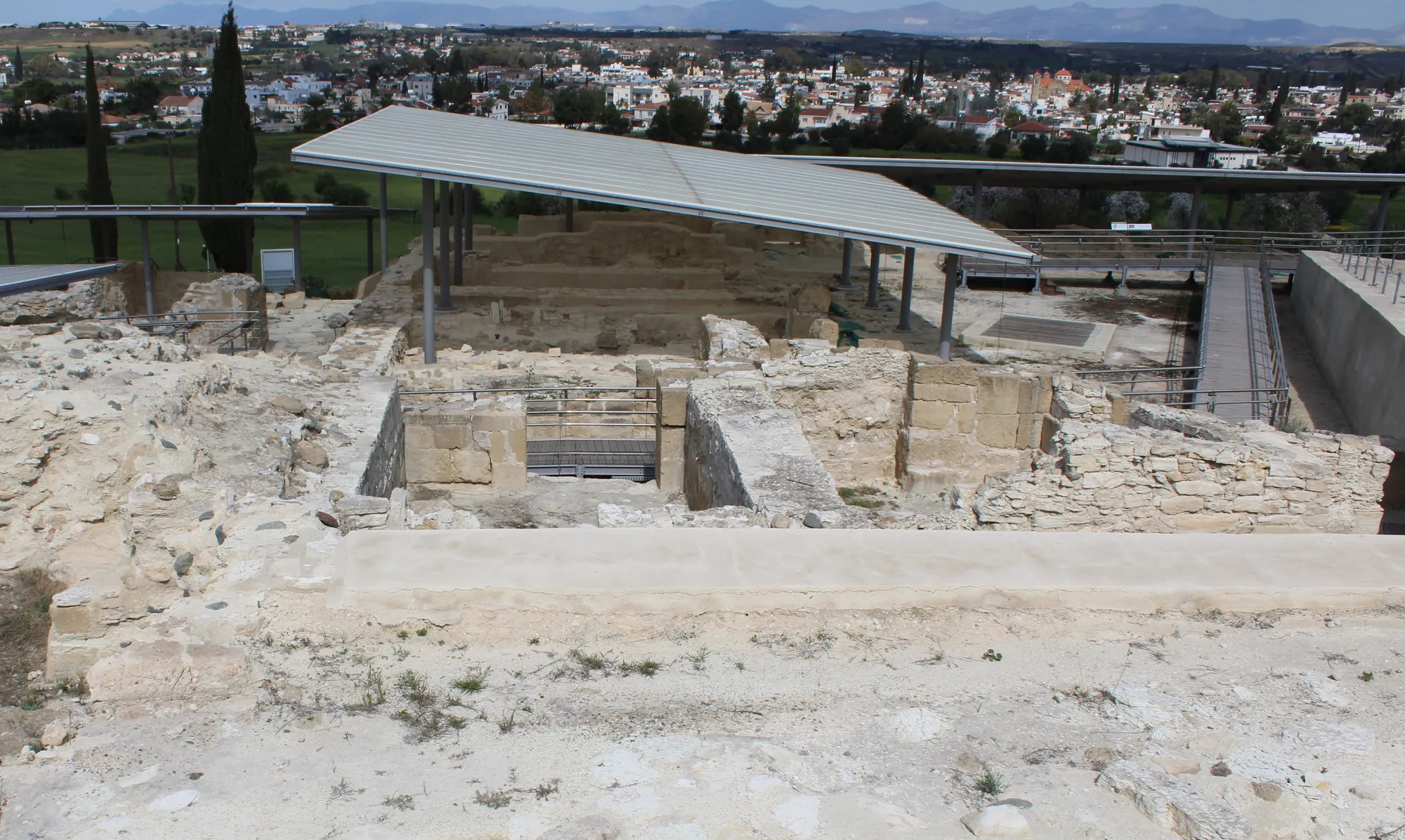
Idalion is an inland city-kingdom of Iron Age Cyprus at the modern village of Dali, built round two limestone acropoleis and a walled lower city on the Yialias river. Its bronze tablet, the longest known text in the Cypriot syllabary, records a siege of the city in the first half of the 5th century BC; soon afterwards Idalion passed to the Phoenician kings of Kition, whose administrative archive was found on the west terrace.
In the compendium
Copper Metallurgy in Ancient Cyprus
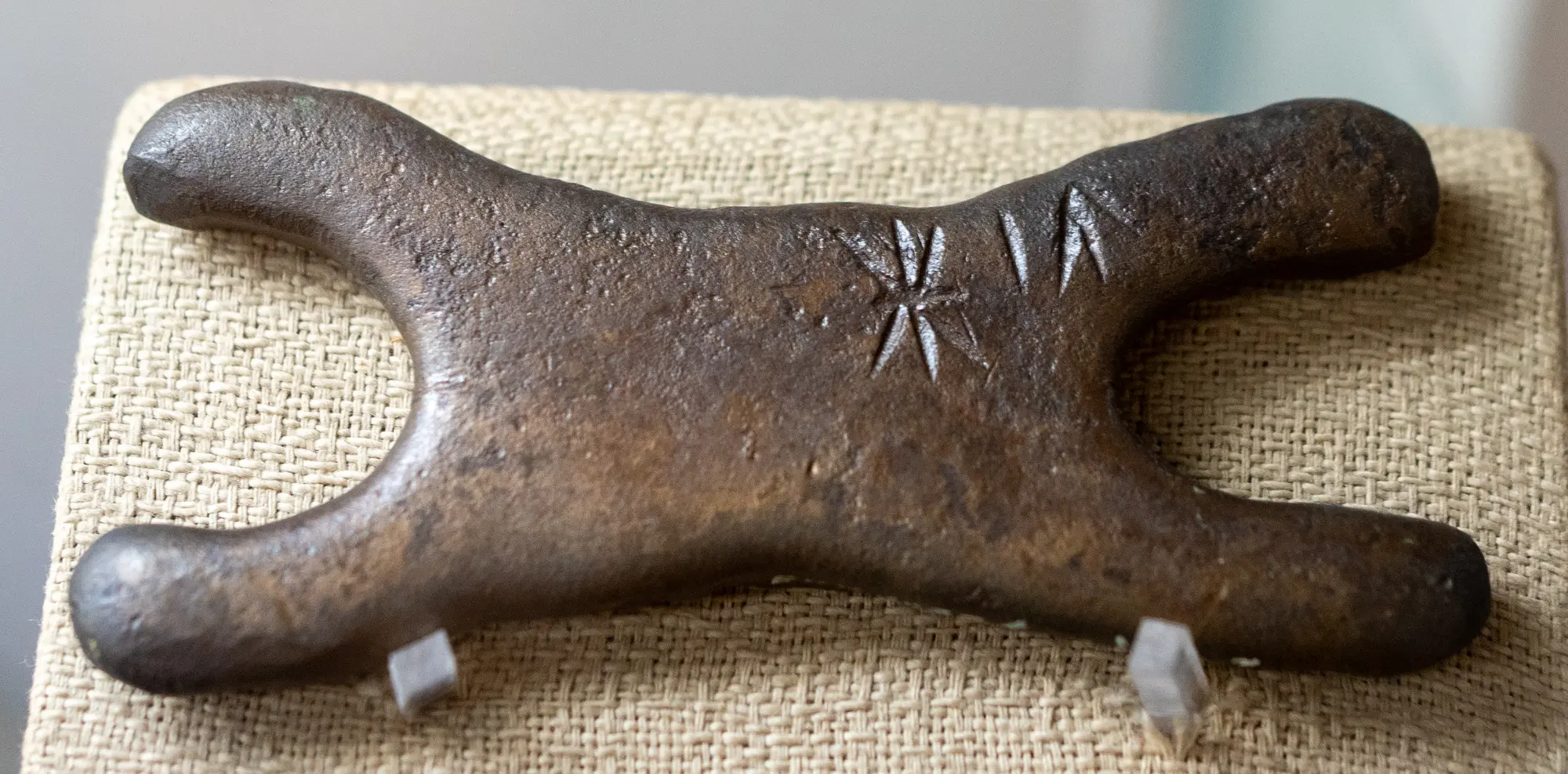
The mining, smelting and casting of the Troodos sulphide ores, from hammered Chalcolithic native copper to Late Bronze Age oxhide ingots and Archaic slag heaps.
In the compendium
Iron Age Cities and Palaces
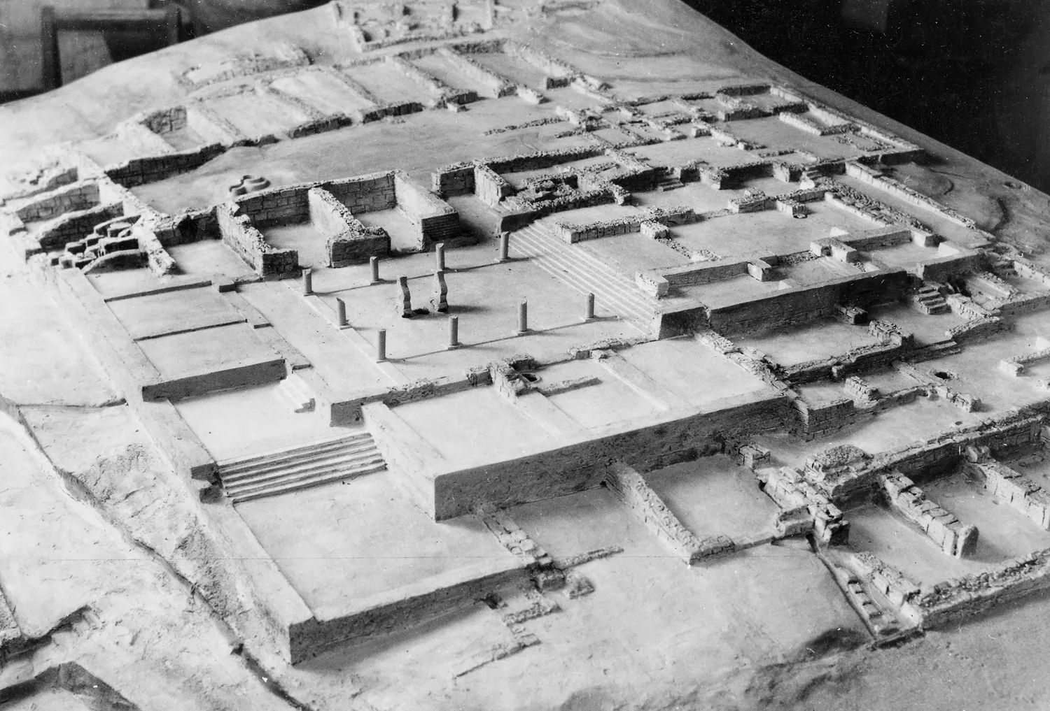
The capitals of the Iron Age kingdoms of Cyprus, their palaces at Vouni, Amathus, Idalion and Palaepaphos, their houses, and the volute and Hathor capitals of the period.
In the compendium
Iron Age Sanctuaries
The Cypriot Iron Age sanctuary was a walled open-air court with an altar, sacred trees and small roofed rooms; Greek-style temples arrived only under Rome.
Map of Cyprus
Places discussed in the talk
- Has a page on this site
- Other places
- Ground above 200, 500, 1,000 m