
Documentary·Archaeological Research Unit - University of Cyprus·2021·In Greek
Settled and Sacred Landscapes in the Xeros River Valley
Chapters
About the video
This short documentary, presented primarily in Greek with brief visitor comments in English, presents the fieldwork and public outreach of two collaborative projects hosted by the Archaeological Research Unit of the University of Cyprus: UnSaLa-CY and Settled and Sacred Landscapes of Cyprus (SeSaLaC). Since 2014, the field team has conducted systematic archaeological surface survey across the rural valley of the Xeros River in the Larnaca district, examining how settlements and sacred places shifted from prehistory to the modern era.
The film begins with the historical background of the valley and its repeated role as a place of refuge: for Syrian saints in the Byzantine period, for Greek Cypriot refugees displaced from the occupied north after the Turkish invasion of 1974 who settled at Kofinou, and for contemporary asylum seekers hosted at the Kofinou reception centre. At the tenth-century church at Kofinou, built over a late sixth- or early seventh-century three-aisled early Christian basilica excavated by Eleni Prokopiou for the Department of Antiquities, the university survey team identified a surrounding early Byzantine agricultural village covering 10 to 13 hectares, with an estimated 1,000 to 1,300 inhabitants. After the sixteenth-century Ottoman conquest, families gradually moved to the site of the later Turkish Cypriot sector of Kofinou. Two hundred metres south of the church lies a rock-cut necropolis founded in the Cypro-Archaic and Cypro-Classical periods. Using GIS spatial analysis of sanctuaries and pottery from the Xeros valley, the project argues that the valley belonged to the territory of the city-kingdom of Amathus, extending as far as Stavrovouni, rather than to Idalion or Kition.
At Alaminos, the documentary examines a fifteenth- to sixteenth-century medieval tower of three storeys, interpreted as a feudal manor house where a lord or bailiff oversaw the local population and stored agricultural produce and taxes on the ground floor. Immediately east of the tower, the survey defined the boundaries of a large Early and Middle Bronze Age settlement, partly excavated earlier by Georgios Georgiou.
The final section covers public and community archaeology: a photography exhibition by Adamos Papantoniou with the Bank of Cyprus Cultural Foundation and the Huntington's Disease Association of Cyprus, 3D digital recording of the medieval church of Panagia Astathkiotissa at Agios Theodoros (inaccessible to Greek Cypriots during the intercommunal troubles of 1964 to 1974 and bearing dated graffiti left by Turkish Cypriot shepherds), and community open days in Kofinou, Alaminos and Agios Theodoros using a mobile touring application and active-learning survey exercises for children.
From our collection
Pieces in the Drakopoulos collection of the kinds and periods this talk covers: Early Cypriot (Early Bronze Age), Cypro-Archaic.
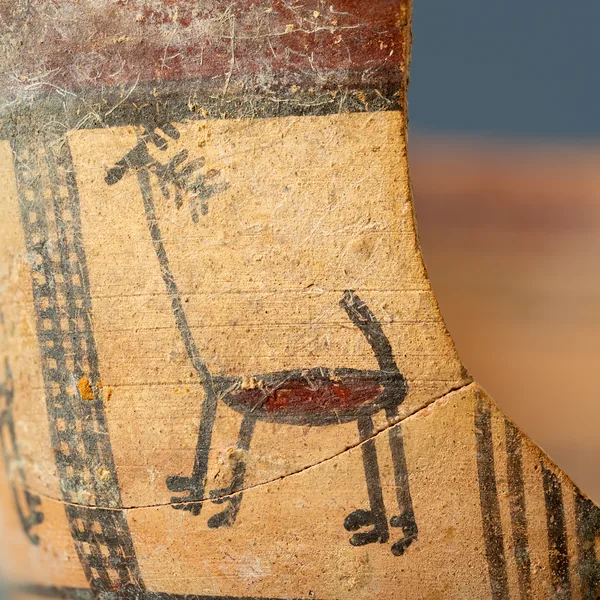
Bichrome Skyphos with Stags in Metopes
Cypro-Archaic
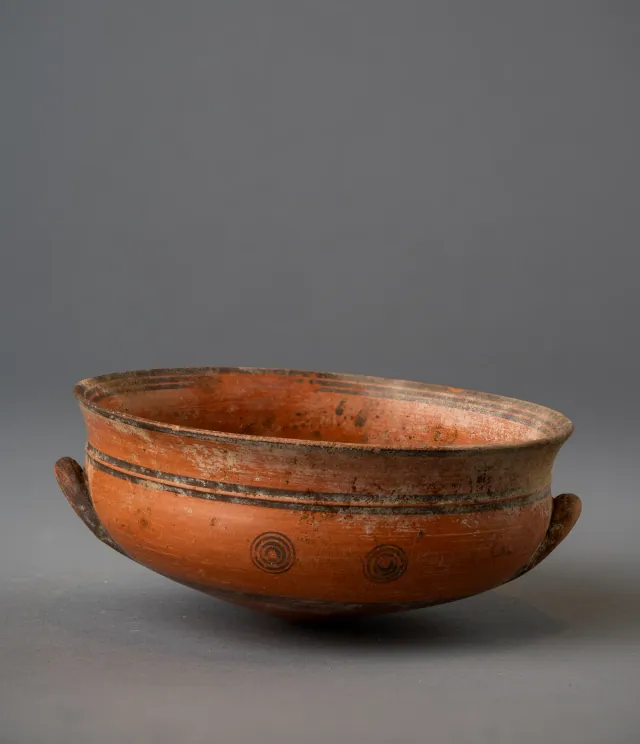
Black-on-Red Two-Handled Bowl with Raised Flaring Rim
Cypro-Archaic
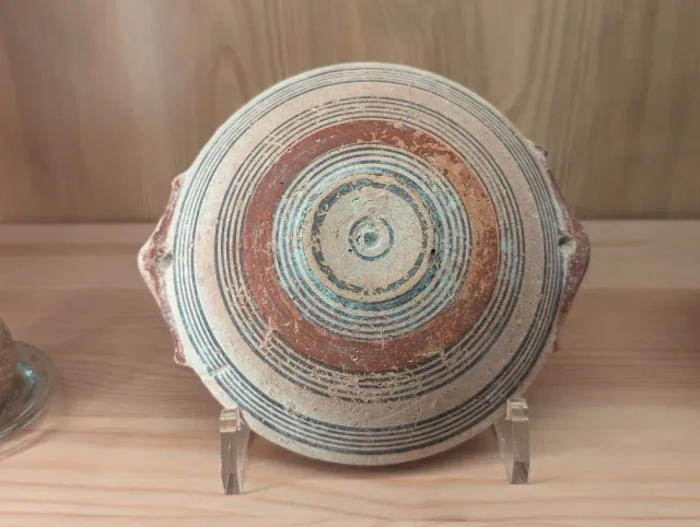
Bichrome IV Bowl with Red-Painted Pierced Lug Handles
Cypro-Archaic
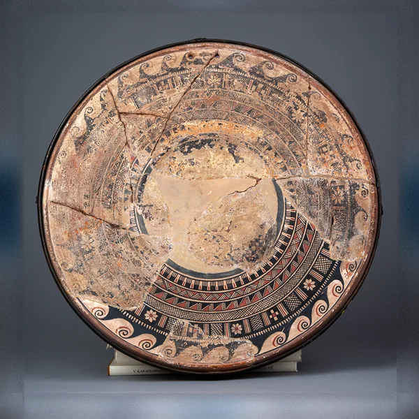
Large Bichrome Plate from Salamis with a Wave Band and Rosette Metopes
Cypro-Archaic
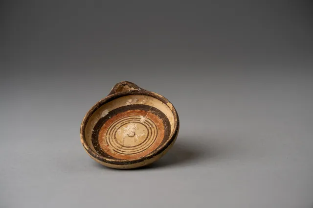
Miniature Bichrome Plate with Concentric Circles
Cypro-Archaic
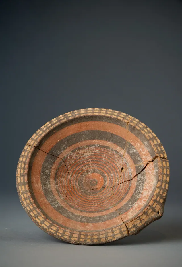
Black-on-Red Plate with Barred Rim and Concentric Circles
Cypro-Archaic
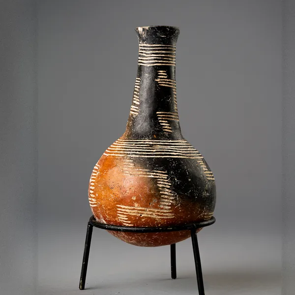
Red Polished Black-Topped Bottle with Stepped Incised Bands
Early Cypriot (Early Bronze Age)
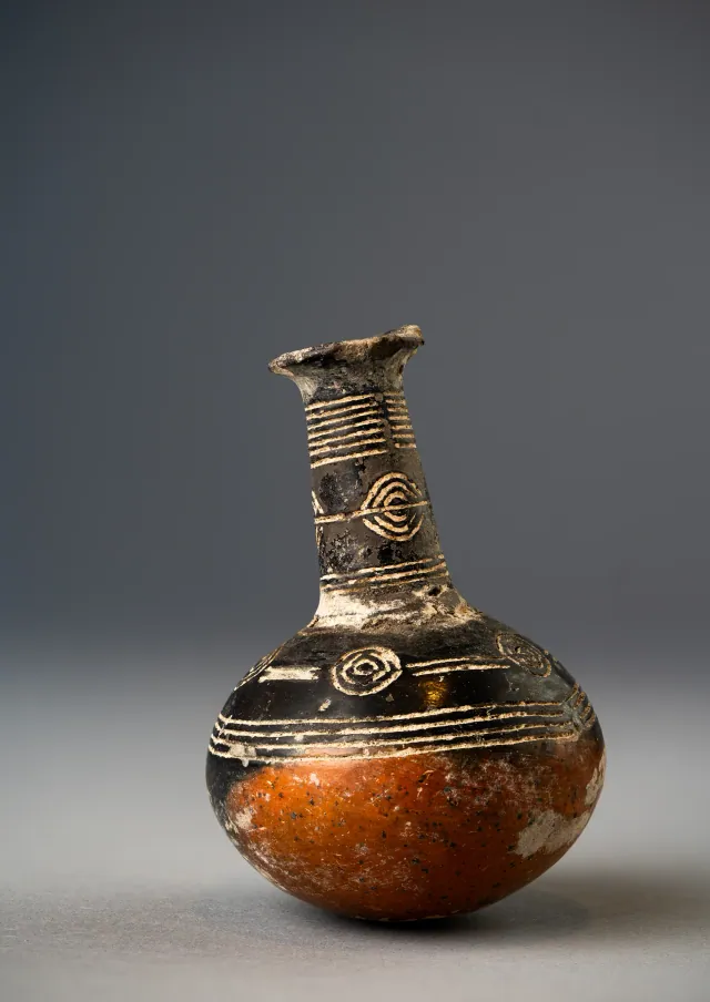
Red Polished Black-Topped Bottle with Incised Concentric Circles
Early Cypriot (Early Bronze Age)
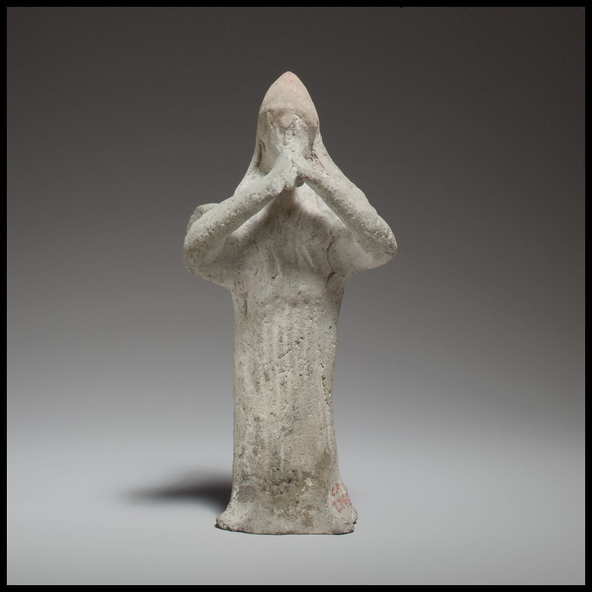
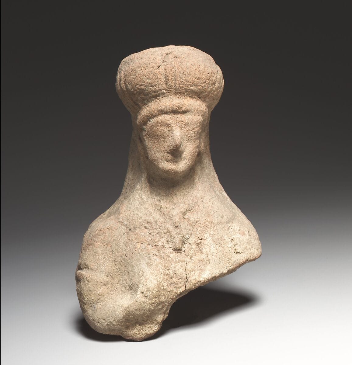
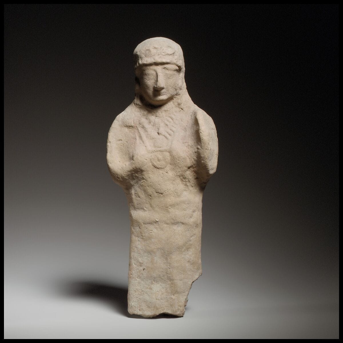
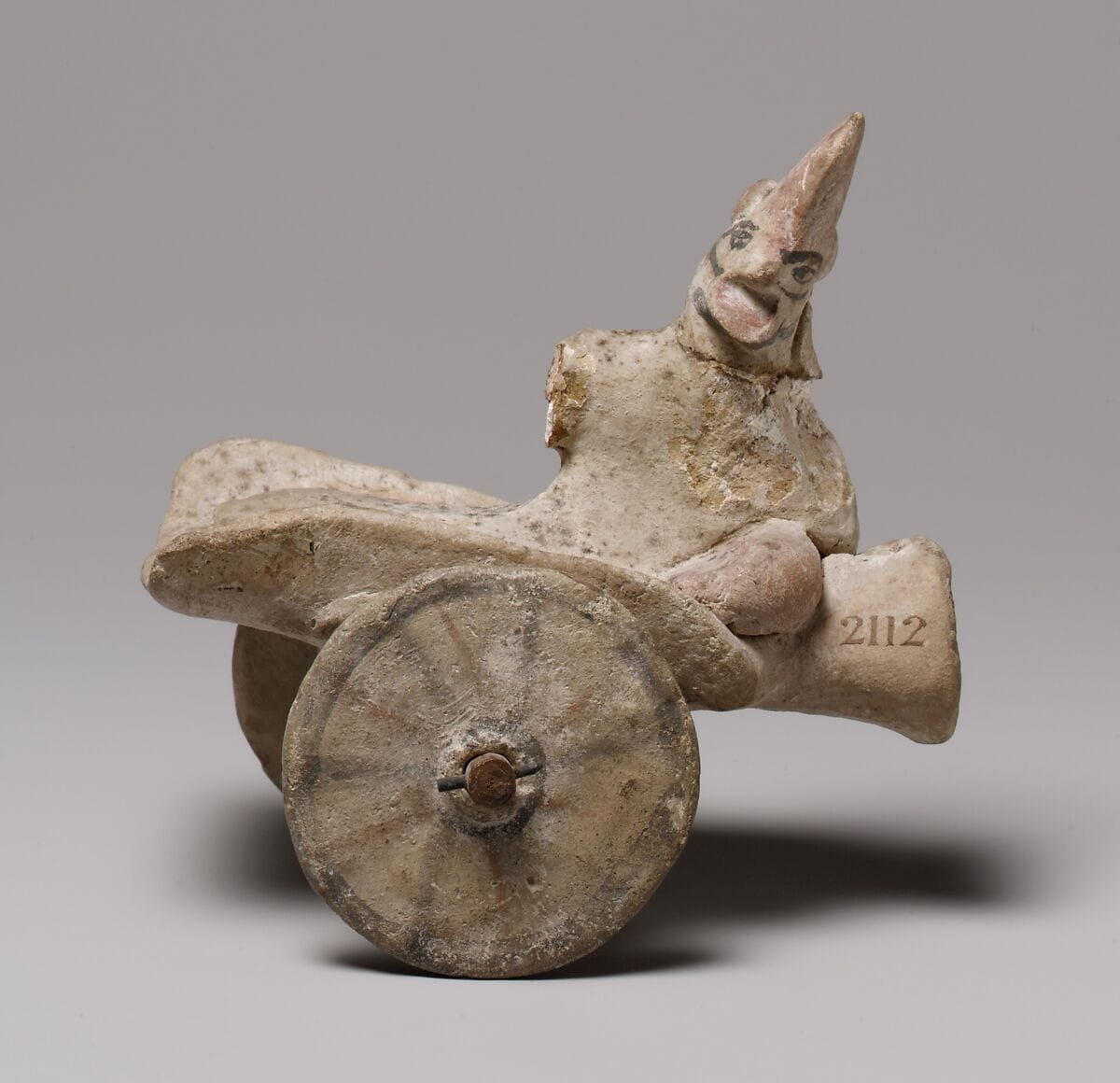
Found at the places discussed
Objects in our catalogue, in museum collections, recorded as found at these sites.
Background
Where to read more on this site before or after watching.
The site
Amathus
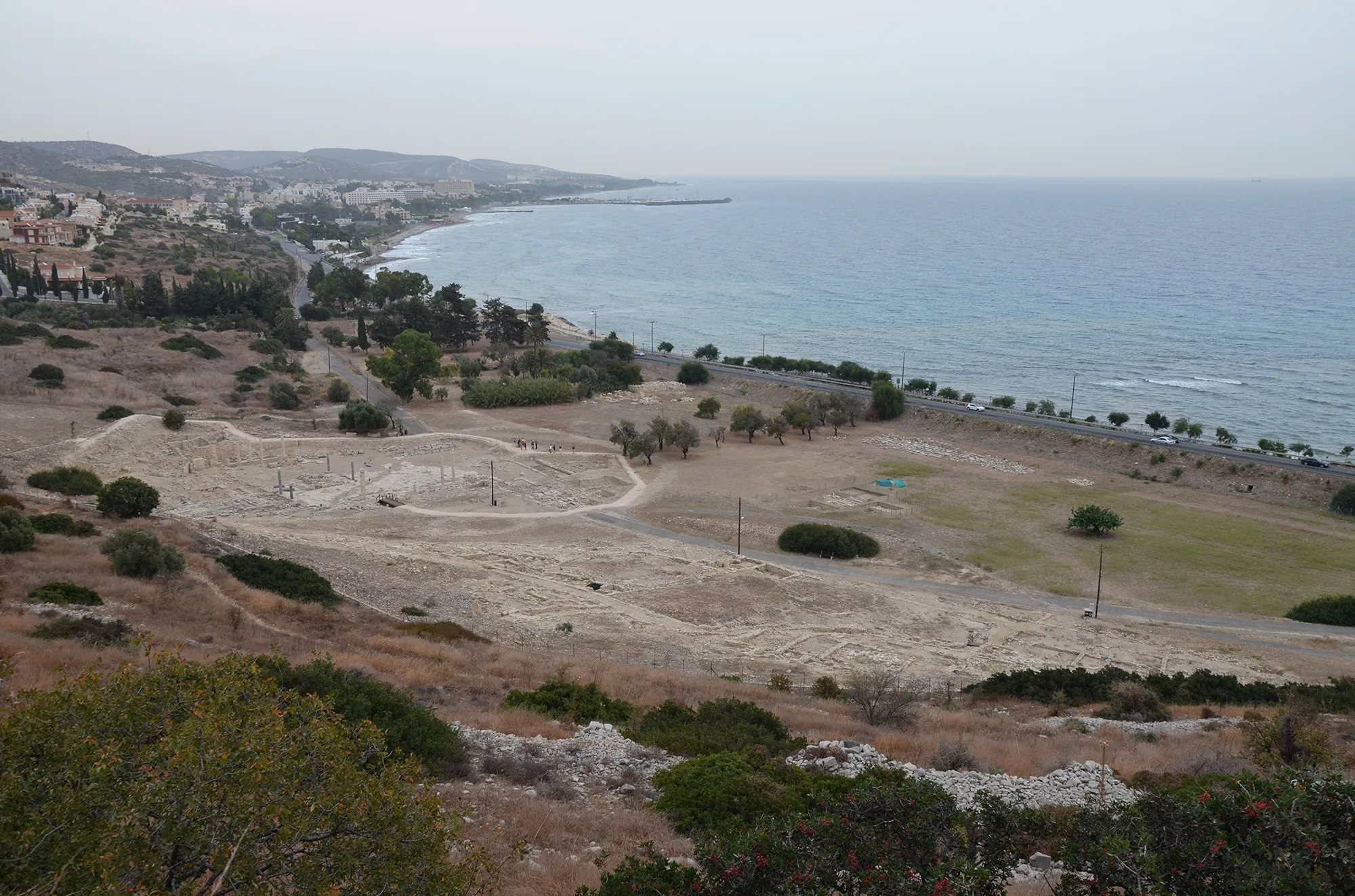
Amathus was the capital of one of the Iron Age kingdoms of Cyprus, on a coastal hill about 10 km east of Limassol. It was founded on an empty site in the 11th century BC and lived in until the end of the 7th century AD. Its acropolis carried a sanctuary of Aphrodite and the kings' palace; its people kept the island's old non-Greek language, Eteocypriot, at least until the time of Alexander.
In the compendium
Iron Age Cities and Palaces
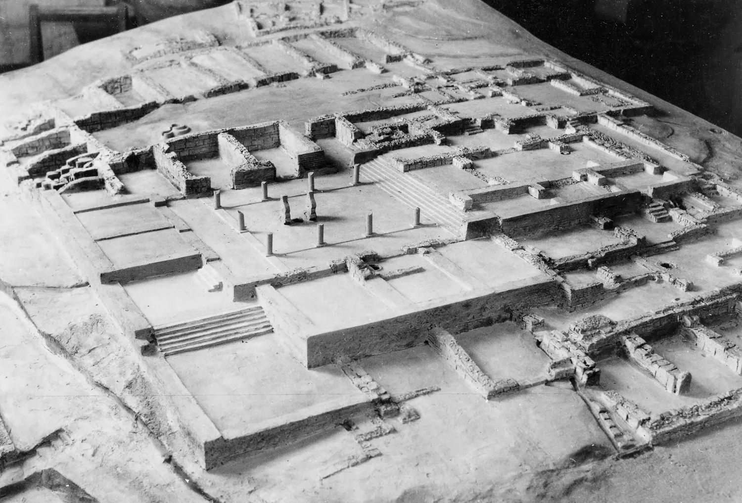
The capitals of the Iron Age kingdoms of Cyprus, their palaces at Vouni, Amathus, Idalion and Palaepaphos, their houses, and the volute and Hathor capitals of the period.
In the compendium
Iron Age Sanctuaries
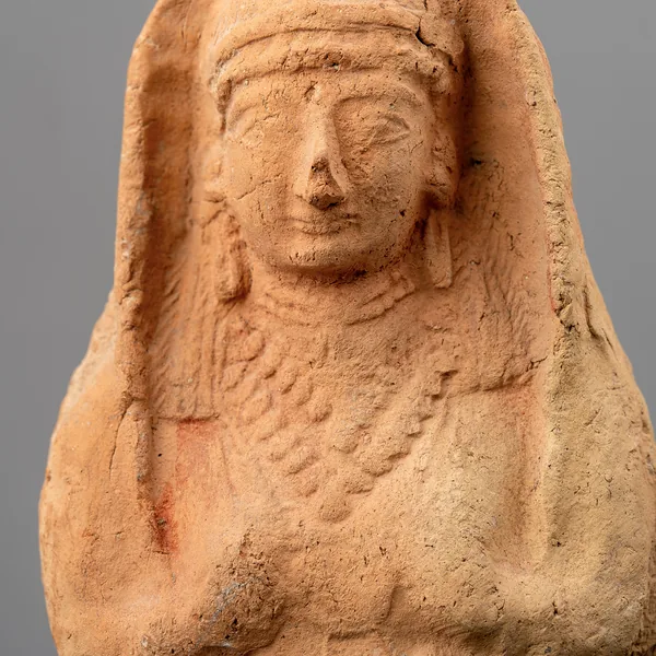
The Cypriot Iron Age sanctuary was a walled open-air court with an altar, sacred trees and small roofed rooms; Greek-style temples arrived only under Rome.
The period
Early Bronze Age
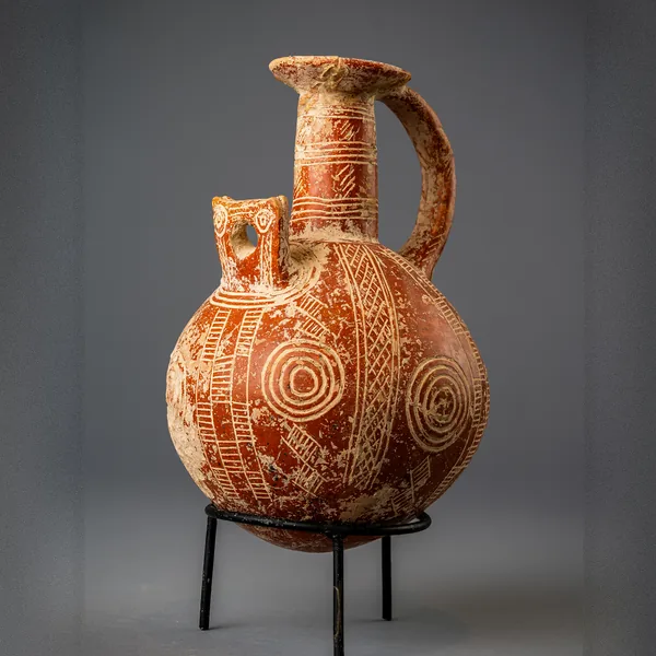
The period c. 2500–1950 BCE, from the Philia phase through Early Cypriot I–III, of rectilinear villages, Red Polished pottery and chamber-tomb cemeteries.
Map of Cyprus
Places discussed in the talk
- Has a page on this site
- Other places
- Ground above 200, 500, 1,000 m
Places
- 1Kofinou (approx.)
- 2Alaminos (approx.)
- 3Agios Theodoros (approx.)
- 4Amathus