
Contents
Amathus (Greek Amathous, French Amathonte) was the capital of one of the kingdoms of Iron Age Cyprus. The city stood on a small hill above the south coast, about 10 km east of modern Limassol, with its cemeteries spread over the ground to the east, north and west [1, pp. 167–168]. It was founded on an empty site in the 11th century BC, and people lived there without a break until the end of the 7th century AD, when the population seems to have moved to Limassol, then called Neapolis, "the new city" [1, p. 170]. On the summit of the acropolis stood a sanctuary of Aphrodite, below it a palace of the kings, and offshore a harbour built at the very end of the 4th century BC. Amathus is also the place where the island's old non-Greek language, which scholars call Eteocypriot, was used longest: at least until the time of Alexander the Great [1, p. 170].
A hill above the shore
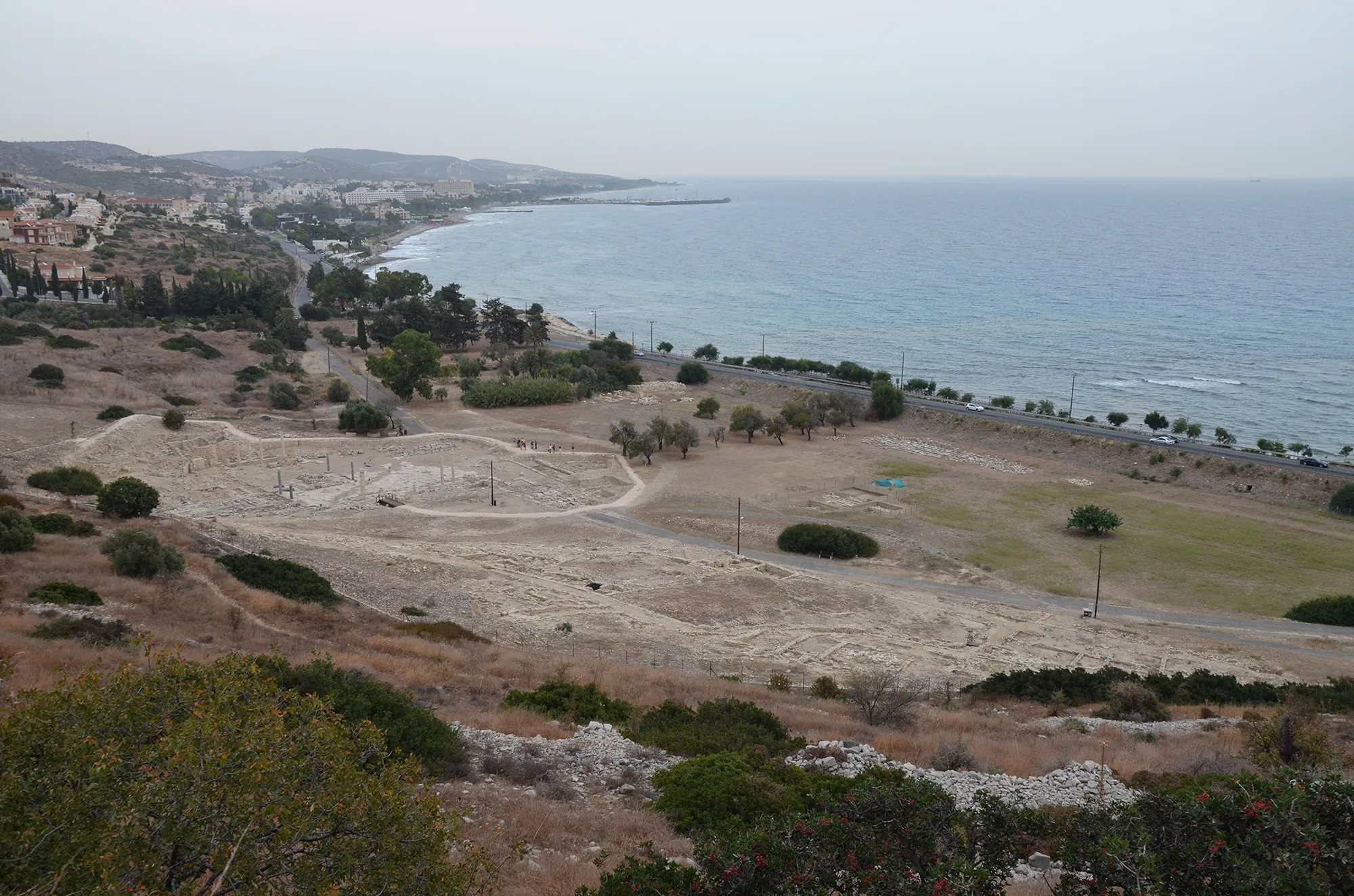
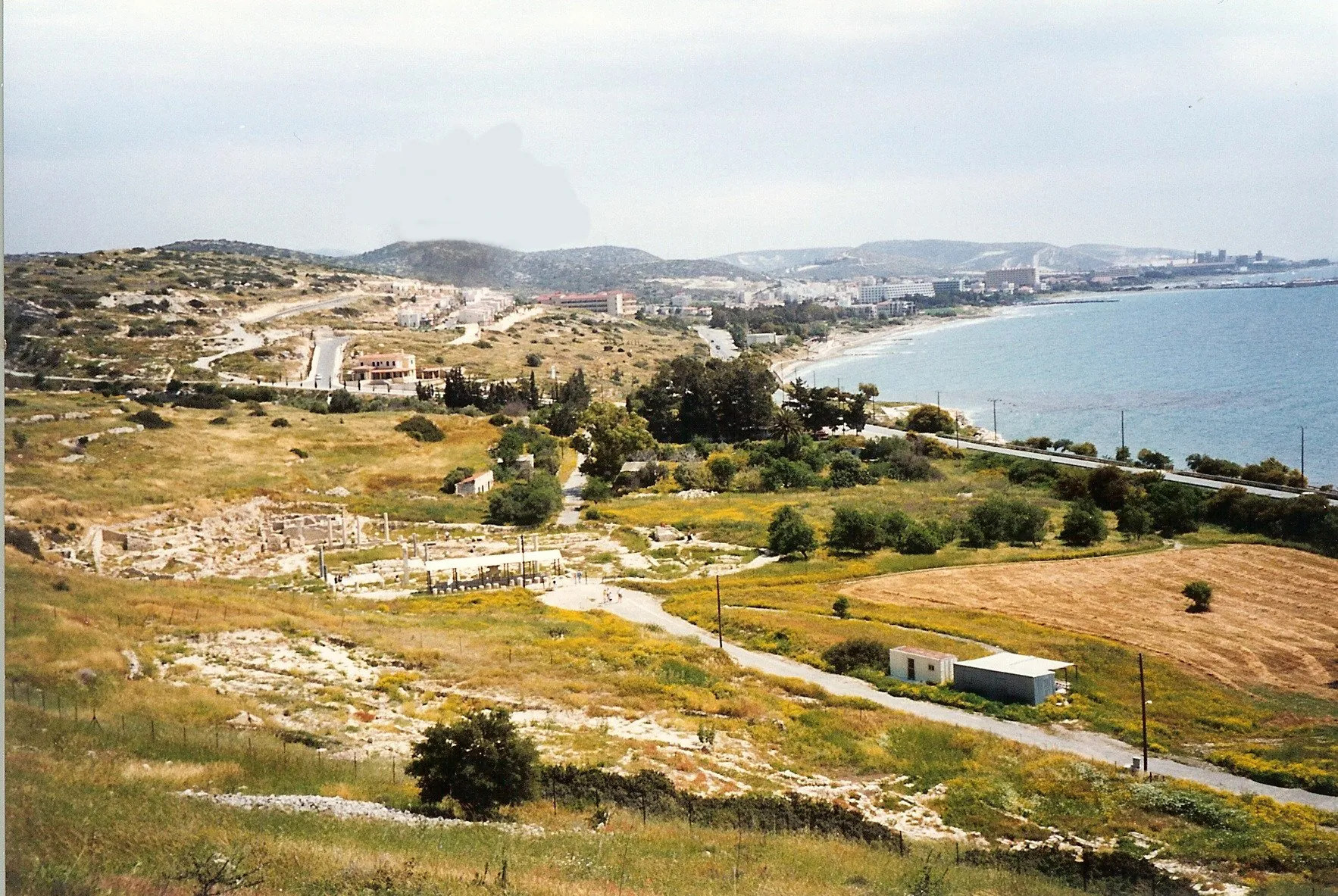
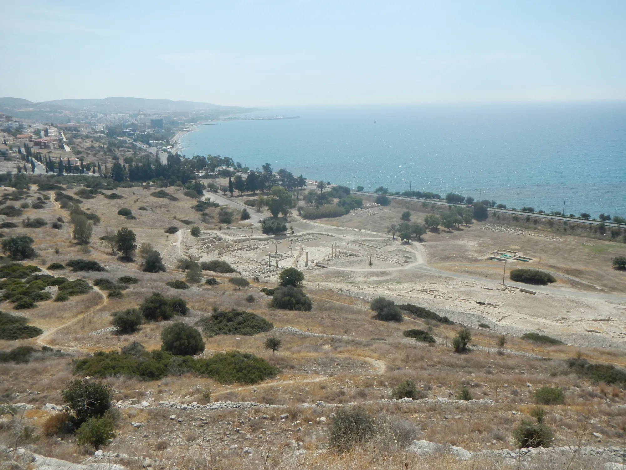
The town occupied a hill 88 m high at its top, which slopes gently down towards the sea. Already in the Archaic period houses probably spread over the ground between the south-east foot of the acropolis and the shore [1, p. 167]. The summit plateau, where the sanctuary stood, lies at about 85 m. It is protected by limestone cliffs on three sides and looks west over the bay of Limassol to the Akrotiri peninsula, but it is exposed to the south wind and has no water of its own [1, p. 183].
The kingdom ruled from this hill was small. Antoine Hermary put it at no more than a third or a quarter of an average French département, but it had good resources: cereals, trees and vines on the coastal plain, and copper and building timber in the part of the Troodos mountains under its control. Water was the main difficulty. It was collected in cisterns, and from the Roman Imperial period it was brought by an aqueduct from the nearest slopes of the Troodos [1, p. 168]. A piece of terracotta water pipe found in the territory is inscribed with "the second year of Hadrian's rule" [1, p. 171].
Maria Iacovou describes Amathus as controlling the area east of the Kouris river, while Kourion was established west of it, and argues from the pottery that in the Cypro-Archaic period the Vasilikos valley lay within the eastern frontier of the Amathusian state [2, p. 638]. Beyond it, to the east, lay the kingdom of Kition.
Map of Cyprus
- Ground above 200, 500, 1,000 m
The plan of the city
The ancient city had three parts. The acropolis carried the sanctuary of Aphrodite on its summit and the palace on the slope below it, and was ringed by walls. The lower city lay between the foot of the hill and the sea, where a large complex of the Roman Imperial period, perhaps an agora, was excavated between 1976 and 1991 by Michael Loulloupis of the Department of Antiquities [1, pp. 167–168]. The harbour lay offshore, and its moles can still be seen from the beach and from the slopes of the acropolis [1, p. 172]. Around all of this, to the east, north and west, lay the cemeteries [1, p. 168].
Plan · c. 1050 BC to the end of the 7th century AD
The city of Amathus
Amathus, on the coast east of Limassol
Hellenistic and Roman: 310 BC to the 4th century AD
Choose a number on the plan, or a name below, to read what was found there and how well it is known.
Key
- Building, placed approximately
- Sea
- Harbour mole, under water
- Aqueduct
- Excavated area
- Contours at 10 m
In the 19th century little was visible: stretches of the city wall, the church of Saint Tychon near the lower city, and the two huge stone vases on the top of the acropolis. The ruins were then known as "Ancient Limassol" [1, p. 170].
Discovery and excavation
The first finds to leave the site were the vases. The better preserved of the pair was taken to the Louvre in 1865 [1, p. 170], carried to France on a French warship [3, p. 132]. Luigi Palma di Cesnola, the American consul, dug in the cemeteries in 1874 and 1875 and found, among other things, the carved limestone sarcophagus now in the Metropolitan Museum of Art and a silver bowl now in the British Museum [1, p. 170; 4]. The British Museum excavated tombs in 1893 and 1894 with funds from the Turner Bequest [5], and the Swedish Cyprus Expedition dug more in 1930 [6]. These campaigns produced useful information, but by 1975, in Hermary's words, "almost everything remained to be done" [1, pp. 170–171].
Immediately after the Turkish invasion of 1974, Vassos Karageorghis asked Pierre Amandry, Director of the French School at Athens, to undertake a large excavation at Amathus. Pierre Aupert began soundings in 1975, mainly on the acropolis, with a team of French and Belgian archaeologists, and the French mission has worked there ever since [1, p. 167].
| Years | Excavators | Work |
|---|---|---|
| 1874–1875 | L. P. di Cesnola | Tombs in the cemeteries [1, p. 170] |
| 1893–1894 | British Museum, Turner Bequest | Tombs, published in 1900 [5] |
| 1930 | Swedish Cyprus Expedition | Tombs [1, p. 171; 6] |
| from 1975 | French School at Athens | Acropolis: palace and sanctuary; city walls from 1988; survey of the territory from 1988 [1, pp. 167, 171, 174–175] |
| 1976–1991 | M. Loulloupis, Department of Antiquities | The large complex in the lower city [1, p. 167] |
| from the late 1970s | Department of Antiquities | Rescue excavations in the cemeteries, ahead of tourist building [1, p. 168] |
| 1984–1986 | J.-Y. Empereur, French School at Athens | Underwater excavation of the harbour [1, p. 172] |
| from 2009 | E. Stefani and Y. Violaris, Department of Antiquities | Built tombs at Loures [7] |
Within the French mission, Françoise Alabe and Thierry Petit took up the palace in 1988; Antoine Hermary has directed the work in the sanctuary since 1979, with the architect Martin Schmid; and Aupert and Pierre Leriche studied the city walls from 1988 [1, pp. 174–175, 182].
A city without a Bronze Age past
At the end of the Late Bronze Age, in the 13th and 12th centuries BC, the south coast of Cyprus was dotted with small towns: Kition, Hala Sultan Tekke, Maroni, Kalavasos-Ayios Dimitrios, Kourion, Alassa, Palaepaphos. Neither excavation nor survey has found any trace of occupation of that date at Amathus or in its region [1, p. 171]. The region had been well settled in the Neolithic, between Khirokitia, about 20 km away, and Sotira near Kourion, but that was thousands of years earlier [1, p. 171].
The earliest occupation of the town site is no earlier than the end of Late Cypriot III, at the beginning of the 11th century BC, and may be as late as Cypro-Geometric I, after about the middle of the century [1, p. 170]. Iacovou describes Amathus as "a site with no previous history, and founded late in the 11th century" [2, p. 635]. Unlike Salamis, Paphos or Kition, it did not take over from a Late Cypriot town [2, p. 638].
Ancient writers made the Amathusians an old island people. The historian Theopompos called them descendants of the "companions of Kinyras", driven out by the Greeks who came with Agamemnon, and the geographical text known as Pseudo-Skylax calls them "autochthonous" [1, p. 170]. The tombs do not bear this out in any simple way: Early Iron Age Amathus shows no sign of a separate ethnic group with its own burial customs, and its cemeteries hold as many chamber tombs with a dromos as those of Paphos [2, p. 635].
The tombs show that the site was lived on throughout the Geometric period, from about 1050 to 750 BC, while the acropolis was hardly used before the 8th century [1, p. 170].
Phases
- No Bronze Age town13th–12th centuries BC
No trace of occupation at Amathus or in its region while other towns flourish along the south coast.
- Foundation11th century BC
First settlers, at the end of Late Cypriot III or in Cypro-Geometric I. The earliest evidence comes from tombs.
- Geometric townc. 1050–750 BC
Continuous burial in the cemeteries. Built tombs at Loures from Cypro-Geometric II. First phase of the palace in the first half of the 8th century.
- Archaic kingdomc. 750–480 BC
Sanctuary of Aphrodite on the summit; the great stone vases by the 7th century; palace rebuilt in the 6th century; Amathus holds out against Onesilos in 499–498.
- Classical kingdomc. 480–310 BC
Last state of the palace, about 500 to 300 BC. Kings with Greek names; Androkles, the last king, sides with Alexander.
- Hellenistic citylate 4th–1st century BC
Harbour built at the very end of the 4th century and soon left unused; decline under the Ptolemies; a Doric portico in the sanctuary.
- Roman city1st–4th century AD
Temple of Aphrodite built between the later 1st and the earlier 2nd century AD; aqueduct; the lower city rebuilt.
- Christian city4th–7th century AD
Basilicas; a Christian complex replaces the sanctuary about AD 600; new walls on the acropolis.
- Abandonmentend of the 7th century AD
The population moves to Limassol (Neapolis); the acropolis is left to shepherds and hunters.
The acropolis
The palace
On the north slope of the acropolis, below the sanctuary, the French mission found a large building in 1975 to 1977 and the strong wall closing it on the south in 1982. Its storerooms were excavated in 1988–1989 and 1992 [1, p. 175]. Hermary set out three main phases:
- a first phase towards the end of the Geometric period, in the first half of the 8th century BC;
- a second in the 6th century BC, on a plan close to that of the last;
- a third and last state, from about 500 to 300 BC [1, p. 175].
The final destruction came in the wars of Alexander's successors, at the same time as the harbour was abandoned. Afterwards the area was only partly reoccupied, by craftsmen's workshops in the 3rd century BC and a small house in the 7th century AD [1, p. 175].
The storerooms cover about 400 m². Their main use was the storage of foodstuffs in large jars, of which 34 have been securely identified; other rooms served for craft work. Syllabic signs on fragments of the jars are probably identification or inventory marks, and a seal impression of the 4th century BC (Limassol AM 1776) is probably a trace of archives kept elsewhere in the building [1, pp. 175–176, 180]. The fill above the ruins held fragments of Hathoric capitals of exceptional size, one of about 480 BC (Limassol AM 805) 1.225 m high, a large base of Oriental type, limestone statuettes, terracotta figurines and incense burners, and a quantity of fine Attic black-figure and red-figure pottery far greater than in the sanctuary or the cemeteries [1, pp. 176, 179–180]. A storehouse and administration joined to a cult of the goddess, in a prominent place on the acropolis, led the excavators to identify the building as the palace of the kings of Amathus. Hermary compares it with the palace of Vouni, where Hathor, identified with the local Aphrodite, likewise stood for the bond between king and goddess [1, pp. 176, 180].
The sanctuary of Aphrodite
Ancient texts name Aphrodite (Latin Venus) as the chief deity of Amathus. When the right of asylum of the eastern Mediterranean cities was reviewed in AD 22, the Cypriots counted her sanctuary among the three most important on the island, with that of Aphrodite at Palaepaphos and that of Zeus at Salamis [1, pp. 180–181]. Excavation on the summit began in 1976. In 1979 two dedications of King Androkles, to "the Cypriot goddess" and to "the Cypriot Aphrodite", settled the identification [1, p. 181].
Little architecture survives from the time of the kings. The pottery, which is very abundant, shows that the summit was used from shortly before the beginning of the Archaic period, which Hermary places towards the middle of the 8th century BC [1, p. 185]. At the north end of the hill, at its highest point, is a small rock-cut tomb with a dromos. No finds were left in it, but its shape, and a large stone with cup-shaped hollows lying on its fill, recall Geometric tombs at Palaepaphos-Skales. Hermary considered whether it might be the tomb of Ariadne, who according to the local writer Paion, quoted by Plutarch, died in childbirth at Amathus and was worshipped there as Ariadne-Aphrodite. He found no further evidence for this, and read it as an old tomb made sacred when the sanctuary was founded [1, p. 185].
Other features belong to the cult itself. In front of a small natural cave, filled in by the end of the Archaic period, lay a fragmentary clay vessel of the early 7th century BC on which two bulls frame a syllabic inscription [1, pp. 184–186]. Nearby, a right-angled setting of pierced stones surrounds holes cut in the rock, probably to hold aniconic offerings such as stelae or posts [1, p. 186]. The terracotta figurines of naked women are of Phoenician inspiration, an Attic sherd of the early 5th century carries a Phoenician graffito, and a stone Hathoric capital reused near the great vases shows that the local goddess had been identified with the Egyptian Hathor by the end of the Archaic period [1, p. 186]. From the early 5th century, small Greek-style korai in clay and limestone appear, and at the end of the 4th century Androkles wrote his dedications in alphabetic Greek [1, p. 186].
The great stone vases
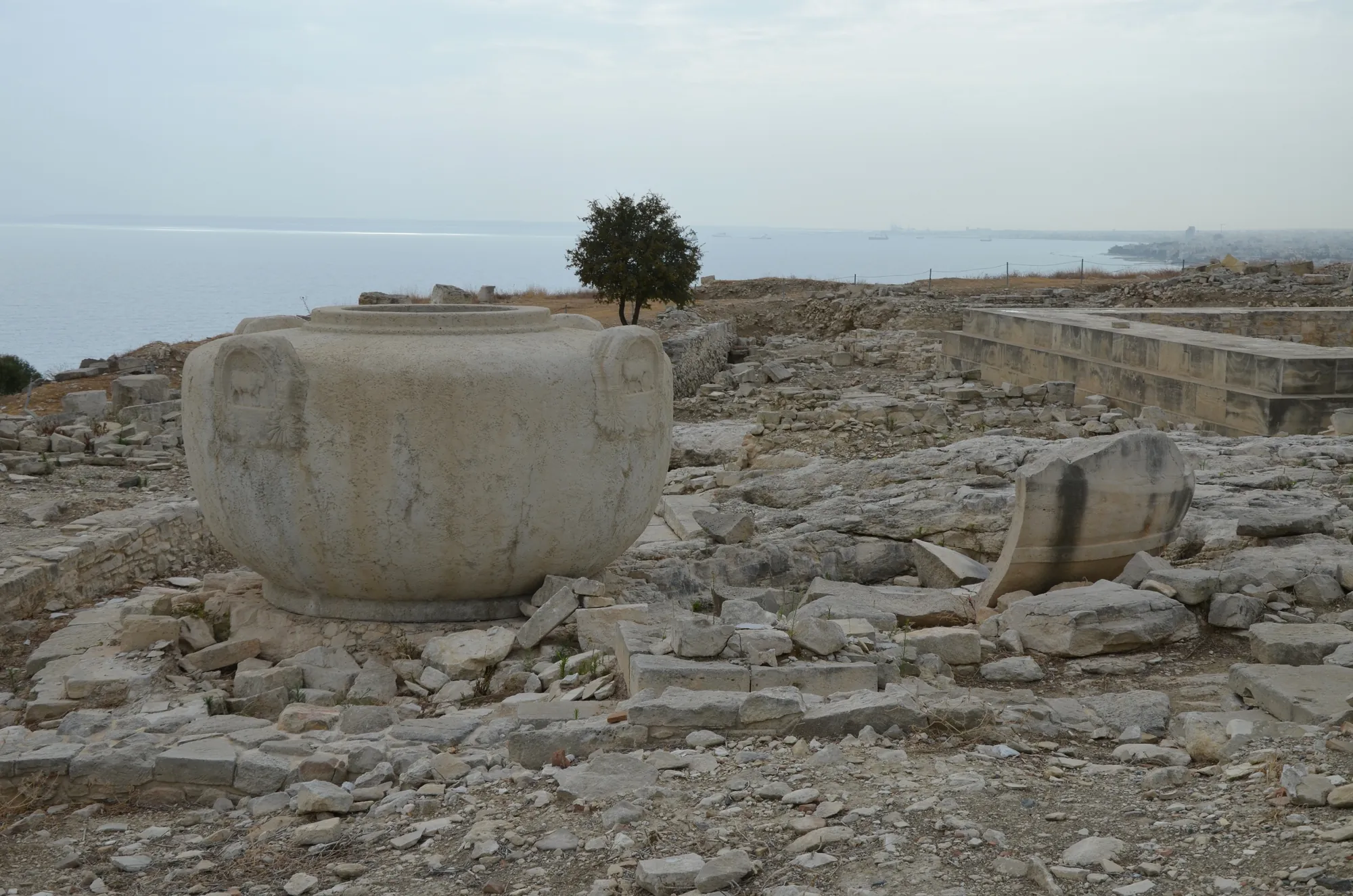
Two colossal stone vases stood in the entrance court of the Archaic sanctuary. The one in the Louvre (AO 22897) is a single block of limestone, probably cut from the cliff of the acropolis itself. It is 1.87 m high and 3.19 m across at its widest, with a mouth 1.17 m wide, and weighs about 13 tonnes [3, p. 132]. Its four handles are carved with bulls beneath them and palmettes, and on the style of this carving Hermary dates the vase to the 7th century BC [1, p. 185]. The water it held must have had a ritual purpose; the vases are often compared with the "bronze sea" of the Temple in Jerusalem [1, p. 185]. In 1989 Hermary found an Eteocypriot inscription on one of the handles, which gives no precise information [1, p. 185].
Fragments of the second vase came to light in the first season of excavation on the summit, in 1976 [1, p. 181]. Both vases survived the demolition of the sanctuary about AD 600, when they alone were kept in the Christian complex built over it [1, p. 190]. What visitors see on the summit today is a modern replica of the Louvre vase [8].
The temple of the Roman period
The first substantial buildings preserved in the sanctuary are late Hellenistic: a Doric portico, soon covered by the temple, and a carefully built "house" of uncertain purpose a little to the south [1, p. 187]. A few decades after the asylum was renewed, the sanctuary was transformed by a monumental temple, comparable in Cyprus only with the temple of Zeus at Salamis and that of Apollo Hylates at Kourion. It measured about 32 by 15 m, faced east, and was built between the second half of the 1st century AD and the first half of the 2nd [1, p. 188]. It was a prostyle temple of local limestone, Hellenistic in its architecture except for its capitals, which Hermary counts among the finest known examples of the so-called Nabataean style [1, p. 188]. When it was excavated only part of the front stair and of the north side of the platform remained in place, but many fallen or reused blocks of the entablature were recovered; Martin Schmid studied and restored it on paper [1, p. 188].
The temple was probably abandoned about the middle of the 3rd century AD and reused after alterations about the 5th century, perhaps as a church [1, p. 188].
The Christian complex on the summit
At the end of the 6th or the beginning of the 7th century AD the temple and the other buildings still standing were almost entirely taken down, and their blocks were reused in the foundations of a Christian complex. Its centre is a small church with three aisles and a narthex. With its annexes it forms a rectangle of about 26 by 24 m, bordered by a large court with a vaulted underground cistern on the axis of the nave. The floor of the church, of opus sectile, survives in fairly good condition; many of its pieces were cut from carved plaques of an earlier building [1, pp. 190–191]. Without a baptistery it cannot have been the bishop's church. Two other basilicas have been excavated, on the south-east slope of the acropolis and at Ayia Varvara outside the city to the east, and another, apparently large, lay by the sea [1, p. 191].
The lower city
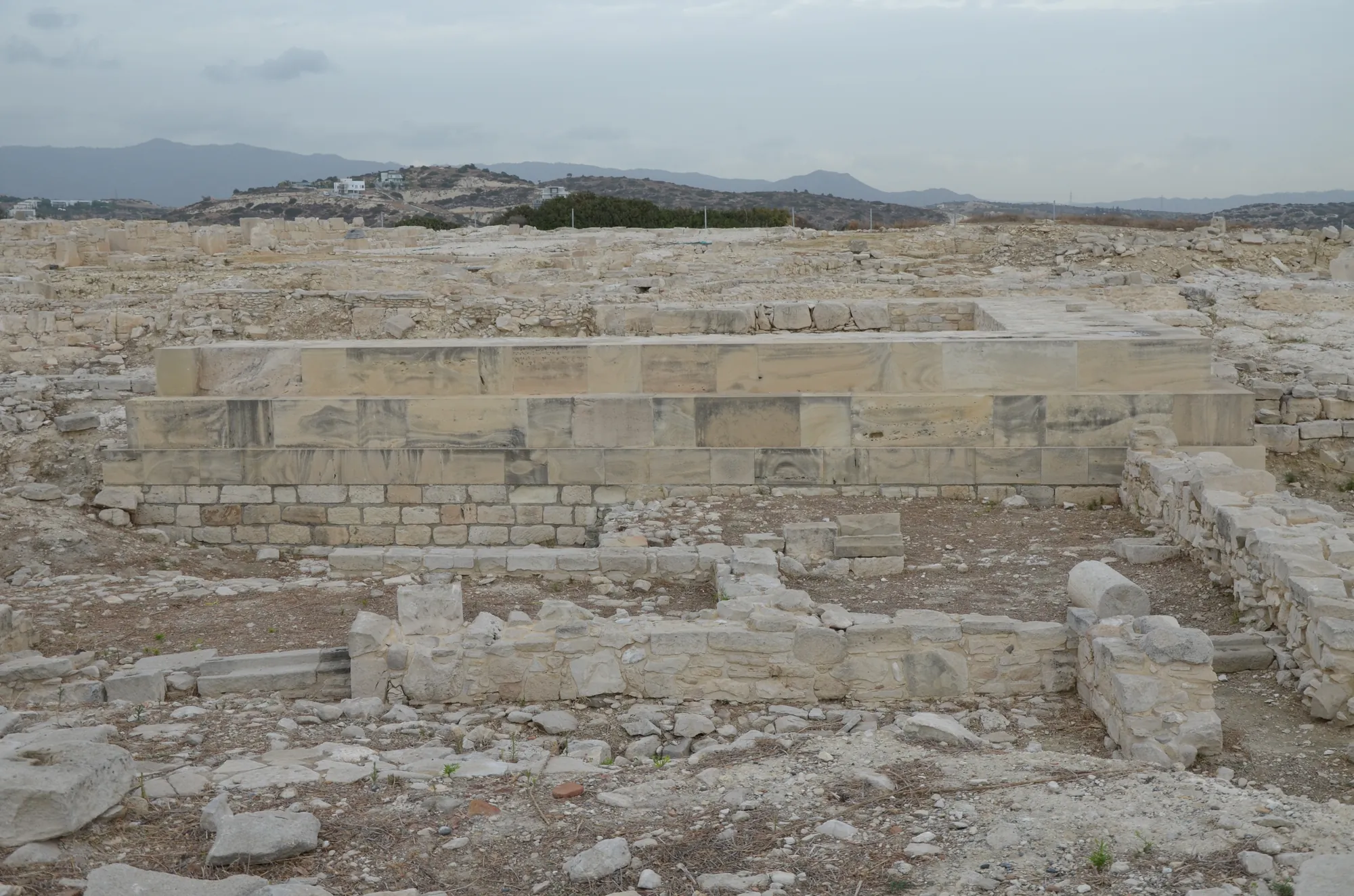
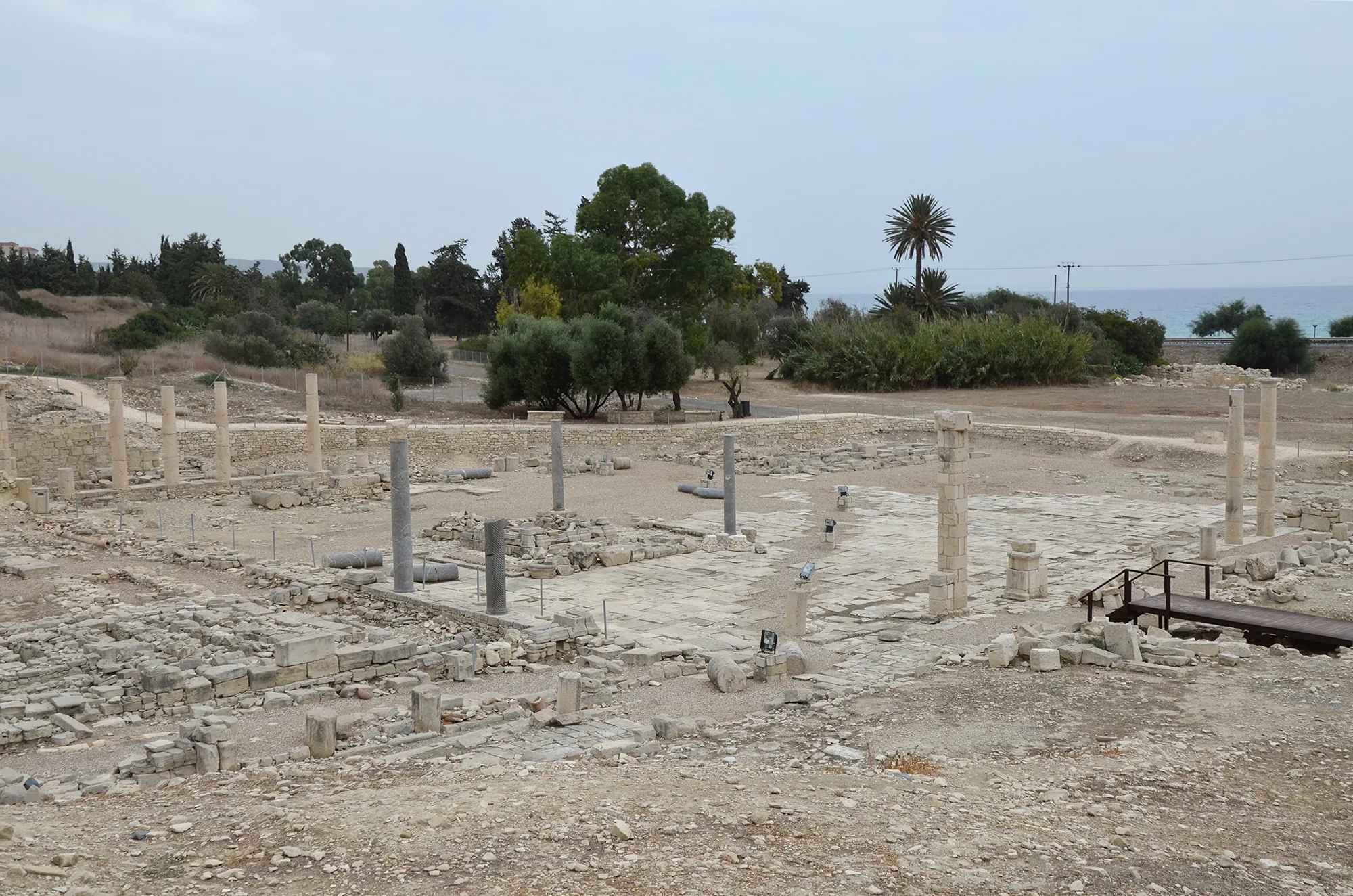
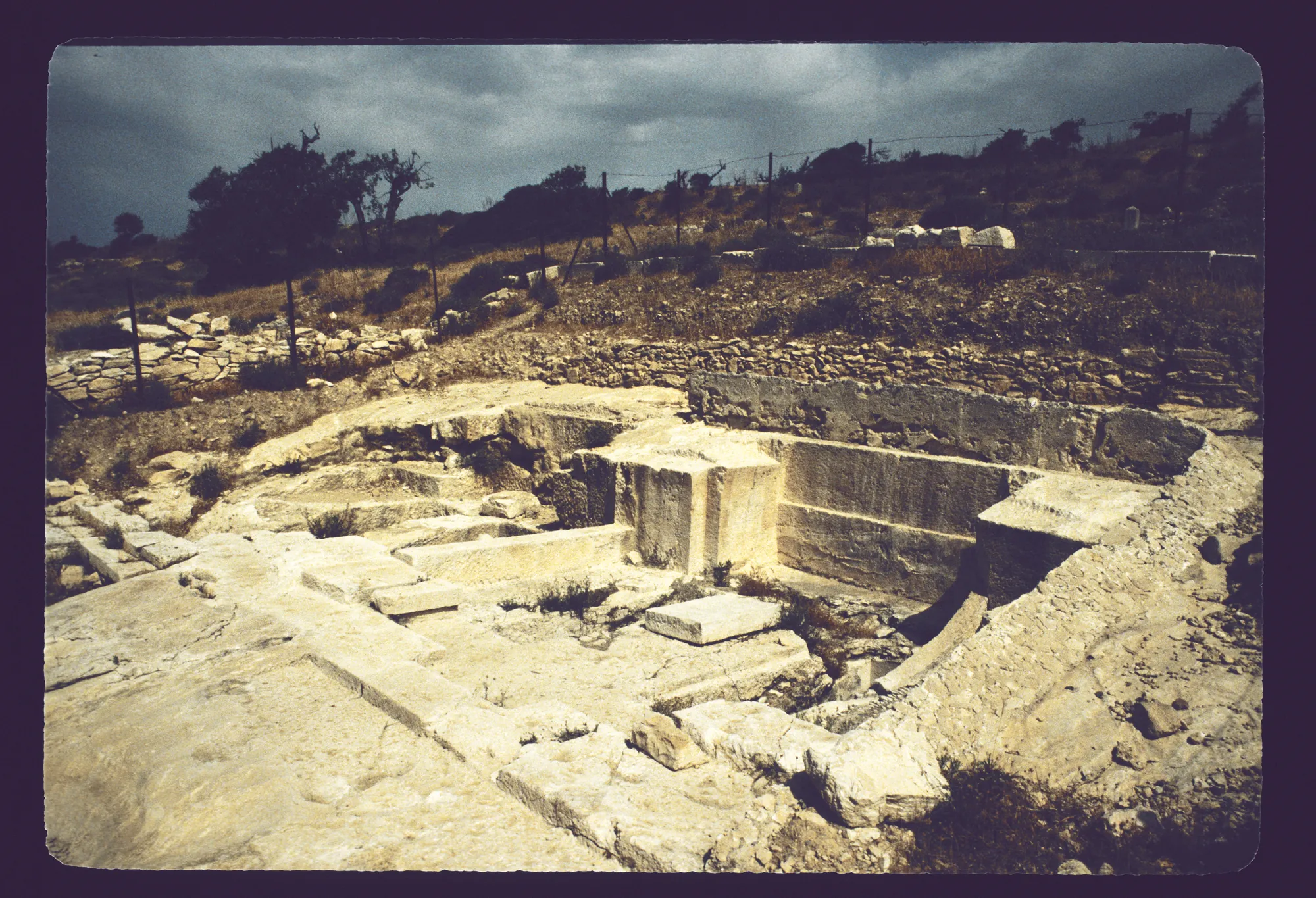
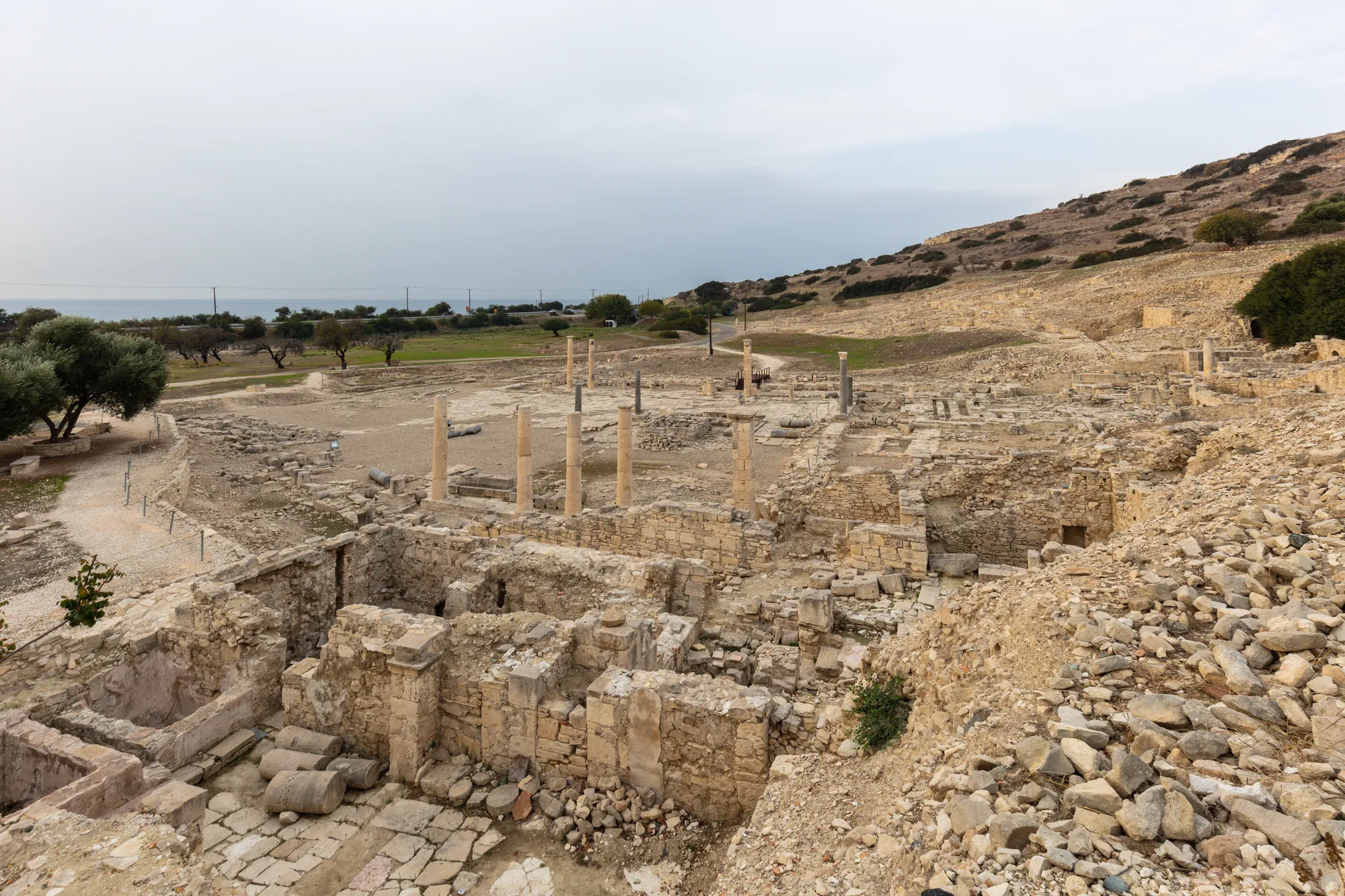
The large complex excavated by Loulloupis between the foot of the acropolis and the sea is, in its visible form, of the Roman Imperial period, and may have been the agora [1, p. 167]. Visitors see a large stone-paved square with porticoes of Doric columns on three sides, and baths with a circular structure and annexes dating to the Hellenistic period [8].
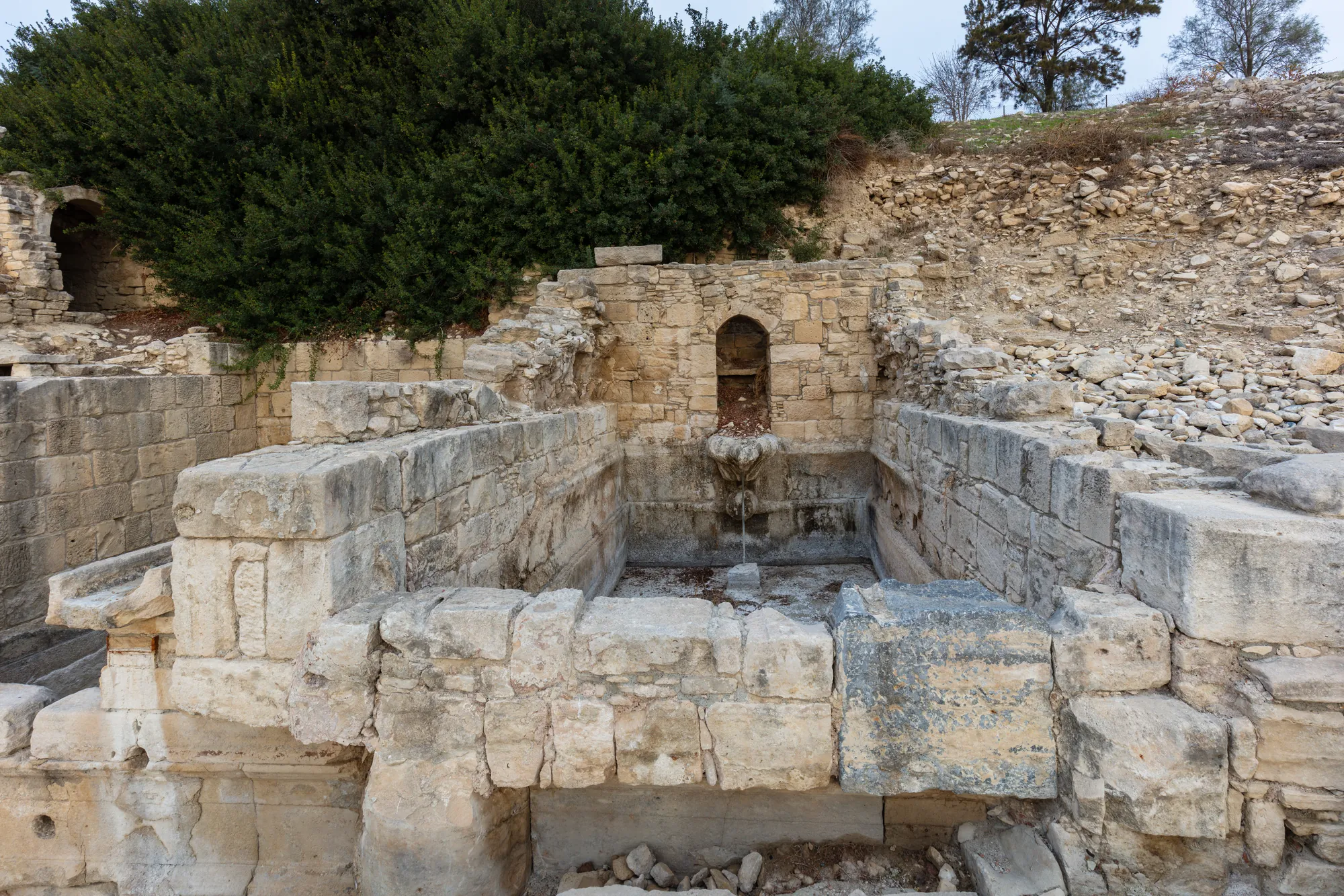
The harbour of the Archaic and Classical city has not been found. Hermary suggested that it lay a little inland, opposite the later agora [1, p. 174].
Our reconstruction of a small Roman bath shows how a heated bath of this period worked. It is not a reconstruction of the baths at Amathus.
Reconstruction · Building · Roman
How a Roman Bath Was Heated
1st to 4th century AD
A generic small bath of the Roman period, of the kind built in the cities of Cyprus, with its furnace and heated rooms. It does not reconstruct the baths at Amathus.
Formats: Measured drawings · 3D model · Build sequence · Guided tour
The city walls
The walls are visible in two places. The stretch halfway up the acropolis, explored in 1975–1976 and again from 1988, is no earlier than the Early Christian period: its main phase belongs to the 6th century AD, and in the following century the west gate was blocked and a fore-gate built towards the centre of the hill [1, p. 174]. Some of the blocks from the demolished sanctuary were built into it [1, p. 190]. Older walls survive by the sea. There the east-west stretch parallel to the shore seems to be Classical at the latest, and its north-south return was probably built early in the Hellenistic period, perhaps with the harbour [1, pp. 174–175]. A watercolour by Luigi Mayer of the end of the 18th century shows this part of the wall, and shows that the stone robbing on the shore began before the building of the Suez Canal [1, p. 175]. In 1990–1991 an imposing section of wall with two towers was found north of the acropolis. Tower A is probably Hellenistic; the round structure beside the wall is a lime kiln of the 7th century AD [1, p. 175]. See also fortifications.
The harbour
Jean-Yves Empereur led three seasons of underwater work on the harbour in 1984–1986. The basin enclosed by its moles measures about 100 by 180 m, and it has been dated to the very end of the 4th century BC [1, p. 172]. The results of the excavation are published in two volumes, the first on the architecture and history of the harbour [9]. Who built it is not known for certain. Hermary suggested that it was perhaps the work of Demetrios Poliorketes, who in his brief rule over Cyprus may have wanted Amathus as a base against Ptolemy I. In 294 BC Ptolemy took the island for good, and the harbour, "just finished, even not quite finished", lost its main purpose [1, p. 172]. Its short and puzzling history is reviewed by Stella Demesticha [10].
The excavators also found wells of the 6th and 7th centuries AD, sunk when the sea level had dropped. One of them, well 3, was identified as a noria, a water-lifting wheel, probably the oldest known in the eastern Mediterranean [1, p. 172].
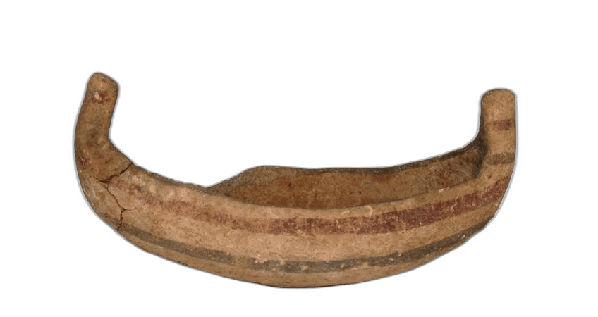 Bichrome Model ShipArchaic I · 750–500 BCBritish Museum
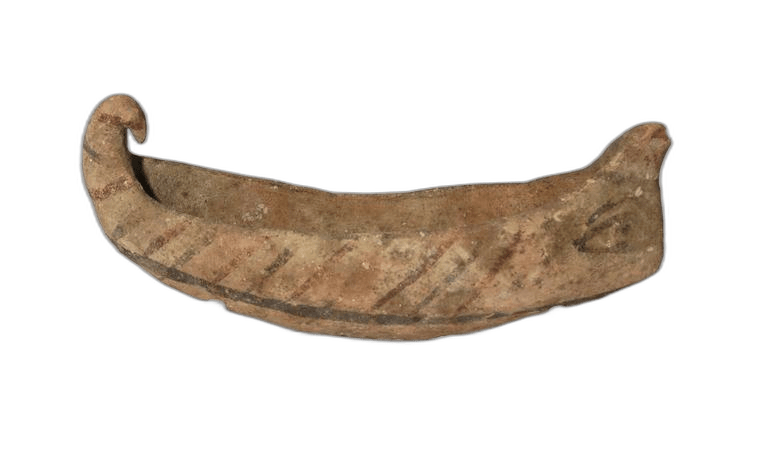 Terracotta War-Ship ModelArchaic II · 600–500 BCBritish Museum
The cemeteries
The cemeteries surround the city to the east, north and west. Since the 1970s tourist building along the coast has made them the object of constant rescue excavation by the Department of Antiquities [1, p. 168]. Tombs dug by Cesnola, the British Museum and the Swedish Cyprus Expedition before them supplied much of what museums outside Cyprus hold from Amathus [1, p. 170; 5; 6]. The tombs are the earliest evidence for the city. They show permanent settlement through the whole Geometric period [1, p. 170], and many of them are chamber tombs entered by a dromos, a sloping passage [2, p. 635], a form with a long history on the island (see Bronze Age chamber tombs).
 White Painted LekythosGeometric I · 1050–900 BCBritish Museum
 Bull-head SpoutGeometric I · 1050–900 BCBritish Museum
 Bichrome Duck VaseGeometric II · 900–750 BCBritish Museum
 Black-on-Red LekythosGeometric II · 900–700 BCBritish Museum
In 2009 the Department of Antiquities found two built tombs at Loures, about 1 km east of the acropolis. Their excavators describe them as the first and earliest known intact built tombs of the Iron Age in Cyprus. Tomb 964 was first used in early Cypro-Geometric II, about the middle of the 10th century BC, and again in late Cypro-Geometric III or early Cypro-Archaic I, about the middle of the 8th century BC; Tomb 967 was used in at least three phases, from Cypro-Geometric II to the beginning of Cypro-Archaic I, and most of its pottery belongs to the last of them, about 750–700 BC [7].
Later graves kept the city's mixed character. Painted grave stelae of the 3rd century BC, unknown at other Cypriot sites, point to a Macedonian presence after the harbour was built [1, p. 172]. The best-known single object from the cemeteries is Cesnola's limestone sarcophagus, now in New York. The museum dates it to the second quarter of the 5th century BC [11], and Hermary thought it almost certain that it was made for a king of Amathus who died about 480 BC [1, p. 176]. Among its reliefs are naked female figures of the Phoenician type also found among the figurines of the sanctuary [1, p. 186].
Language and kingship
Amathus is the main source of inscriptions in Eteocypriot, a language written in the Cypriot syllabary that is neither Greek nor Phoenician and has not been deciphered [2, p. 643]. One of the earliest is the one painted on the vessel with two bulls from the sanctuary [2, p. 643; 1, p. 185]. Eteocypriot was still used at Amathus at least until the time of Alexander [1, p. 170]. Two dedications of Androkles, the last king, are bilingual and in two scripts, Eteocypriot in the syllabary and Greek in the alphabet, which suggests that in the 4th century the kingdom began to use alphabetic Greek beside the old syllabary [2, p. 647]. The kingdom's coins, the earliest of them assigned to the middle of the 5th century BC, carry syllabic legends only [2, p. 646].
A later bilingual (ICS 196) was set up by "the city of the Amathusians" in honour of Ariston, son of Aristonax, whom the Greek text calls a eupatrides, a man of noble birth. The Eteocypriot text stands at the top; the Greek text below it is shorter [12, p. 38; 13]. Its date is debated: Stylianou places it late in the 4th century BC, and the fact that it names no king has been read as a sign that it belongs after the end of the kingdoms [13; 12, pp. 39–40]. See writing and literacy.
In the 4th century the kings bore Greek names, among them Zotimos, Lysandros, Epipalos and Androkles [2, p. 647]. Iacovou concludes that the Amathusians had learned to write in the Greek alphabet before the end of the 4th century, and not in the Phoenician one [2, p. 647]. Scholars have long debated how strong the Phoenician element was. Hermary stressed it; P. J. Stylianou answered that the Phoenician pottery comes almost entirely from tombs that also hold Greek vases, and that the city still saw itself as Eteocypriot at the end of the 4th century [13]. Whether Amathus appears among the Cypriot kingdoms listed by the Assyrian king Esarhaddon in 673/2 BC is also disputed [2, p. 643].
Ancient writers mention Amathus rarely [1, p. 170]. In 499–498 BC, during the Ionian revolt, it refused to join Onesilos of Salamis, who besieged it, and it was saved when the Persians defeated the Cypriots [1, p. 170; 14]. Herodotus adds that the Amathusians hung Onesilos's head over their gates, and that when bees filled it with honeycomb an oracle told them to bury it and honour him with yearly sacrifices [14]. At the beginning of the 4th century Amathus opposed Evagoras of Salamis. About sixty years later Androkles took Alexander's side, and afterwards made an alliance with Ptolemy I [1, p. 170].
The Hellenistic, Roman and Christian city
Under the Ptolemies Amathus seems to have declined, and the sanctuary shows it [1, p. 186]. A dedication of the time of Ptolemy VIII links the cult of Sarapis and Isis with that of Aphrodite, and many late Hellenistic figurines of Aphrodite, of Isis and of priestesses, dancers and musicians were found just north of the acropolis wall [1, pp. 186–187]. In the Roman period the city built its temple and its aqueduct (see above). At the end of the 4th century AD Saint Tychon fought the pagan cults [1, p. 170]. In the 7th century Saint John the Almoner, patriarch of Alexandria, came back to die in Amathus, his native city, and the monk Anastasios the Sinaite was also from Amathus [1, pp. 170, 191].
Probably after the Arab raids of the middle of the 7th century, the buildings on the summit were altered again. By the end of the century the church seems to have been abandoned or very little used, and the population moved to Limassol. Until the 20th century the acropolis was visited only by shepherds and hunters [1, pp. 170, 191].
Visiting Amathus
The site lies about 11 km east of the centre of Limassol and is managed by the Department of Antiquities. It is partly accessible by wheelchair [8]. Check the Department of Antiquities' current opening times and tickets before you go. Visitors can see the paved square, the baths and other buildings of the lower city near the road, and climb the acropolis to the remains of the temple of Aphrodite, the replica of the great vase and the Christian complex [8]. The harbour moles lie under water and can be seen from the shore.
Finds from the French excavations, including the Hathoric capitals, the seal impression and the figurines from the sanctuary, are in the Limassol District Archaeological Museum [1, pp. 179–187]. The great vase is in the Louvre, the sarcophagus in the Metropolitan Museum, and many of the 1893–1894 tomb finds in the British Museum.
Finds from Amathus
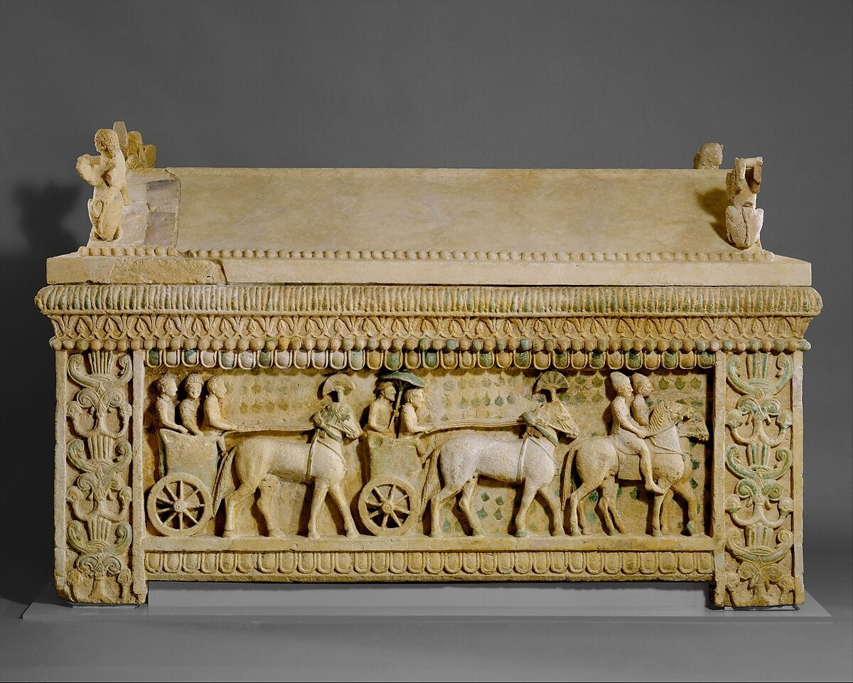 Limestone sarcophagus: the Amathus sarcophagusClassical · 475–450 BCMetropolitan Museum of Art
- White Painted LekythosGeometric I · 1050–900 BCBritish Museum
- Bull-head SpoutGeometric I · 1050–900 BCBritish Museum
- Bichrome Duck VaseGeometric II · 900–750 BCBritish Museum
- Black-on-Red LekythosGeometric II · 900–700 BCBritish Museum
 Naue II Iron SwordArchaic I · 750–600 BCBritish Museum
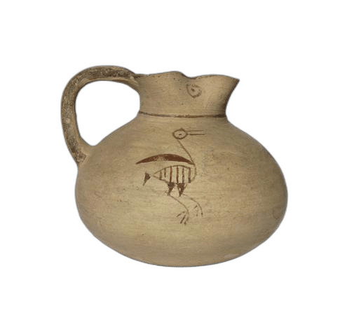 Bichrome Figural OinochoeArchaic I · 750–600 BCBritish Museum
- Bichrome Model ShipArchaic I · 750–500 BCBritish Museum
 Bichrome Merchant Ship ModelArchaic I · 750–500 BCBritish Museum
- Terracotta War-Ship ModelArchaic II · 600–500 BCBritish Museum
 Terracotta Horseman FigureArchaic · 750–475 BCBritish Museum
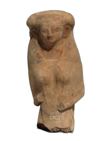 "Dea Gravida Terracotta Figure"Archaic II · 600–500 BCBritish Museum
and 4 more objects with a findspot here in the catalogue
In the Drakopoulos collection
Pieces in the Drakopoulos collection of kinds found at this site. None of them comes from the site.
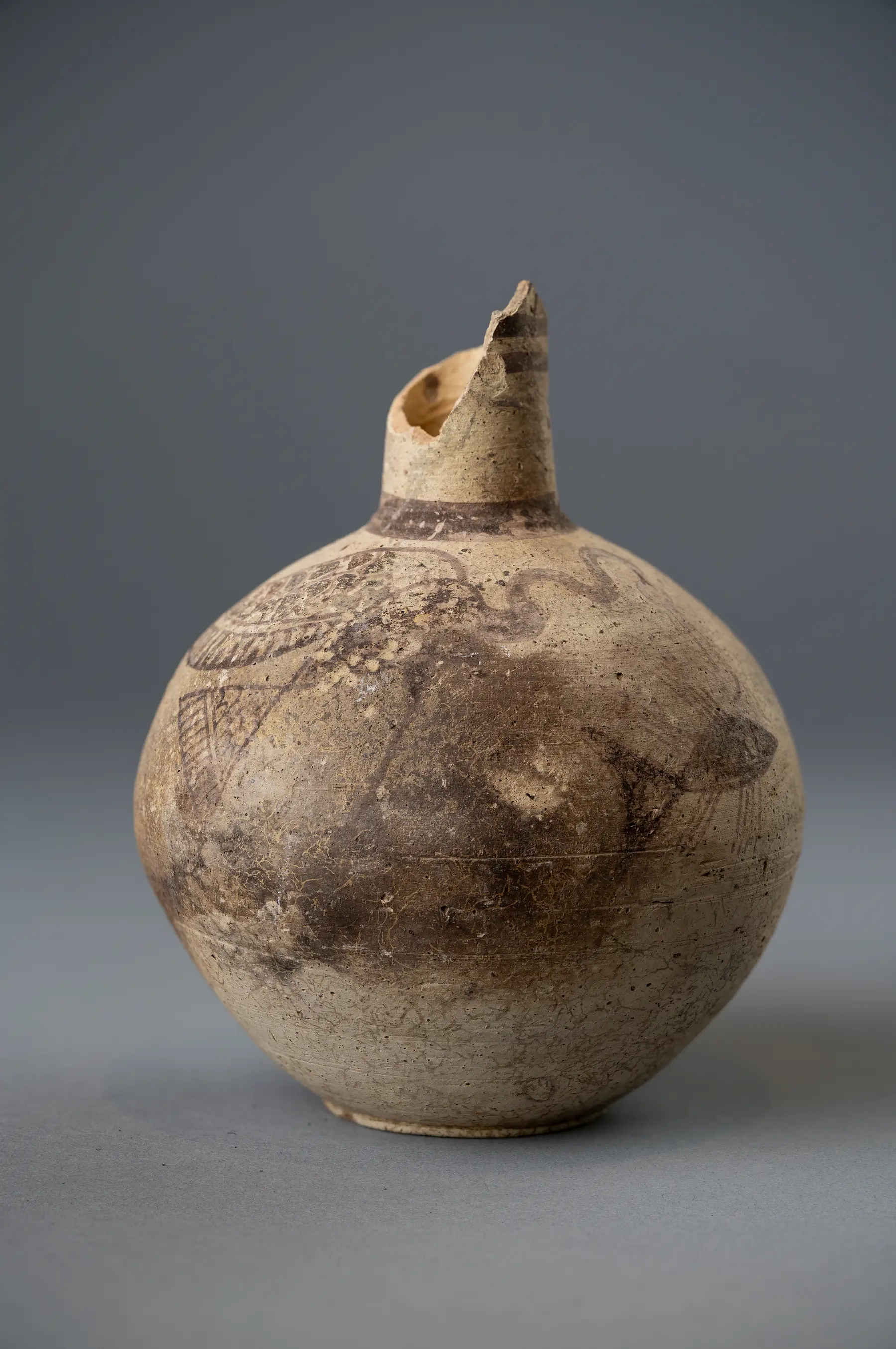 Bichrome IV Jug with a Waterfowl Catching a FishArchaic I · 750–600 BC
 Black-on-Red Globular Trefoil Jug with Concentric CirclesGeometric III · 850–600 BC
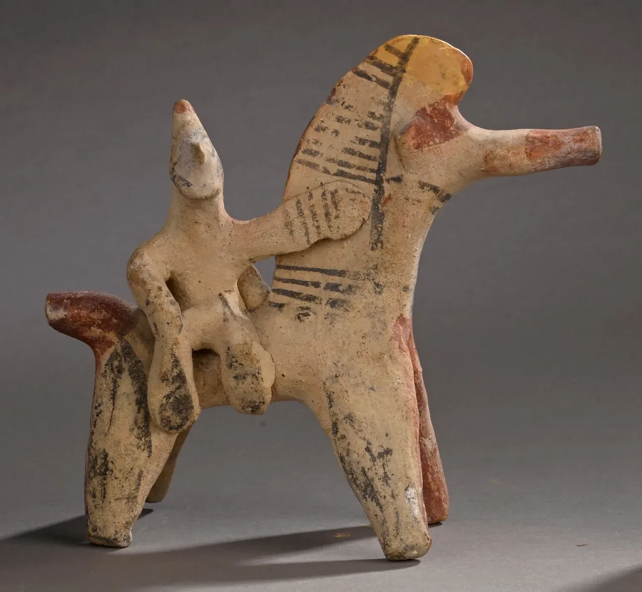 Handmade Horse and Rider with a High Painted CrestArchaic I · 750–600 BC
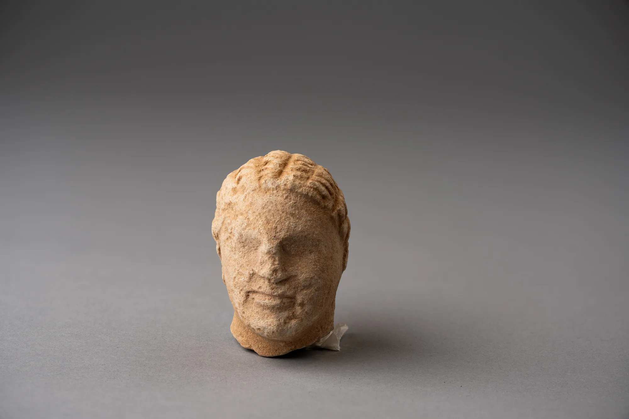 Limestone Head of a Boy, probably from a Temple Boy StatuetteClassical · 450–300 BC
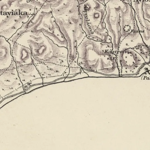
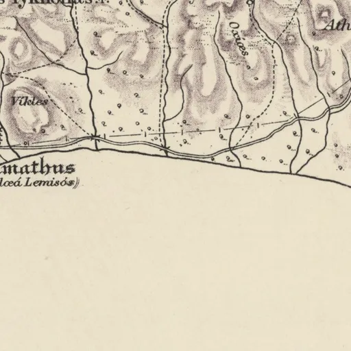
On Kitchener's map (1882)
Amathus (Palœá Lemisós) · Ancient name
Also on the map
- Áyios Týkhonas · Christian village
Excavation history
- 1874–1876Cesnola's tomb clearanceDirected by Luigi Palma di CesnolaClearance and early digging
- 1885Ohnefalsch-Richter's excavation of four tombsDirected by Max Ohnefalsch-RichterExcavation
- 1890Dörpfeld's find of a Hathor capital on the acropolis slope (1890)Directed by Wilhelm Dörpfeld and Max Ohnefalsch-RichterExcavation
- 1893–1894The British Museum (Turner Bequest) excavationDirected by Arthur Hamilton Smith and John Linton MyresExcavation
- 1930The Swedish Cyprus Expedition necropolis surveyDirected by Alfred Westholm and Einar Nilson GjerstadExcavation
- 1959–1979Department of Antiquities necropolis and town rescue, 1959–1979Rescue excavation
- 1960–1961Department excavations on the acropolis slope and the Early Christian basilica, 1960–1961Directed by Kyriakos NicolaouExcavation
- 1965–1966Department clearance of the small basilica, 1965–1966Directed by Athanasios PapageorghiouExcavation
Show all 19 projects
- 1972–1990Department excavations of the lower city, agora and east necropolis (Loulloupis)Directed by Michael LoulloupisExcavation
- 1975–todayThe French School at Athens missionDirected by Pierre Aupert, Antoine Hermary, Jean-Yves Empereur and othersExcavation
- 1980–1986Department necropolis rescue and east necropolis excavation, 1980–1986 (Ino Nicolaou)Directed by Ino (Ioanna) NicolaouRescue excavation
- 1980–1981Department secondary excavations in the west necropolis and at Ayios Tychonas, 1980–1981Directed by Demos ChristouRescue excavation
- 1988–2005Department and Limassol Museum necropolis rescues, 1988–2005Directed by Eleni ProcopiouRescue excavation
- 1988–1992Survey of the territory of the kingdom, 1988–1992Directed by Catherine PetitSurvey
- 1991–2006Department excavation of the lower town (Palea Lemesos), 1991–2006Directed by Pavlos FlourentzosExcavation
- 1991–1997Department excavations of the Early Christian basilica and the church of Ayios Tychonas (Procopiou)Directed by Eleni ProcopiouExcavation
- 2008Department rescue excavation in the east necropolis, 2008Rescue excavation
- 2012Amathus-Loures: Department of Antiquities tombs, 2012Rescue excavation
- 2022Amathus harbour: the Aix-Marseille and University of Cyprus underwater surveyDirected by J. GattUnderwater work
In the Archive
940 photographs (870 of objects, 68 in the field, 2 other) and 4 paintings. A selection is shown here.
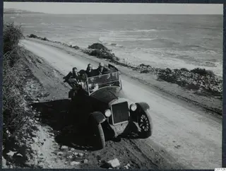 C01126Excursion to Limassol, with a stop at Amathus
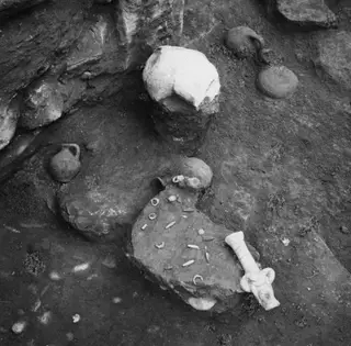 C02284Tomb 11 at Amathus, finds in situ
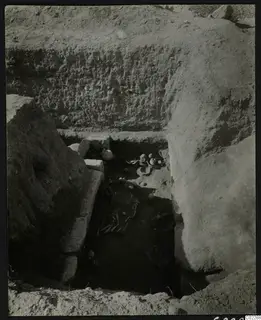 C02288Tomb 11 at Amathus, find in situ
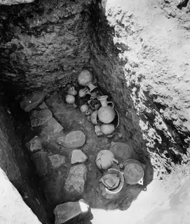 C02289Tomb 19 at Amathus, finds in situ
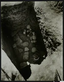 C02290Tomb 19 at Amathus, finds in situ
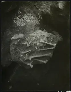 C02293Tomb 21 at Amathus, beads and bones in situ
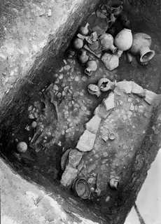 C02295Tomb 22 at Amathus, finds in situ
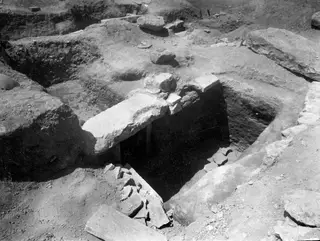 C02297Amathus: entrance to Tomb 18 after the excavation
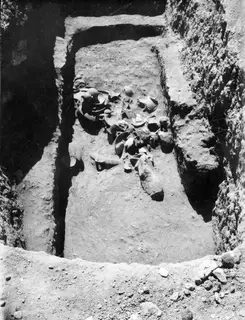 C02299Tomb 5 at Amathus, pottery in the dromos, in situ
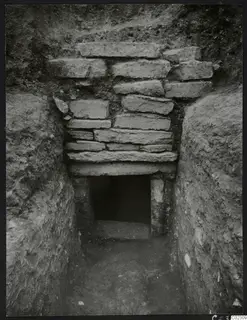 C02309Tomb 24 at Amathus, dromos with opened gate
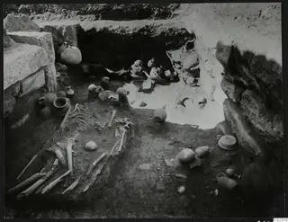 C02310Tomb 11 at Amathus, find layer from the north
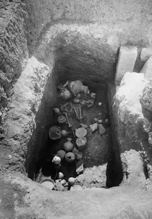 C02311Tomb 23 at Amathus, floor stratum in situ
Photographs: Swedish Cyprus Expedition, Medelhavsmuseet, Stockholm (CC0)
Reconstruction
Nearby sites
- Amathous-Vikles0.7 km
- Ayios Tychonas-Doxamenes1.5 km
- Ayios Tychonas-Klimonas2.0 km
- Kyparissos2.3 km
- Koloka2.5 km
- Nyktiridhospilios3.0 km
Straight-line distances.
Mentioned in
670 mentionsDocuments · 178
- Field diary D II:2 E: Ajios Fokas 1929; Ajios Akoufos; Kition; Amathus
1929 · pp. 135, 137, 139
graves 1 to 8 recorded in this part of the diary
Alfred Westholm, 1929, Field diary D II:2 E: Ajios Fokas 1929; Kition & Amathus, p. 135
- Field diary D II:2 F: Amathus 1930, tomb inventory (T. 13-20)
1930 · p. 72
site of the 1930 grave finds recorded
Westholm 1930, p. 72
- Field diary D II:2 G: Amathus 1930, tomb inventory and levels; figures
1930 · p. 22
site of graves 22, 24 and 25 in the diary
Alfred Westholm, 1930, Field diary D II:2 G: Amathus 1930, tomb inventory and levels; figures, in Medelhavsmuseet, Stockholm, p. 22
- Chronique des fouilles et découvertes archéologiques à Chypre en 1989
1990 · pp. 948, 970
tomb, harbour and agora sites worked by French and Department of Antiquities teams
Papageorghiou 1989, p. 948
- Chronique des fouilles et découvertes archéologiques à Chypre en 1994
1995 · pp. 804, 833, 834
necropolis, lower town, basilica and sanctuary of Aphrodite
Christou 1994, p. 804
- Core-formed Glass Vessels on Cyprus Reconsidered
2010 · pp. 234, 242
main concentration of vessels, tombs and proposed workshop
Cosyns & Nys 2007, p. 234
Lectures and videos · 51
- 2nd Annual ARU Study Day: Cypriot Bronzes, Copper at Kition, the Vouni Hoard, and Maritime Outreach
2017
Papasavvas et al. 2017
- Alassa 17 years later: A retrospective
2017
Hadjisavvas 2017
- Study Day on Book 23 of the Iliad: Cremation Burials and Homeric Heirlooms in Cyprus
2017
Karageorghis et al. 2017
- Study Day on Book 23 of the Iliad: Dramatic Form, Cypriot Burial Customs, and the Ghost of Patroclus
Probably · 2017 · 1:04:52
Royal necropolis; horse sacrifice in tomb 79 and a horse in tomb 2 killed by stones on its neck
Karageorghis et al. 2017
- The Archaeological Work of the University of Cyprus, 2016 (Part 1)
2017
Kassianidou et al. 2017
- Under the Mediterranean: Harbours at Amathus, Dreamer's Bay and Paphos, and the Carob and Copper Trades
2017 · 0:14:00; 0:00:00; 0:12:00
Constructed by Demetrios Poliorketes in 305 BC as a military harbour and abandoned when Ptolemy took the island in 295 BC
Empereur et al. 2017
Tomb records · 376
- Amathus, BM Tomb 1
1893
Cypro-Geometric – Cypro-Classical
Myres & Ohnefalsch-Richter 1899
- Amathus, BM Tomb 10
1893
Murray et al. 1900
- Amathus, BM Tomb 100
1893
Myres & Ohnefalsch-Richter 1899
- Amathus, BM Tomb 101
1893
Rock cut chamber
Murray et al. 1900
- Amathus, BM Tomb 103
1893
Built tomb
Murray et al. 1900
- Amathus, BM Tomb 104
1893
Rock cut chamber
Murray et al. 1900
Institutions · 17
- Deutsches Archäologisches Institut, Abteilung Athen
Photographs of it · 1890
Capital fragment with fragmentary head, above it a nude male figure between two winged horses - Amathus, citadel - Cyprus - Amathus - Limestone?…
Deutsches Archäologisches Institut, Fotothek 1890
- Deutsches Archäologisches Institut, Abteilung Istanbul
Photographs of it · 1964
Statue of Bes right side head a S - Findspot: Amathus/Cyprus - Country: - Place: Ist.Arch.Mus. - Museum number: 3317 T
Deutsches Archäologisches Institut, Fotothek 1994; Deutsches Archäologisches Institut, Fotothek 1964; Deutsches Archäologisches Institut, Fotothek 1970
- Cyprus Broadcasting Corporation
Films of it · 1975
ΑΝΑΣΚΑΦΕΣ ΣΤΗΝ ΚΥΠΡΟ - EXCAVATIONS IN CYPRUS - 1975
Cyprus Broadcasting Corporation, film, 1975
- Antikensammlung, Staatliche Museen zu Berlin
Objects from it in the collection
3 object records giving it as the find-place
Antikensammlung, Staatliche Museen zu Berlin, collection online
- Ashmolean Museum of Art and Archaeology
Objects from it in the collection
193 object records giving it as the find-place
Ashmolean Museum of Art and Archaeology, collection online
- British Museum
Objects from it in the collection
1354 object records giving it as the find-place
British Museum, collection online
Monuments · 8
- Acropolis basilica
Monument on the site
Antoine Hermary, «Rapport sur les travaux de l'École française d'Athènes à Amathonte de Chypre en 1984», 1985, p. 969
- Agora
Monument on the site
Jean-Paul Prête, «Amathonte», 2003, p. 530
- Early Christian basilica near St Barbara
Monument on the site
Vassos Karageorghis, «Chronique des fouilles et découvertes archéologiques à Chypre en 1975», 1976, p. 891; BCH 100 (1976), Chronique, p. 888; BCH 101 (1977), Chronique, p. 765
- Fortifications
Monument on the site
Anne Queyrel, «Rapport sur les travaux de la mission de l'École française et du Ministère des Relations Extérieures à Amathonte en 1982», 1983, p. 955
- Harbour
Monument on the site
Anne Queyrel, «Rapport sur les travaux de la mission de l'École française et du Ministère des Relations Extérieures à Amathonte en 1982», 1983, p. 967
- Palace
Monument on the site
Louise Steel, «Archaeology in Cyprus 1987-1997», 1998, p. 139
Press releases 1962–74 · 8
- Αι ανασκαφαί εις Αμαθούντα (1965-11-18)
1965
The Department of Antiquities completed the first excavation season at Amathounta, directed by Ephor of Ancient Monuments Athanasios Papageorgiou, on the site…
Press and Information Office, Republic of Cyprus, press release of 1965-11-18
- Η αρχαιολογική δραστηριότης εν Κύπρω (1965-12-02)
1965
The Department of Antiquities excavated at Salamis, Kition, Kato Paphos, Aigialousa, Amathounta and Kourion, producing significant finds for the museums.
Press and Information Office, Republic of Cyprus, press release of 1965-12-02
- Ανασκαφαί Παλαιοχριστιανικής Βασιλικής εις Αμαθούντα (1966-08-20)
1966
Two-month excavation season at ancient Amathus, directed by A. Papageorgiou, exposed the full nave and narthex of a small early Christian basilica.
Press and Information Office, Republic of Cyprus, press release of 1966-08-20
- Ετήσια έκθεσις του Τμήματος Αρχαιοτήτων διά το 1965 (1966-04-29)
1966
The Department of Antiquities excavated at Salamis (inside the city and in the necropolis), Kato Paphos, Kition, Aligalousa and Amathous in 1965.
Press and Information Office, Republic of Cyprus, press release of 1966-04-29
- Speech by the Minister of Communications and Works Mr. Titos Phanos at the inauguration of the new district museum at Larnaca on Sunday 26th January at 11.30 a.m. (1969-01-26)
1969
The Antiquities Department carried out large-scale excavations to uncover ancient remains, mainly at Salamis, Kition, Paphos, Kourion and Amathus.
Press and Information Office, Republic of Cyprus, press release of 1969-01-26
- Ήρχισαν Αρχαιολογικαί ανασκαγαί εις Αμαθούντα // Ο Έπαρχος Αμμοχώστου προειδοποιεί τους κυνηγούς (1972-05-06)
1972
The Department of Antiquities began archaeological excavations at the ancient city of Amathous near Limassol under archaeological officer M. Loulloupis, to…
Press and Information Office, Republic of Cyprus, press release of 1972-05-06
News · 14
- 48 carved stones near Kourion may come from an unknown Roman temple, study argues
2026
- At least 40 roof tiles lay in rows under fallen stone on the Amathus acropolis, report shows
2026
- British Museum curator to speak on Grigoris Antoniou, foreman of 1880s digs in Cyprus, in London
2026
- CAARI offers three graduate fellowships of up to US$3,500 for research stays in Nicosia
2026
- Children painted some 'crude' Bronze Age pots at Kalopsidha, new book on Cypriot ceramics argues
2026
- Excavations · 18listed under Excavation history
- Archivelisted under In the Archive
References
- 1.Hermary, A. (1993). Les fouilles françaises d'Amathonte / The French excavations at Amathus. In M. Yon (Ed.), Kinyras: l'archéologie française à Chypre. Table-ronde tenue à Lyon, 5-6 novembre 1991 (Travaux de la Maison de l'Orient 22), 167–193. Maison de l'Orient et de la Méditerranée. https://www.persee.fr/doc/mom_0766-0510_1993_act_22_1_1798
- 2.Iacovou, M. (2008). Cultural and political configurations in Iron Age Cyprus: The sequel to a protohistoric episode. American Journal of Archaeology, 112(4), 625–657. https://doi.org/10.3764/aja.112.4.625
- 3.Caubet, A., Hermary, A., & Karageorghis, V. (1992). Art antique de Chypre au Musée du Louvre: du Chalcolithique à l'époque romaine. Éditions Kapon; Réunion des Musées Nationaux; Fondation A. G. Leventis. Cat. no. 161: the vase of Amathus, AO 22897.
- 4.Masson, O. (1990). Cesnola à Amathonte, 1874-1875. Cahiers du Centre d'Études Chypriotes, 13, 15–18.
- 5.Murray, A. S., Smith, A. H., & Walters, H. B. (1900). Excavations in Cyprus: Bequest of Miss E. T. Turner to the British Museum. Trustees of the British Museum.
- 6.Gjerstad, E., Lindros, J., Sjöqvist, E., & Westholm, A. (1935). The Swedish Cyprus Expedition: Finds and Results of the Excavations in Cyprus 1927-1931, Vol. II (text). The Swedish Cyprus Expedition.
- 7.Stefani, E., & Violaris, Y. (2018). New evidence on the early history of the city-kingdom of Amathous: built tombs of the Geometric period at the site of Amathous-Loures. In A. Cannavò & L. Thély (Eds.), Les royaumes de Chypre à l'épreuve de l'histoire. Transitions et ruptures de la fin de l'âge du bronze au début de l'époque hellénistique (BCH Supplément 60), 67–85. École française d'Athènes. https://books.openedition.org/efa/2946
- 8.Cyprus Deputy Ministry of Tourism. (n.d.). Amathous archaeological site. Visit Cyprus. https://www.visitcyprus.com/discover-cyprus/culture/sites-and-monuments/amathous-archaeological-site/
- 9.Empereur, J.-Y., & Kożelj, T. (Eds.). (2017). The Hellenistic Harbour of Amathus: Underwater Excavations, 1984-1986. Volume 1: Architecture and History (Études chypriotes 19). École française d'Athènes.
- 10.Demesticha, S. (2021). "In every harbor there is a longing": The enigmatic history of the harbor of Amathus, Cyprus. Journal of Roman Archaeology, 34, 433–440. https://doi.org/10.1017/S1047759421000313
- 11.The Metropolitan Museum of Art, New York. Limestone sarcophagus: the Amathus sarcophagus, inv. 74.51.2453 (The Cesnola Collection). https://www.metmuseum.org/art/collection/search/242006
- 12.Pestarino, B. (2022). Kypriōn Politeia: the Political and Administrative Systems of the Classical Cypriot City-Kingdoms (Mnemosyne Supplements). Brill.
- 13.Stylianou, P. J. (1989). The Age of the Kingdoms: A political history of Cyprus in the Archaic and Classical periods. Meletai kai Hypomnemata, 2. Archbishop Makarios III Foundation.
- 14.Herodotus, Histories 5.104 (Amathus refuses to join Onesilos and is besieged) and 5.114 (the head of Onesilos).
Corrections and additions
Do you know this site?
Help us keep this page right: recent work, the site as it is now, and what we may have missed.
We would like to hear about
- Recent fieldwork or publications
- A wrong location or name
- Access, opening times or the site's state today
- Photographs we may use
Tell us if you would like to be thanked by name on the page.