
Conference paper·Archaeological Research Unit - University of Cyprus·2019
A Conference in Honour of A. Bernard Knapp: Bronze Age Anchorages at Maroni-Tsaroukkas and Tell Abu Hawam, and the Late Roman Maritime Landscape
Kerry Fulton, Michal Artzy and Stella Demesticha
Chapters
About the video
This afternoon maritime session of the conference at the University of Cyprus in honour of A. Bernard Knapp, chaired by Sturt Manning, brings together three papers on ancient anchorages, seafaring and maritime networks in Cyprus and the eastern Mediterranean.
Kerry Fulton presents preliminary results from the renewed underwater survey of the anchorage off Maroni-Tsaroukkas, revisiting an area first surveyed in the 1990s. Over two seasons her team recorded 27 stone anchors, six architectural blocks and more than 200 ceramic sherds across 32 quadrants. One western quadrant yielded over a hundred sherds, including Canaanite jars, Plain White Handmade storage jars, White Slip, Black Slip and Red-on-Black ware, alongside the base of an imported Tell el-Yahudiyeh ware juglet found beneath a storage jar. Fulton notes that on Cyprus Tell el-Yahudiyeh ware occurs mainly in tombs at sites such as Enkomi, making its presence on the seabed rare evidence of active trade at the transition to the Late Bronze Age. She also examines five unfinished stone anchors on the seabed, weighing whether stone blanks were carried aboard to be carved at sea or worked at a terrestrial site now submerged, and answers questions on the architectural blocks and coastal routes.
Michal Artzy examines the cooking wares from her 2001 salvage excavation of the Late Bronze II anchorage at Tell Abu Hawam in Haifa Bay, active until c. 1230 BC. The anchorage layers contained ballast stones from the Carmel ridge, the Syro-Lebanese coast, Cilicia and Cyprus, Nile perch bones, a jar handle stamped with the cartouche of Ramesses II, Mycenaean and Anatolian wares, and hundreds of Cypriot White Slip II and Base Ring II bowls and pithoi. Alongside nearly 400 Canaanite cooking pots, Artzy identifies 65 sherds of non-local cooking vessels. Following comparisons suggested by David Sewell and Alison South, she connects their soft, crumbly fabric and shapes to Late Cypriot IIC cooking pots from Maroni-Tsaroukkas, Kalavasos-Ayios Dhimitrios and Enkomi. Reviewing neutron activation analysis from Bonn and domestic vessels from Ugarit published by Jean-Yves Monchambert, she argues that Cypriot mariners carried their own cooking pots across a shared maritime sphere.
Stella Demesticha contrasts the absence of fishing villages in modern rural Cyprus with the coastal engagement of the Late Roman period (4th to 7th centuries AD). Drawing on a database of coastal and underwater sites and on ancient geographers, she surveys the four seas around Cyprus, their wind regimes, sailing times and 17 recorded natural anchorages. While urban harbours such as Salamis-Constantia, Kition, Amathus, Kourion and Paphos remain unexcavated or silted, small coves and eroded anchorages along the south and west coasts, including Cape Kiti, Cape Petounda, Maroni-Vrysoudhia and Cape Drepanon, show strong Late Roman activity, which Demesticha links to wine exported in locally produced Late Roman 1 amphorae.
From our collection
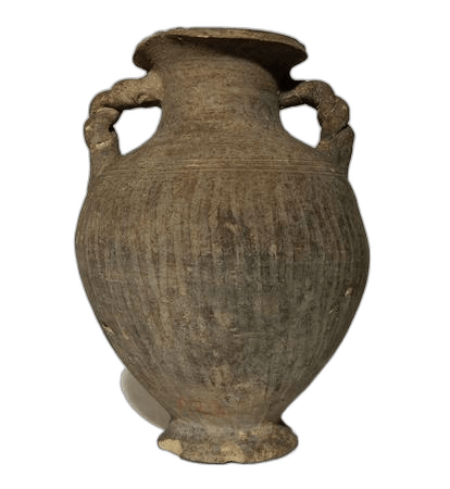
Pieces in the Drakopoulos collection of the kinds and periods this talk covers: White Slip ware, Black Slip ware (Bronze Age), Base Ring ware, Jar.
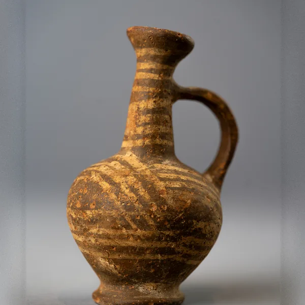
Base Ring II Bilbil Juglet with White-Painted Bands
Base Ring ware
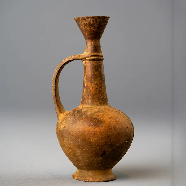
Base Ring Bilbil Juglet with Funnel Mouth and Neck Ridge
Base Ring ware
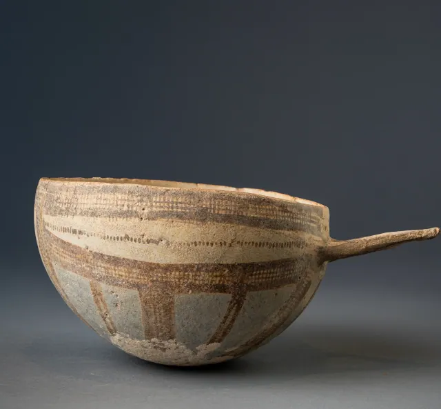
White Slip II Hemispherical Bowl with Wishbone Handle
White Slip ware
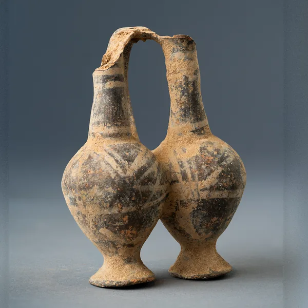
Base Ring II Double Juglet with White-Painted Decoration
Base Ring ware
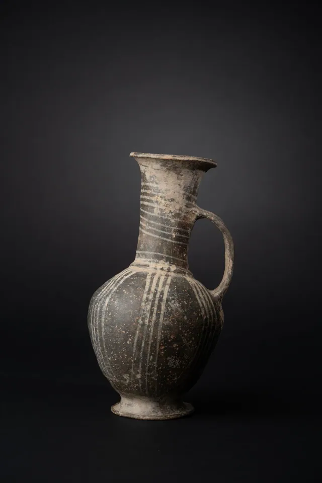
Base Ring II Jug with White-Painted Lattice Bands
Base Ring ware
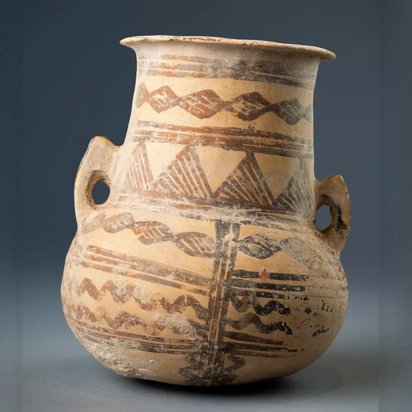
White Painted III-IV Amphora with Lozenge Chains and Hatched Triangles
Jar
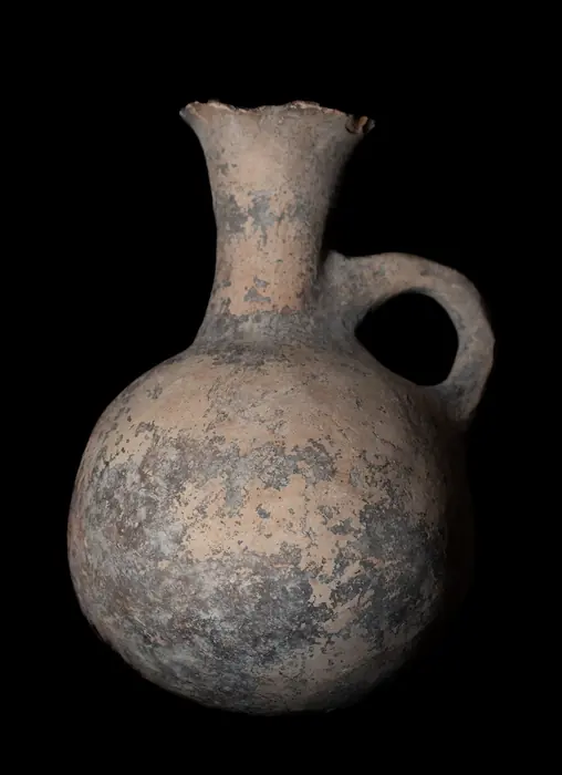
Jug with Flaring Neck, probably Black Slip Ware
Black Slip ware (Bronze Age)
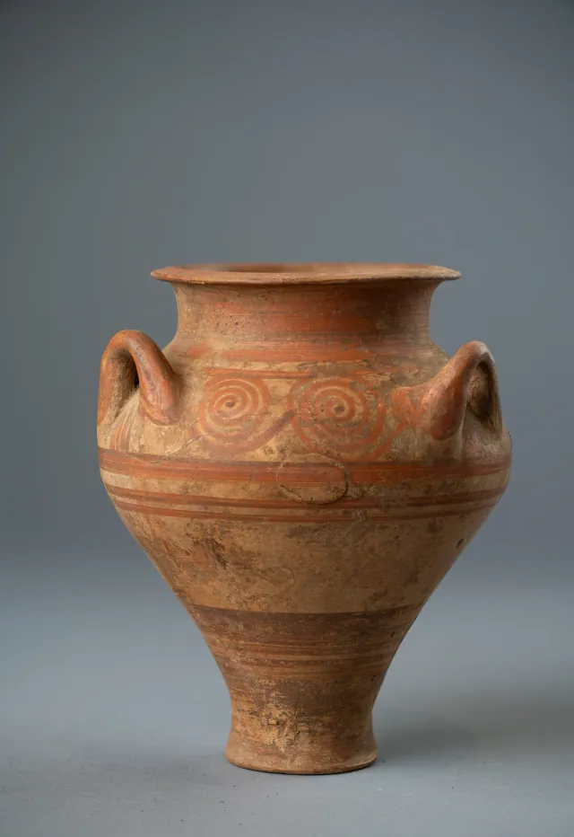
Cypriot Three-Handled Jar in the Mycenaean Style with Running Spirals
Jar
Found at the places discussed
Objects in our catalogue, in museum collections, recorded as found at these sites.



Background
Where to read more on this site before or after watching.
The site
Enkomi
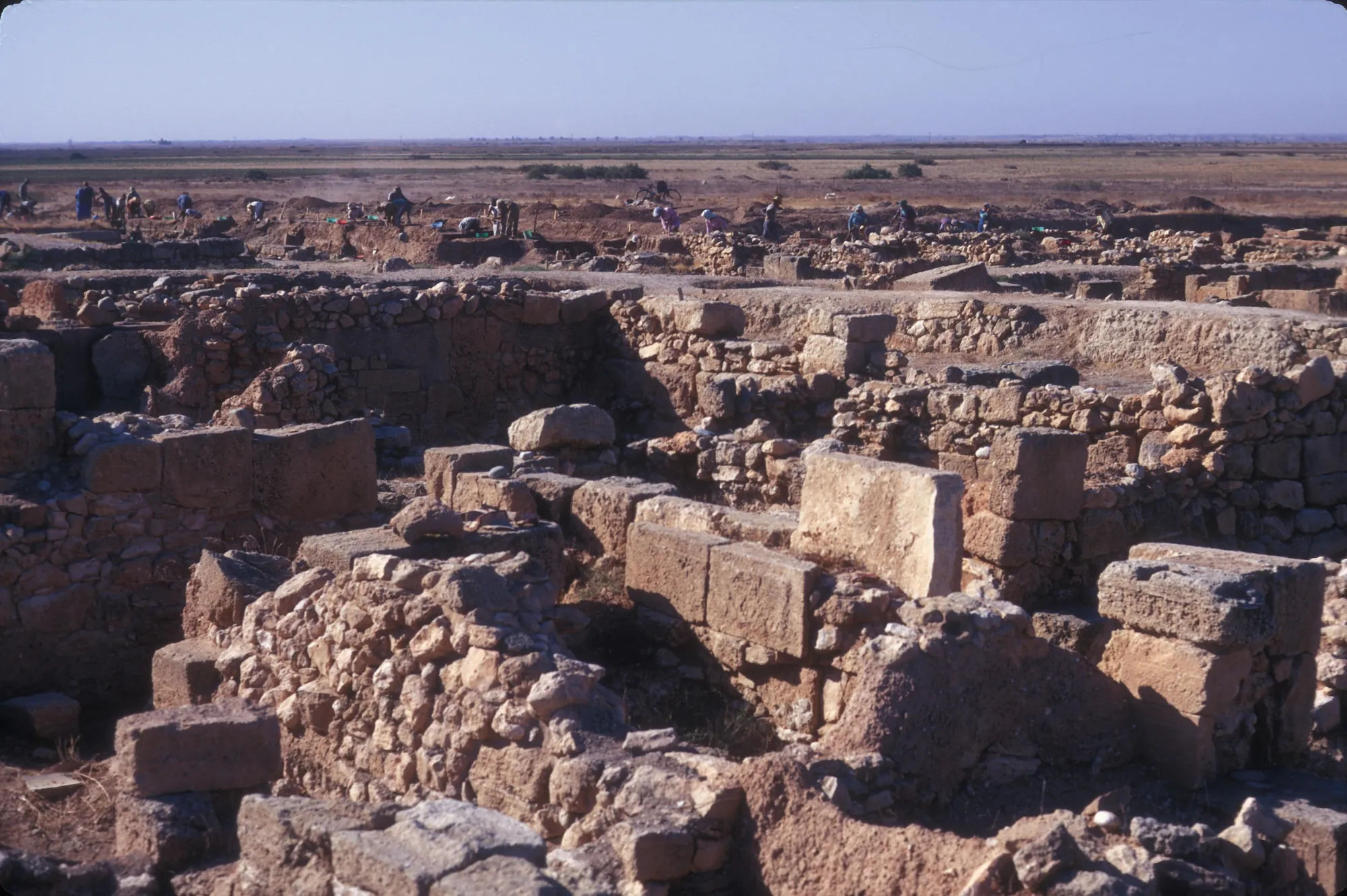
Enkomi is a walled Late Bronze Age town near the mouth of the Pedieos river on the bay of Famagusta, lived in from about 1650 BC until it was gradually abandoned for nearby Salamis. It was a port for Cypriot copper, and its excavations produced metal workshops, sanctuaries with bronze cult statues, rich tombs and the largest group of Cypro-Minoan inscriptions on the island.
In the compendium
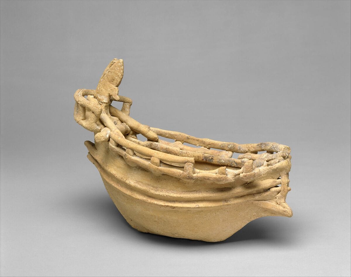
Seafaring and Ships in Ancient Cyprus
The evidence for boats and seafaring around Cyprus from the first crossings to the Classical period, from anchors, models and graffiti to wrecks and shipsheds.

In the compendium
Plain White Ware
The undecorated, pale-surfaced pottery of Middle and Late Bronze Age Cyprus, made by hand and later wheel-shaped, the first Cypriot ware formed with the wheel.
In the compendium
White Slip Ware
The hand-made Late Bronze Age tableware with a thick white slip and dark painted decoration, mostly hemispherical bowls, widely exported from Cyprus.
Map of Cyprus
Places discussed in the talk
- Has a page on this site
- Other places
- Ground above 200, 500, 1,000 m