
Conference paper·Archaeological Research Unit - University of Cyprus·2018·In Greek
The Archaeological Work of the University of Cyprus, 2017: Xeros Valley survey, Skouriotissa mines, Nissia shipwreck and iMARECULTURE
ΤΟ ΑΡΧΑΙΟΛΟΓΙΚΟ ΕΡΓΟ ΤΟΥ ΠΑΝΕΠΙΣΤΗΜΙΟΥ ΚΥΠΡΟΥ, 2017
Athanasios Vionis, Vasiliki Kassianidou, Stella Demesticha, Dimitra Perissiou and Massimiliano Secci
Chapters
About the video
This session in Greek from the annual review of the University of Cyprus presents four papers on fieldwork and research carried out in 2017.
Athanasios Vionis reports on the fourth season of the Settled and Sacred Landscapes of Cyprus (SeSaLaC) surface survey in the Xeros river valley around Kofinou, Agios Theodoros, Alaminos and Menogeia. In July 2017 the team completed pedestrian transects across the 2,500-hectare study area and aerial photography for a digital elevation model. Vionis traces settlement from a Middle Chalcolithic site at Alaminos and Early to Middle Bronze Age occupation at Alaminos-Kambos to a 13-hectare settlement around the Byzantine church of Panagia at Kofinou. Pottery there studied by Anna Georgiadou points to workshops in the sphere of Amathus, raising the question of whether the kingdom's eastern boundary extended beyond the Pentaschinos river towards Stavrovouni during the Cypro-Archaic period. The 2017 season also located a 9-hectare Early Byzantine pottery workshop near the Xeros producing coarse wares, tiles, water pipes and pithoi, analysed with portable XRF by Andreas Charalambous.
Vasiliki Kassianidou presents a project on the Skouriotissa mine and the Solea region, using early twentieth-century archives to reconstruct ancient galleries and slag heaps destroyed by open-cast copper mining. She reviews Kitchener's map, an 1897 manuscript map from the archive of Andreas Kordellas donated by Olga Kakavogianni, and Cyprus Mines Corporation (CMC) records. Photographs and negatives from the families of CMC directors Charles Jackson, James Latimer Bruce and Dean Creveling show ancient wooden ladders, the Skouriotissa slag heaps, and two oxhide ingots photographed together in the Famagusta shop of George Basil Palma before going to Harvey Mudd College and the Cyprus Museum. Maps by former CMC geologist Oscar Kortan record vanished galleries, slag heaps and a necropolis, while a 1963 photograph of Apliki by Giorgos Chrysostomou shows pithos bases. Radiocarbon dating with Stuart Manning dated one Skouriotissa slag heap to the Hellenistic and Early Roman periods, and mining baskets and ropes in the Cyprus Museum to the Late Bronze Age (LC II and LC III/Early Iron Age) and Late Antiquity.
Stella Demesticha reports on the 2014 and 2017 seasons at the Nissia shipwreck off Paralimni (Protaras). At 27 metres depth and disturbed by looting since the 1980s, the wreck preserves frames, ceiling planking, keelson and mast step from a wooden vessel over 35 metres long. An iron cannon raised in 2014, Ottoman pipe fragments and incised tableware date the wreck to the first half of the nineteenth century; stacked firewood, pointed timbers and galley firebricks were also uncovered.
Dimitra Perissiou, with Massimiliano Secci and Demesticha, introduces the Horizon 2020 project iMARECULTURE, coordinated by the Cyprus University of Technology. It builds virtual reality dive visits for the Classical Mazotos wreck, Xlendi in Malta and Baiae in Italy, 3D libraries of amphorae and ships, a virtual underwater excavation training game, and a serious game on Classical and Hellenistic maritime trade. Demesticha closes with a video by Secci on the emergency 3D documentation of a traditional caique at Latchi.
From our collection
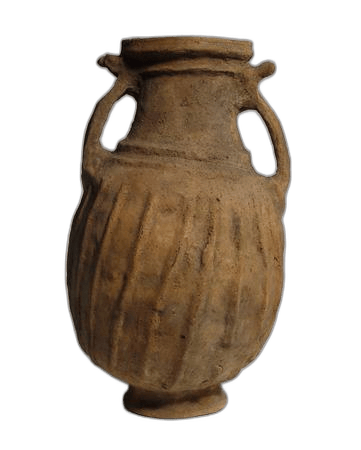
Pieces in the Drakopoulos collection of the kinds and periods this talk covers: Amphora.
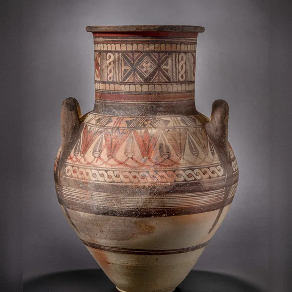
Bichrome IV Amphora with a Lotus-and-Bud Shoulder Frieze
Amphora
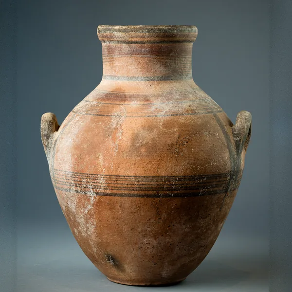
Bichrome IV Amphora with Shoulder Handles and Banded Decoration
Amphora
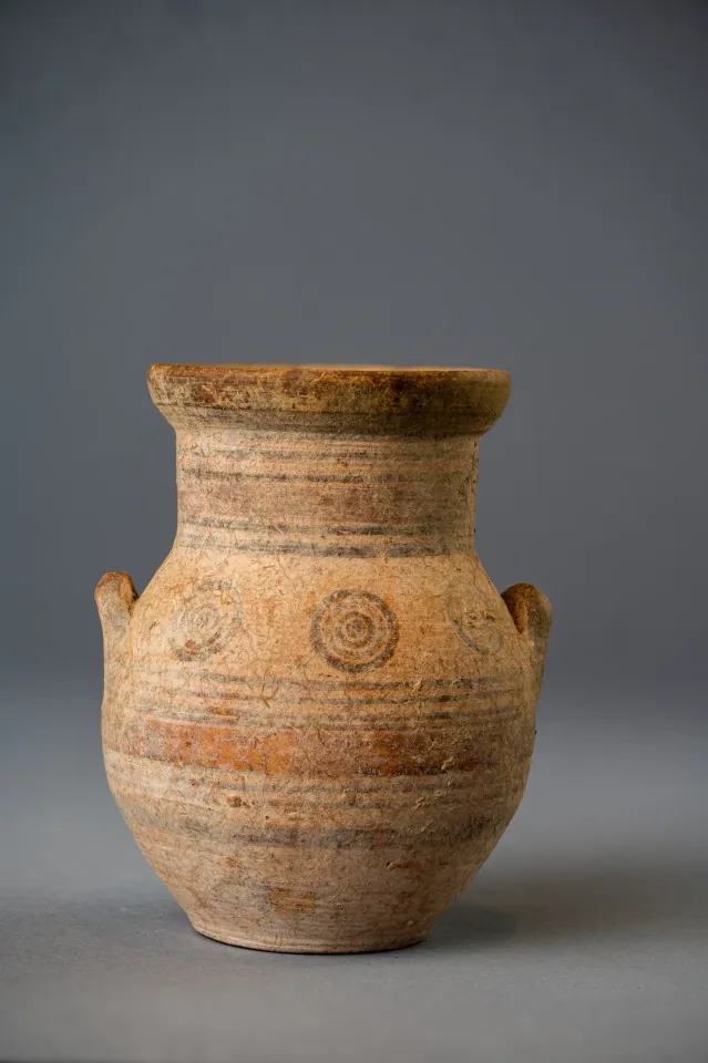
Bichrome IV Amphoriskos with Concentric Circles
Amphora
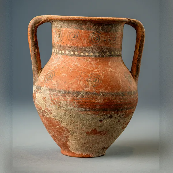
Bichrome Red Amphora with Concentric Circles and a Row of White Dots
Amphora
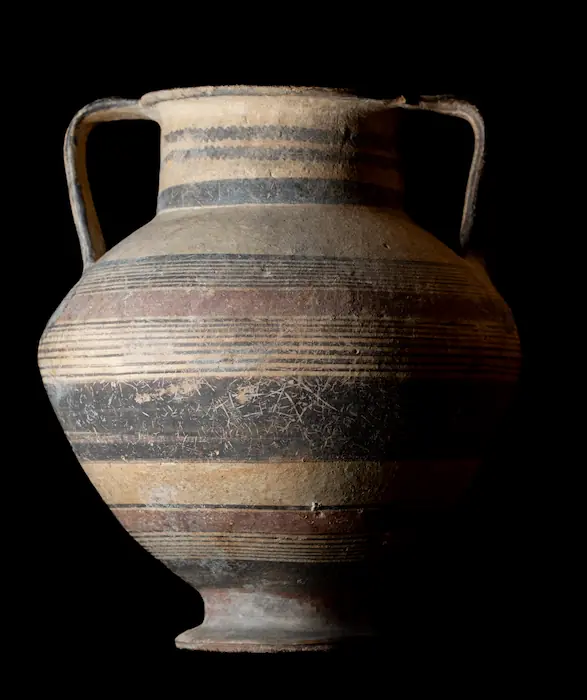
Bichrome Amphora on a Pedestal Foot with Wavy Lines on the Neck
Amphora
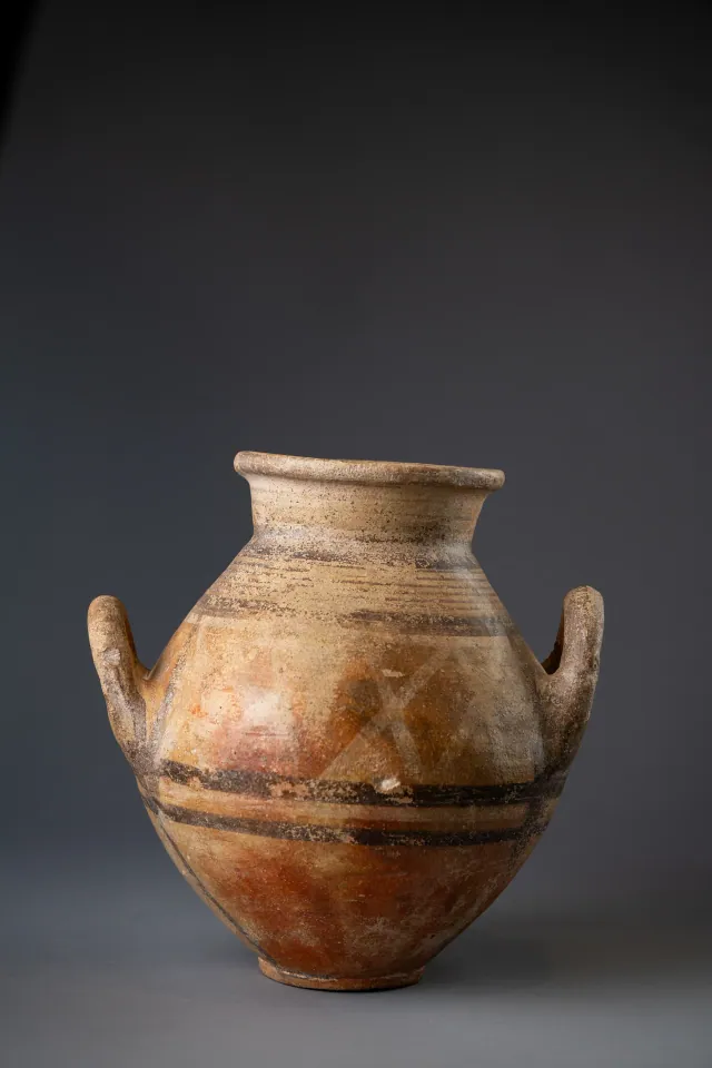
Red-Slipped Amphora with Pale Crosses on the Shoulder, probably Bichrome Red Ware
Amphora
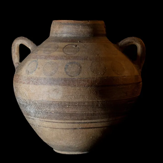
Globular Bichrome Amphora with Two Registers of Concentric Circles
Amphora
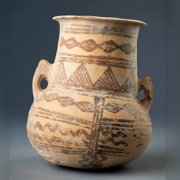
White Painted III-IV Amphora with Lozenge Chains and Hatched Triangles
Amphora
Found at the places discussed
Objects in our catalogue, in museum collections, recorded as found at these sites.


Background
Where to read more on this site before or after watching.
The site
Amathus
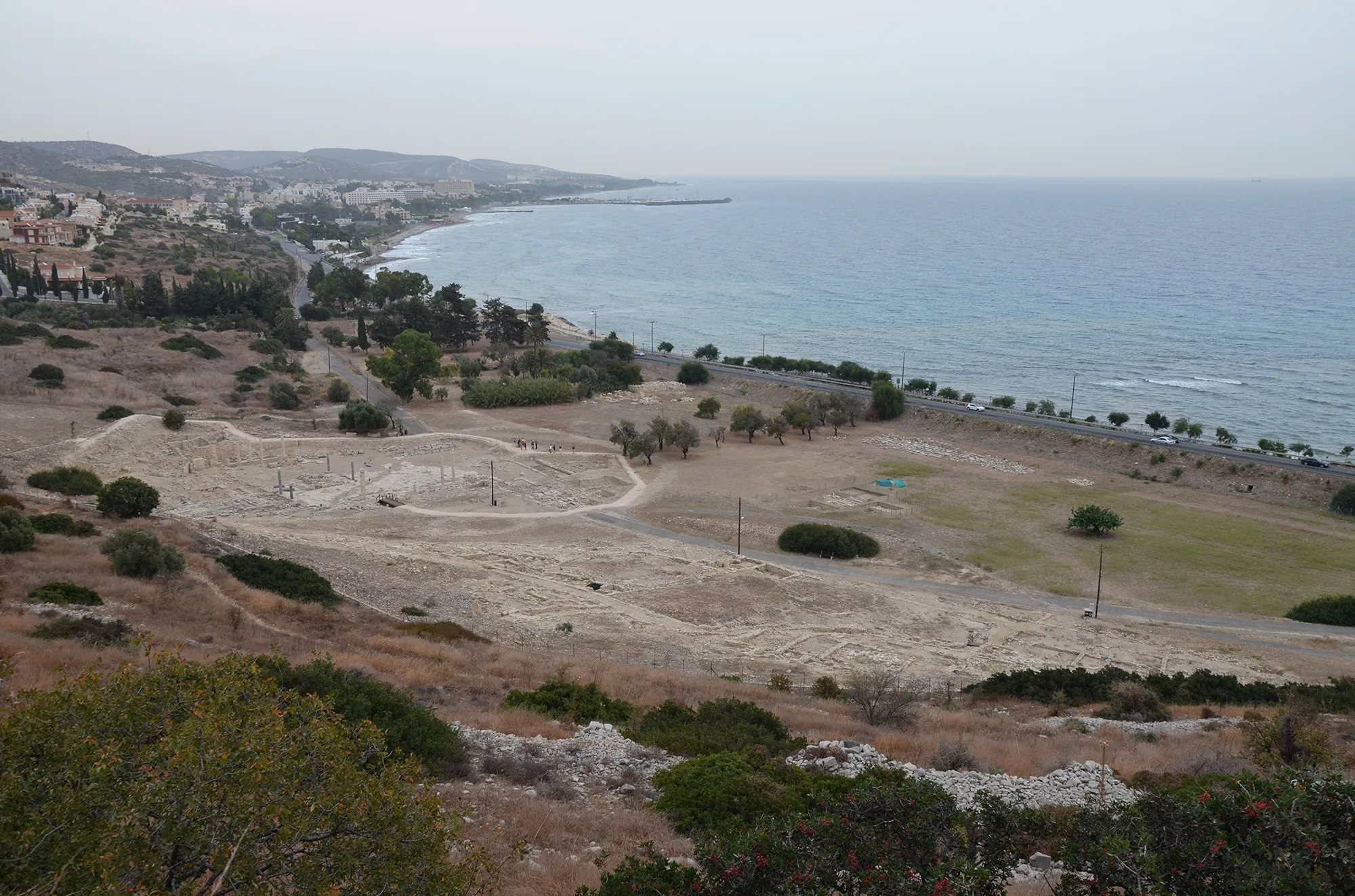
Amathus was the capital of one of the Iron Age kingdoms of Cyprus, on a coastal hill about 10 km east of Limassol. It was founded on an empty site in the 11th century BC and lived in until the end of the 7th century AD. Its acropolis carried a sanctuary of Aphrodite and the kings' palace; its people kept the island's old non-Greek language, Eteocypriot, at least until the time of Alexander.

In the compendium
Licensed Dealers and Registered Collections: The 1935 System and Its Record, to 1974
The 1935 licensed-dealer regime and register of declared collections, the named dealers, the December 1973 registration cards, and what registration proves.
In the compendium
Antiquities from the Sea: Amphorae, Wrecks and Divers off Cyprus
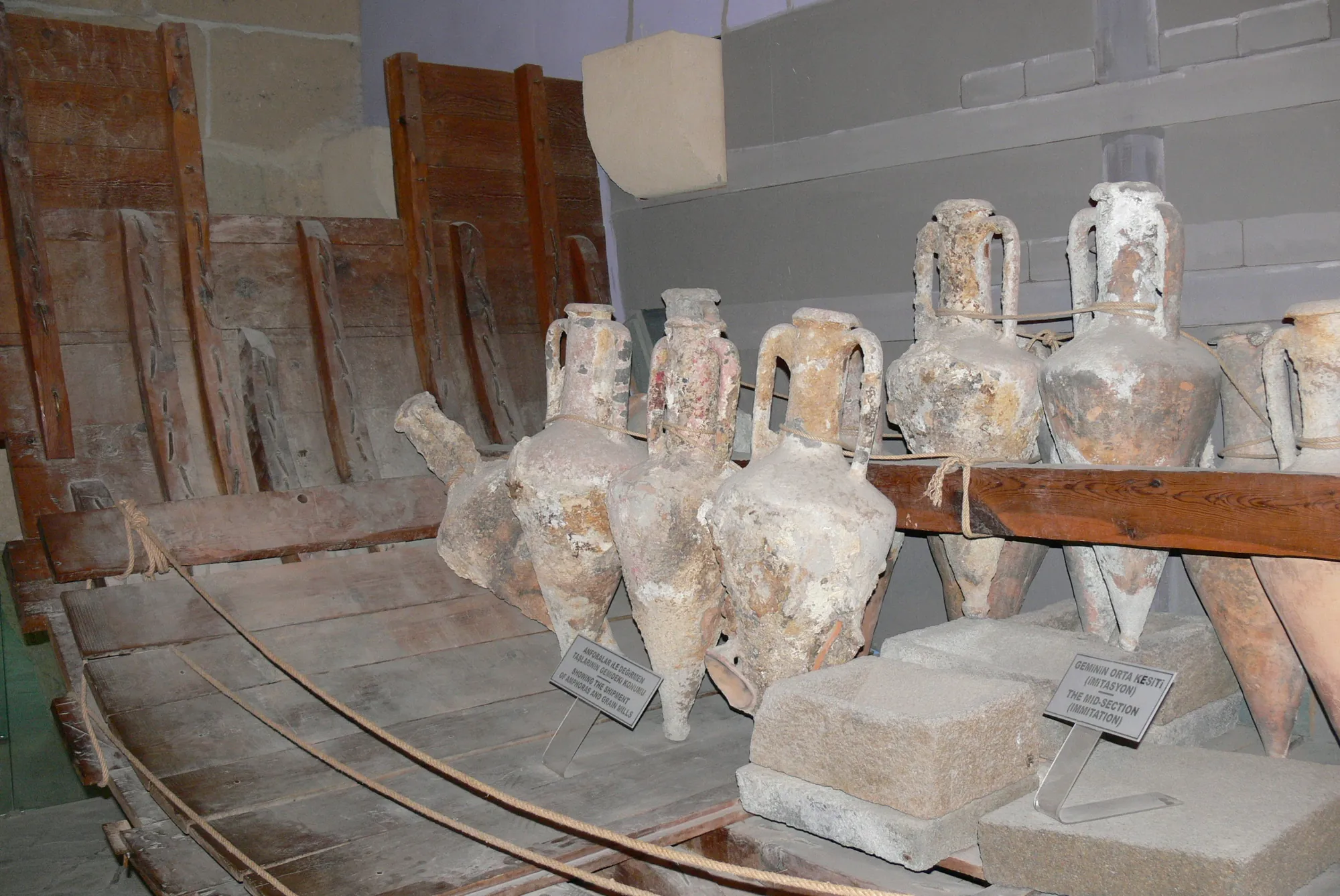
Finds at sea under the Antiquities Law, Cyprus and the 2001 UNESCO convention, the few cases of removal and seizure, sea-found amphorae on the market, and the lawful work beside them.
In the compendium
Food Storage in Ancient Cyprus: Pits, Pithoi and Storerooms
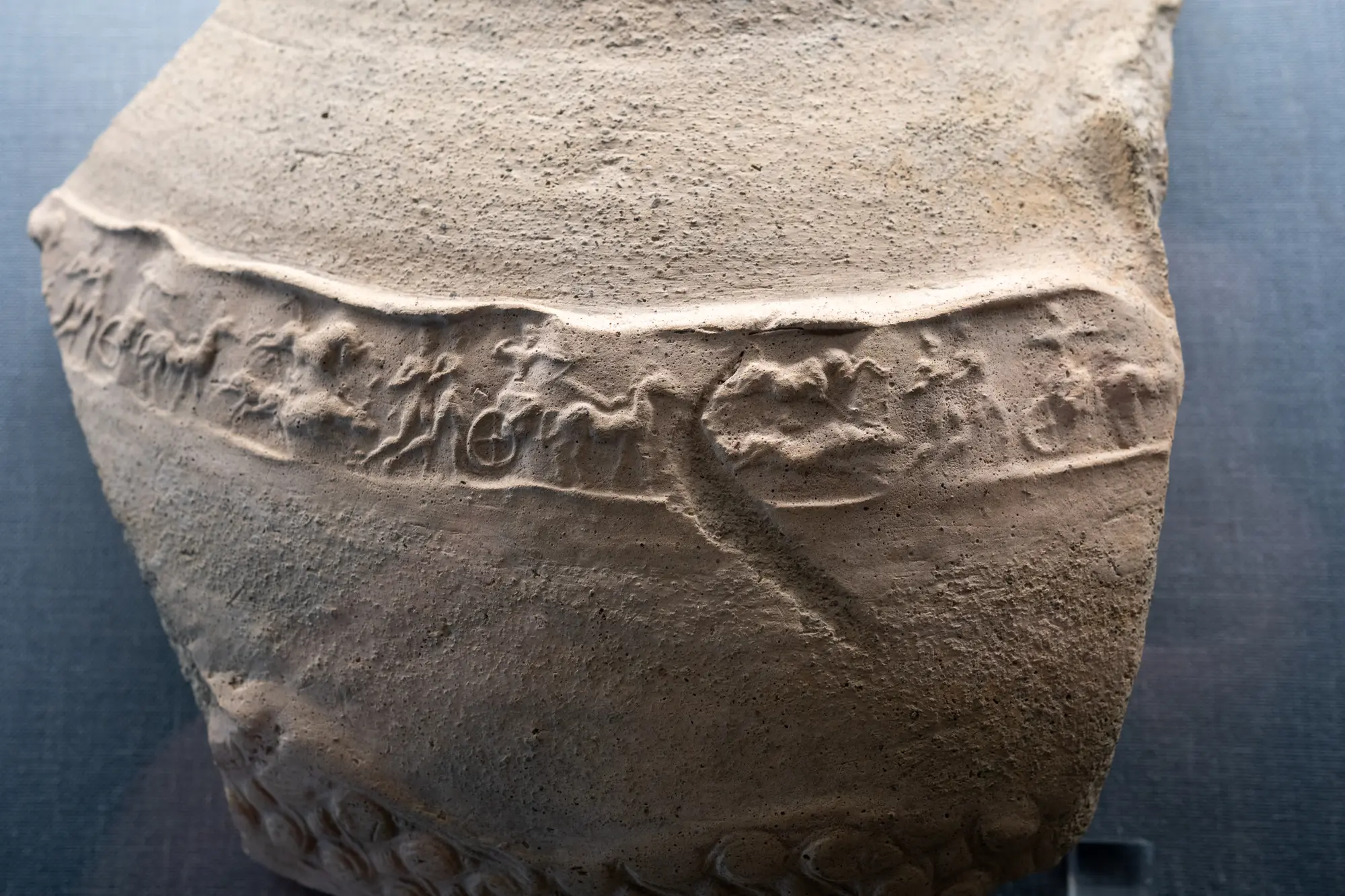
How Cypriots stored grain, oil and wine, from Chalcolithic pits and household jars to the great pithos halls of the Late Bronze Age towns.
Map of Cyprus
Places discussed in the talk
- Has a page on this site
- Other places
- Ground above 200, 500, 1,000 m