
Conference paper·Archaeological Research Unit - University of Cyprus·2018·In Greek
Skouriotissa: The Archaeology and History of the Mine through Archival Material and Interdisciplinary Studies
Σκουριώτισσα: Η αρχαιολογία και ιστορία του μεταλλείου μέσα από το αρχειακό υλικό και διεπιστημονικές μελέτες
Chapters
About the video
In this paper, given in Greek, Vasiliki Kassianidou of the University of Cyprus presents the first results of an A. G. Leventis Foundation project launched in 2016 to record the archaeology, history and ancient environment of the Skouriotissa copper mine and neighboring mines in the Solea valley. While copper metallurgy in Cyprus has drawn extensive scholarship, ancient mining galleries have mostly been destroyed since the 1960s by open-cast extraction. To study them, the project turns to archives from the first half of the twentieth century, when the Cyprus Mines Corporation (CMC) still worked underground and encountered ancient galleries and tools in situ.
Kassianidou traces early cartographic records of the slag heaps, beginning with Kitchener's nineteenth-century survey map and an 1897 manuscript map from the archive of mining engineer Andreas Kordellas, donated by Olga Kakavogianni. She then outlines the history of the CMC, founded after Charles Godfrey Gunther arrived in 1912 with the backing of investor Harvey Mudd, and shows a 1915 State Archive map defining village boundaries around Phoukasa hill and its ancient slag heaps.
The talk walks through private photographic and documentary archives assembled from former CMC staff and their families. Material from Charles Jackson, digitized by his grandson Bill Everett, documents the scale of the Skouriotissa slag heap in the 1920s. Albums kept by the family of James Latimer Bruce, author of a major 1937 study on Cypriot mining antiquities, include a photograph showing two oxhide ingots together in a Famagusta dealer's shop, confirming suggestions by Hector Catling and Robert Merrillees that the ingots now in the Cyprus Museum and at Harvey Mudd College came from George Basil Palma and probably originated at Enkomi. Negatives preserved by the daughter of Mavrovouni manager Donald Creveling record ancient wooden monoxylous ladders that have since perished.
Kassianidou next presents the archive of Austrian mining engineer Oskar Kortan, who mapped the mines between 1954 and 1971 and plotted ancient galleries, slag heaps and a necropolis now georeferenced by Athos Agapiou. Photographs from 1963 by Georgios Chrysostomou at Apliki-Karamallos show storage pithoi rather than furnaces, relating to the 13th-century BC miners' settlement excavated by Joan du Plat Taylor in 1938.
The paper concludes with radiocarbon dates obtained with Stuart Manning and Maria Socratous. Charcoal from a Skouriotissa slag heap recorded in 2016 dates to the Hellenistic and Early Roman periods, while miners' baskets and ropes in the Cyprus Museum date to the Late Bronze Age (Late Cypriot II and Late Cypriot III to Early Iron Age) and Late Antiquity, including an ore-filled basket that provides direct evidence for Late Bronze Age extraction.
From our collection
Pieces in the Drakopoulos collection of the kinds and periods this talk covers: Late Cypriot (Late Bronze Age), Cypro-Geometric, Hellenistic.
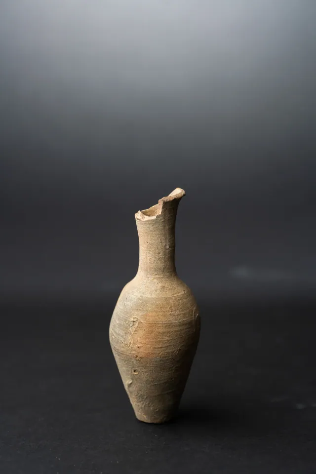
Fusiform Unguentarium
Hellenistic
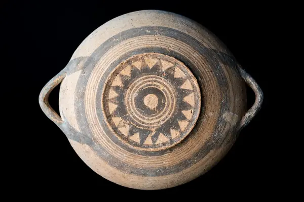
White Painted Plate with a Sawtooth Star on the Underside
Cypro-Geometric
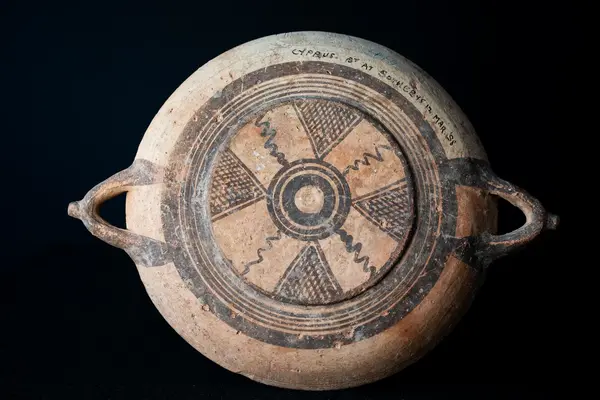
White Painted Plate with Latticed Triangles and Wavy Lines on the Underside
Cypro-Geometric
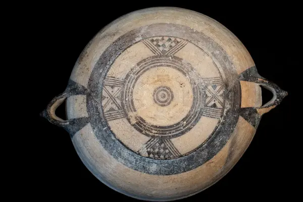
Large White Painted Plate with Knobbed Handles and a Four-Armed Cross on the Underside
Cypro-Geometric
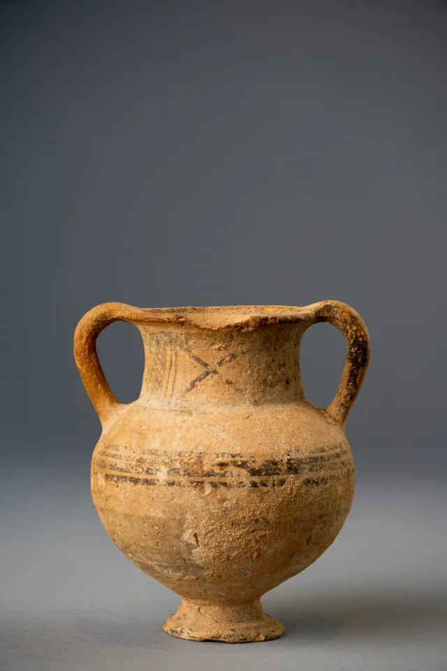
White Painted Amphoriskos on a Conical Foot
Cypro-Geometric
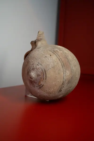
Bichrome Barrel Jug with Circled End-Knobs
Cypro-Geometric
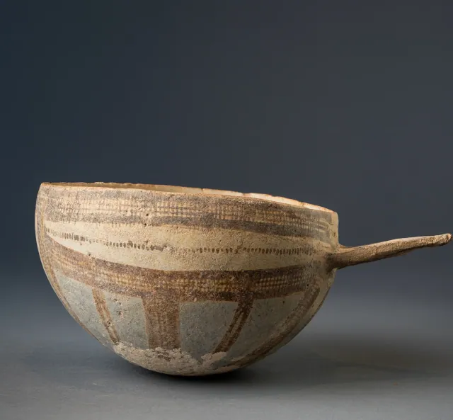
White Slip II Hemispherical Bowl with Wishbone Handle
Late Cypriot (Late Bronze Age)
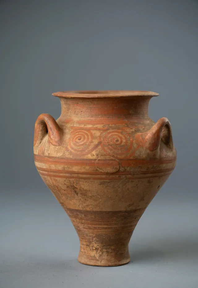
Cypriot Three-Handled Jar in the Mycenaean Style with Running Spirals
Late Cypriot (Late Bronze Age)
Found at the places discussed
Objects in our catalogue, in museum collections, recorded as found at these sites.


Background
Where to read more on this site before or after watching.
The site
Enkomi
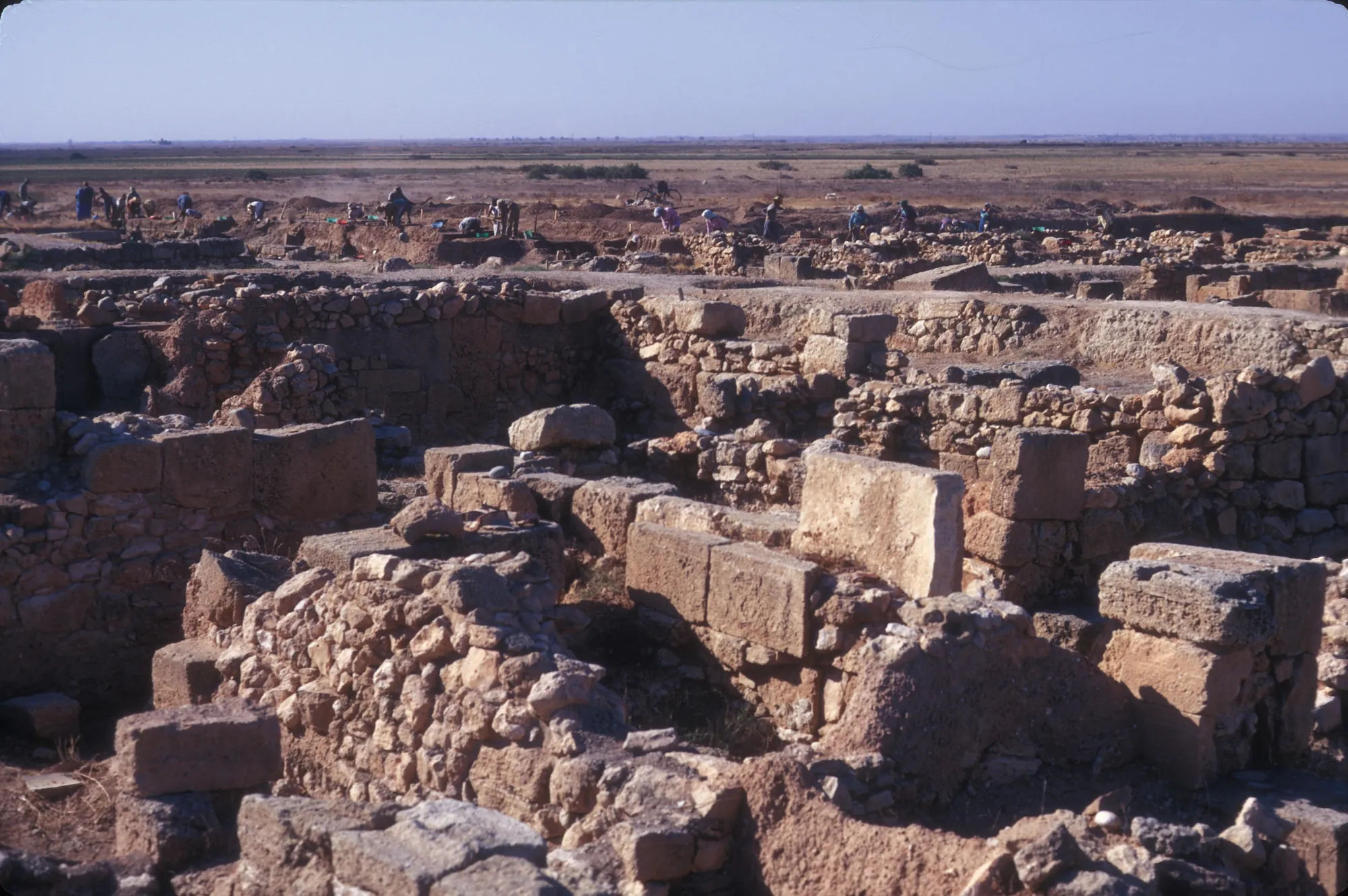
Enkomi is a walled Late Bronze Age town near the mouth of the Pedieos river on the bay of Famagusta, lived in from about 1650 BC until it was gradually abandoned for nearby Salamis. It was a port for Cypriot copper, and its excavations produced metal workshops, sanctuaries with bronze cult statues, rich tombs and the largest group of Cypro-Minoan inscriptions on the island.
In the compendium
Copper Metallurgy in Ancient Cyprus
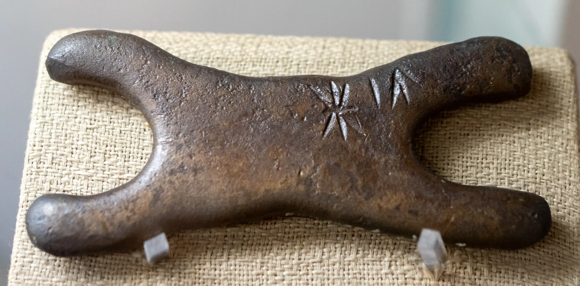
The mining, smelting and casting of the Troodos sulphide ores, from hammered Chalcolithic native copper to Late Bronze Age oxhide ingots and Archaic slag heaps.
In the compendium
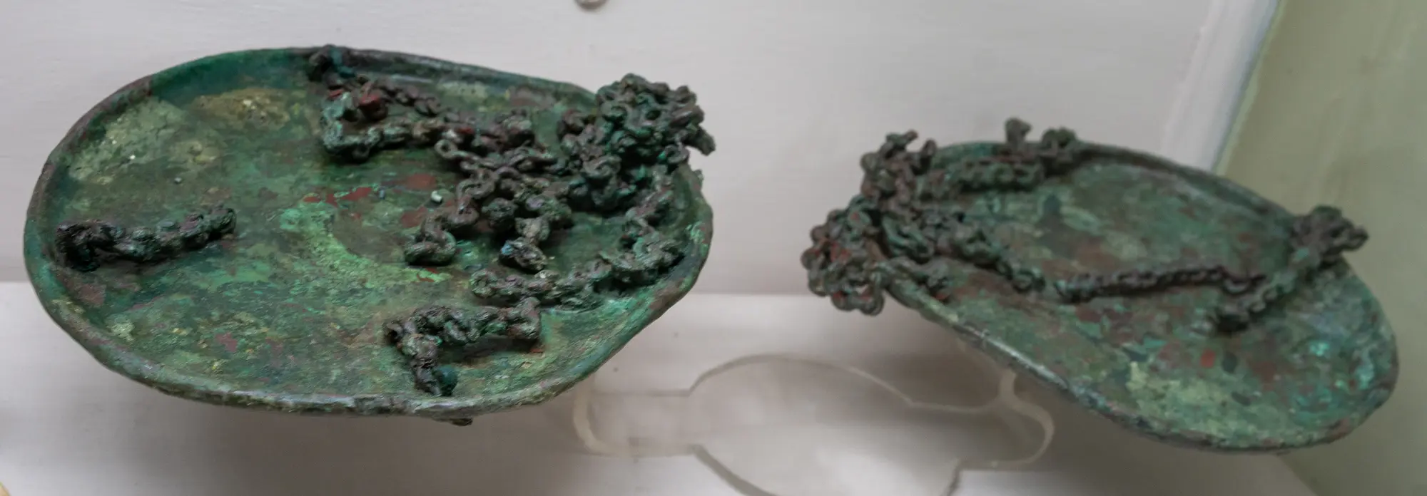
Weights and Ingots
Copper ingots, miniature votive ingots, balance weights and scale pans in Cyprus, from the Late Bronze Age into the Cypro-Geometric and Cypro-Archaic periods.
In the compendium
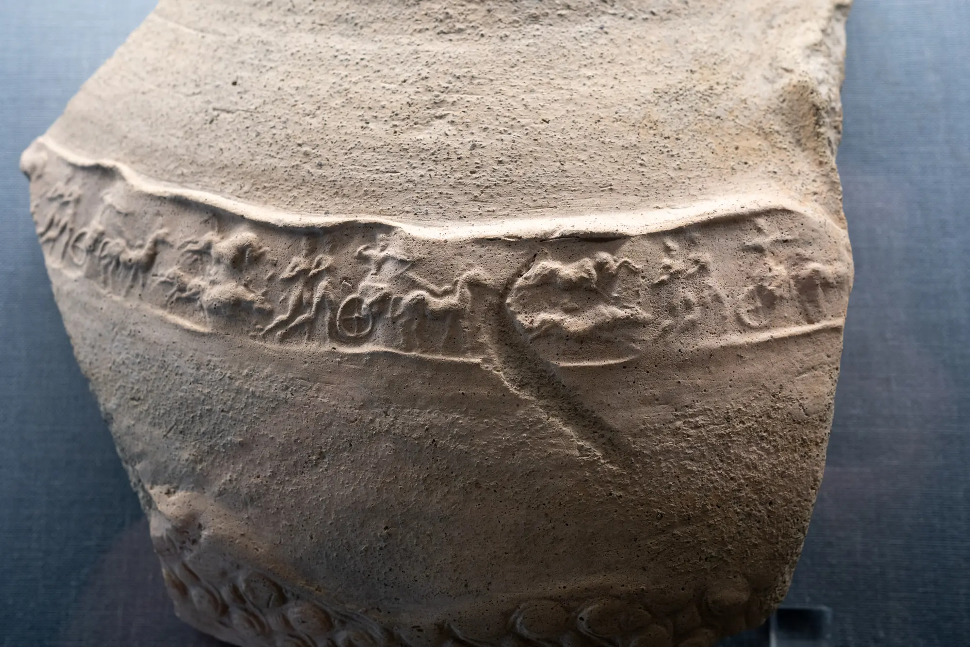
Food Storage in Ancient Cyprus: Pits, Pithoi and Storerooms
How Cypriots stored grain, oil and wine, from Chalcolithic pits and household jars to the great pithos halls of the Late Bronze Age towns.
Map of Cyprus
Places discussed in the talk
- Has a page on this site
- Other places
- Ground above 200, 500, 1,000 m
Places
- 1Skouriotissa (approx.)
- 2Apliki-Karamallos (approx.)
- 3Mavrovouni (approx.)
- 4Mathiatis (approx.)
- 5Enkomi