
Lecture·Archaeological Research Unit - University of Cyprus·2021
Maritime connections in Eastern Mediterranean prehistory
Chapters
About the lecture
Theodora Moutsiou of the Archaeological Research Unit of the University of Cyprus examines the role of seafaring and maritime networks in the Eastern Mediterranean from the terminal Pleistocene to the Late Aceramic Neolithic. Challenging older views that treated islands as isolated and impoverished habitats until the arrival of Neolithic farmers, she begins with the Pleistocene record of the wider region, noting mainland sites in the Levant and Greece and insular sites in the Aegean and Ionian seas. While lowered glacial sea levels connected many modern Aegean islands to the continent, Crete, Gavdos and Cyprus remained separated by open water.
Turning to Cyprus, which lay 30 to 60 kilometres from the mainland even at maximum sea-level lowstands, Moutsiou outlines the island's earliest occupation. The rock shelter of Akrotiri-Aetokremnos, excavated by Alan Simmons and dated to around 12,000 years ago, yielded over a thousand chipped stone pieces, picrolite beads, shells and roughly 300,000 bones, mostly of pygmy hippopotamus. Further early Holocene forager sites at Nissi Beach, Akamas-Aspros and Vretsia-Roudias, followed by the initial Aceramic Neolithic settlements of Ayios Tychonas-Klimonas and Ayia Varvara-Asprokremnos around 10,000 years ago, show sustained use of the sea before and during early farming.
The core of the lecture presents geochemical sourcing of two exotic stones found in Aceramic Neolithic Cyprus: carnelian and obsidian. Only 50 carnelian beads have been documented across four Aceramic Neolithic sites, with the largest group at Khirokitia. Non-destructive X-ray fluorescence analysis separates the Cypriot carnelian into two compositional groups, though geological source data remain insufficient to pinpoint their origin. Obsidian appears first in small quantities at Klimonas, peaks in the Early Aceramic Neolithic, and declines in the Late Aceramic Neolithic. Because the island's total Aceramic Neolithic assemblage amounts to only about three kilograms of raw material and consists almost entirely of finished pressure-flaked blades and bladelets without core debris, Moutsiou argues that the tools were made offshore and imported for their social and sensory value rather than utilitarian need. Elemental characterisation assigns the majority of Cypriot obsidian to Göllü Dağ and smaller amounts to Nenezi Dağ in central Anatolia, alongside a single piece from the eastern Anatolian source of Bingöl B found at Shillourokambos.
Combining these distributions with drift-simulation modelling of winds and currents, Moutsiou proposes two maritime routes to Cyprus: one from Anatolia to the north coast and another from the northern Levant to the south coast. She concludes by considering two-way exchange, suggesting that visitors processed pigments and chipped stone for export at Ayia Varvara-Asprokremnos, possibly exported picrolite to the mainland, and shared symbolic traditions visible in incised dentalium shells and engraved pebbles at Khirokitia and Kholetria-Ortos.
From our collection
Pieces in the Drakopoulos collection of the kinds and periods this talk covers: Neolithic.
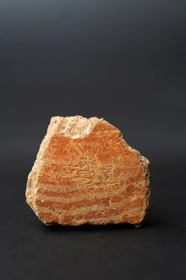
Combed Ware Bowl Fragment with Parallel Bands
Neolithic
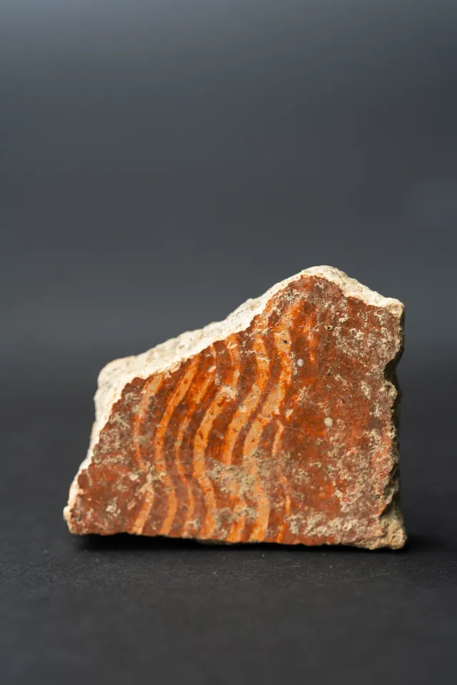
Combed Ware Bowl Fragment with Multiple Wavy Bands
Neolithic
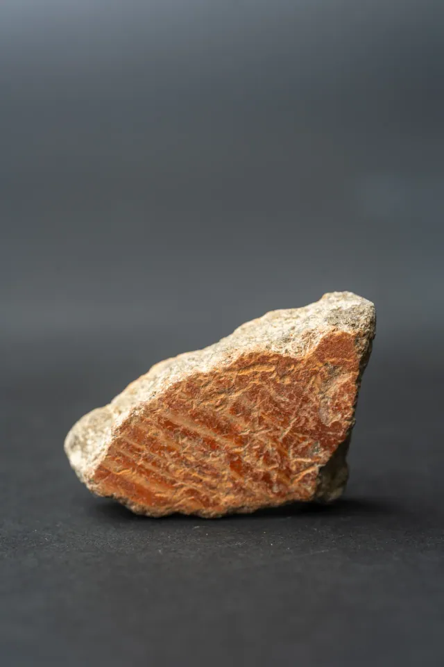
Combed Ware Bowl Fragment with Oblique Bands
Neolithic
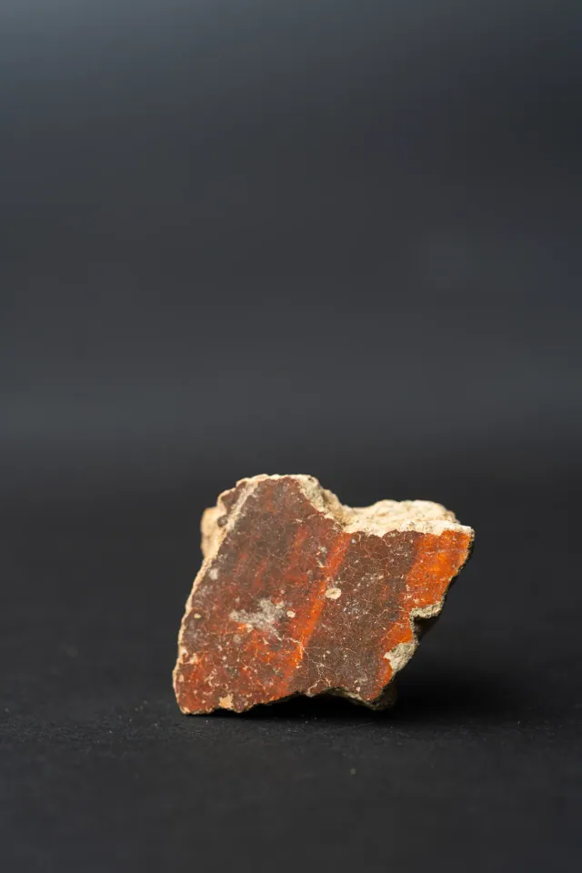
Red Lustrous Ware Body Sherd with Fire-Mottled Slip
Neolithic
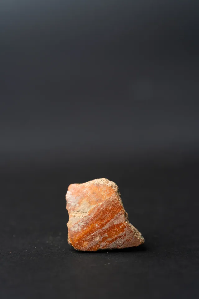
Red Slip Ware Body Sherd with Streaked Slip
Neolithic
Found at the places discussed
Objects in our catalogue, in museum collections, recorded as found at these sites.
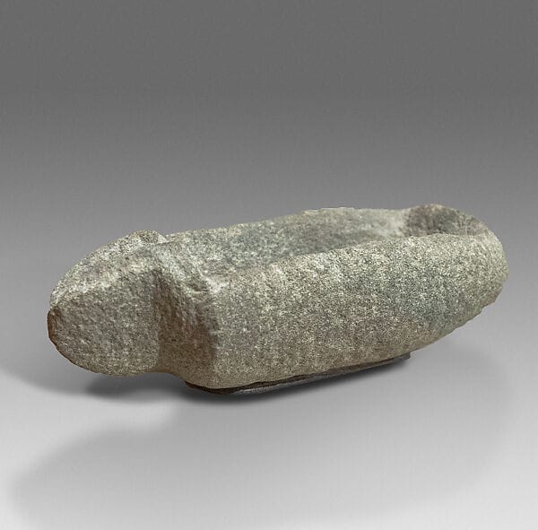
Background
Where to read more on this site before or after watching.

The site
Ayia Varvara-Asprokremnos
A Cypro-PPNA site of about 8900 to 8550 BC on the Yialias river between Ayia Varvara and Mathiati. Excavated by Carole McCartney in seven seasons from 2006 to 2013, it has four round semi-sunken structures used one after another and very large quantities of worked chert and ochre, produced, the excavator argued, for exchange.
In the compendium
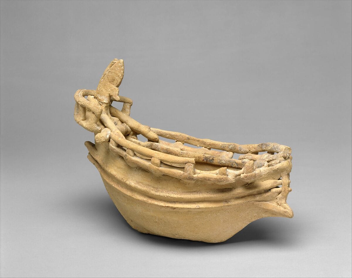
Seafaring and Ships in Ancient Cyprus
The evidence for boats and seafaring around Cyprus from the first crossings to the Classical period, from anchors, models and graffiti to wrecks and shipsheds.
In the compendium
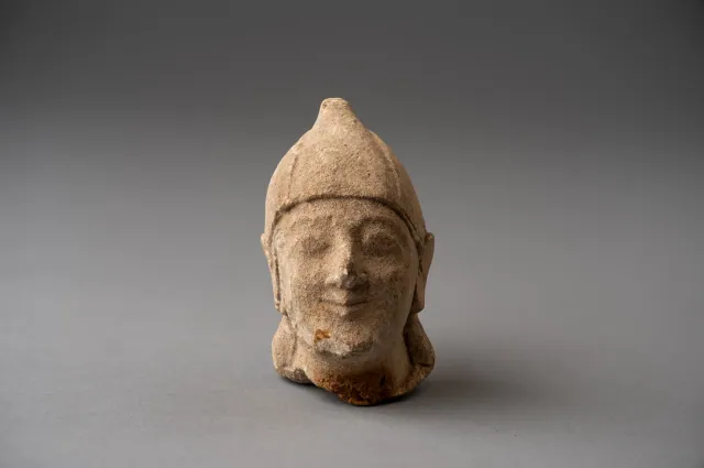
Stone in Ancient Cyprus
Cypriots worked local chert, igneous rocks, picrolite and limestone from the Neolithic onwards, and imported marble, alabaster and gemstones.
In the compendium
Ivory, Bone, Shell and Wood
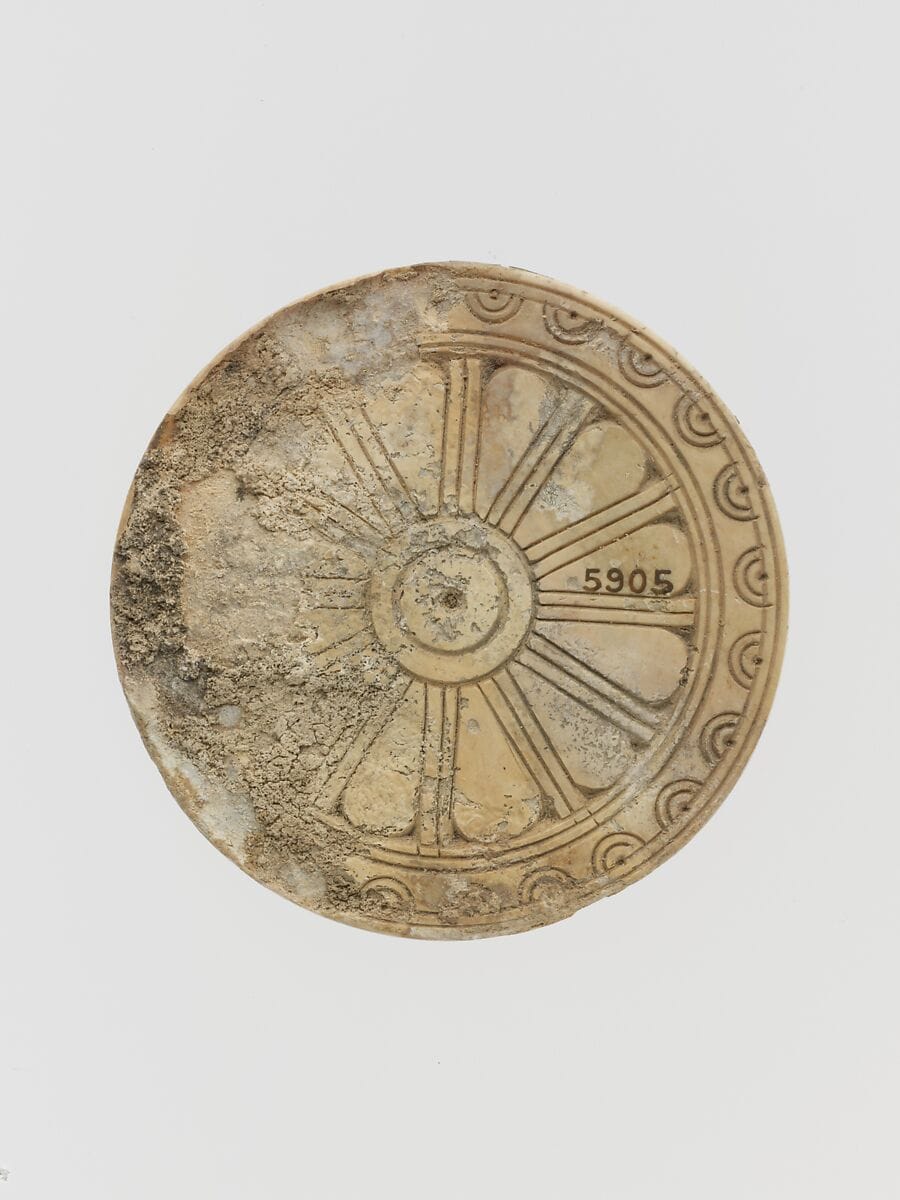
Ivory, bone, shell and wood were the organic raw materials of ancient Cypriot craft; the first three often survive, while wood is known mostly from traces.
Map of Cyprus
Places discussed in the talk
- Has a page on this site
- Other places
- Ground above 200, 500, 1,000 m
Places
- 1Akrotiri-Aetokremnos
- 2Nissi Beach (approx.)
- 3Akamas-Aspros (approx.)
- 4Vretsia-Roudias (approx.)
- 5Ayios Tychonas-Klimonas (approx.)
- 6Ayia Varvara-Asprokremnos
- 7Khirokitia
- 8Parekklisha-Shillourokambos (approx.)
- 9Kholetria-Ortos (approx.)