
Lecture·Archaeological Research Unit - University of Cyprus·2021
The Byzantine and Historical Archaeologies of Greece and Cyprus: Artifact and Landscape Studies
Chapters
About the lecture
Athanasios Vionis of the University of Cyprus presents the work of the Artefact and Landscape Studies Laboratory (ArtLands Lab) through two regional survey projects: the Boeotia surveys in central Greece and the Settled and Sacred Landscapes of Cyprus (SeSaLaC) project in the Xeros River Valley in the Larnaca district. The lecture examines two transitional eras in both regions: the Byzantine early Middle Ages (7th to 9th centuries) and the late medieval to early Ottoman period (15th to 17th centuries).
For the 7th to 9th centuries, Vionis questions the strict model of urban ruralisation. In Boeotia, ceramic restudy at Hyettos and Thespiai and survey at Tanagra and the nearby walled hill of Kastri show continued habitation and trade, for which he proposes the terms micro-town or peer-village. In the Xeros Valley, geophysical survey by Apostolos Sarris at Kophinou mapped a 13-hectare late antique agro-town centered on the basilica of Panagia. In the 8th and 9th centuries this settlement dispersed into smaller rural sites around churches such as Saint Athanasius Pentaschinitis, which Vionis suggests oversaw land and pilgrimage in a period of climatic downturn.
Turning to ceramics, Vionis outlines a 7th-to-9th-century ceramic koine across Constantinople, the Aegean, and Cyprus, comprising globular amphorae, wheelmade cooking pots, handmade wares, stick-burnished wares, painted jugs, and Constantinopolitan monochrome glazed wares. Chemical analysis by Andreas Charalambous of sherds from the Xeros Valley indicates that decentralized late antique workshops gave way to a single clay source, probably near Kornos.
For the 15th to 17th centuries, the talk traces the demographic boom of Ottoman Boeotia recorded in the tahrir defters, illustrated by the village of Panaya in the Valley of the Muses, and its 17th-century fragmentation into small chiftlik estates. In the Xeros Valley, Venetian and early Ottoman settlement concentrated around Alaminos, with its 15th-century tower house and church of Saint Mamas, and around Kophinou. While unglazed utility wares continued to come from the Kornos area, glazed wares came from Lapithos, and residue and petrographic analyses of cooking pots by Maria Dikomitou-Eliadou show a 15th-century shift in fabrics and a diet rich in pork.
The lecture closes with the project's community archaeology in the Xeros Valley, including an augmented-reality mobile tour of ten Christian and Muslim monuments and cognitive psychology research at a 14th-century church of the Panagia on the edge of the survey area. In the discussion, Vionis, Pamela Gaber, and Thomas Gallant address 7th- and 8th-century pottery at Idalion and in the Troodos foothills, zooarchaeology, and Ottoman-period village cemeteries.
From our collection
Pieces in the Drakopoulos collection of the kinds and periods this talk covers: Amphora.
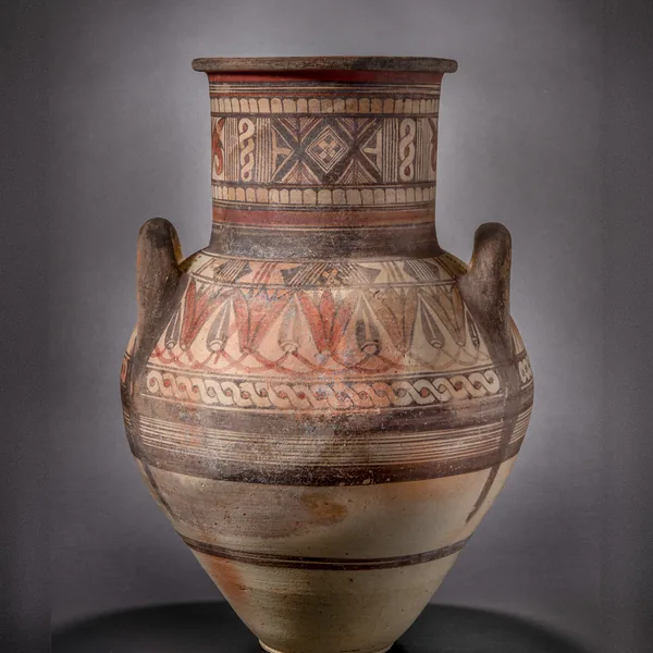
Bichrome IV Amphora with a Lotus-and-Bud Shoulder Frieze
Amphora
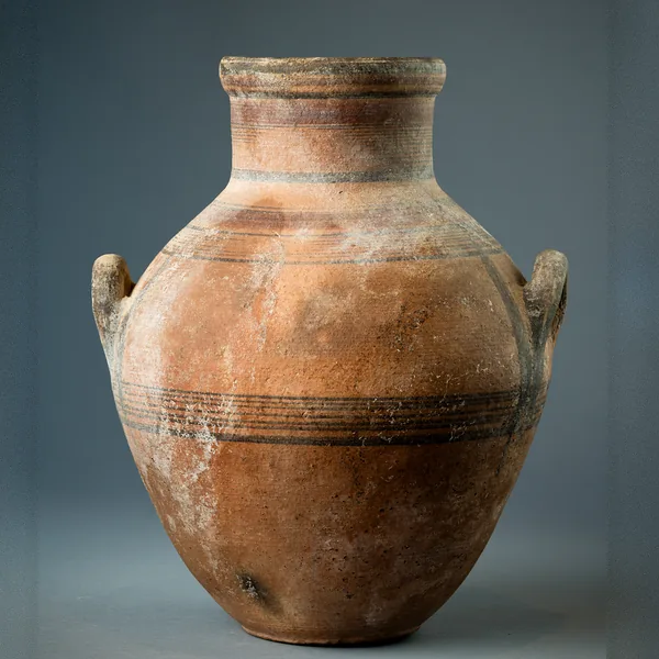
Bichrome IV Amphora with Shoulder Handles and Banded Decoration
Amphora
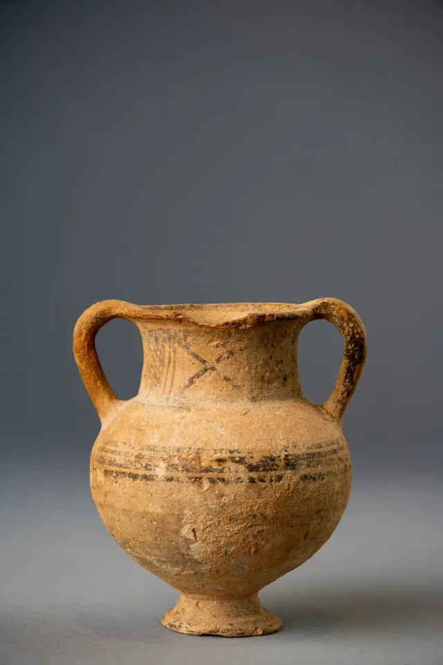
White Painted Amphoriskos on a Conical Foot
Amphora
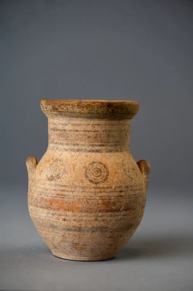
Bichrome IV Amphoriskos with Concentric Circles
Amphora
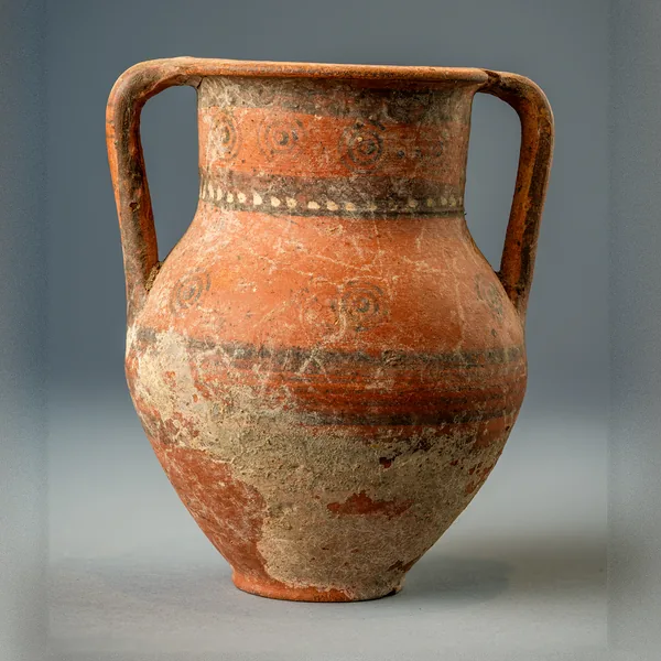
Bichrome Red Amphora with Concentric Circles and a Row of White Dots
Amphora
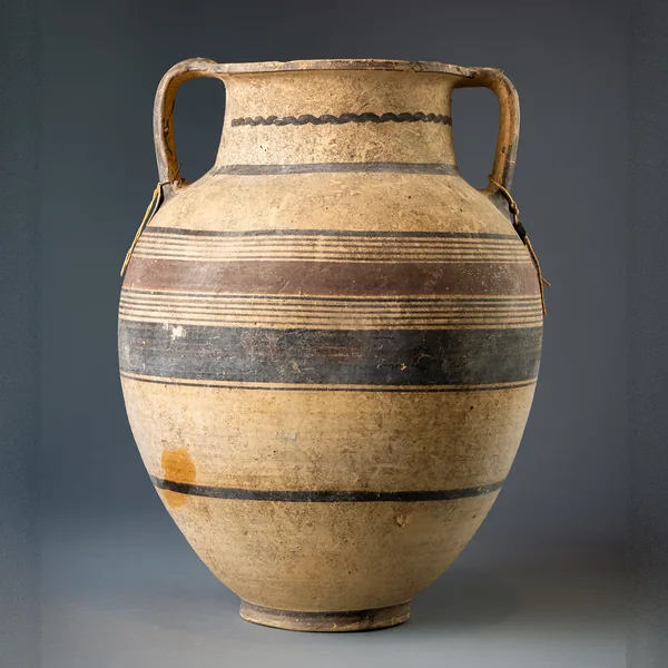
Large Bichrome Amphora with a Wavy Line on the Neck
Amphora
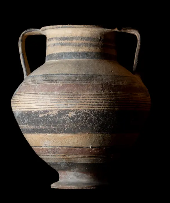
Bichrome Amphora on a Pedestal Foot with Wavy Lines on the Neck
Amphora
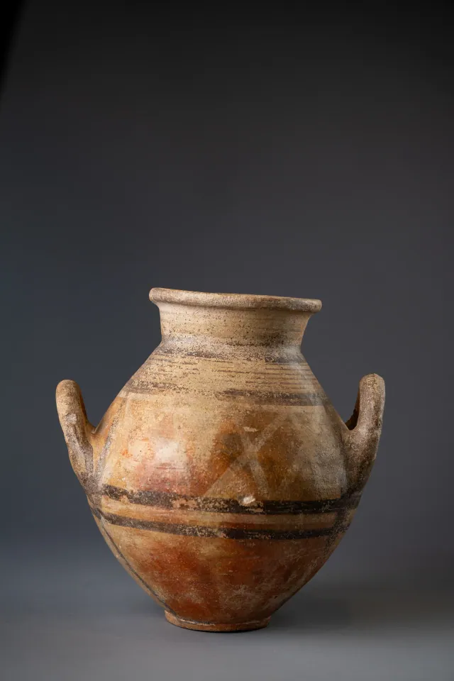
Red-Slipped Amphora with Pale Crosses on the Shoulder, probably Bichrome Red Ware
Amphora
Found at the places discussed
Objects in our catalogue, in museum collections, recorded as found at these sites.


Background
Where to read more on this site before or after watching.
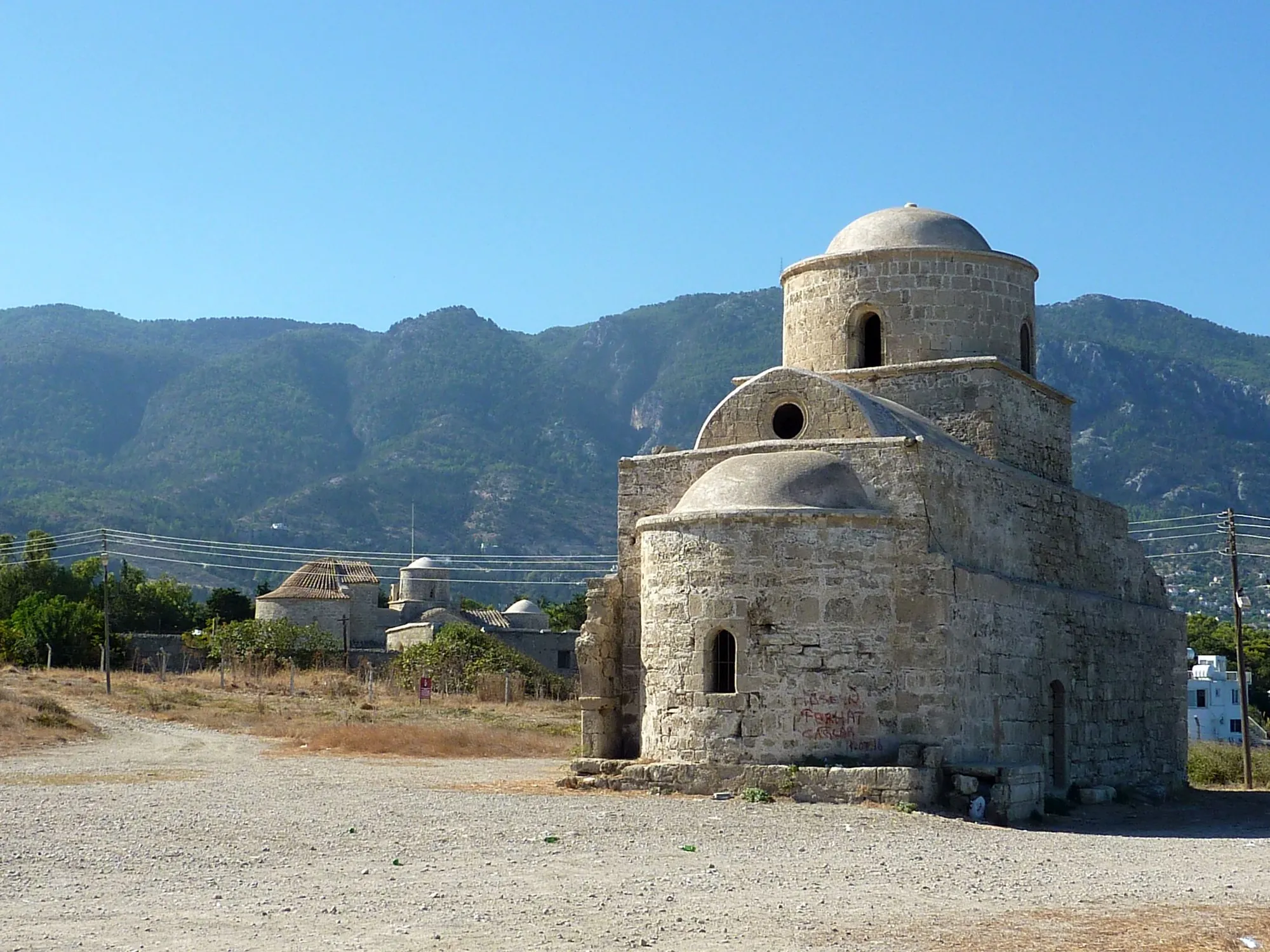
The site
Lapithos
A group of cemeteries and settlement sites around the village of Lapithos on the north coast, below the Kyrenia range. Its Early and Middle Bronze Age cemetery at Vrysi tou Barba has produced about five times as much metal as Vounous, its Cypro-Geometric tombs gave the pottery sequence for that period, and ancient Lapethos was a city-kingdom until 312 BC.
In the compendium
Amphora
A closed jar with two opposed handles, made in Cyprus in belly-handled and vertical-handled painted series and as a basket-handled transport jar.
In the compendium
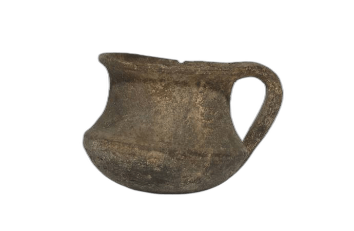
Coarse Wares, Pithoi and Cooking Pots
The heavily tempered storage, cooking and utility pottery of Cyprus from the Chalcolithic to the Cypro-Classical period, classified mainly by fabric and function.
In the compendium
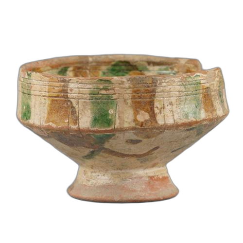
Medieval Glazed Sgraffito Ware
Wheel-made red-clay tableware coated in white slip, incised through the slip and lead-glazed, made in Cypriot workshops from the 13th to the 16th century AD.
Map of Cyprus
Places discussed in the talk
- Has a page on this site
- Other places
- Ground above 200, 500, 1,000 m