
Conference paper·CAARI Cyprus·2020
Diving into the Past: Archival Research Results of the Cyprus Coastal Assessment Project and the History of the First Underwater Archaeological Explorations in Cyprus
Panayiotis Theofanous, Maria Volikou and Despina Pilides
Chapters
About the video
Panayiotis Theofanous presents a paper co-authored with Maria Volikou and Despina Pilides of the Department of Antiquities, setting out archival findings from the Cyprus Coastal Assessment Project (CCAP). Launched in September 2019 with funding from the Onassis Foundation and the Government of Cyprus, CCAP maps underwater and coastal sites to support maritime spatial planning and heritage protection. Its first phase combines GIS mapping and hydrographic data with a study of the administrative archives of the Department of Antiquities, press archives and reported chance finds.
The paper traces attention to maritime remains in British-period Cyprus before the invention of scuba gear. It notes observations of coastal structures at Palaepaphos in 1887 to 1888 by D. G. Hogarth and his colleagues, and work by the Cyprus Exploration Fund identifying harbour remains at Soli in 1889 and mapping reefs and quays at Salamis in 1890. In 1900 George Jeffery campaigned through the Society for the Protection of Ancient Buildings against the removal of stones from medieval Famagusta for harbour works, retrieving the ancient port chain after dredging. Between 1935 and 1938 Joan du Plat Taylor excavated the ancient harbour of Karpasia at Ayios Philon.
Actual underwater surveys began in the 1950s, carried out largely by British military sub-aqua clubs supplied with compressed air by the local firm Hadjikyriakos & Sons. In July 1954 the Mercury Divers of the 2nd Wireless Regiment in Famagusta reported Venetian and Turkish wrecks, and a soldier diver received an export licence for an amphora from Salamis. In August 1954 the Cyprus District Headquarters Sub-Aqua Club surveyed the harbours of Salamis under a permit from Director of Antiquities Peter Megaw, assisted by Tom Dupree and his yacht Kyrenia, recovering a sixth-century BC terracotta head, vessels and ship planks. Concerned by unregulated diving, Porphyrios Dikaios consulted Professor Orlandos in Athens in October 1954 on Greek underwater rules.
In 1955 the Cyprus Underwater Expedition at Bogaz drew scrutiny from survey officer Hector Catling, who suspected unreported finds from Cape Elaia. Later military surveys included Blashford-Snell's Operation Aphrodite at Paphos (1959 to 1961), an unauthorised RAF Nicosia dive in Kyrenia harbour in 1960 that was halted and had its recovered amphora confiscated, and a Roman wreck reported off Akrotiri. By the mid-1960s, new department policy restricted underwater survey permits to scientific teams led by archaeologists.
From our collection
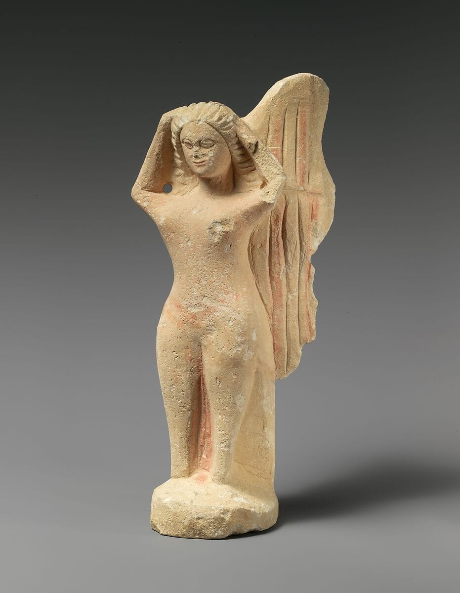
Pieces in the Drakopoulos collection of the kinds and periods this talk covers: Amphora, Hellenistic.
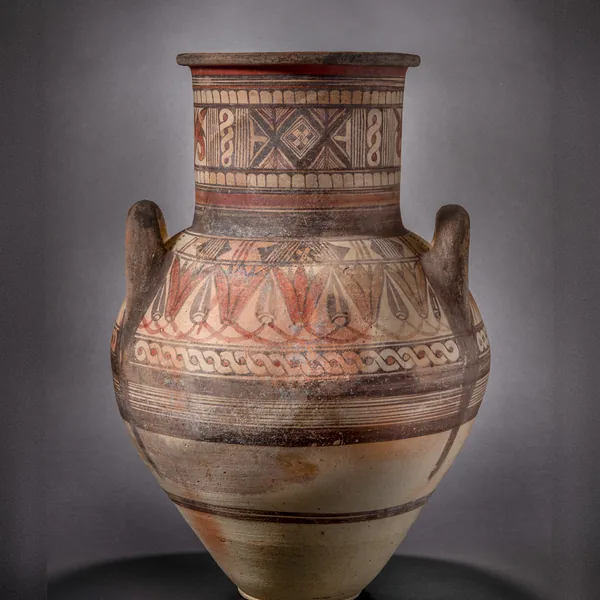
Bichrome IV Amphora with a Lotus-and-Bud Shoulder Frieze
Amphora
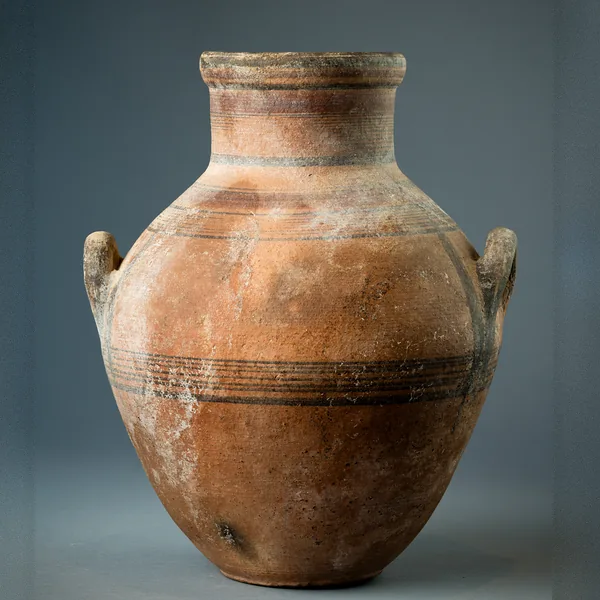
Bichrome IV Amphora with Shoulder Handles and Banded Decoration
Amphora
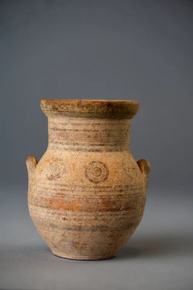
Bichrome IV Amphoriskos with Concentric Circles
Amphora
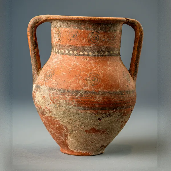
Bichrome Red Amphora with Concentric Circles and a Row of White Dots
Amphora
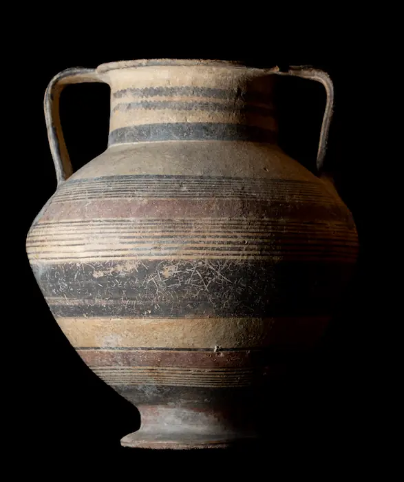
Bichrome Amphora on a Pedestal Foot with Wavy Lines on the Neck
Amphora
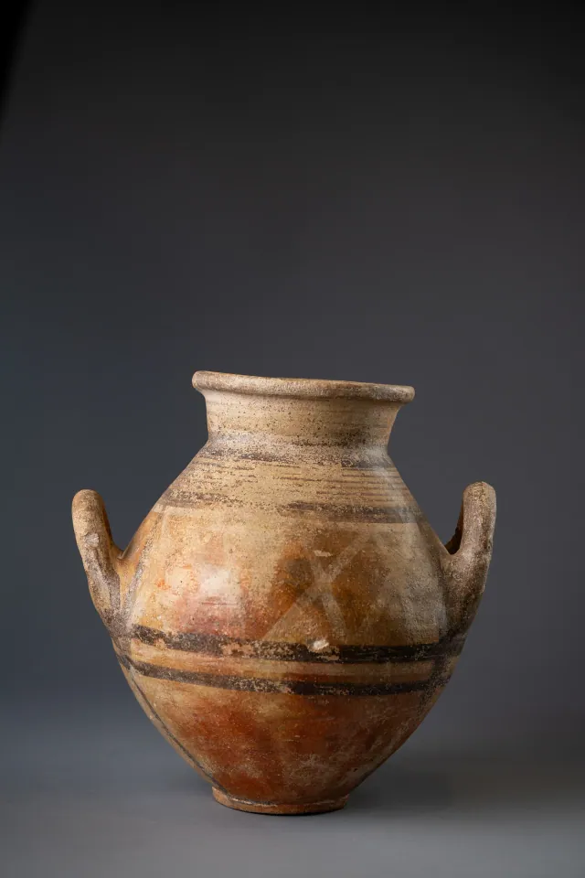
Red-Slipped Amphora with Pale Crosses on the Shoulder, probably Bichrome Red Ware
Amphora
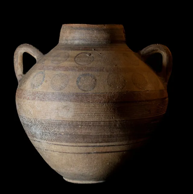
Globular Bichrome Amphora with Two Registers of Concentric Circles
Amphora
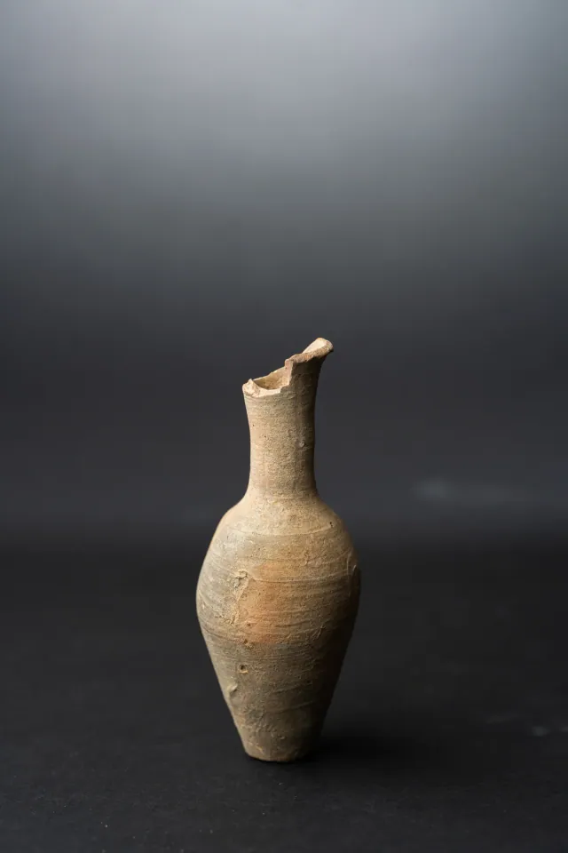
Fusiform Unguentarium
Hellenistic
Found at the places discussed
Objects in our catalogue, in museum collections, recorded as found at these sites.



Background
Where to read more on this site before or after watching.
The site
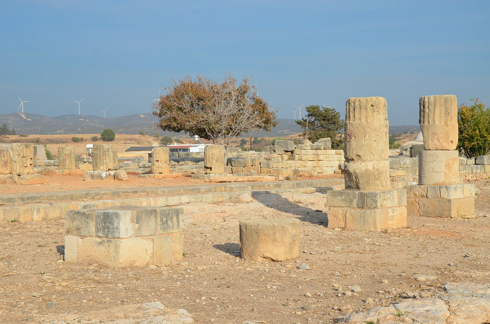
Palaepaphos (Kouklia)
Palaepaphos, Old Paphos, lies under and around the village of Kouklia in western Cyprus. Founded in the Middle Bronze Age, it was the only large town of the south-west until the early Hellenistic period, the seat of the kings of Paphos and the site of the sanctuary of the Paphian goddess, Aphrodite, worshipped here from about 1200 BC to the end of the 4th century AD.
In the compendium
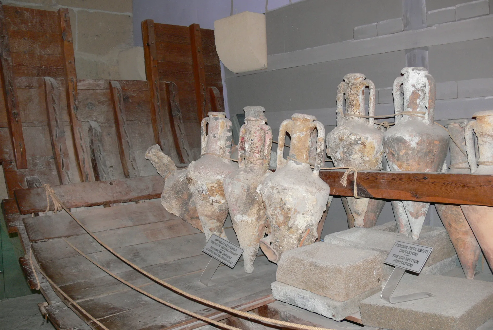
Antiquities from the Sea: Amphorae, Wrecks and Divers off Cyprus
Finds at sea under the Antiquities Law, Cyprus and the 2001 UNESCO convention, the few cases of removal and seizure, sea-found amphorae on the market, and the lawful work beside them.
In the compendium
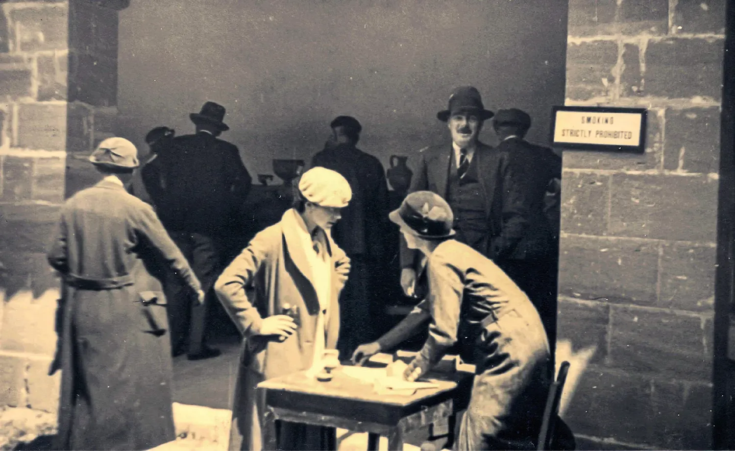
The Legal Export of Cypriot Antiquities
The succession of Ottoman, colonial and Republic laws under which Cypriot antiquities lawfully left the island until licensed export ended in 1996.
In the compendium
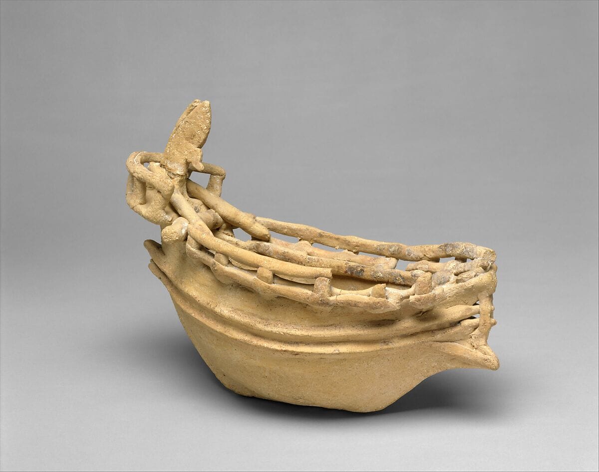
Seafaring and Ships in Ancient Cyprus
The evidence for boats and seafaring around Cyprus from the first crossings to the Classical period, from anchors, models and graffiti to wrecks and shipsheds.
Map of Cyprus
Places discussed in the talk
- Has a page on this site
- Other places
- Ground above 200, 500, 1,000 m
Places
- 1Palaepaphos
- 2Soli
- 3Salamis
- 4Karpasia
- 5Tsambres (approx.)
- 6Aphendrika (approx.)
- 7Kyrenia
- 8Lara (approx.)