
Lecture·Archaeological Research Unit - University of Cyprus·2020
Inland Cyprus in the Late Bronze Age: Survey and excavations in the region of Agios Sozomenos
Chapters
About the lecture
Despina Pilides, Curator of Antiquities at the Department of Antiquities, presents the results of the archaeological project she has directed since 2012 in the region of Agios Sozomenos in central Cyprus. Situated at the junction of the Alykos and Yialias rivers between the Troodos copper mines and eastern coastal ports such as Enkomi, the area saw tomb excavations by Max Ohnefalsch-Richter in 1894 and a valley survey by Hector Catling and Kyriakos Nicolaou in 1957, which recorded fortifications on the plateaus of Kafkalia, Barsak and Nikolides and a major settlement at Ampelia. The 2012 project began with an intensive GIS survey conducted with Cornell University to resolve conflicting toponyms and chronologies before moving to targeted excavations.
On the Barsak plateau, trenches dug in 2015 and 2016 revealed a massive double enclosure wall with an exterior rock-cut ditch, but no internal architecture or storage vessels. The small repertoire of worn White Painted and Red Polished IV sherds indicates that the fort served for surveillance rather than storage and was occupied only briefly. At the Nikolides plateau, excavations between 2015 and 2020 investigated the circuit wall and a rectangular tower dressed with ashlar masonry that had long been dated to the Late Bronze Age from surface finds. The 2020 season uncovered a foundation deposit between an older wall and the ashlar phase containing five intact vessels of the Hellenistic period, including a lagynos, a skyphos and two Megarian bowls. Pilides shows that the ashlar tower and circuit wall were built in the Hellenistic period after the abolition of the city-kingdoms, reusing stones from an earlier Late Bronze Age Cyclopean wall preserved on the eastern slope.
In the valley below the plateaus, excavations at Djirpoulos exposed a two-phase Late Bronze Age building containing plaster floors, hearths, clay basins, a stone-lined cistern, kiln or furnace remains, metal slag, a stone mould for pins, loom weights, wall brackets, White Slip ware, a Canaanite jar and a bronze axe inscribed with a Cypro-Minoan sign identified by Massimo Perna. About 350 metres away on the hillock of Ampelia, part of the same settlement, excavation uncovered a large building holding at least thirteen to sixteen large pithoi on stone bases, destroyed by a severe fire radiocarbon-dated between the mid-15th and early 12th centuries BC. Wet sieving recovered grape seeds, raisins, figs and barley. Pilides argues that Djirpoulos and Ampelia formed a specialized system of craft workshops and centralized agricultural storage overseen by a local elite, which collapsed at the start of the 12th century BC through internal social and economic pressures, possibly exacerbated by arid climatic conditions, rather than external invasion.
From our collection
Pieces in the Drakopoulos collection of the kinds and periods this talk covers: Jar, White Slip ware, Middle Cypriot (Middle Bronze Age), Late Cypriot (Late Bronze Age), Hellenistic.
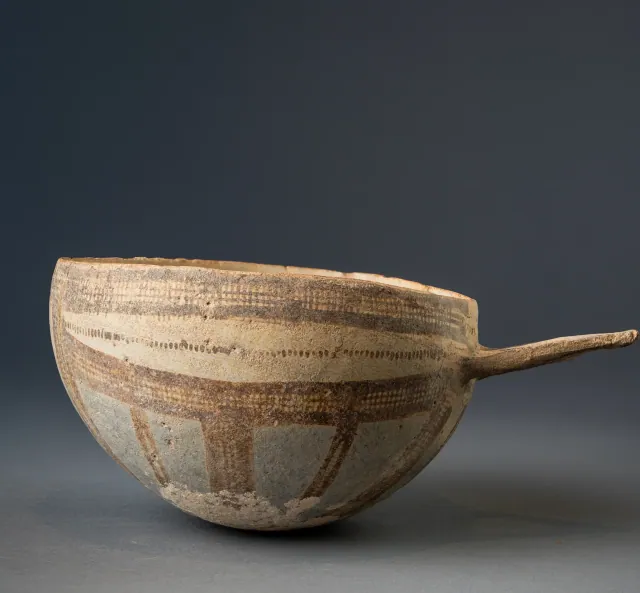
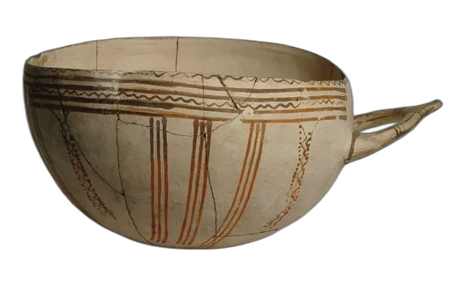
White Slip II Hemispherical Bowl with Wishbone Handle
White Slip ware
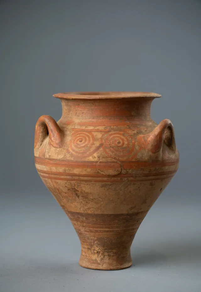
Cypriot Three-Handled Jar in the Mycenaean Style with Running Spirals
Jar
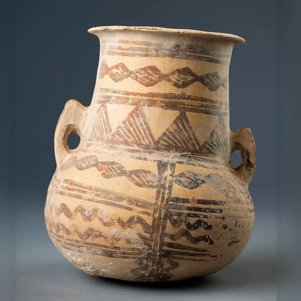
White Painted III-IV Amphora with Lozenge Chains and Hatched Triangles
Jar
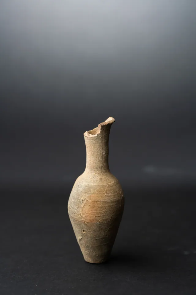
Fusiform Unguentarium
Hellenistic
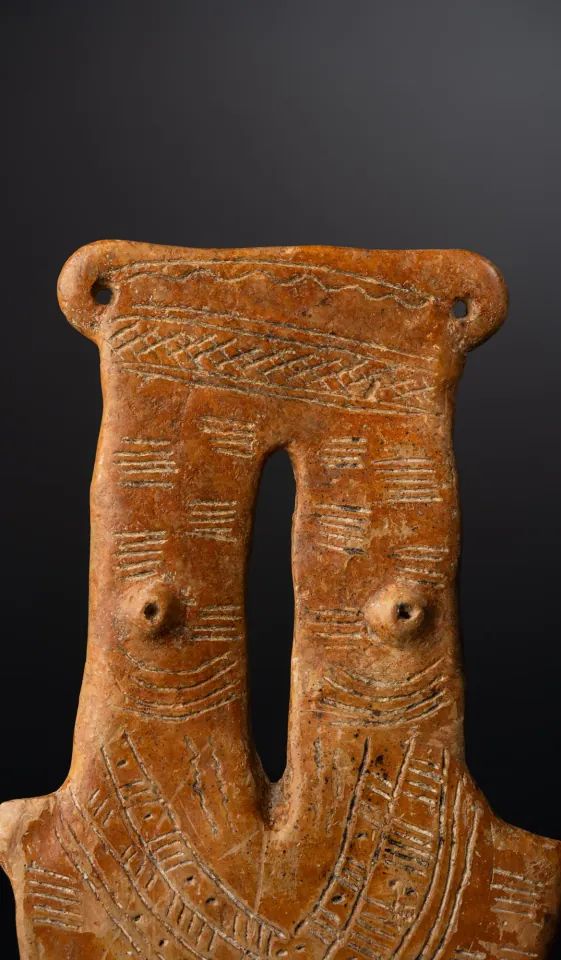
Red Polished Two-Necked Plank Figure
Middle Cypriot (Middle Bronze Age)

Spindle Whorl with Incised Herringbone Bands
Middle Cypriot (Middle Bronze Age)
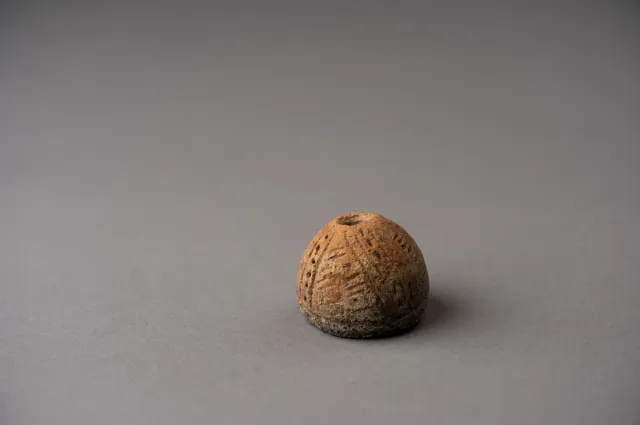
Red Polished Spindle Whorl with Incised Lattice and Dotted Bands
Middle Cypriot (Middle Bronze Age)
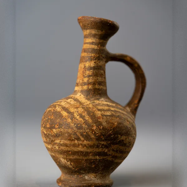
Base Ring II Bilbil Juglet with White-Painted Bands
Late Cypriot (Late Bronze Age)
Found at the places discussed
Objects in our catalogue, in museum collections, recorded as found at these sites.
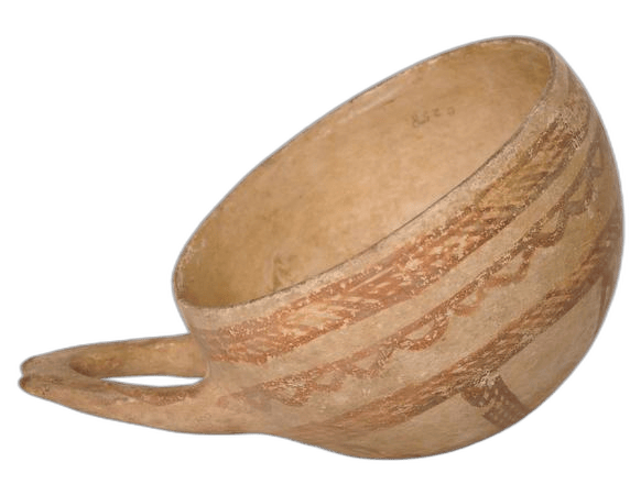


Background
Where to read more on this site before or after watching.
The site
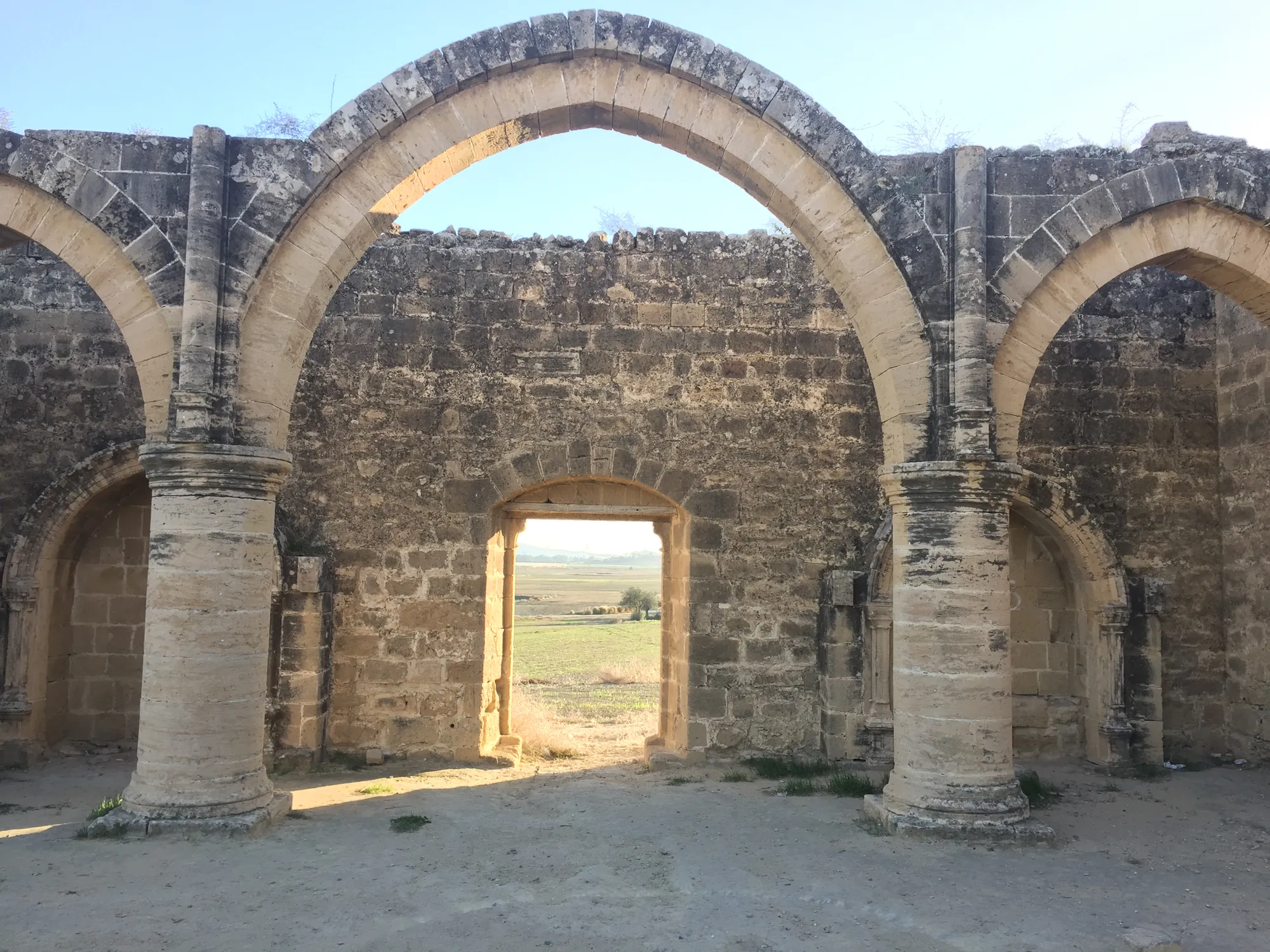
Agios Sozomenos
A cluster of Bronze Age sites on and below a limestone plateau where the Alykos meets the Gialias, about 13 km south of Nicosia: a fortified settlement at Dhali-Kafkallia, the forts of Barsak and Nikolidhes, a building at Glyka Vrysis, and a large settlement with workshops and a pithos storehouse at Djirpoulos and Ampelia. It was lived in from about 1750 BC until a destruction in the 12th century BC, after which its people are thought to have moved to Idalion.
In the compendium
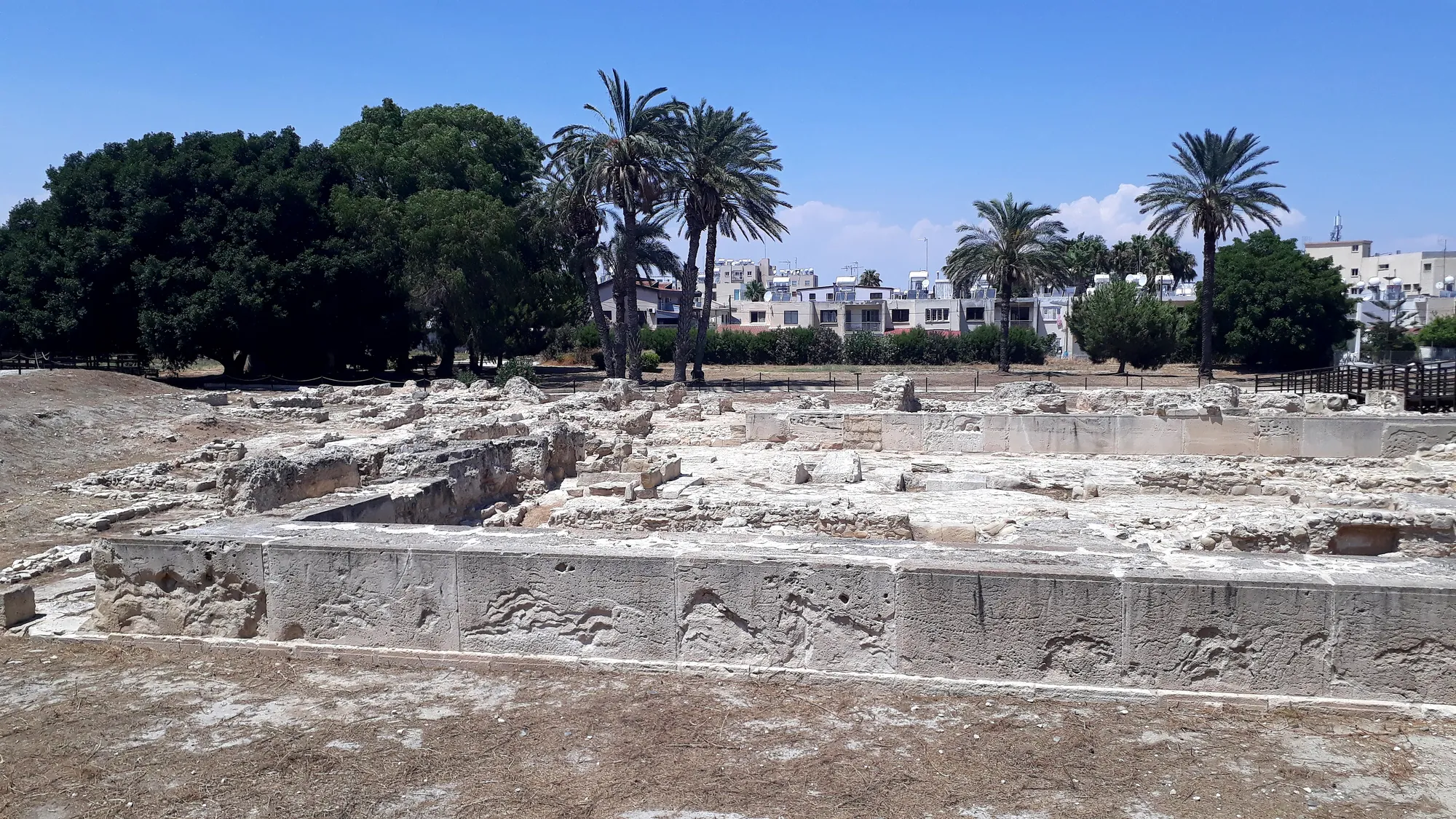
Ashlar Masonry
Squared, dressed stone used on Cyprus from about 1500 BC for gateways, tombs and the largest buildings of the Late Bronze Age towns, set below walls of mudbrick.
In the compendium
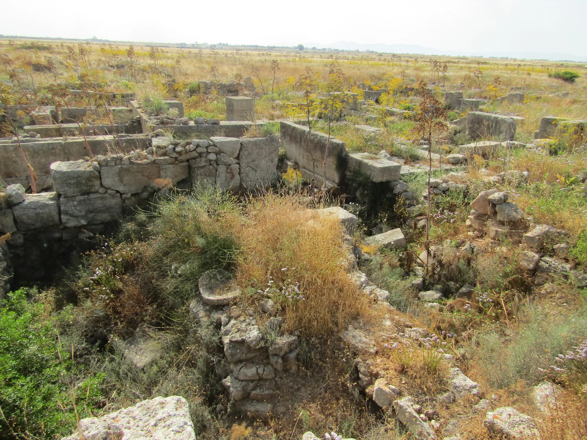
Late Bronze Age Towns and Buildings
How Late Bronze Age Cyprus built its first towns: street grids, large ashlar buildings with storage halls, courtyard houses, and the short-lived settlements of the twelfth century.
In the compendium
Food Storage in Ancient Cyprus: Pits, Pithoi and Storerooms
How Cypriots stored grain, oil and wine, from Chalcolithic pits and household jars to the great pithos halls of the Late Bronze Age towns.
Map of Cyprus
Places discussed in the talk
- Ground above 200, 500, 1,000 m
Places