
Conference paper·Archaeological Research Unit - University of Cyprus·2018·In Greek
Settled and Sacred Landscapes of Cyprus: Results of the Fourth Field Season, 2017
Settled and Sacred Landscapes of Cyprus, αποτελέσματα τέταρτης ερευνητικής περιόδου 2017
Chapters
About the video
Speaking in Greek, Athanasios Vionis of the University of Cyprus reports on the fourth season (July 2017) of the Settled and Sacred Landscapes of Cyprus (SSLaC) archaeological surface survey and field school. Co-directed with Giorgos Papantoniou and Doria Nicolaou in cooperation with the Department of Antiquities, the project investigates the enclosed valley of the Xeros River in the Larnaca district around Kofinou, Agios Theodoros, Alaminos and Menogeia, tracing settlement and land use from the Middle Chalcolithic to 1974.
Vionis outlines the methodology of the four-week 2017 season across the 2,500-hectare survey area. Student fieldwalkers systematically walked 150-metre-wide north-south transects spaced 150 metres apart, recording surface material on handheld computers using ArcPad. In parallel, Vasilis Trigkas completed aerial photography of the entire valley to generate an autonomous high-resolution digital elevation model for viewshed and cost-surface analyses. At the project base in nearby Khirokitia, Charis Paraskeva, Agata Dobosz and Anna Georgiadou catalogued prehistoric, Iron Age, Hellenistic, Roman and Early Byzantine pottery into the Simplex database.
The talk then reviews the diachronic settlement pattern. The earliest site, Alaminos-Zorzakis, where a house floor was recently exposed by a mechanical digger, is dated by Paraskeva to the Middle Chalcolithic, making it the easternmost site of that period known on the island. Early and Middle Bronze Age activity centres on the large settlement of Alaminos-Kambos, south and east of the medieval tower of Alaminos, previously partly excavated by Giorgos Georgiou. In the Cypro-Archaic period settlement shifted to the 13-hectare rural site around the later Byzantine church of Panagia at Kofinou. Storage vessels and amphorae scattered across the valley are attributed by Georgiadou to workshops in the sphere of Amathus, leading Vionis to suggest that the kingdom's eastern boundary may have reached beyond the Pentaschinos River towards Stavrovouni.
Kofinou remained the valley's central settlement through the Hellenistic, Roman, Early Byzantine, medieval and Ottoman periods, with GIS cost-surface analysis showing that the furthest arable land lay within forty minutes' walk. The principal discovery of the 2017 season was a nine-hectare Early Byzantine pottery workshop near the Xeros River in the north-east of the survey zone, identified from kiln furniture and misfired sherds. Producing tiles, water pipes, pithoi, transport jars, jugs and basins, its clay shows a distinct chemical signature in portable XRF analyses conducted by Andreas Charalambous.
From our collection
Pieces in the Drakopoulos collection of the kinds and periods this talk covers: Amphora.
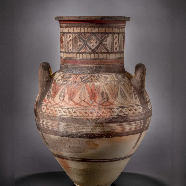
Bichrome IV Amphora with a Lotus-and-Bud Shoulder Frieze
Amphora
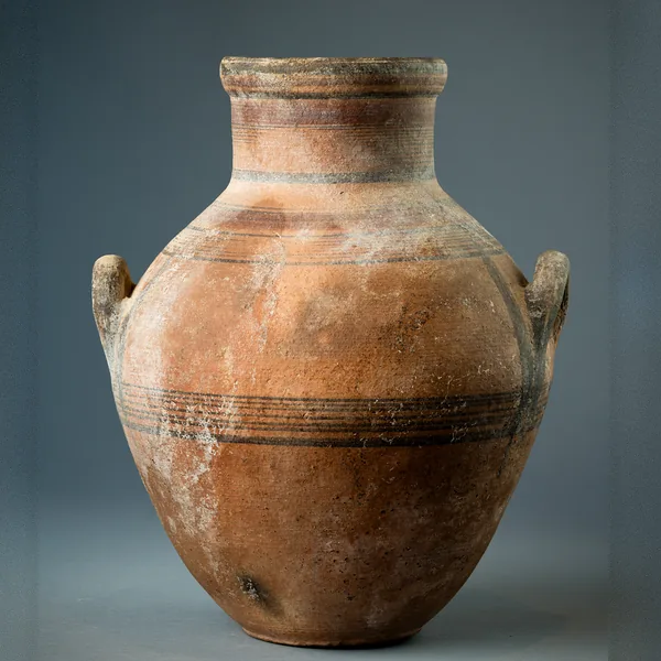
Bichrome IV Amphora with Shoulder Handles and Banded Decoration
Amphora
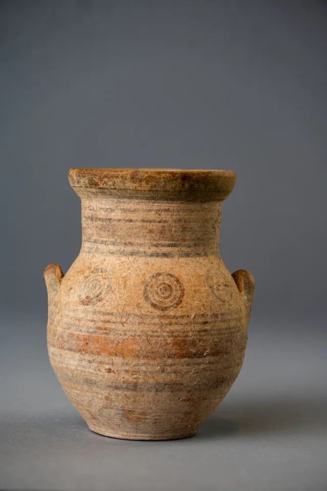
Bichrome IV Amphoriskos with Concentric Circles
Amphora
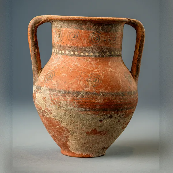
Bichrome Red Amphora with Concentric Circles and a Row of White Dots
Amphora
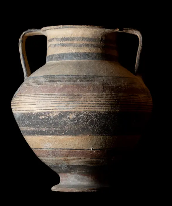
Bichrome Amphora on a Pedestal Foot with Wavy Lines on the Neck
Amphora
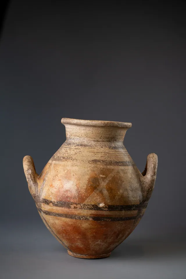
Red-Slipped Amphora with Pale Crosses on the Shoulder, probably Bichrome Red Ware
Amphora
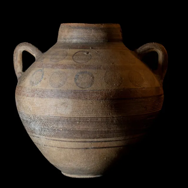
Globular Bichrome Amphora with Two Registers of Concentric Circles
Amphora
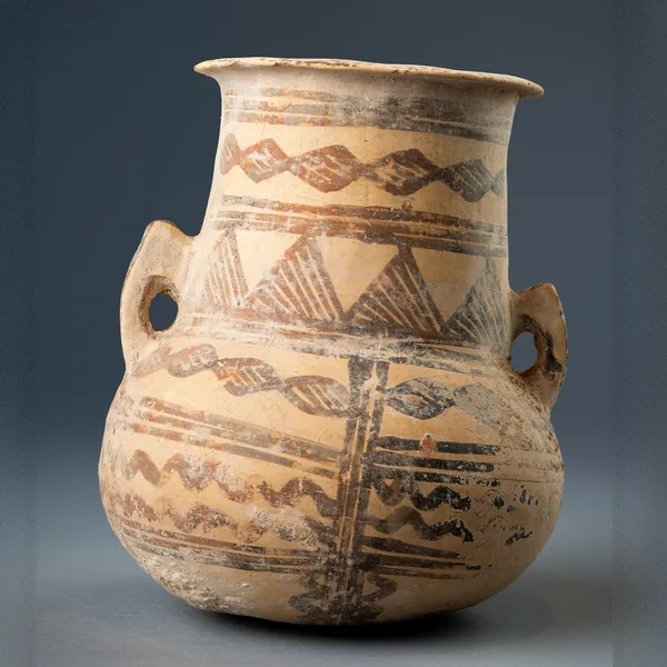
White Painted III-IV Amphora with Lozenge Chains and Hatched Triangles
Amphora
Found at the places discussed
Objects in our catalogue, in museum collections, recorded as found at these sites.


Background
Where to read more on this site before or after watching.
The site
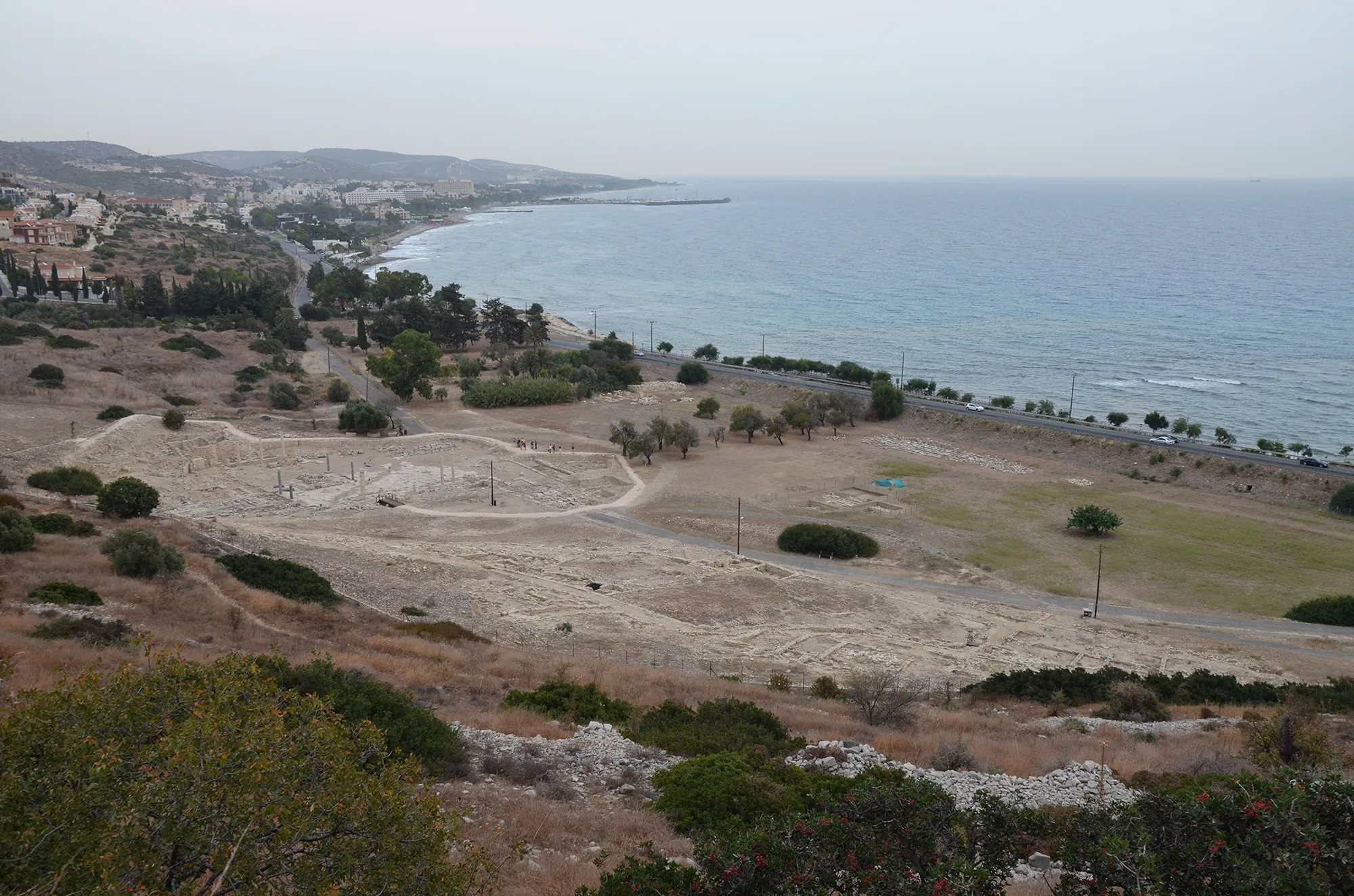
Amathus
Amathus was the capital of one of the Iron Age kingdoms of Cyprus, on a coastal hill about 10 km east of Limassol. It was founded on an empty site in the 11th century BC and lived in until the end of the 7th century AD. Its acropolis carried a sanctuary of Aphrodite and the kings' palace; its people kept the island's old non-Greek language, Eteocypriot, at least until the time of Alexander.
In the compendium
Amphora
A closed jar with two opposed handles, made in Cyprus in belly-handled and vertical-handled painted series and as a basket-handled transport jar.
In the compendium
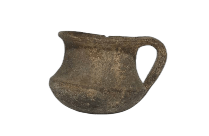
Coarse Wares, Pithoi and Cooking Pots
The heavily tempered storage, cooking and utility pottery of Cyprus from the Chalcolithic to the Cypro-Classical period, classified mainly by fabric and function.
The period
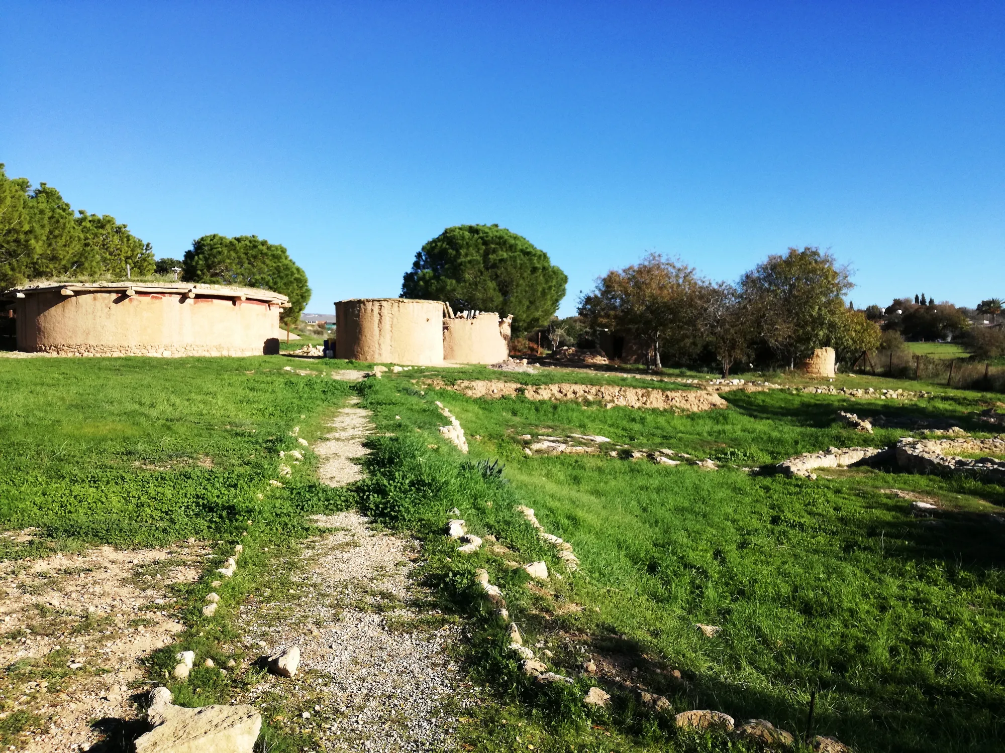
Chalcolithic
The period c. 3900–2500 BCE of circular villages, Red-on-White pottery, picrolite cruciform figures and the island's first small-scale copper working.
Map of Cyprus
Places discussed in the talk
- Has a page on this site
- Other places
- Ground above 200, 500, 1,000 m
Places
- 1Kofinou (approx.)
- 2Alaminos (approx.)
- 3Amathus