
Lecture·Archaeological Research Unit - University of Cyprus·2021
Reconstructing the Palaeoenvironment of the Xeros River Valley in Cyprus: A Geoarchaeological Approach
Reconstructing the paleoenvironment of the Xeros River Valley in Cyprus: a geoarchaeological approach
Pantelitsa Mylona
Chapters
About the lecture
Pantelitsa Mylona of the University of Cyprus presents the findings of the GeoArchX project, a geoarchaeological study of the Xeros River Valley in the Larnaca district. Conducted within the framework of the Settled and Sacred Landscapes of Cyprus (SeSaLaC) survey project directed by Athanasios Vionis, Giorgos Papantoniou and Doria Nicolaou, the project uses alluvial geomorphology to reconstruct the valley's climate and landscape from the Neolithic to the Ottoman period.
Mylona begins with the geological and geomorphological setting of the river, which flows from the pillow lavas of Stavrovouni Mountain through the calcareous Lefkara and Pachna formations past Kofinou and Alaminos, joined by the Argaki tis Mavrogis and Alaminos tributaries. In the middle sector, the river has formed two main alluvial terraces. To trace the river dynamics and pedological history, six stratigraphic profiles (four along the Xeros main stream and two on the Alaminos tributary) were sampled for granulometry, X-ray fluorescence, magnetic susceptibility, and radiocarbon dating of buried palaeosols.
A principal components analysis separates the profiles by sediment origin and grain size. Walking through each sequence in detail, Mylona shows that profiles XV1, XV10, and XV6 record fine floodplain sediments and multiple palaeosols formed between the 8th and 3rd millennia BC, indicating humid conditions, regular river flow, and a valley floor two to three metres lower than today in the 6th millennium BC. She notes a possible sedimentary discontinuity around the 6.2 ka BC cooling event, though without the channel incision seen in the 3rd millennium BC in other Cypriot valleys such as the Yialias, Akaki, and Maroni. Profile XV8 on the Alaminos tributary records coarser torrential deposits and four palaeosols from the 5th millennium BC, while XV7 dates to the Byzantine period at the beginning of the Medieval Warm Period and XV9 spans from the 9th millennium BC to the 16th century AD.
In the final section, Mylona correlates these environmental findings with the valley's settlement history. Although the fertile Neolithic floodplain lacked permanent riverine sites, Early and Middle Bronze Age occupation is attested at Alaminos-Kambos, followed by sparse Late Bronze Age presence and renewed rural settlement around Kofinou in the Cypro-Archaic and Cypro-Classical periods. In Late Antiquity, humid conditions and fine sedimentation supported dense rural settlement around Panagia tis Kofinou and a pottery workshop near Argaki tis Mavrogis. In the Venetian and Ottoman periods, regular river flow powered two watermills along the Xeros alongside cereal cultivation near the Alaminos tower.
From our collection
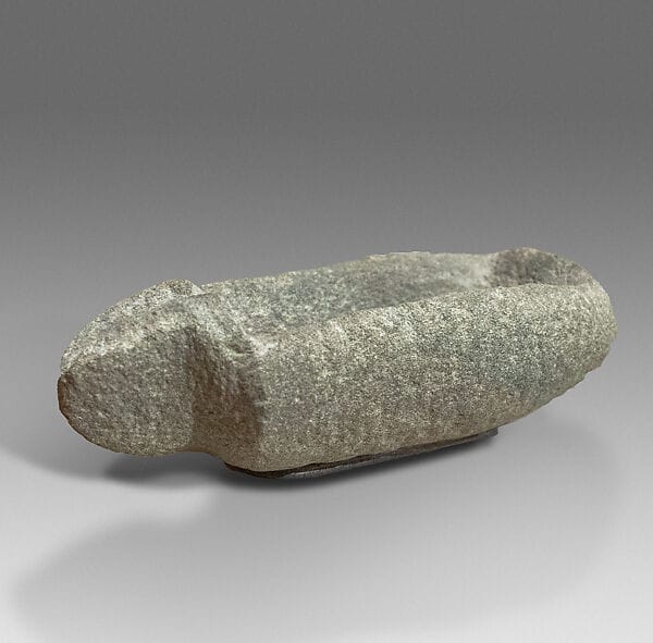
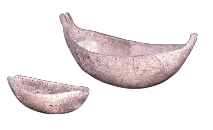
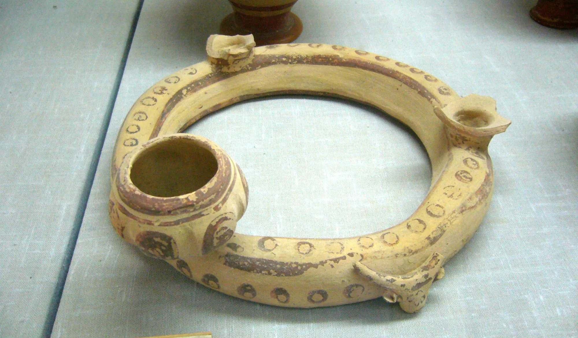
Pieces in the Drakopoulos collection of the kinds and periods this talk covers: Neolithic, Cypro-Archaic.
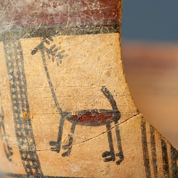
Bichrome Skyphos with Stags in Metopes
Cypro-Archaic
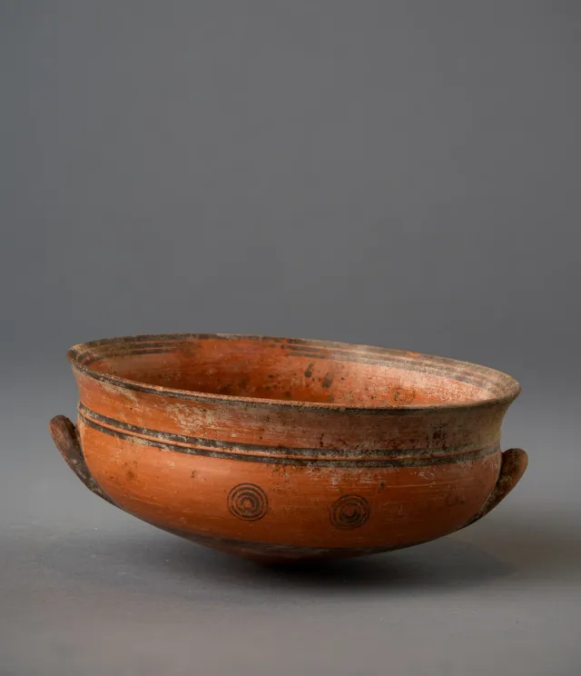
Black-on-Red Two-Handled Bowl with Raised Flaring Rim
Cypro-Archaic
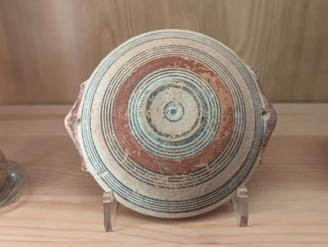
Bichrome IV Bowl with Red-Painted Pierced Lug Handles
Cypro-Archaic
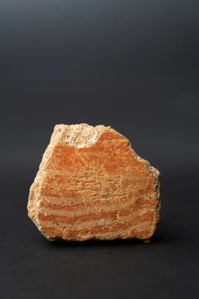
Combed Ware Bowl Fragment with Parallel Bands
Neolithic
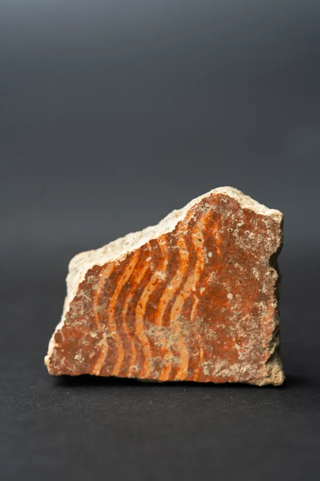
Combed Ware Bowl Fragment with Multiple Wavy Bands
Neolithic
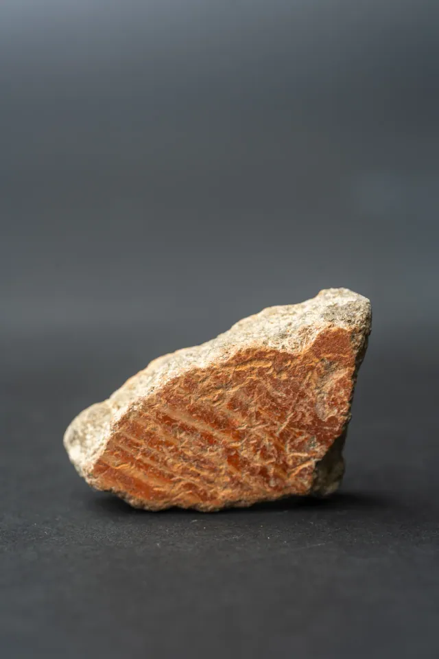
Combed Ware Bowl Fragment with Oblique Bands
Neolithic
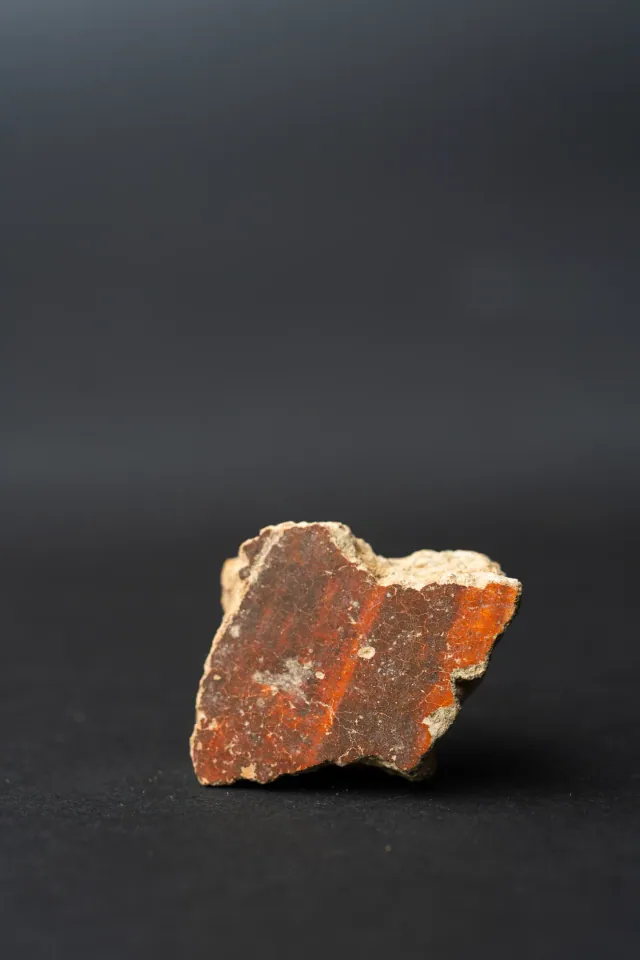
Red Lustrous Ware Body Sherd with Fire-Mottled Slip
Neolithic
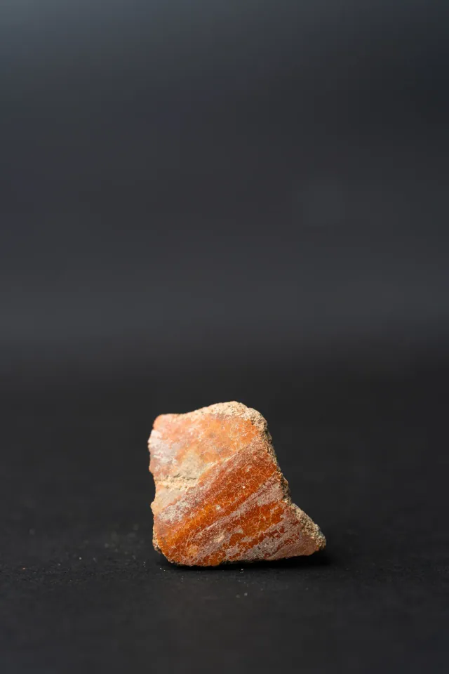
Red Slip Ware Body Sherd with Streaked Slip
Neolithic
Found at the places discussed
Objects in our catalogue, in museum collections, recorded as found at these sites.


Background
Where to read more on this site before or after watching.
The site
Maroni
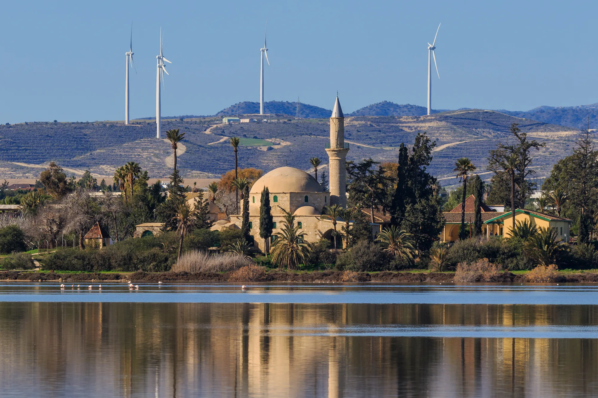
A Late Bronze Age centre of several parts in the lower Maroni valley: the Ashlar Building and West Building at Vournes, the tombs, buildings and anchorage at Tsaroukkas on the shore, and smaller localities around them. It was settled from about 1650 BC and abandoned around 1200 BC. From about 750 BC until about 200 BC the ruin of the Ashlar Building served as a rural sanctuary.
In the compendium
Climate and Landscape in Ancient Cyprus
What the island's own records show about sea level, coasts, rainfall and forests in Cyprus from the first farmers to the Hellenistic period.
The period
Neolithic
The period c. 9000–3900 BCE in which farmers from the mainland settled Cyprus, built villages of circular houses, and later adopted pottery.
Map of Cyprus
Places discussed in the talk
- Has a page on this site
- Other places
- Ground above 200, 500, 1,000 m
Places
- 1Kofinou (approx.)
- 2Alaminos (approx.)
- 3Maroni
- 4Khirokitia
- 5Kalavasos-Tenta