
Conference paper·Archaeological Research Unit - University of Cyprus·2019·In Greek
The UnSaLa-CY Project on the Sacred Topography of Cyprus
Unlocking the Sacred Landscapes of Cyprus (UnSaLa-CY)
Chapters
About the video
Giorgos Papantoniou presents the UnSaLa-CY research project on Cypriot sacred topography, co-directed with Athanasios K. Vionis at the University of Cyprus. Given in Greek, the talk outlines how the project studies the island's sacred sites diachronically from the Late Bronze Age to Late Antiquity.
Papantoniou first traces the origins of the wider UnSaLa Mediterranean research network, formed by Trinity College Dublin, the Institute for Mediterranean Studies in Crete and the University of Cyprus, and lists the team of specialists working in collaboration with the Settled and Sacred Landscapes of Cyprus (SeSaLaC) project in the Xeros River valley.
The lecture then sets out the theoretical framework. While scholarship has often classified Cypriot sanctuaries by deity or cult type in isolation from their surroundings, UnSaLa-CY examines their spatial and socio-political context. Papantoniou notes a major change between the Late Bronze Age and the Early Iron Age: the appearance of public extra-urban sanctuaries outside urban boundaries. Their proliferation from the Cypro-Archaic period relates to the consolidation of the Cypriot city-kingdoms. Monumental limestone sculpture depicting officials and rulers, including figures with Egyptianizing crowns or diadems, comes largely from these rural sanctuaries and projected royal and aristocratic authority over territory, agricultural land and copper sources.
Under Ptolemaic rule in the Hellenistic period and after the abolition of the city-kingdoms, the state gradually neglected these territorial sanctuaries. By the Roman period most had gone out of use; those that survived were either minor rural shrines or great sanctuaries of Bronze Age origin such as Palaepaphos, whose conical cult image remained an emblem on Roman coins until the 3rd century AD, alongside monumental Greco-Roman temples at urban centres like Amathus and Kourion. After the earthquakes of the 4th century AD, provincial governors and city councils chose not to rebuild the destroyed pagan temples. In the 5th to 7th centuries AD, bishops established cathedrals and basilicas in the cities and across the countryside, including the basilica investigated by SeSaLaC beneath the church of Panagia at Kofinou in the Xeros valley. The talk concludes with the project's GIS spatial analyses, seven work packages and conference series.
From our collection
Pieces in the Drakopoulos collection of the kinds and periods this talk covers: Stone sculpture, Cypro-Archaic, Hellenistic.
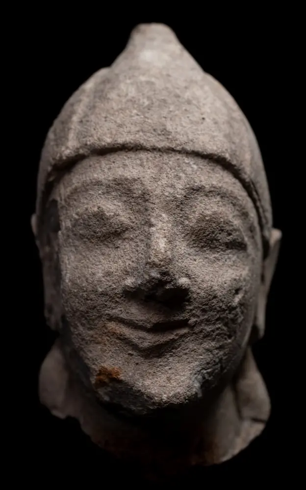
Limestone Head of a Beardless Votary in a Conical Helmet
Stone sculpture
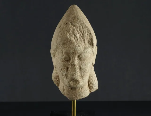
Weathered Limestone Head of a Votary in a Tall Pointed Cap
Stone sculpture
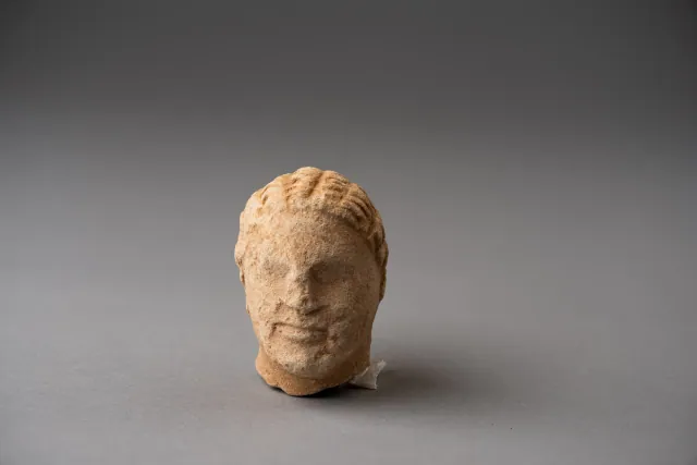
Limestone Head of a Boy, probably from a Temple Boy Statuette
Stone sculpture
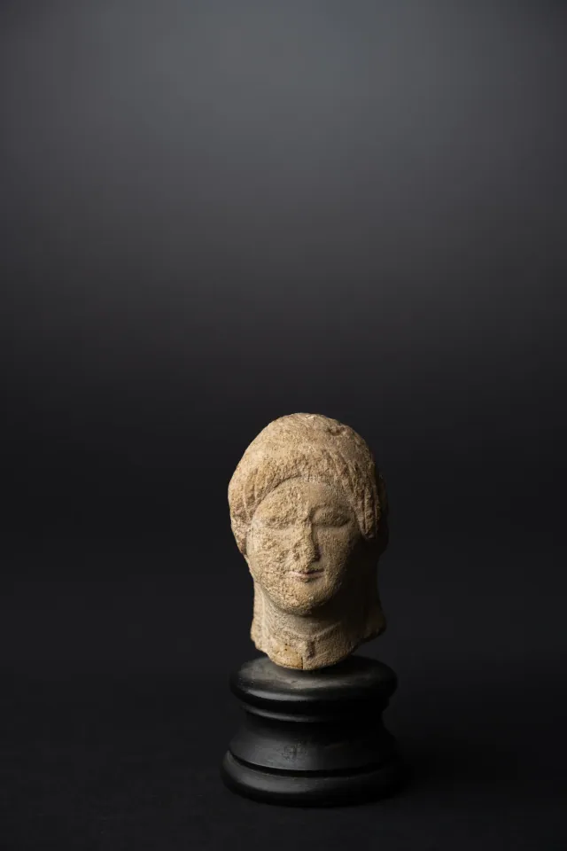
Limestone Head of a Votary with a Wreath
Stone sculpture
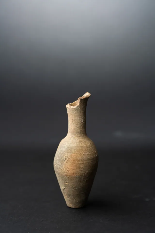
Fusiform Unguentarium
Hellenistic
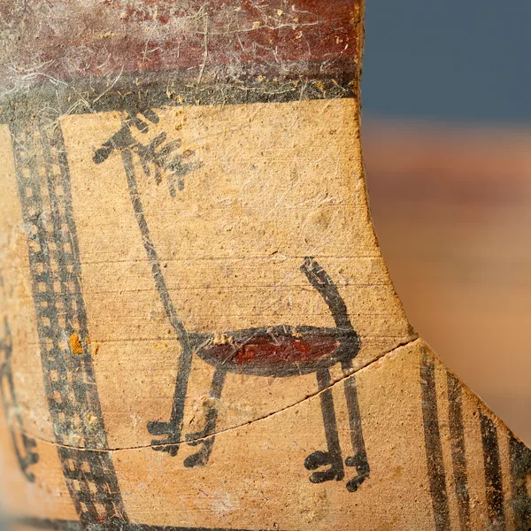
Bichrome Skyphos with Stags in Metopes
Cypro-Archaic
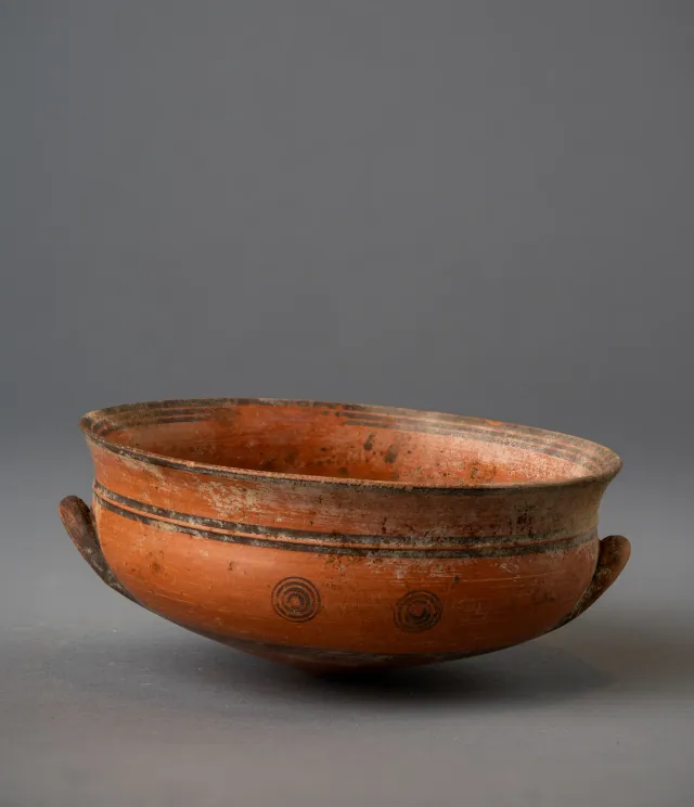
Black-on-Red Two-Handled Bowl with Raised Flaring Rim
Cypro-Archaic
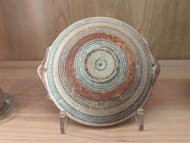
Bichrome IV Bowl with Red-Painted Pierced Lug Handles
Cypro-Archaic
Found at the places discussed
Objects in our catalogue, in museum collections, recorded as found at these sites.
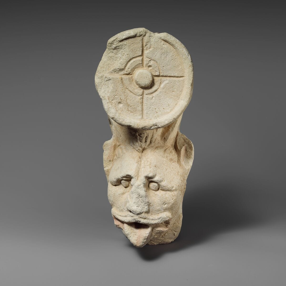
Fragment of a limestone throne (?) with the head of a horned lion
Amathus · Metropolitan Museum of Art
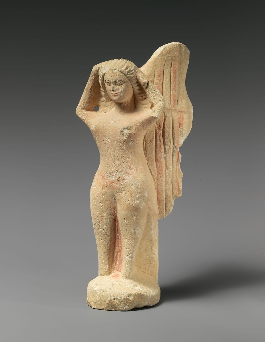
Limestone statuette of a mourning siren
Salamis · Metropolitan Museum of Art

Limestone temple boy
Kourion · Metropolitan Museum of Art

Limestone statuette of a temple boy
Kourion · Metropolitan Museum of Art
Background
Where to read more on this site before or after watching.
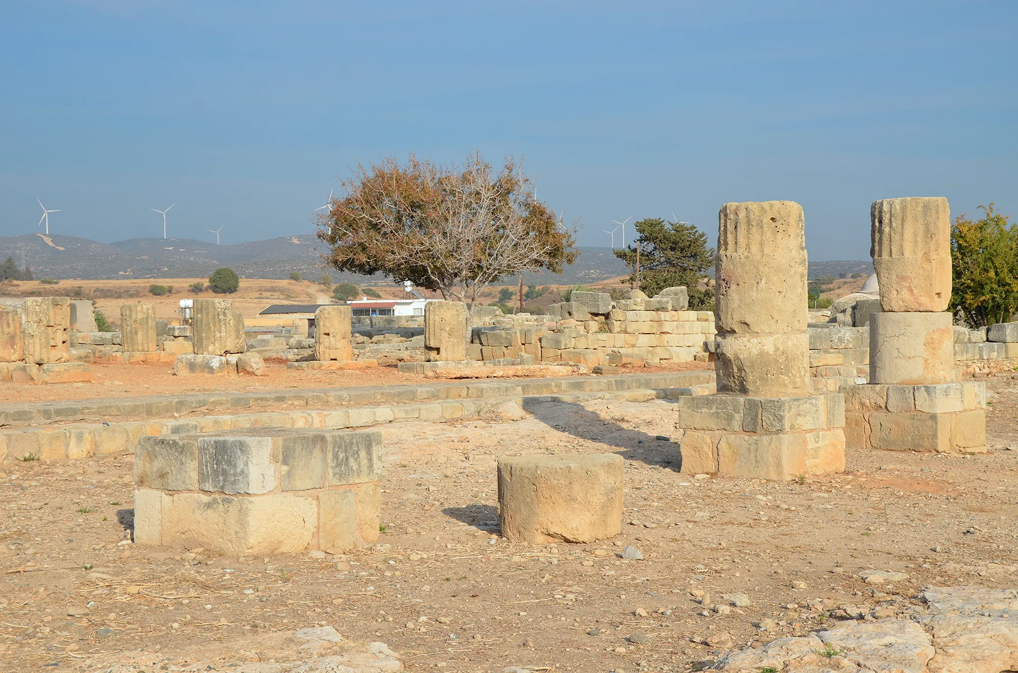
The site
Palaepaphos (Kouklia)
Palaepaphos, Old Paphos, lies under and around the village of Kouklia in western Cyprus. Founded in the Middle Bronze Age, it was the only large town of the south-west until the early Hellenistic period, the seat of the kings of Paphos and the site of the sanctuary of the Paphian goddess, Aphrodite, worshipped here from about 1200 BC to the end of the 4th century AD.
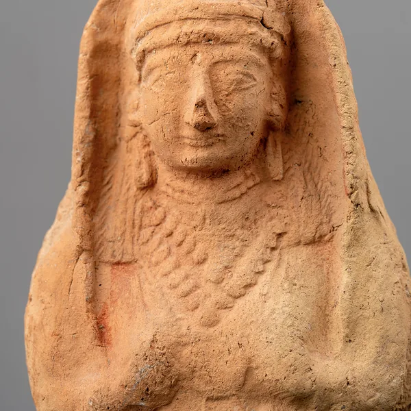
In the compendium
Iron Age Sanctuaries
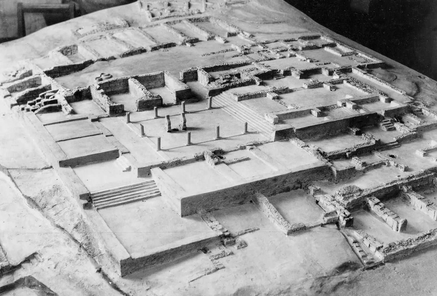
The Cypriot Iron Age sanctuary was a walled open-air court with an altar, sacred trees and small roofed rooms; Greek-style temples arrived only under Rome.
In the compendium
Iron Age Cities and Palaces
The capitals of the Iron Age kingdoms of Cyprus, their palaces at Vouni, Amathus, Idalion and Palaepaphos, their houses, and the volute and Hathor capitals of the period.
In the compendium
Archaic Limestone Statues
The limestone votive statues and statuettes dedicated in Cypriot sanctuaries of the Cypro-Archaic period, many in Egyptianizing dress.
Map of Cyprus
Places discussed in the talk
- Has a page on this site
- Other places
- Ground above 200, 500, 1,000 m