
Keynote·CAARI Cyprus·2020
Surveillance, Survey and Local Knowledge: Landscape Relations in Late 19th Century Cypriot Archaeology
Michael Given and Stephen Lillie
Chapters
About the lecture
This first session of the two-day conference Empire and Excavation, jointly organised by CAARI and the British Museum, opens with welcomes from Lindy Crewe and the British High Commissioner Stephen Lillie, an introduction to the historiography of Cypriot archaeology by Thomas Kiely, and a programme overview by Anna Reeve, followed by Michael Given's opening keynote lecture.
Kiely sets out the themes of the conference, starting from Étienne de Lusignan's 16th-century account of a tomb opened at Palaepaphos (Kouklia) in 1564 and tracing the historiography of Cypriot archaeology from the 1998 British Museum colloquium held in memory of Olivier Masson and edited by Veronica Tatton-Brown to recent work on archives, colonial contexts, and museum reserves.
In the keynote lecture, Given examines the relationship between colonial ways of seeing and local knowledge of the land in Cyprus between the 1870s and about 1910, drawing many of his examples from the countryside around Kourion. He argues that archaeological knowledge is created through performance and relationships in the field rather than through colonial narratives alone. He begins with illustrations of Luigi Palma di Cesnola directing tomb diggers from a hilltop and surveying the Kourion plain through a telescope, and with Herbert Kitchener's survey of Cyprus. Even Kitchener's map and the later cadastral maps of the 1910s and 1920s, he notes, depended on listening to villagers who supplied church names, locality names (topothetias), and the positions of ruins. British Museum excavation notebooks similarly show field observations being edited into objective published reports while local participants are progressively written out.
Given then turns to Cypriot understandings of the past that operated alongside foreign fieldwork. Using George McFadden's 1950s re-excavation of the Kaloriziki tomb near Kourion, he recounts how Sokratis Stylianou of Episkopi, who had dug the tomb without a licence fifty years earlier with Markos Eleftheriou and Mavros Savvas, guided McFadden back to the exact spot between a fig tree and a three-trunked carob tree. He closes with material practices through which Cypriot communities maintained links with antiquity: medieval spolia set over the doorways of the church of Archangel Michael Tripiotis in Nicosia, Roman cippi reused as icon stands at Ayios Ermoyenis and Mathiatis, discovery accounts recorded by the pilgrim Vasily Barsky, and the 18th-century wall painting in the church of Saint John in Nicosia depicting Archbishop Anthemios's excavation of the relics of Saint Barnabas in 488.
Background
Where to read more on this site before or after watching.
The site
Palaepaphos (Kouklia)
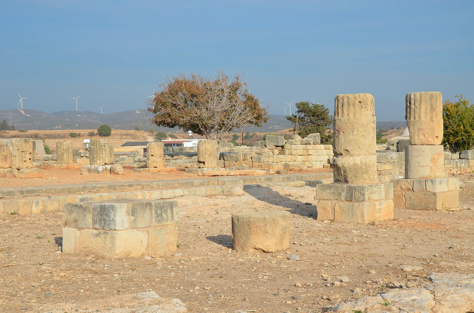
Palaepaphos, Old Paphos, lies under and around the village of Kouklia in western Cyprus. Founded in the Middle Bronze Age, it was the only large town of the south-west until the early Hellenistic period, the seat of the kings of Paphos and the site of the sanctuary of the Paphian goddess, Aphrodite, worshipped here from about 1200 BC to the end of the 4th century AD.
In the compendium
Illicit Digging under British Rule, 1878 to 1960
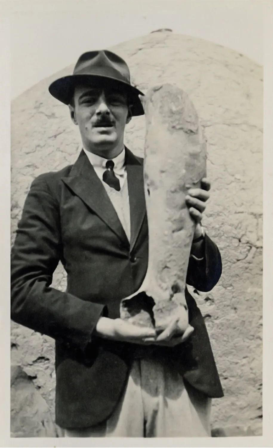
How unlicensed tomb-digging continued in Cypriot villages under British rule, how the Museum, the police and the Department of Antiquities answered it, and whether the lawful trade encouraged it.
In the compendium
Luigi Palma di Cesnola: The Largest Export of Cypriot Antiquities
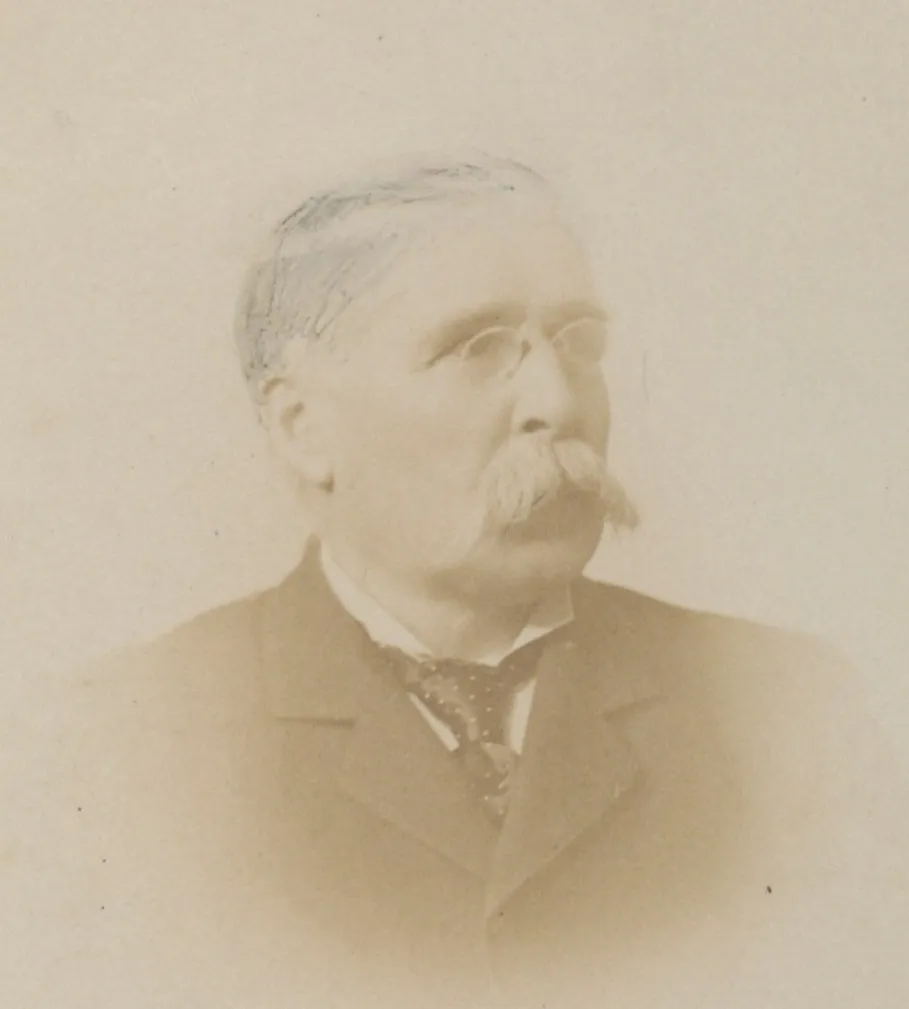
The American consul whose roughly 35,000 objects left Cyprus under Ottoman firmans for the Metropolitan Museum, and what his digging and sales mean for the trade.
Map of Cyprus
Places discussed in the talk
- Has a page on this site
- Other places
- Ground above 200, 500, 1,000 m