
Lecture·Archaeological Research Unit - University of Cyprus·2017
Conviviality, resilience and control: the sugar and flour mills of Medieval and Ottoman Cyprus
Chapters
About the lecture
Michael Given of the University of Glasgow compares two types of water-powered installations in medieval and Ottoman Cyprus: village grain mills and industrial sugar refineries. Drawing on the philosopher Ivan Illich's concept of conviviality, defined as autonomous and creative interdependence among people and between people and their environment, Given examines what makes rural technologies and social institutions resilient during periods of environmental and economic stress.
The first case study draws on fieldwork by the Troodos Archaeological and Environmental Survey Project in the Karkotis valley, fed by Mount Olympus. Because only the Karkotis River had sufficient gradient and volume to drive watermills, villagers from surrounding valleys without enough water, such as Ayios Theodoros, traveled there to grind their grain. Given argues that these Ottoman-period flour mills functioned as nodes of inter-village communication and social negotiation, managed through shared community water rights documented in villages such as Linou. This interdependence was fragile, however, as illustrated by oral histories of an eighteenth-century landowner, Ahmet Aga of Petra, who diverted water across the watershed into the Atsas valley to power his own mills and estate.
Given contrasts these community grain mills with the medieval sugar plantations and refineries of the Knights of St John at Kolossi, the Venetian Cornaro family at Episkopi Saraya, and the royal domain at Kouklia. Built on a production-line model reflecting Venetian ideas of the circular machine, these complexes were sited on high ground or beneath towers to maintain visual control over enslaved and corvée laborers. The sugar industry transgressed social and environmental limits through monoculture, massive consumption of firewood for boiling cauldrons, and water disputes such as the 1468 diversion of the Kouris River by the Hospitallers.
During the climate stresses of the Little Ice Age, characterized by cooler temperatures, drought and severe flash floods, the sugar industry declined. The floodplain grain mills, though vulnerable to flood-borne boulders, persisted into the mid-twentieth century. Given examines an apotropaic cross and monogram inscription dated 1690 on a mill in the Karkotis valley, deciphered by Emmanuel Moutafov as an abbreviation of Psalm 29 invoking the Lord over the flood, alongside the last working watermill at Evrychou, which survived by grinding wheat for traditional wedding dishes. In the discussion afterwards, audience members and the speaker consider sugar export versus local sweeteners such as honey and carob syrup, church and dragoman mill ownership, underground water channels, and flour production for Ottoman navy biscuits.
Background
Where to read more on this site before or after watching.
The site
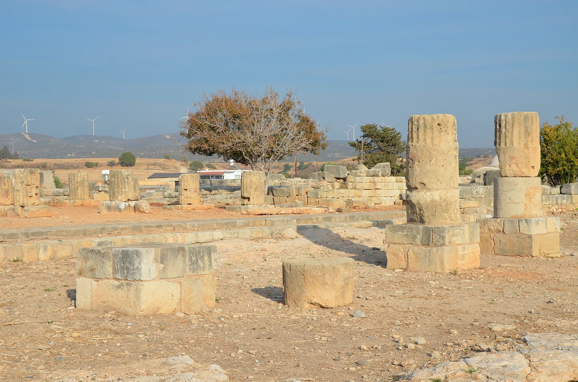
Palaepaphos (Kouklia)
Palaepaphos, Old Paphos, lies under and around the village of Kouklia in western Cyprus. Founded in the Middle Bronze Age, it was the only large town of the south-west until the early Hellenistic period, the seat of the kings of Paphos and the site of the sanctuary of the Paphian goddess, Aphrodite, worshipped here from about 1200 BC to the end of the 4th century AD.
In the compendium
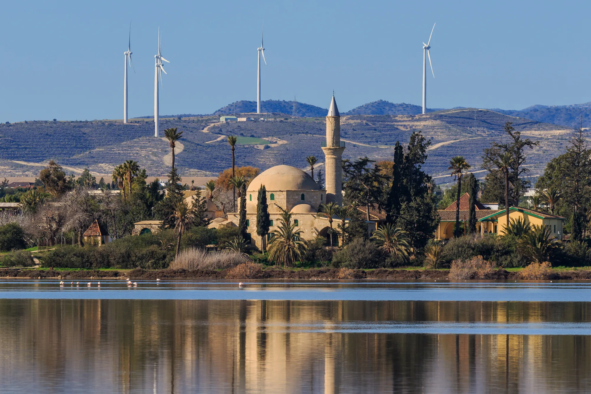
Climate and Landscape in Ancient Cyprus
What the island's own records show about sea level, coasts, rainfall and forests in Cyprus from the first farmers to the Hellenistic period.
In the compendium
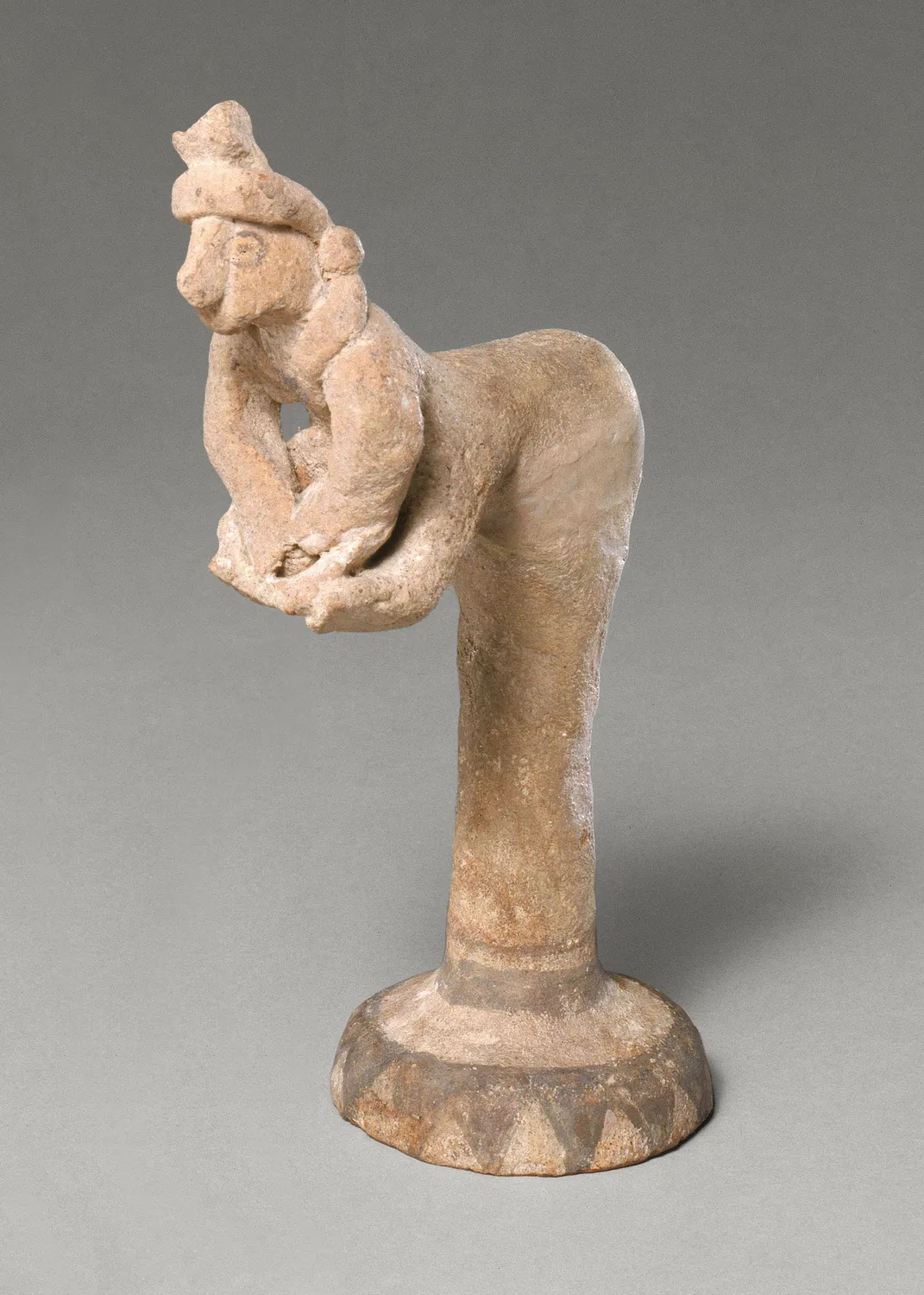
Food and Diet in Ancient Cyprus
What Cypriots grew, herded, hunted, cooked and drank from the first Neolithic villages to the end of the Cypro-Archaic period.
Map of Cyprus
Places discussed in the talk
- Has a page on this site
- Other places
- Ground above 200, 500, 1,000 m
Places
- 1Kolossi (approx.)
- 2Kouklia
- 3Linou (approx.)
- 4Evrychou (approx.)
- 5Ayios Theodoros (approx.)