
Lecture·CAARI Cyprus·2024
Creating Narratives for the Roman and Late Roman Copper Production in the Central Northern Troodos
Chapters
About the lecture
Kristina Winther-Jacobsen of the University of Copenhagen and Angus Graham of Uppsala University present the theoretical framework and preliminary findings of Life at the Furnace (LAF), a field project investigating Roman and Late Antique copper production in the central northern Troodos foothills. Situated geographically between the earlier Troodos Archaeological and Environmental Survey Project (TAESP) and the Sydney Cyprus Survey Project (SCSP), the project takes a bottom-up, settlement-ecological approach centred on the Peristerona River valley and the small smelting site at Agia Marina Xyliatou-Mavrovouni.
Graham describes the physical setting of the Mavrovouni slag heap in the geological contact zone between pillow lavas and fan conglomerates, alongside a potential collapsed adit and a rock-cut cistern located 200 metres from the Peristerona River. Because the river is dry for much of the year, the cistern raises questions about the seasonality of smelting and water storage for ore processing and the workforce. Comparing Mavrovouni with the Lagoudhera Valley slag heap recorded by TAESP, the speakers show that while large slag cakes with manganese flux, radiocarbon dates and Late Roman 1 amphora fragments place the smelting itself in the 5th to mid-7th centuries AD, surface pottery at both sites spans from the Iron Age to the later periods.
Winther-Jacobsen outlines the discrete settlement system in the narrow Peristerona valley corridor, noting a site at Kato Moni-Pati, where crushed slag and a slagged tile were found 800 metres south of the heap, and a second Roman and Chalcolithic site near Kato Moni. Graham then turns to fuel supply and environmental questions, citing Lina Kassianidou's charcoal analyses from Skouriotissa and the Lagoudhera Valley showing over 80 percent Pinus brutia. Rather than assuming simple human-induced deforestation, the project combines palaeoclimatic studies of the Roman Warm Period, 32 soil profiles, optically stimulated luminescence dating, and a LiDAR survey of the pine-covered upper valleys to test for managed woodland and charcoal production features.
In the final section, Winther-Jacobsen examines transport and settlement hierarchy. Tracing Roman roads crossing the Peristerona towards Soli, Tamassos and possibly Lapithos, she contrasts the small foothill sites with the luxurious Roman villa at Akaki and the dense Hellenistic and Roman cemeteries around Morphou Bay. The talk closes with the problem of identifying slave or convict labour in the archaeological record and with Cyprus's role alongside Jordan in expanding copper production during Late Antiquity after Spanish mines declined in the 2nd century AD.
From our collection
Pieces in the Drakopoulos collection of the kinds and periods this talk covers: Hellenistic.
The Drakopoulos collection →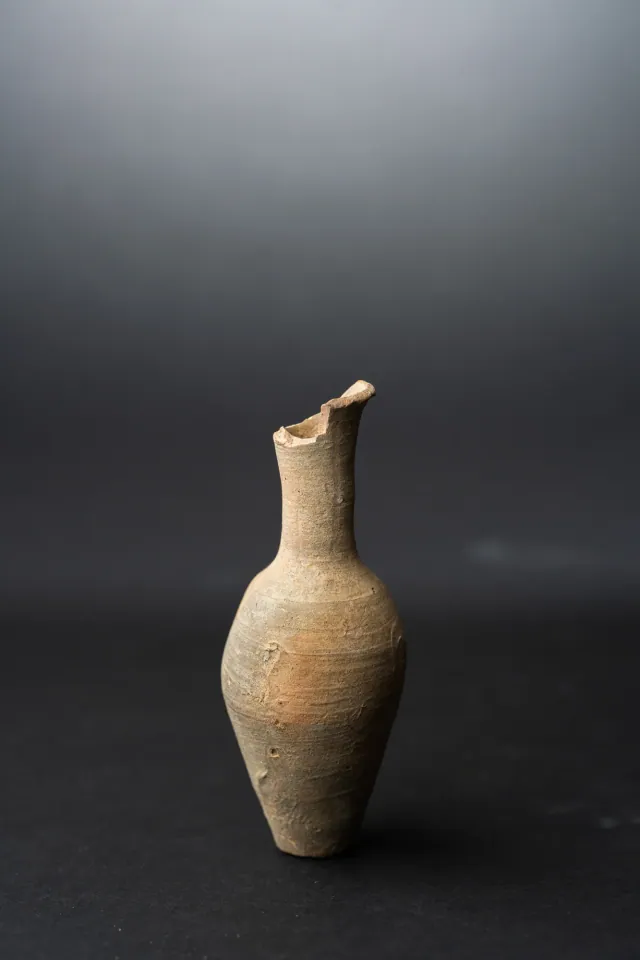
Background
Where to read more on this site before or after watching.
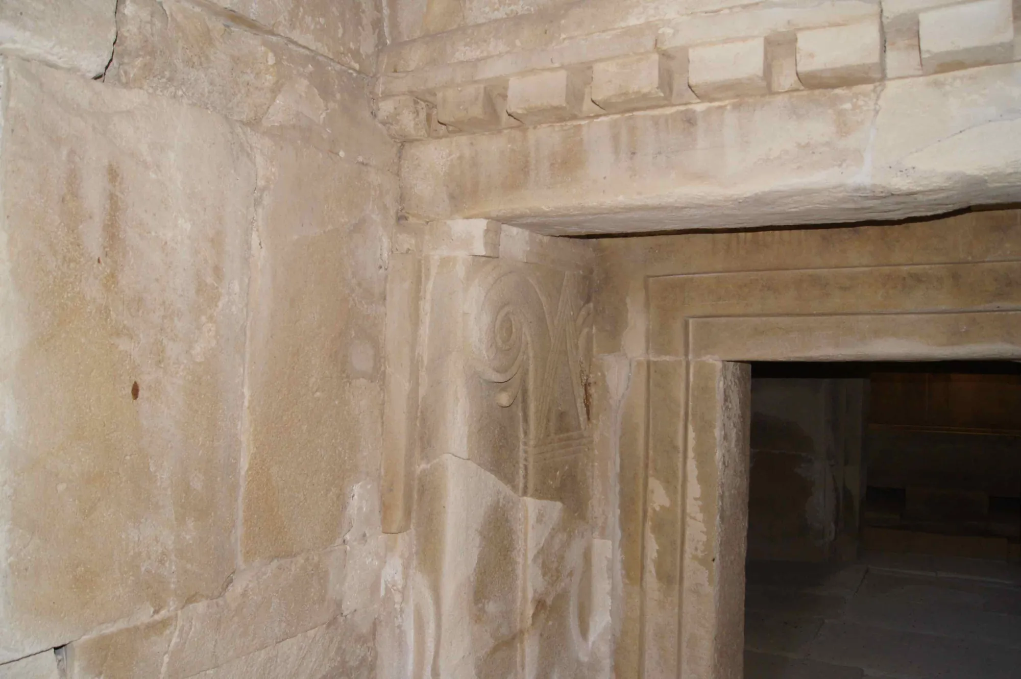
The site
Tamassos
Tamassos was one of the Iron Age kingdoms of Cyprus, at the modern village of Politiko in the copper-bearing foothills of the Troodos. It is named among the ten Cypriot kingdoms on the prism of Esarhaddon (673/2 BC), was sold by its last king Pasikypros to Pumiathon of Kition in the 4th century BC, and is known for its built royal tombs, a sanctuary of Aphrodite-Astarte beside copper workshops, and the sanctuary of Apollo at Frangissa.
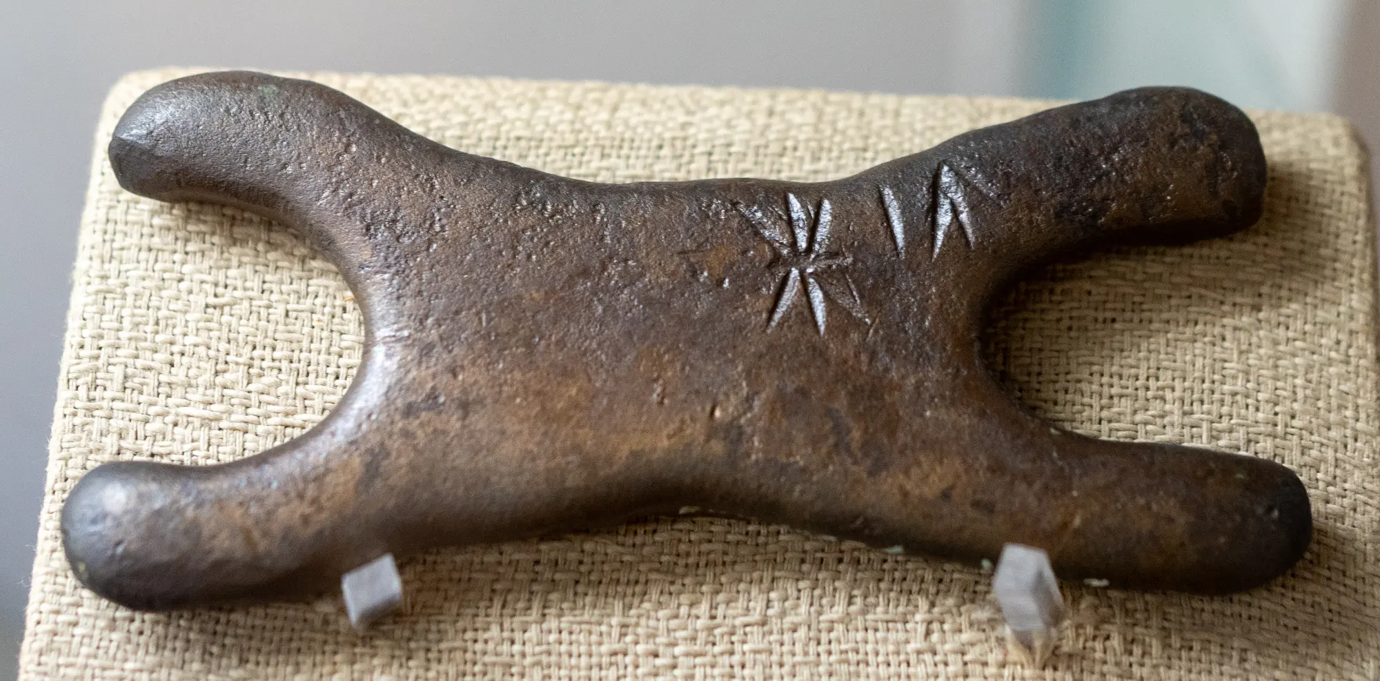
In the compendium
Copper Metallurgy in Ancient Cyprus
The mining, smelting and casting of the Troodos sulphide ores, from hammered Chalcolithic native copper to Late Bronze Age oxhide ingots and Archaic slag heaps.
In the compendium
Climate and Landscape in Ancient Cyprus
What the island's own records show about sea level, coasts, rainfall and forests in Cyprus from the first farmers to the Hellenistic period.
In the compendium
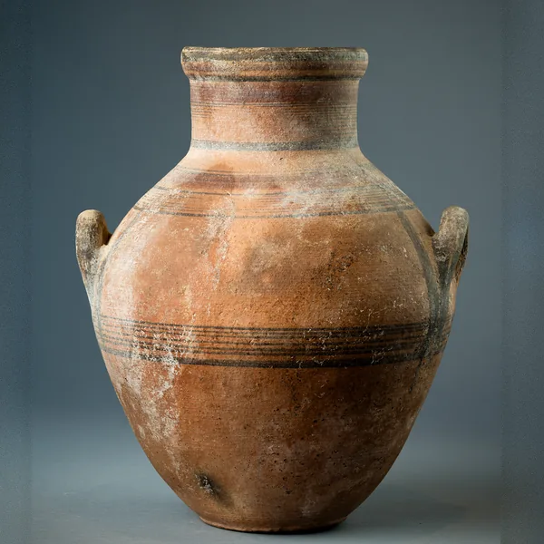
Amphora
A closed jar with two opposed handles, made in Cyprus in belly-handled and vertical-handled painted series and as a basket-handled transport jar.
Map of Cyprus
Places discussed in the talk
- Has a page on this site
- Other places
- Ground above 200, 500, 1,000 m