
Lecture·Archaeological Research Unit - University of Cyprus·2018·In Greek
The Forests of Cyprus from Prehistory to the End of Ottoman Rule
Τα δάση της Κύπρου απο αρχαιοτάτων χρόνων μέχρι το τέλος της Τουρκοκρατίας
Georgios Hadjikyriakou
Chapters
About the lecture
In this lecture, given in Greek at the Archaeological Research Unit of the University of Cyprus, forester and botanical researcher Georgios Hadjikyriakou presents his book on the history of the island's forests from geological time to the end of Ottoman rule. Opening with the emergence of the Troodos and Kyrenia ranges from the Tethys Sea, he distinguishes unchanged relic plants such as oleander, myrtle and carob from palaeoendemics like the Cyprus cedar (Cedrus brevifolia) and Bosea cypria, and from paired schizoendemics that diverged between the igneous soils of Troodos and the limestones of the Pentadaktylos range.
Hadjikyriakou then presents Pliocene plant fossils and leaf impressions from the Nicosia Formation near Potami, including pine cones resembling Pinus brutia and Pinus pinea alongside 16-centimetre cones that may represent extinct endemic species, resinous heartwood, and impressions of plane, wild olive and oleander leaves. Alongside the Pleistocene extinction of dwarf elephants and hippopotami, he compiles published archaeobotanical wood and seed data from the Neolithic to the Roman period, tracking the continuity of pines and oaks and noting the absence of pre-medieval evidence for cypress on Cyprus.
Turning to written and indirect sources, he examines Theophrastus (identifying his Cypriot pitys as Pinus brutia and peuke as Pinus nigra subsp. pallasiana), Eratosthenes as quoted on ancient forest clearance, the cult of Apollo Hylates, and texts from the Byzantine, Frankish, Venetian and Ottoman periods on timber, shipbuilding, pitch, resin and labdanum gathered on goats' beards.
To test what drove deforestation, Hadjikyriakou maps over 400 ancient sites, 180 Byzantine sites, and medieval and Ottoman villages against the 500-metre contour and modern state forests. Although copper smelting consumed timber equivalent over time to sixteen times the island's area, mines and slag heaps lay below 500 metres and regenerated when left alone, as did the coastal shipbuilding zone between Soli and Marion. He argues that permanent deforestation was caused instead by settlement, agriculture and grazing, which cleared the Mesaoria and lowland zones below 500 metres in antiquity and pushed higher into the Troodos range with Byzantine monasteries and Frankish villages.
The final part of the talk covers forest ownership from the Cypriot kings to the Ottoman Forest Law of 1870, the logistics of hauling 13-fathom cedar timbers down the Limnitis valley for the eleven-banked ship of Demetrius Poliorcetes, fire and grazing history, and monumental centuries-old trees. In the discussion afterwards, audience members and the speaker consider Phoenician versus endemic origins for the Cyprus cedar, timber transport routes, reforestation, and charcoal studies from ancient slag heaps.
From our collection
Pieces in the Drakopoulos collection of the kinds and periods this talk covers: Neolithic, Cypro-Archaic, Hellenistic.
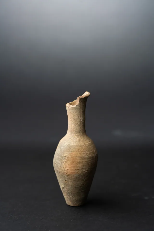
Fusiform Unguentarium
Hellenistic
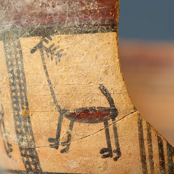
Bichrome Skyphos with Stags in Metopes
Cypro-Archaic
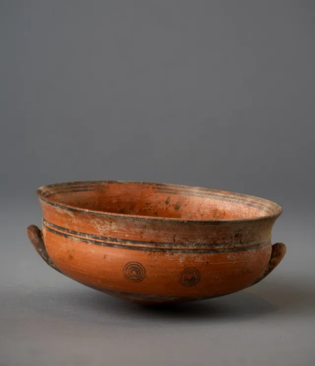
Black-on-Red Two-Handled Bowl with Raised Flaring Rim
Cypro-Archaic
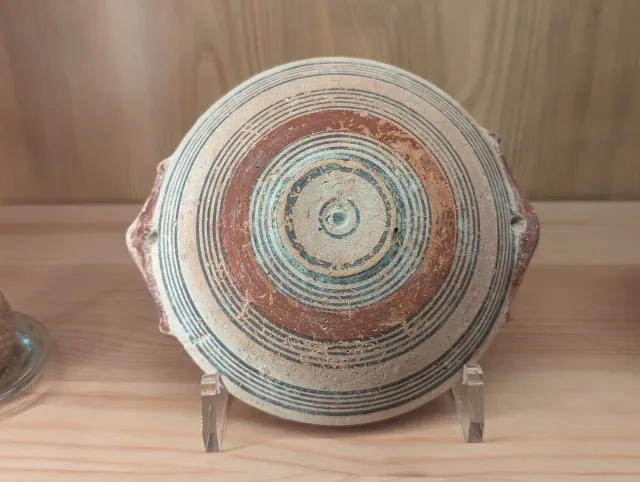
Bichrome IV Bowl with Red-Painted Pierced Lug Handles
Cypro-Archaic
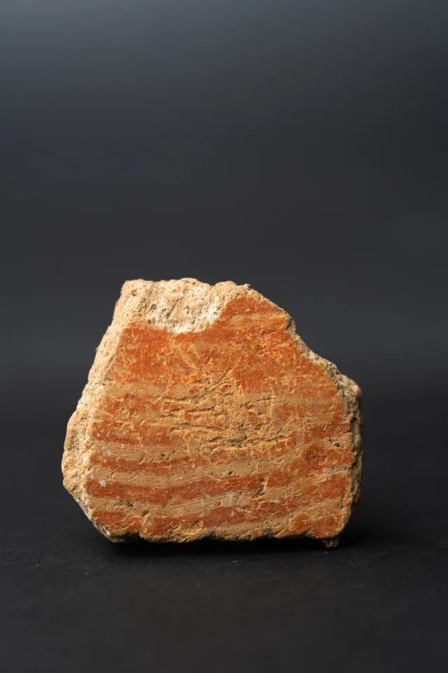
Combed Ware Bowl Fragment with Parallel Bands
Neolithic
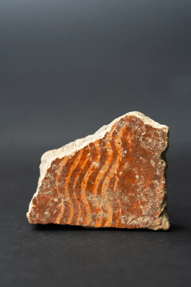
Combed Ware Bowl Fragment with Multiple Wavy Bands
Neolithic
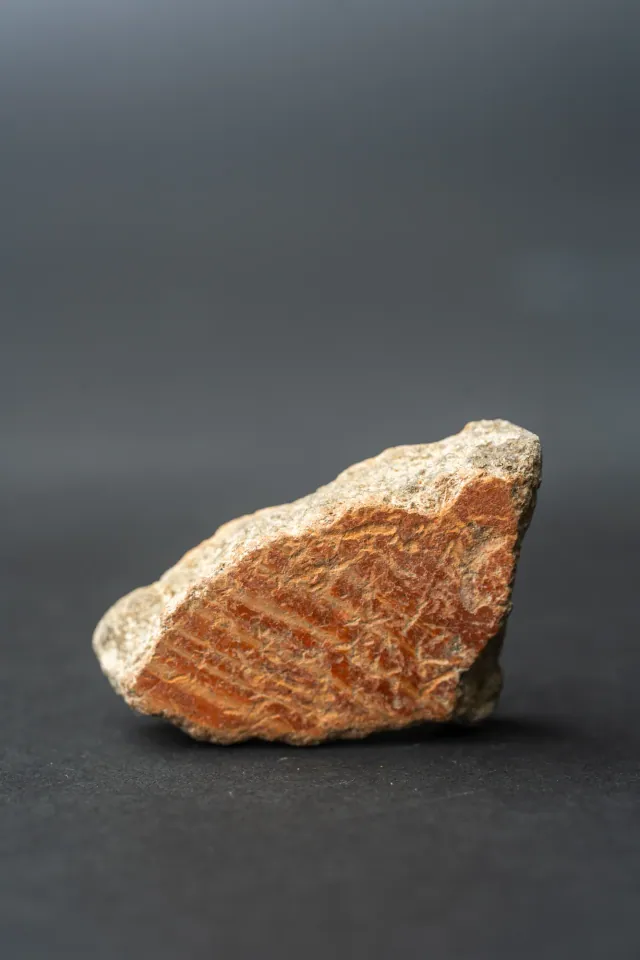
Combed Ware Bowl Fragment with Oblique Bands
Neolithic
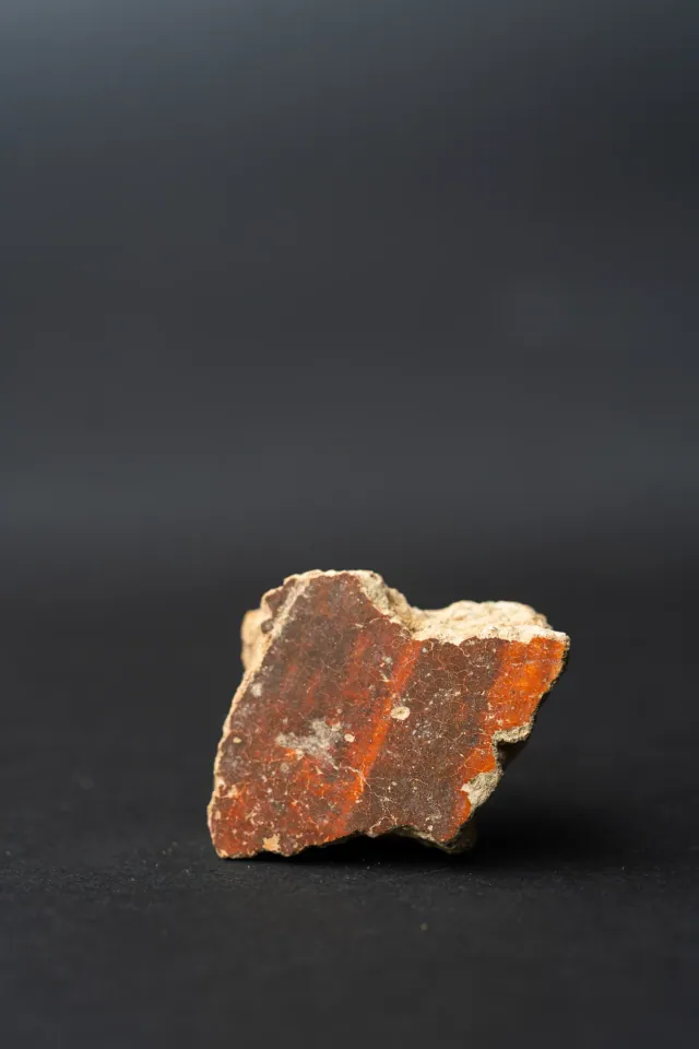
Red Lustrous Ware Body Sherd with Fire-Mottled Slip
Neolithic
Found at the places discussed
Objects in our catalogue, in museum collections, recorded as found at these sites.


Background
Where to read more on this site before or after watching.
The site
Tamassos
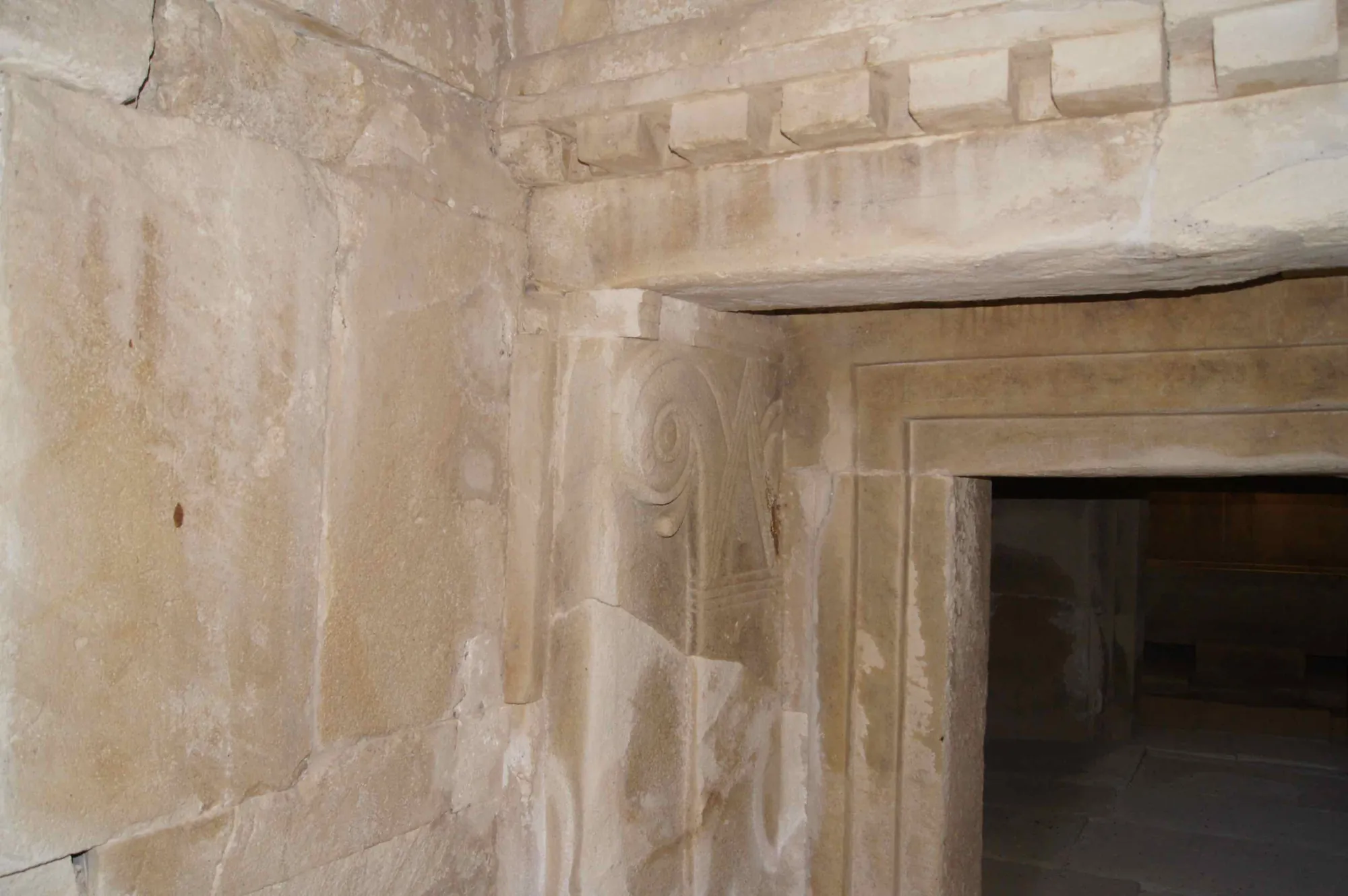
Tamassos was one of the Iron Age kingdoms of Cyprus, at the modern village of Politiko in the copper-bearing foothills of the Troodos. It is named among the ten Cypriot kingdoms on the prism of Esarhaddon (673/2 BC), was sold by its last king Pasikypros to Pumiathon of Kition in the 4th century BC, and is known for its built royal tombs, a sanctuary of Aphrodite-Astarte beside copper workshops, and the sanctuary of Apollo at Frangissa.
In the compendium
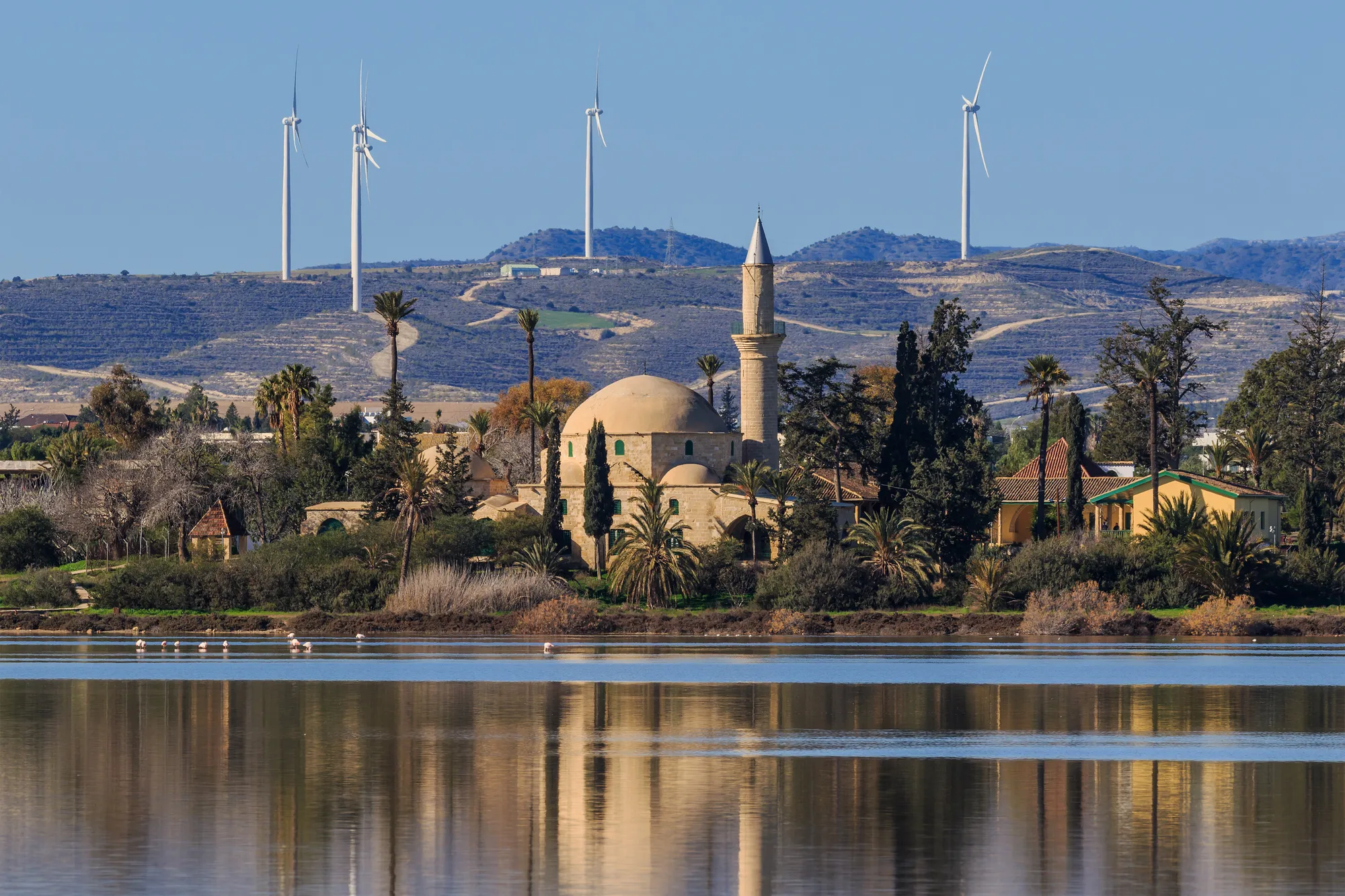
Climate and Landscape in Ancient Cyprus
What the island's own records show about sea level, coasts, rainfall and forests in Cyprus from the first farmers to the Hellenistic period.
In the compendium
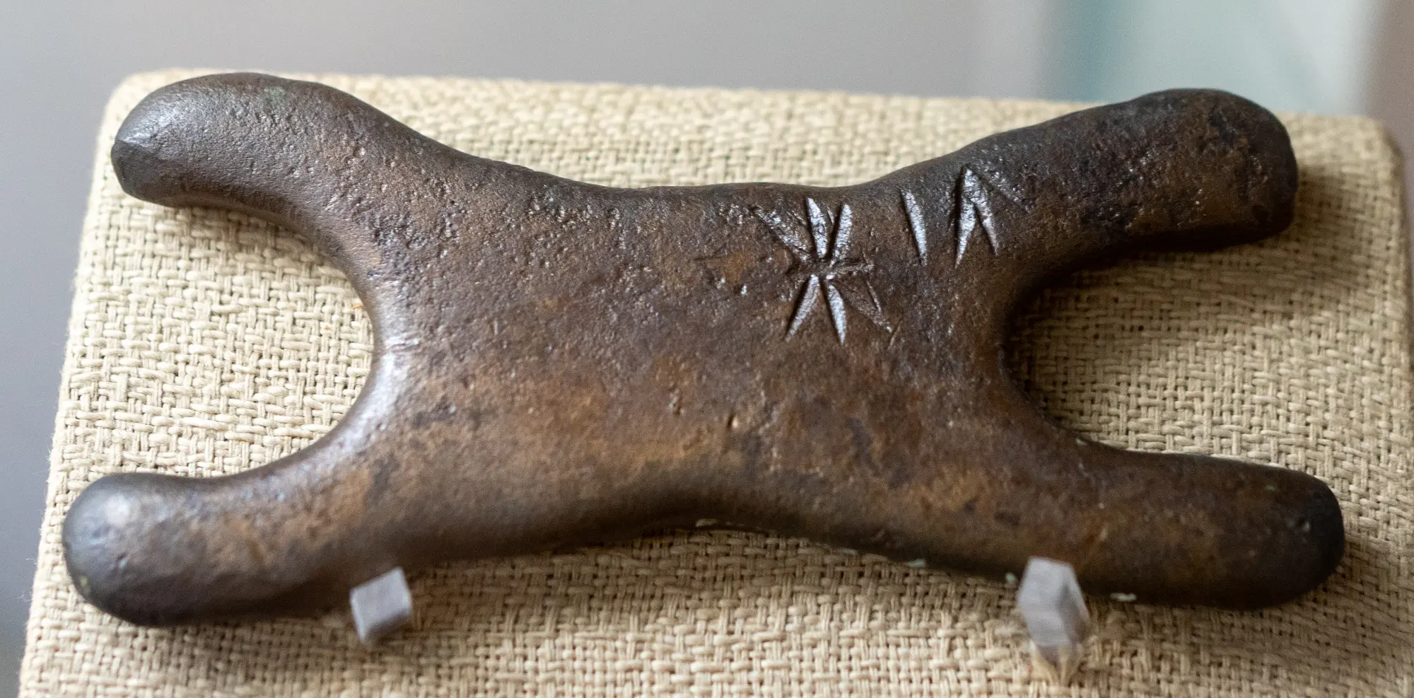
Copper Metallurgy in Ancient Cyprus
The mining, smelting and casting of the Troodos sulphide ores, from hammered Chalcolithic native copper to Late Bronze Age oxhide ingots and Archaic slag heaps.
In the compendium
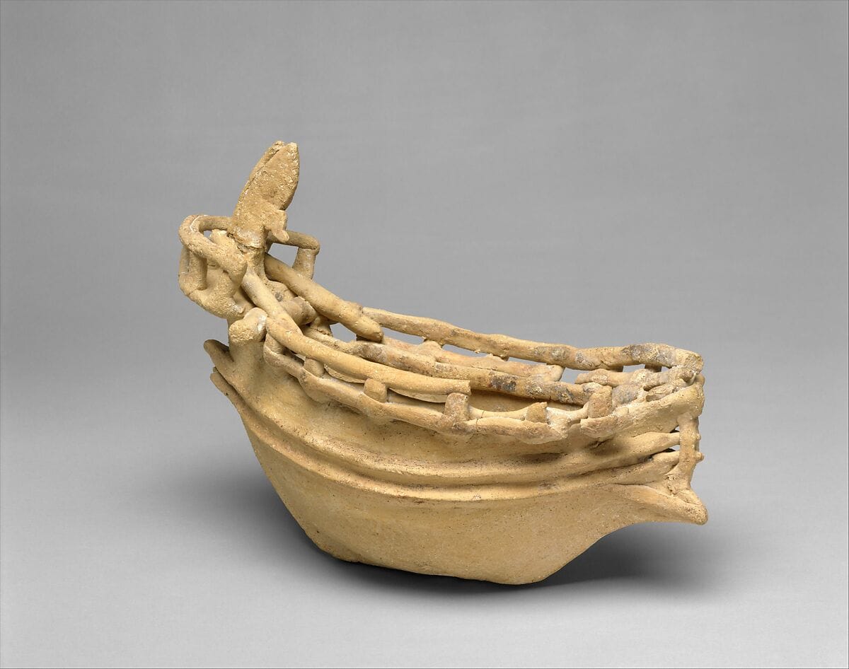
Seafaring and Ships in Ancient Cyprus
The evidence for boats and seafaring around Cyprus from the first crossings to the Classical period, from anchors, models and graffiti to wrecks and shipsheds.
Map of Cyprus
Places discussed in the talk
- Has a page on this site
- Other places
- Ground above 200, 500, 1,000 m
Places
- 1Soli
- 2Marion
- 3Tamassos
- 4Limnitis (approx.)