
Conference paper·Archaeological Research Unit - University of Cyprus·2019·In Greek
Settled and Sacred Landscapes of Cyprus (SeSaLaC): Results of the Fifth Field Season (2018)
Settled and Sacred Landscapes of Cyprus (SeSaLaC): αποτελέσματα πέμπτης ερευνητικής περιόδου (2018)
Chapters
About the video
Athanasios Vionis of the University of Cyprus presents the results of the fifth season of the Settled and Sacred Landscapes of Cyprus (SeSaLaC) archaeological field project and summer school, conducted in July 2018. Given in Greek, the paper reports on intensive surface survey and geoarchaeological work in the Xeros River valley in the Larnaca district, around the modern villages of Kofinou, Agios Theodoros, Alaminos and Menogeia. The project is co-directed with Giorgos Papantoniou and Doria Nicolaou within the Artifact and Landscape Studies Laboratory (ArtLands Lab).
Having completed systematic transect walking across the valley in 2017, the team moved in 2018 to the second phase of fieldwork: the gridded collection and spatial definition of individual sites found in the transects. Six sites in the north-eastern part of the valley, numbered 2 to 7, were surveyed in 25 by 25 metre grids using ArcPad and kernel density estimation to distinguish each site core from its peripheral halo. Total collection in 2 by 2 metre squares within each grid confirmed the reliability of the ceramic sampling method, and a forthcoming geophysical survey with the Institute for Mediterranean Studies in Crete will test whether subsurface remains match the surface calculations.
Aside from Site 5, which dates mainly to the Neolithic, and Site 3, which belongs to the Early and Middle Bronze Age, the surveyed sites date primarily to Late Antiquity and the Early Byzantine period in the 6th and 7th centuries AD, comprising three small settlements of 1.3 to 2.5 hectares and one farmstead under a hectare. Vionis notes that the heavy 6th- and 7th-century pottery cover affects the visibility of earlier phases, though Cypro-Archaic and Cypro-Classical rural communities are also present, spaced at regular intervals and supplying agricultural produce to the kingdom of Amathus. Using demographic and land-use calculations, he estimates that the valley held roughly 1,500 hectares of prime arable land, while the 425 Late Antique families in the area required at least 3.6 hectares each, or 1,530 hectares in total. He argues that this overpopulation exceeded what the valley's land could sustain and, alongside the broader political situation and climatic changes, contributed to the demographic and economic contraction of the following centuries.
The talk concludes with a summary of preliminary geoarchaeological observations in the middle Xeros valley by Pantelitsa Mylona on alluvial terraces and paleosols, the training of Greek Cypriot and Turkish Cypriot staff from the Committee on Missing Persons in surface survey methods, and related publications and events.
From our collection
Pieces in the Drakopoulos collection of the kinds and periods this talk covers: Vessel.
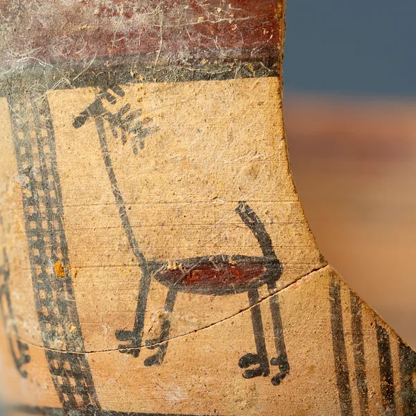
Bichrome Skyphos with Stags in Metopes
Vessel
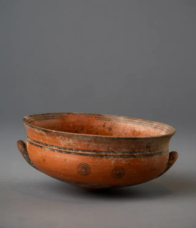
Black-on-Red Two-Handled Bowl with Raised Flaring Rim
Vessel
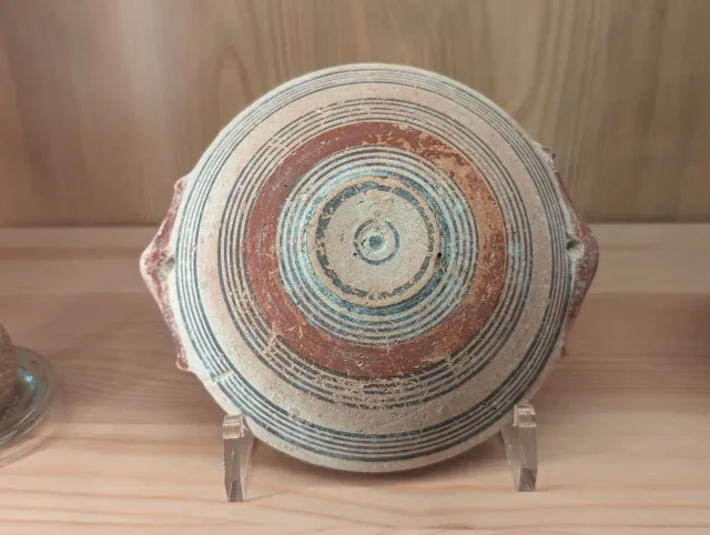
Bichrome IV Bowl with Red-Painted Pierced Lug Handles
Vessel
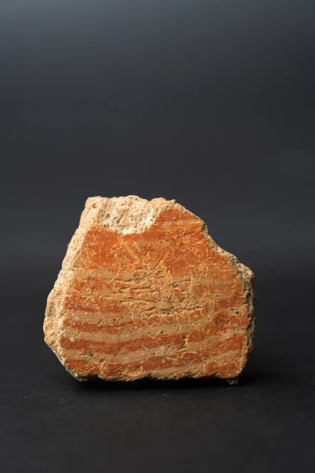
Combed Ware Bowl Fragment with Parallel Bands
Vessel
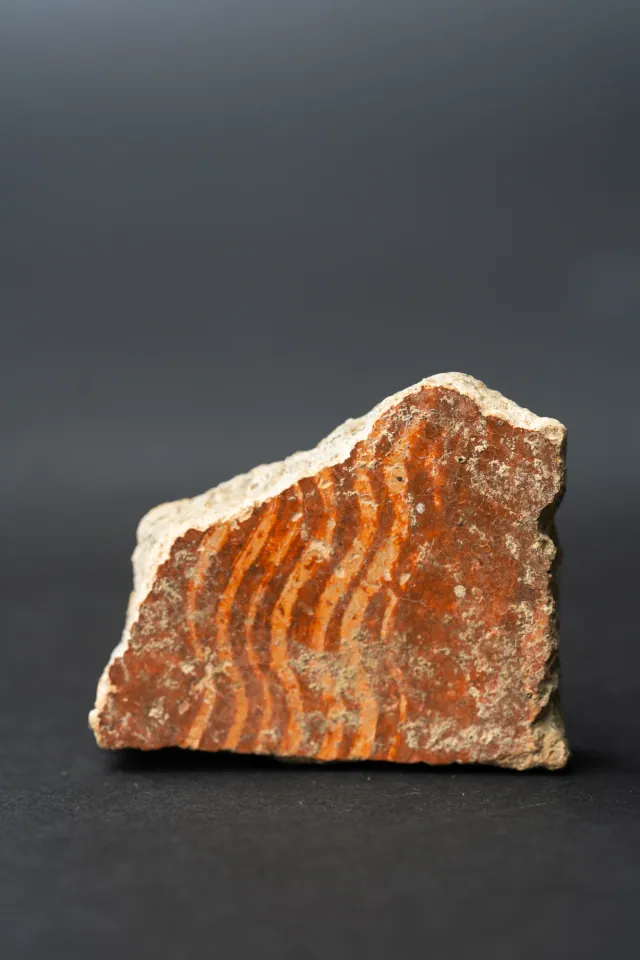
Combed Ware Bowl Fragment with Multiple Wavy Bands
Vessel
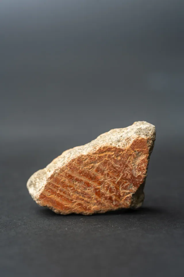
Combed Ware Bowl Fragment with Oblique Bands
Vessel
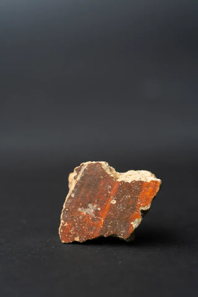
Red Lustrous Ware Body Sherd with Fire-Mottled Slip
Vessel
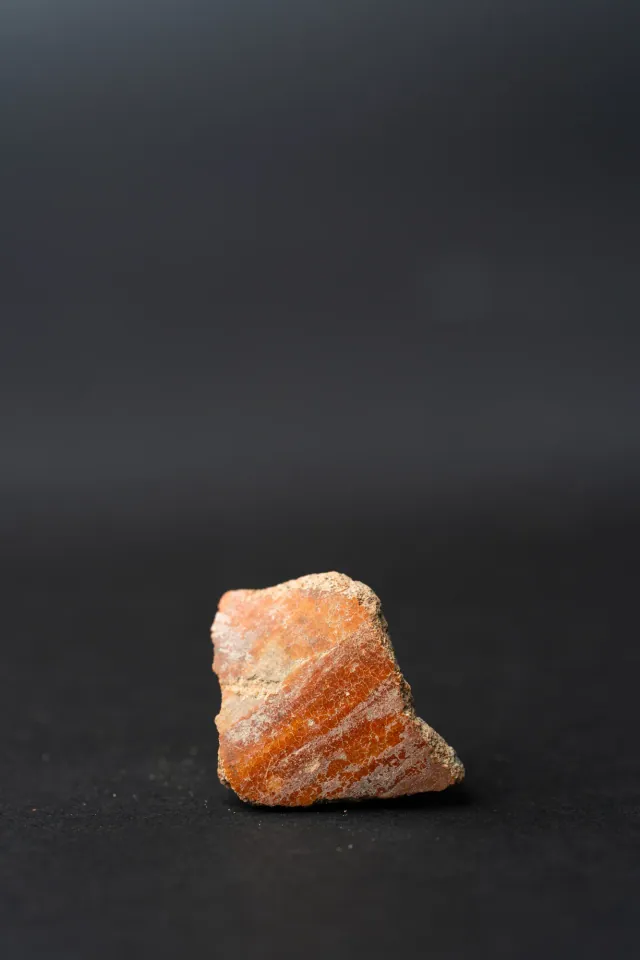
Red Slip Ware Body Sherd with Streaked Slip
Vessel
Found at the places discussed
Objects in our catalogue, in museum collections, recorded as found at these sites.


Background
Where to read more on this site before or after watching.
The site
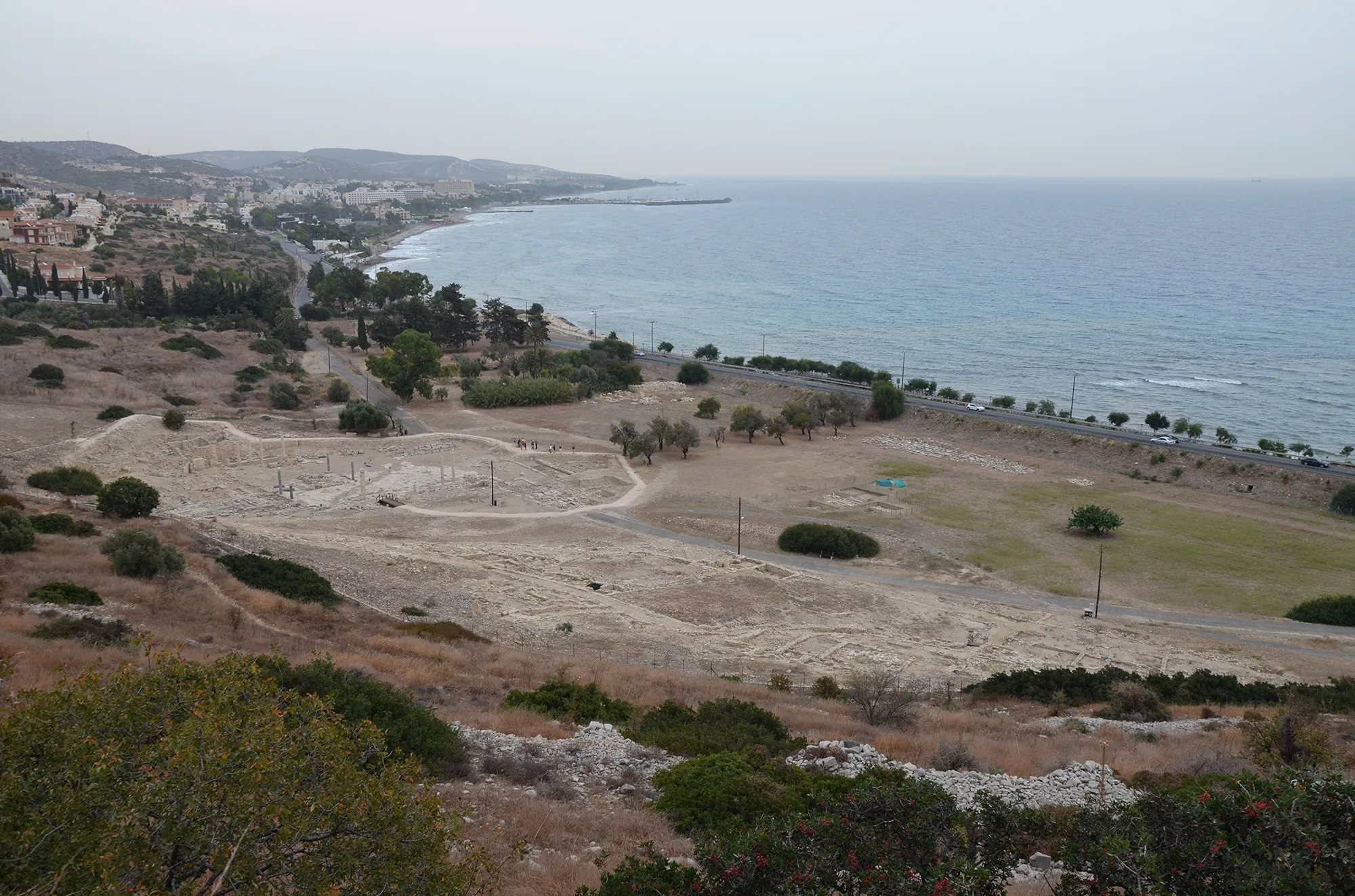
Amathus
Amathus was the capital of one of the Iron Age kingdoms of Cyprus, on a coastal hill about 10 km east of Limassol. It was founded on an empty site in the 11th century BC and lived in until the end of the 7th century AD. Its acropolis carried a sanctuary of Aphrodite and the kings' palace; its people kept the island's old non-Greek language, Eteocypriot, at least until the time of Alexander.
In the compendium
Population and Demography in Ancient Cyprus
The methods and published estimates for how many people lived in ancient Cyprus, from Neolithic Khirokitia to the Classical kingdoms, where every figure is a model.
In the compendium
Climate and Landscape in Ancient Cyprus
What the island's own records show about sea level, coasts, rainfall and forests in Cyprus from the first farmers to the Hellenistic period.
The period
Neolithic
The period c. 9000–3900 BCE in which farmers from the mainland settled Cyprus, built villages of circular houses, and later adopted pottery.
Map of Cyprus
Places discussed in the talk
- Has a page on this site
- Other places
- Ground above 200, 500, 1,000 m
Places
- 1Kofinou (approx.)
- 2Agios Theodoros (approx.)
- 3Alaminos (approx.)
- 4Amathus