
Lecture·Archaeological Research Unit - University of Cyprus·2019
Theatre architecture in Cyprus: The evidence from the excavations of the Nea Paphos theatre
Chapters
About the lecture
Craig Barker of the University of Sydney presents the results of nineteen excavation seasons by the Paphos Theatre Archaeological Project at the ancient theatre on Fabrika Hill in Nea Paphos, inaugurated by Richard Green in 1995. Barker outlines six main architectural phases spanning six and a half centuries, from the foundation of Nea Paphos in the late fourth or early third century BC to the late fourth-century AD earthquakes, and places the building within the surrounding Theatre Quarter and alongside the other Roman theatres of Cyprus.
Barker argues that the theatre was established at the end of the fourth or very beginning of the third century BC, predating the regular urban grid of Nea Paphos, as shown by its south-by-southwest orientation towards the harbour and late fourth- or early third-century BC lettering carved into the upper cavea. Because Fabrika Hill lacked sufficient natural bedrock on its eastern and western flanks, the builders used earthen embankments behind retaining walls, topped with plastered limestone seats. A mid-second-century BC Alexandrian phase introduced a stone stage building with a painted triglyph and metope frieze, attested alongside a lost statue base of the Dionysiac guild of artists, and a rock-cut Charonian tunnel beneath the orchestra, the only example known in Cyprus. Following the earthquake of 15 or 17 BC, an Augustan rebuilding reinforced the collapsed western analemma wall.
The theatre reached its greatest extent in the mid-second century AD under the Antonines, seating 8,000 to 8,500 spectators and measuring nearly 90 metres across. A large marble inscription honours Antoninus Pius and Marcus Aurelius for the gifts of the barrel-vaulted parodoi, painted with garlanded colonnades, and the marble-faced stage building with its imperial statues. Barker shows how this Antonine expansion abutted an earlier, differently aligned nymphaeum to the south, which faced a colonnaded street over eight metres wide running toward the northeastern city gate and the pilgrim road to Palaepaphos. Mapping reused Troad granite columns across Paphos, he proposes that this street was the decumanus maximus and met the cardo maximus at the western corner of the theatre.
Under the Severans, postholes around the orchestra and the reuse of the Antonine inscription as a threshold over a coin of Caracalla indicate a conversion into an arena. A later third-century waterproof containment wall and drainage pipes show that the orchestra was flooded for aquatic spectacles until its destruction in the late fourth century AD. Barker concludes by comparing the chronology and scale of the Paphos theatre with those at Soloi, Salamis and Kourion. In the discussion afterwards, he addresses the dismantling of the Antonine stage, the Ptolemaic terminology of the early phases, medieval structures on the hill, and earlier Cypriot theatrical traditions.
From our collection
Pieces in the Drakopoulos collection of the kinds and periods this talk covers: Hellenistic.
The Drakopoulos collection →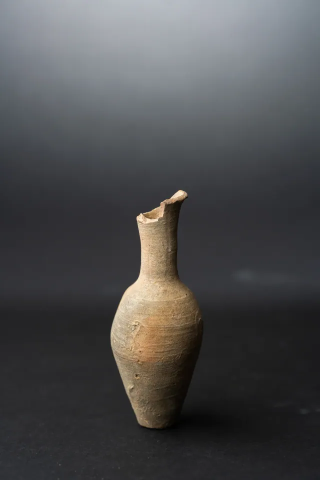
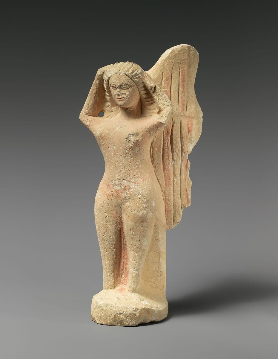
Found at the places discussed
Objects in our catalogue, in museum collections, recorded as found at these sites.


Background
Where to read more on this site before or after watching.
The site
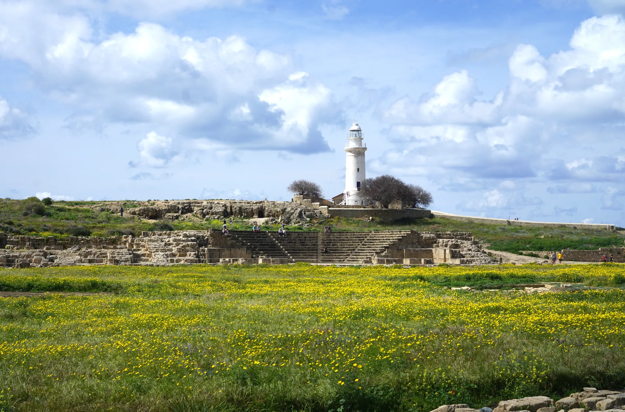
Nea Paphos
Nea Paphos, New Paphos, lies under Kato Paphos on the south-west coast of Cyprus. Founded about 320 BC as a harbour town for the kingdom of Paphos, it became the seat of the Ptolemaic governors of the island and then the capital of the Roman province until the 4th century AD. Its walls, theatre, civic centre, mosaic-floored houses and rock-cut tombs are part of the UNESCO World Heritage Site of Paphos, inscribed in 1980.
In the compendium
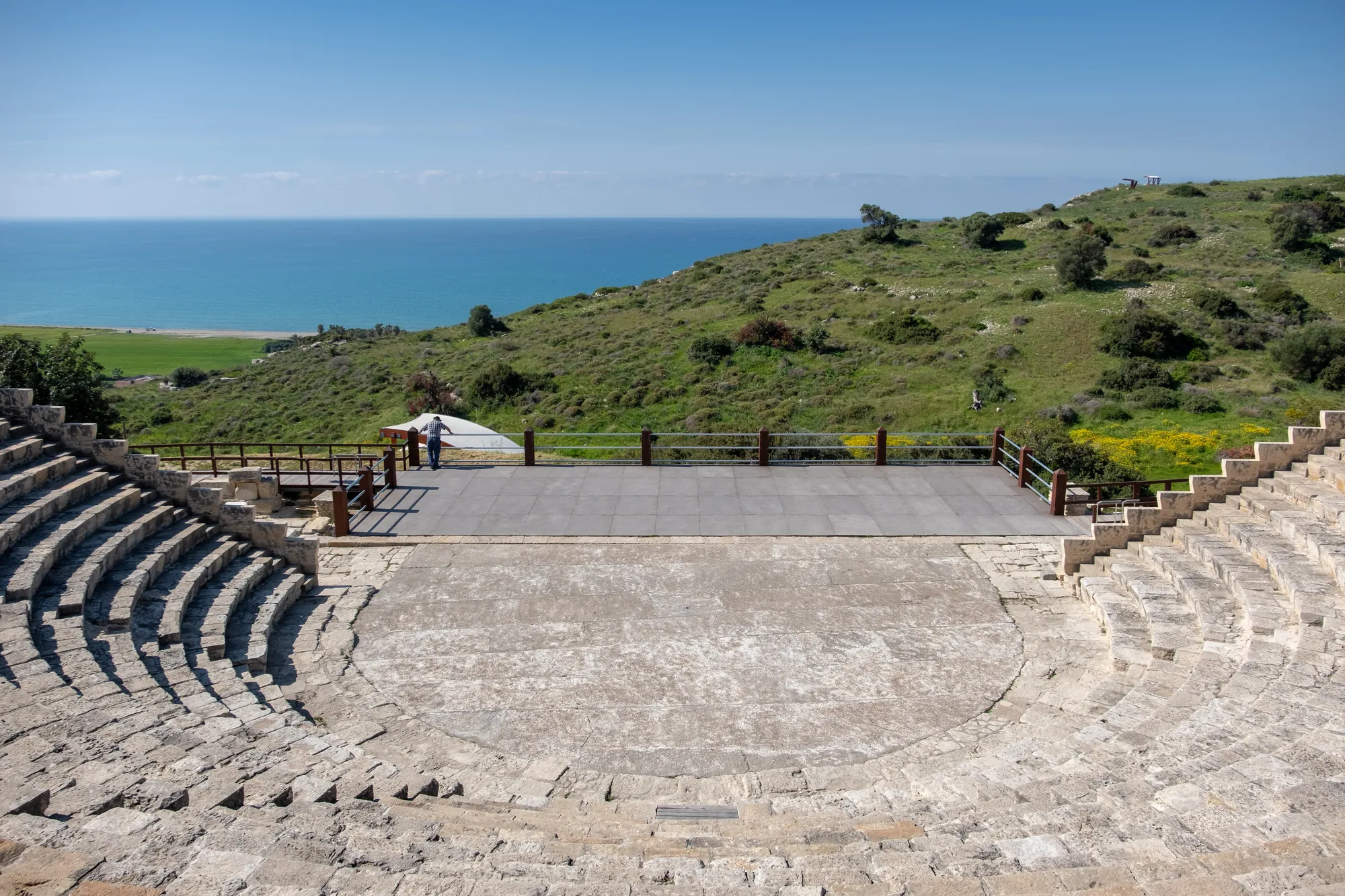
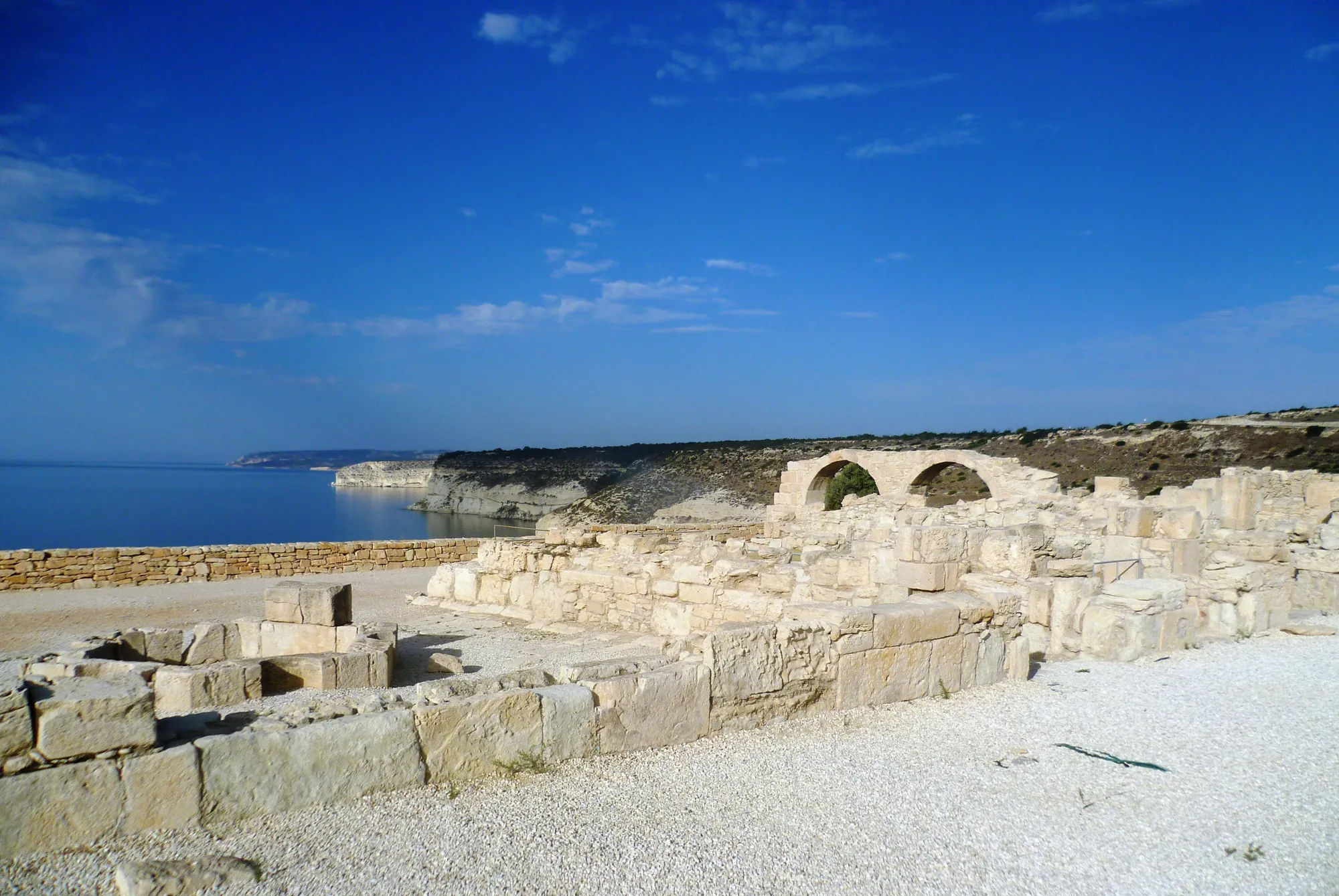
Theatres, Baths and Public Buildings
The public buildings of Hellenistic and Roman Cyprus: theatres, an odeion, agoras, the Salamis gymnasium, the Kourion stadium and heated baths, mostly rebuilt after AD 76/77.
In the compendium
Earthquakes in Ancient Cyprus
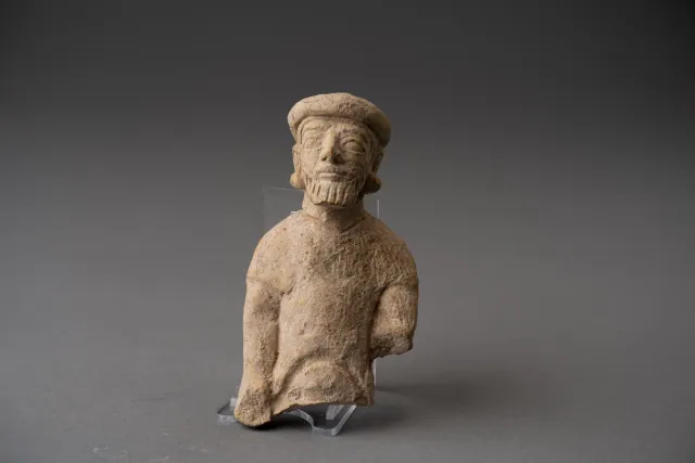
The earthquakes proposed for ancient Cyprus, from disputed Bronze Age destructions to the 4th-century CE shocks that left Kourion in ruins.
The period
Hellenistic
The Ptolemaic period in Cyprus, c. 310–31 BCE, when the city-kingdoms were abolished and the island was governed as one province from Nea Paphos.
Map of Cyprus
Places discussed in the talk
- Has a page on this site
- Other places
- Ground above 200, 500, 1,000 m
Places
- 1Nea Paphos
- 2Palaepaphos
- 3Soloi
- 4Salamis
- 5Kourion