
Conference paper·Archaeological Research Unit - University of Cyprus·2017
Under the Mediterranean: Tsunamis, Coastscapes, Marsa Bagoush, Tel Akko and Submerged Neolithic Sites
Christophe Morhange, Mari Yamasaki, Emad Khalil, Michal Artzy and Ehud Galili
Chapters
About the video
Recorded at the Honor Frost Foundation Conference on Mediterranean Maritime Archaeology in October 2017, this session on maritime cultural landscapes brings together five papers on coastal geoarchaeology, ethnography, anchorages, and submerged settlements across the Mediterranean.
Christophe Morhange opens the session with a critique of how palaeo-tsunamis are identified in ancient harbours. Using case studies at Tipasa in Algeria and the Theodosian Harbour at Yenikapı in Istanbul, he demonstrates the imprecision of radiocarbon dating on displaced coastal boulders and mixed destruction layers. A meta-analysis of 135 published Mediterranean tsunami events conducted with Nick Marriner shows that nearly ninety per cent coincide with periods of heightened storminess, suggesting that many supposed tsunami deposits were caused by storms and are better termed high-energy events.
Mari Yamasaki presents an ethnographic and archaeological framework for defining a coastscape in the Bronze Age eastern Mediterranean, comparing modern fishing villages in Liguria with ancient sites in the Aegean and Cyprus. She looks at material culture, maritime terminology in Linear B, Ugaritic and Amarna texts (including references to Alashiya), communal fish consumption, ritual, and visibility from the sea. For Cyprus, she cites funerary feasting on fish and mollusks and a bronze fishhook placed under the left shoulder of the deceased in Tomb 5B at Middle Bronze Age Toumba tou Skourou at Morphou, as well as Thierry Petit's argument that the eighth-century BC palace at Amathus had a bright red roof designed to be seen from the sea.
Emad Khalil reports on survey work begun in 2015 at Marsa Bagoush (ancient Zygros), 250 kilometres west of Alexandria. Guided by the third-century AD Stadiasmus Maris Magni, his team recorded shipwrecks and concreted amphora piles from the Hellenistic to the Islamic periods, dominated by Roman Egyptian AE3 transport amphorae alongside a third-century BC stamped Knidian amphora, and traced the ancient guide's reference to "water in the sand" to an interconnected network of underground cisterns and early Roman tombs.
Michal Artzy examines the environmental and urban history of Tel Akko on the northern Israeli coast from the Early Bronze Age to the Persian period. Drawing on environmental records, coring, and electrical resistivity tomography, she shows how the tell began on former Pleistocene kurkar islands, received Cypriot and Egyptian imports through its Middle Bronze IIA Sea Gate, and shifted its anchorages and habitation as the Na'aman River silted up and coastal progradation dried the surrounding plain.
Ehud Galili closes the session with the submerged Neolithic villages of the Carmel coast between Haifa and Atlit. At Pre-Pottery Neolithic C Atlit-Yam (c. 9000 BP), stone-lined water wells, megalithic structures, domesticated wheat, fishhooks, net sinkers, and 85 human burials showing auditory exostosis from cold-water diving, thalassemia, and the earliest known DNA of tuberculosis document an agro-pastoral marine economy. At the later Pottery Neolithic site of Neve-Yam, wooden wells, crushed olive waste and strainers from early olive-oil production, and a stone-cist cemetery separated from the living quarters precede gradual abandonment caused by post-glacial sea-level rise.
From our collection
Pieces in the Drakopoulos collection of the kinds and periods this talk covers: Middle Cypriot (Middle Bronze Age), Cypro-Archaic.
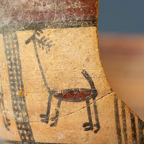
Bichrome Skyphos with Stags in Metopes
Cypro-Archaic
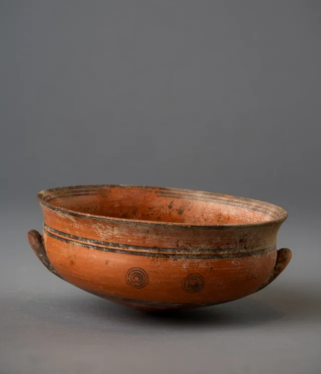
Black-on-Red Two-Handled Bowl with Raised Flaring Rim
Cypro-Archaic
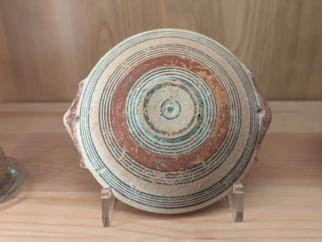
Bichrome IV Bowl with Red-Painted Pierced Lug Handles
Cypro-Archaic
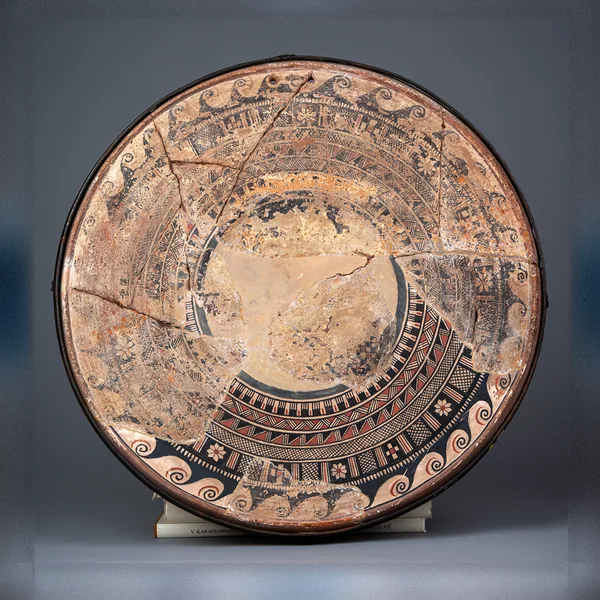
Large Bichrome Plate from Salamis with a Wave Band and Rosette Metopes
Cypro-Archaic
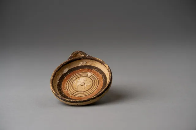
Miniature Bichrome Plate with Concentric Circles
Cypro-Archaic
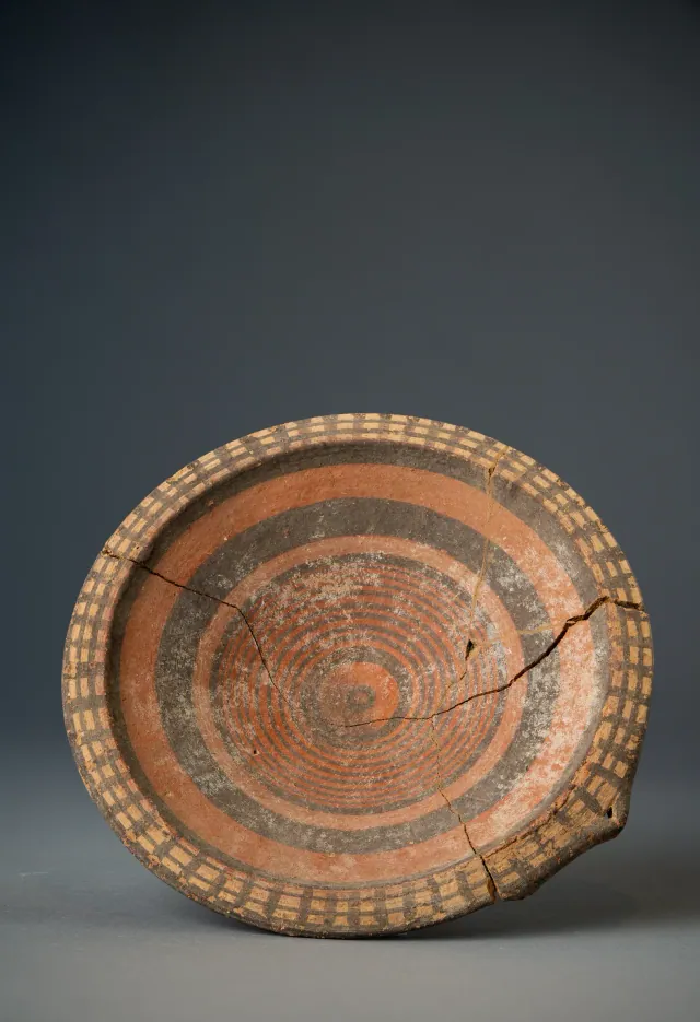
Black-on-Red Plate with Barred Rim and Concentric Circles
Cypro-Archaic
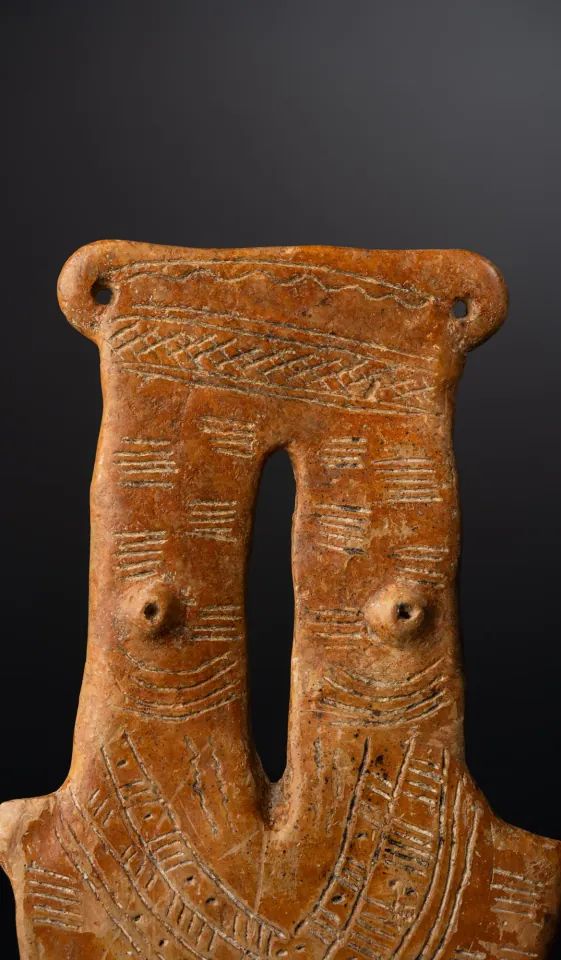
Red Polished Two-Necked Plank Figure
Middle Cypriot (Middle Bronze Age)
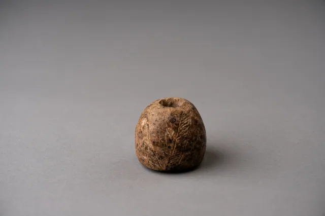
Spindle Whorl with Incised Herringbone Bands
Middle Cypriot (Middle Bronze Age)
Found at the places discussed
Objects in our catalogue, in museum collections, recorded as found at these sites.
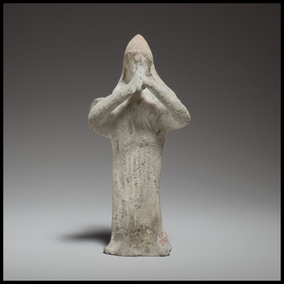
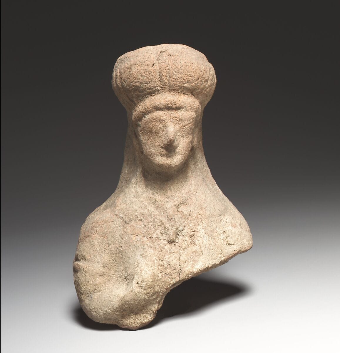
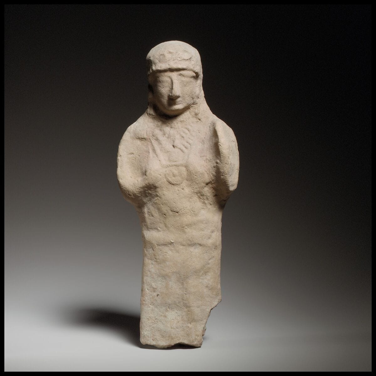
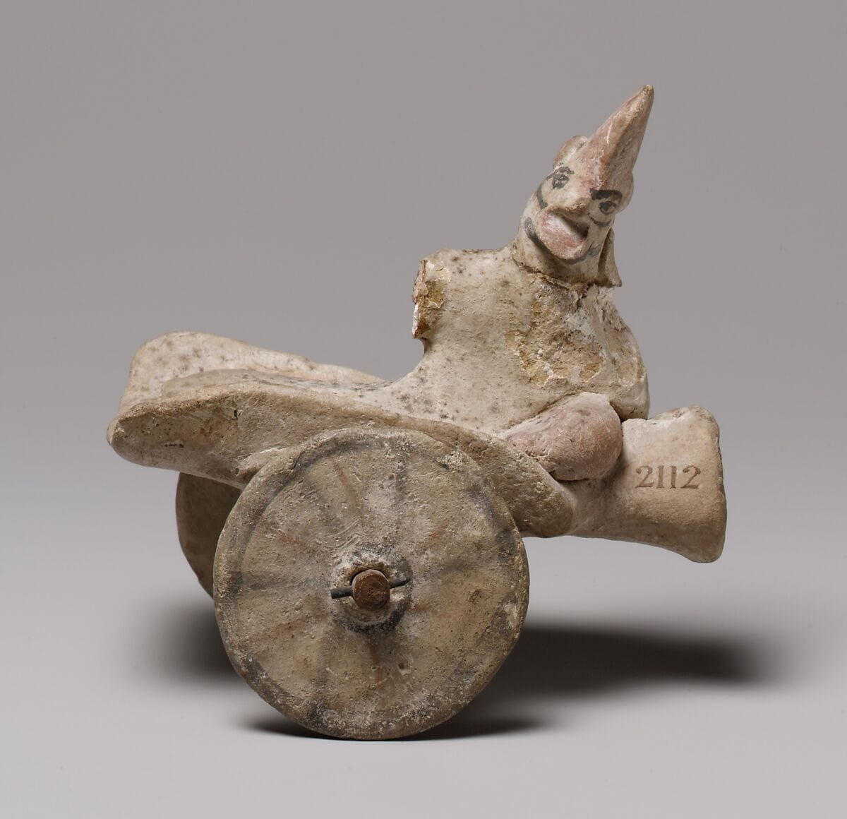
Background
Where to read more on this site before or after watching.
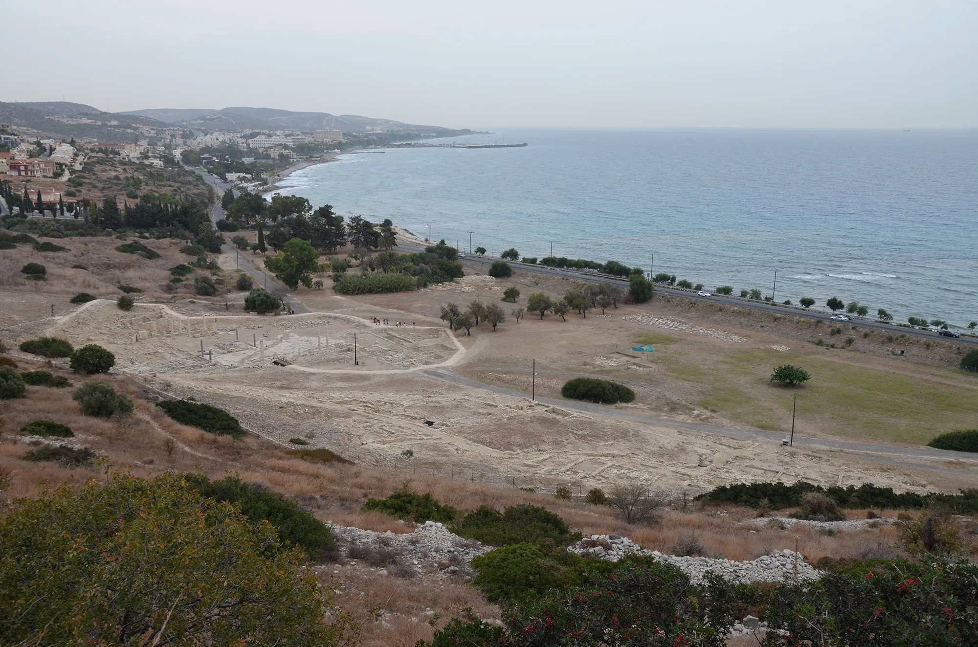
The site
Amathus
Amathus was the capital of one of the Iron Age kingdoms of Cyprus, on a coastal hill about 10 km east of Limassol. It was founded on an empty site in the 11th century BC and lived in until the end of the 7th century AD. Its acropolis carried a sanctuary of Aphrodite and the kings' palace; its people kept the island's old non-Greek language, Eteocypriot, at least until the time of Alexander.
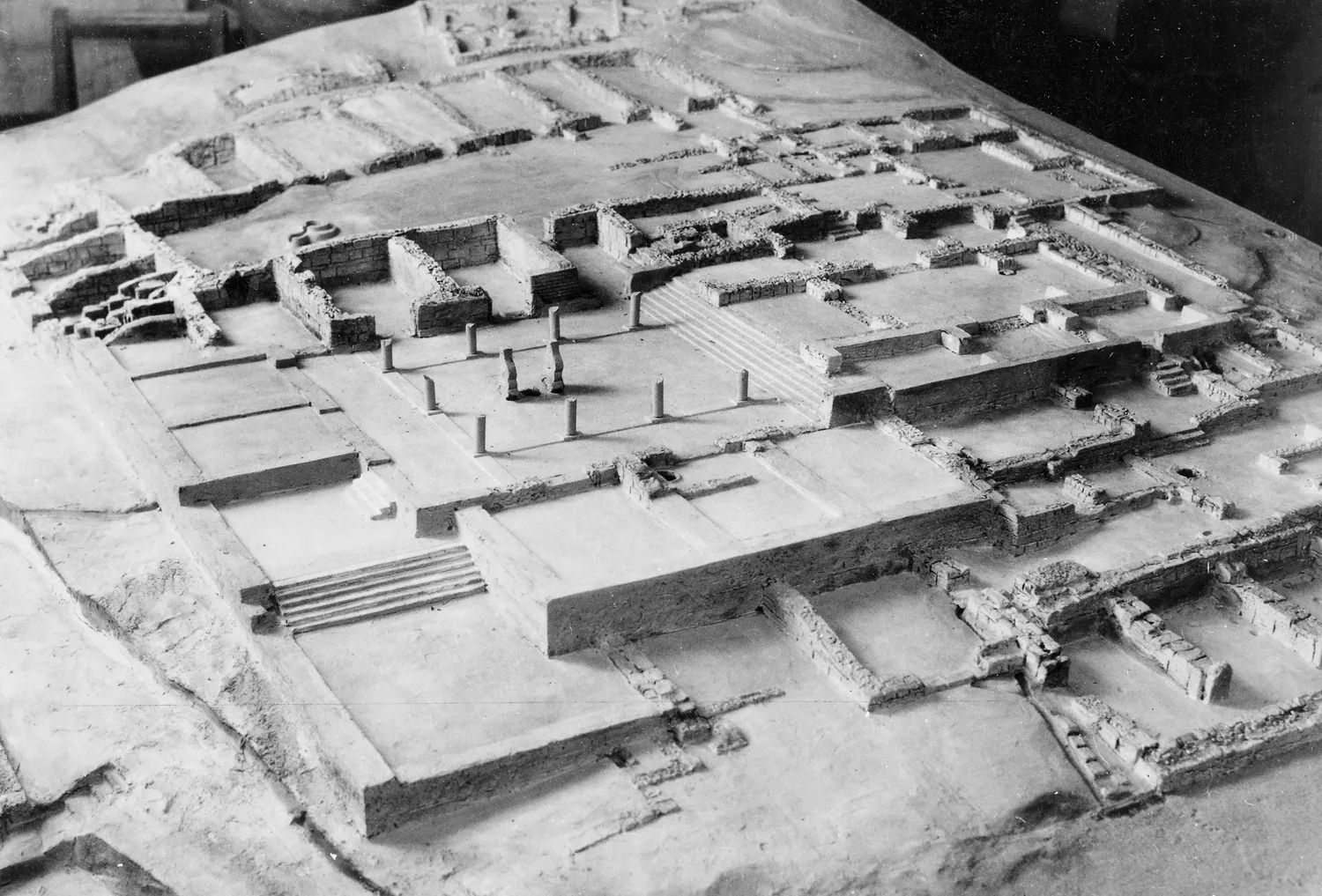
In the compendium
Iron Age Cities and Palaces
The capitals of the Iron Age kingdoms of Cyprus, their palaces at Vouni, Amathus, Idalion and Palaepaphos, their houses, and the volute and Hathor capitals of the period.

In the compendium
Ugarit and the Levant
The Syrian port kingdom of Ugarit and the wider Levantine coast, Cyprus's closest Bronze Age trading partners across the water.
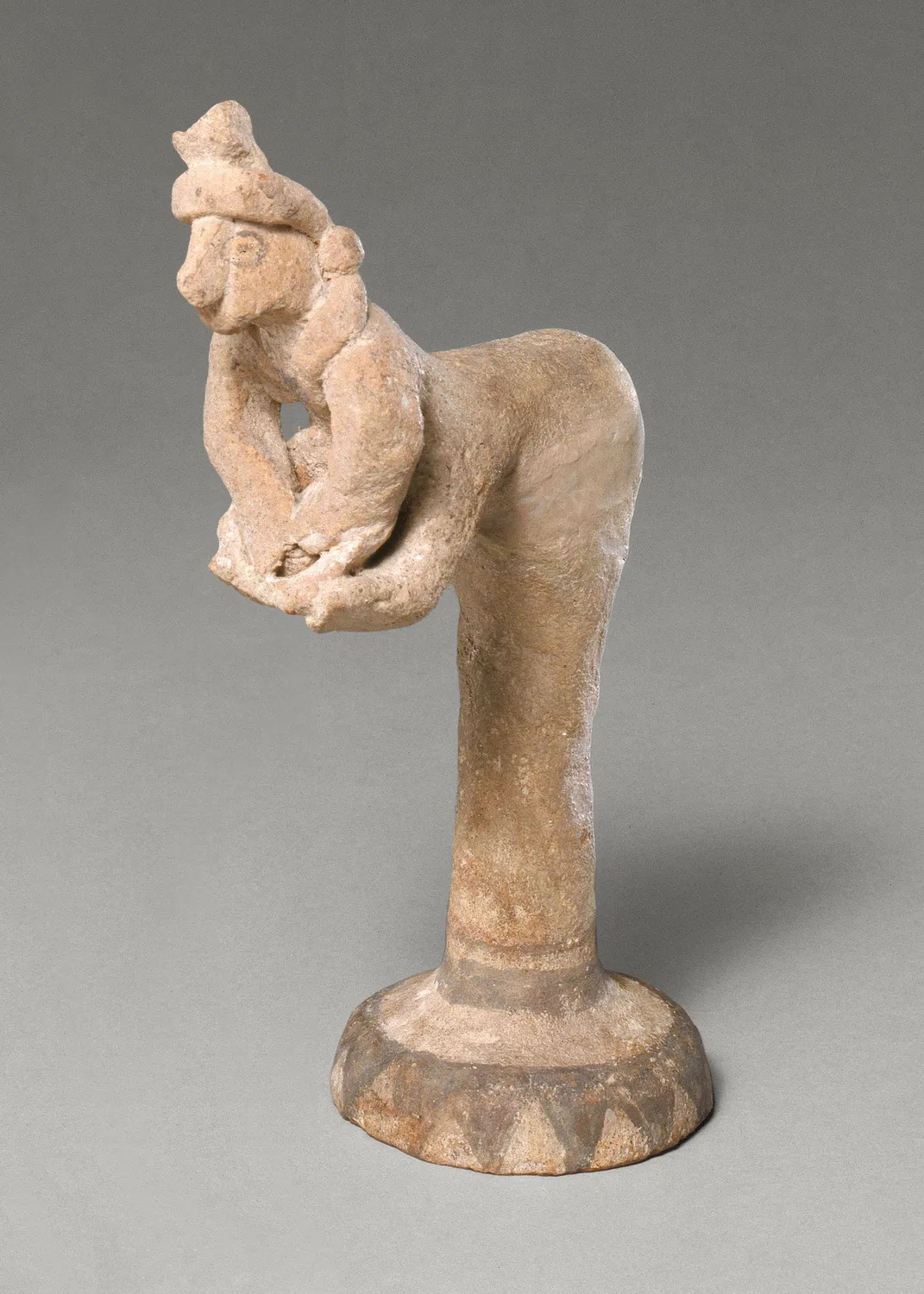
In the compendium
Food and Diet in Ancient Cyprus
What Cypriots grew, herded, hunted, cooked and drank from the first Neolithic villages to the end of the Cypro-Archaic period.
Map of Cyprus
Places discussed in the talk
- Has a page on this site
- Other places
- Ground above 200, 500, 1,000 m
Places
- 1Toumba tou Skourou
- 2Amathus