
Lecture·Archaeological Research Unit - University of Cyprus·2017·In Greek
Mapping a moment in the agrarian economy of Cyprus: the first Ottoman census of 1572
Χαρτογραφώντας μια στιγμή στην αγροτική οικονομία της Κύπρου: η πρώτη οθωμανική απογραφή του 1572
Antonis Hadjikyriacou
Chapters
About the lecture
Antonis Hadjikyriacou of Boğaziçi University presents the findings of his research project 'Mediterranean Insularities: Space, Landscape and Agrarian Economy in Ottoman Cyprus and Crete', conducted at the Institute for Mediterranean Studies in Rethymno. Given in Greek and introduced by Maria Iacovou, the lecture examines the first Ottoman tax register (tahrir) of Cyprus, compiled in 1572 immediately after the war of 1570 to 1571. The register captures both the agrarian economy at the end of Venetian rule and the baseline for the new Ottoman fiscal regime.
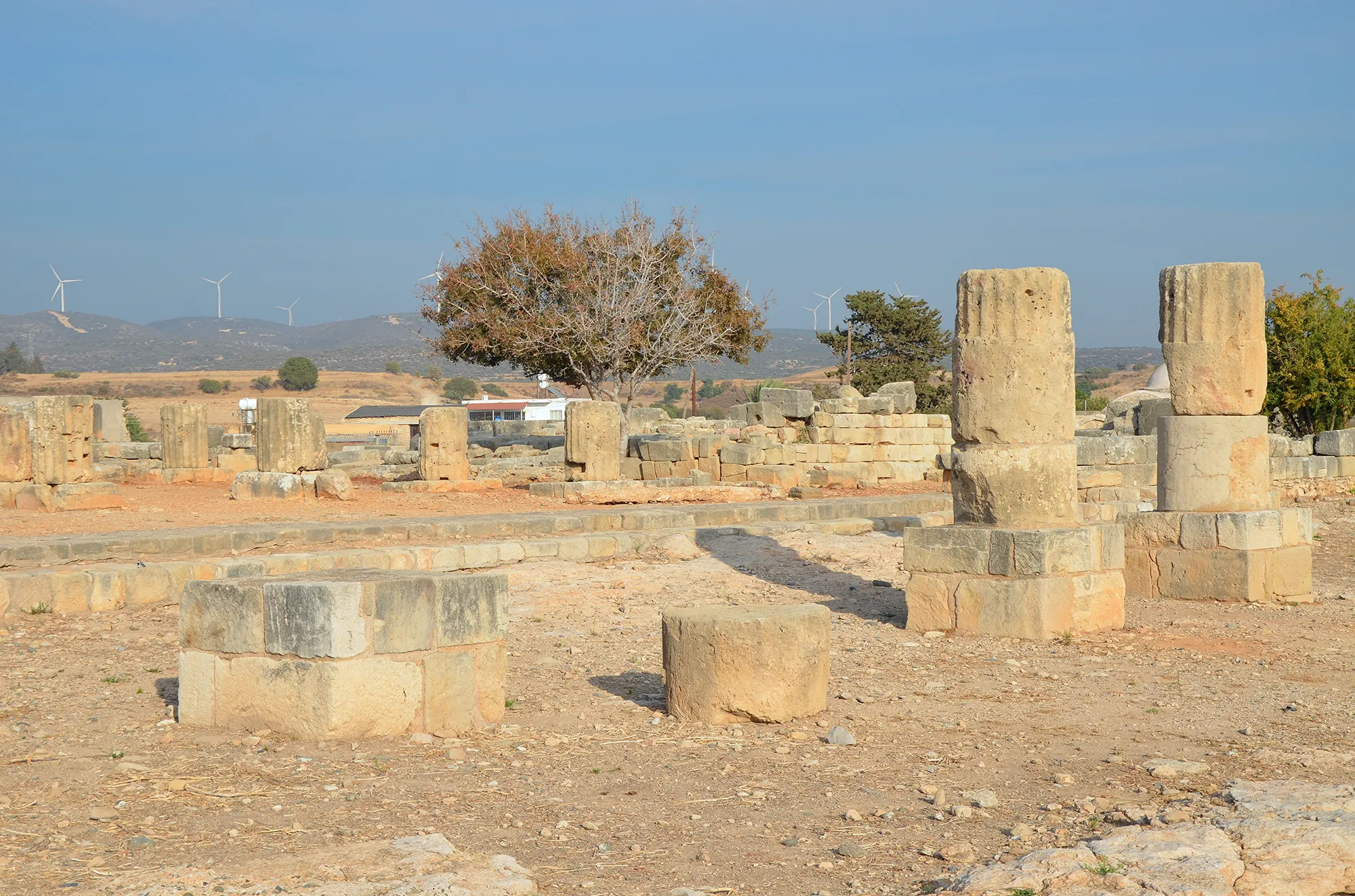
Hadjikyriacou begins by contrasting the economies of Cyprus and Crete, noting that while Crete focused on olives and vines, early modern Cyprus relied heavily on cereals and water-intensive eastern crops such as cotton, mulberries and sugar cane. Using the Kouklia manor and sugar mill as an example, he discusses how the Little Ice Age provided the increased rainfall needed for these crops, while four centuries of boiling sugar cane depleted the surrounding forests for fuel.
The core of the talk explains the methodology of converting the 1572 register, held in the Ankara cadastre archive, into a Geographic Information Systems (GIS) database. The register lists 1,137 villages, monasteries and taxable lands, of which 941 villages have detailed production data across 51 tax categories, taxed at a fifth of total yield. Using the Venetian-period village lists studied by Gilles Grivaud, Hadjikyriacou located 529 surviving villages on the map, beginning with the example of Sotira in the Mesaoria.
Walking through interpolated maps and statistical hotspot analyses, he shows the geographic distribution of wheat, barley, vetch, millet and oats. When wheat and barley figures are divided by the number of registered households per village, the resulting map closely mirrors the boundaries of the Ottoman administrative sub-districts (nahiyes), whereas the highest per-household surpluses appear along the southern coast around Larnaca, Mazotos and Limassol rather than in the war-damaged Mesaoria between Nicosia and Famagusta. He then maps olives and olive oil, pulses (lentils, broad beans, black-eyed peas and chickpeas), apiculture, carobs, irrigated gardens, pigs, sheep and goats, flax, cotton, viticulture, hemp and watermills, noting the 33 mills at Kythrea.
The final part of the lecture introduces the digitisation of Lord Kitchener's 1881 map of Nicosia and 1882 trigonometrical survey of Cyprus, which record cisterns, wells, chains of wells and gardens before modern landscape changes. A long discussion follows on Ottoman fiscal demography, the absence of tobacco in 1572, tax collection through local elites and the Church, the 1838 census, and the environmental history of watermills versus sugar plantations with comments from Euphrosyne Rizopoulou-Egoumenidou.
Background
Where to read more on this site before or after watching.
Map of Cyprus
Places discussed in the talk
- Has a page on this site
- Other places
- Ground above 200, 500, 1,000 m