
Lecture·Archaeological Research Unit - University of Cyprus·2017·In Greek
The Assyrian Empire and Cyprus: Geography and Topography of the Assyrian Empire through Written Sources and Field Research
Η Ασσυριακή Αυτοκρατορία και η Κύπρος: Η γεωγραφία και τοπογραφία της Ασσυριακής Αυτοκρατορίας μέσα από τις γραπτές πηγές και την επιτόπια έρευνα
Chapters
About the lecture
In this lecture, given in Greek at the Archaeological Research Unit of the University of Cyprus, independent researcher Andreas Parpas examines the relationship between the Neo-Assyrian Empire and the Cypriot city-kingdoms during the Cypro-Archaic period. After an introduction by Vasiliki Kassianidou, Panos Christodoulou sets the historical scene, noting how inscriptions of Sargon II at Khorsabad and Esarhaddon in 673 BC place Cyprus in the midst of the sea of the setting sun and preserve the earliest Greek royal names in Assyrian records.
Parpas draws on written sources and his decades of travel in Iraq between 1975 and 1990, and again after 2008, to place Cyprus within Assyrian imperial geography. He divides the empire into three spheres of control: the core land of Ashur around Ashur, Nimrud, Nineveh, Arbela, and Dur-Sharrukin (Khorsabad); the annexed provinces; and the outer ring of tributary vassal states west of the Euphrates, to which the Cypriot kingdoms belonged. Surveying monuments in Iraq, he connects Assyrian iconography directly to Cyprus: the seven divine symbols on the Sargon Stele from Kition, including the thunderbolt of Adad, and a bronze horse breastplate from Tomb 79 at Salamis decorated with a winged solar disc and apkallu guardian spirits.
The second part of the talk introduces what Parpas terms Assyrianization, an ancient form of economic globalization managed through state treaties and a network of trading stations known as karu. Citing Esarhaddon's treaty with Baal of Tyre, which lists Levantine ports under Tyrian jurisdiction without mentioning Cyprus, he argues against the view that Kition was a Tyrian colony. He also traces how the landlocked Assyrians built a naval capability in the 7th century BC, employing Phoenician shipwrights and Cypriot sailors at Nineveh and Til Barsip for Sennacherib's 694 BC campaign down the Tigris and Euphrates to the southern marshes.
Turning to the written sources on Cyprus, Parpas reviews the Khorsabad annals and the Kition stele of 709 BC. He challenges Na'aman's interpretation that Sargon II intervened militarily on Cyprus to collect unpaid tribute on behalf of Tyre, arguing instead that the Cypriot kings submitted to Assyrian hegemony, paid mandatory tribute (madattu), ceremonial gifts (kiatru), and audience gifts (namurtu), and profited from access to the empire's regulated markets.
In the discussion afterwards, Maria Iacovou and members of the audience discuss the scarcity of Assyrian material culture found in Cyprus alongside the discrepancies between Sargon's palace annals and the Kition stele.
From our collection
Pieces in the Drakopoulos collection of the kinds and periods this talk covers: Cypro-Archaic, Hellenistic.
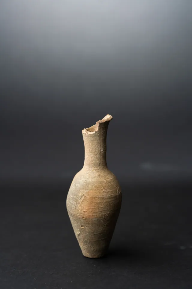
Fusiform Unguentarium
Hellenistic
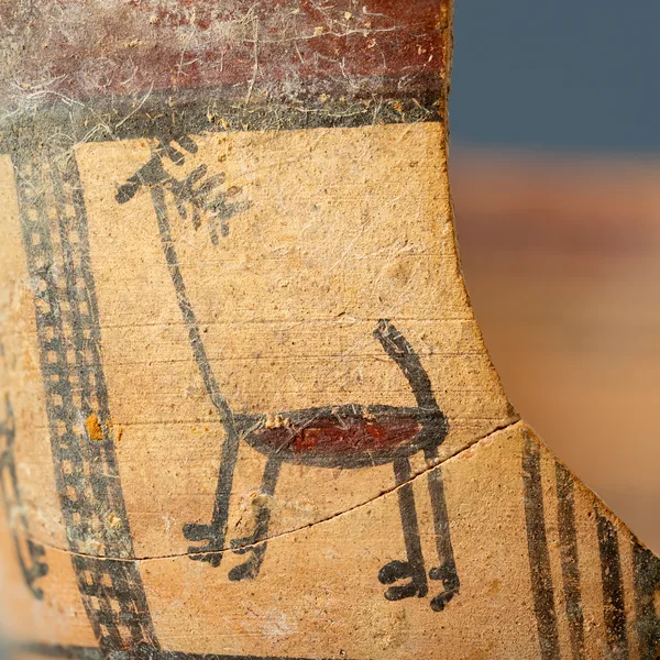
Bichrome Skyphos with Stags in Metopes
Cypro-Archaic
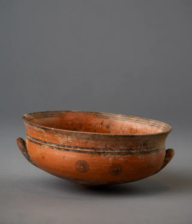
Black-on-Red Two-Handled Bowl with Raised Flaring Rim
Cypro-Archaic
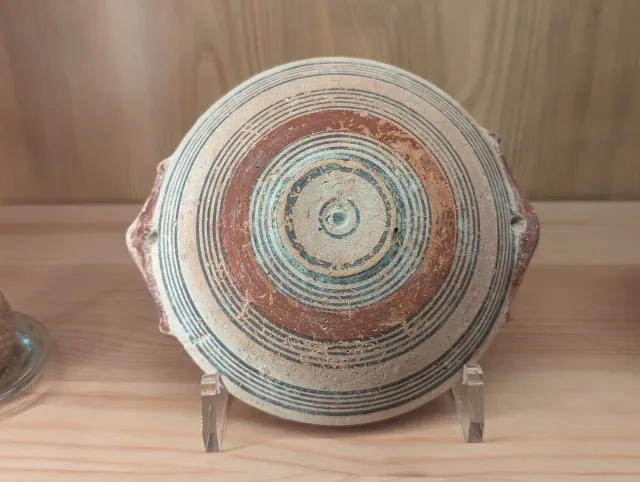
Bichrome IV Bowl with Red-Painted Pierced Lug Handles
Cypro-Archaic
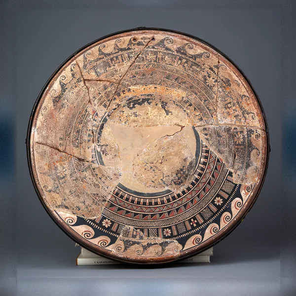
Large Bichrome Plate from Salamis with a Wave Band and Rosette Metopes
Cypro-Archaic
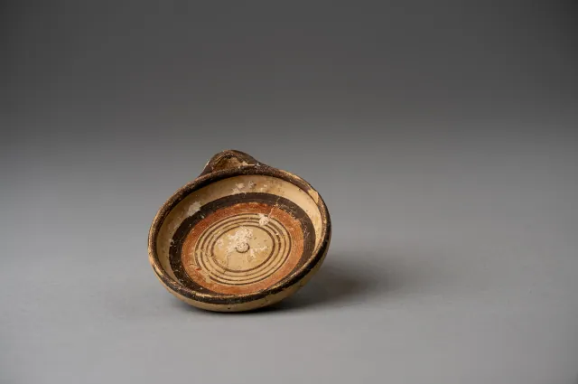
Miniature Bichrome Plate with Concentric Circles
Cypro-Archaic
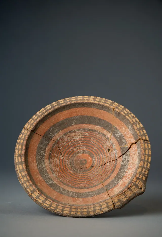
Black-on-Red Plate with Barred Rim and Concentric Circles
Cypro-Archaic
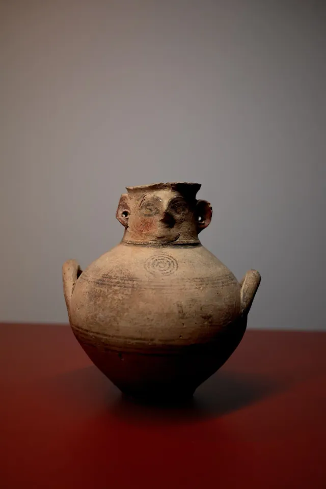
Bichrome IV Face-Neck Jar of the Kourion Type
Cypro-Archaic
Found at the places discussed
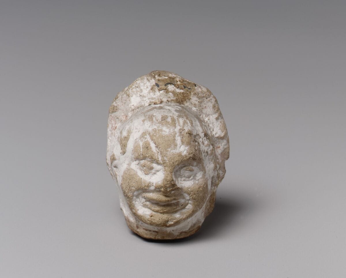
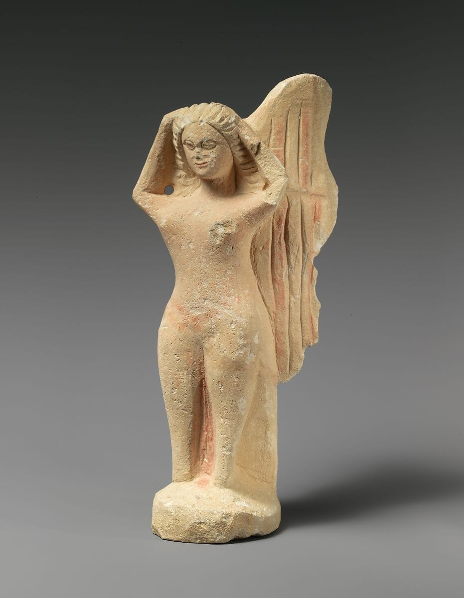
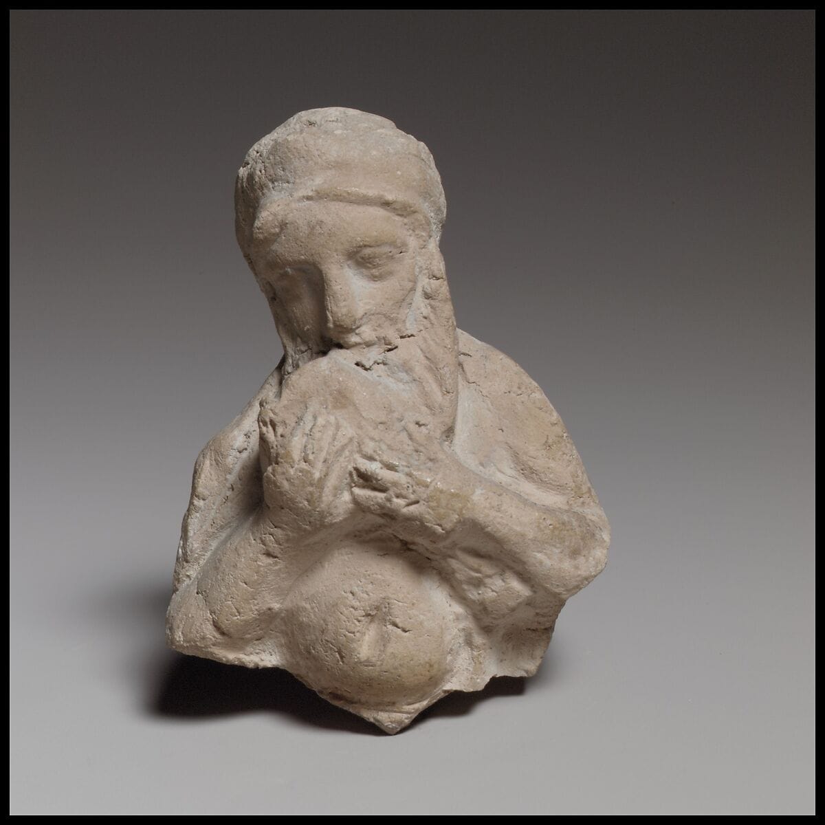
Objects in our catalogue, in museum collections, recorded as found at these sites.

Background
Where to read more on this site before or after watching.
The site
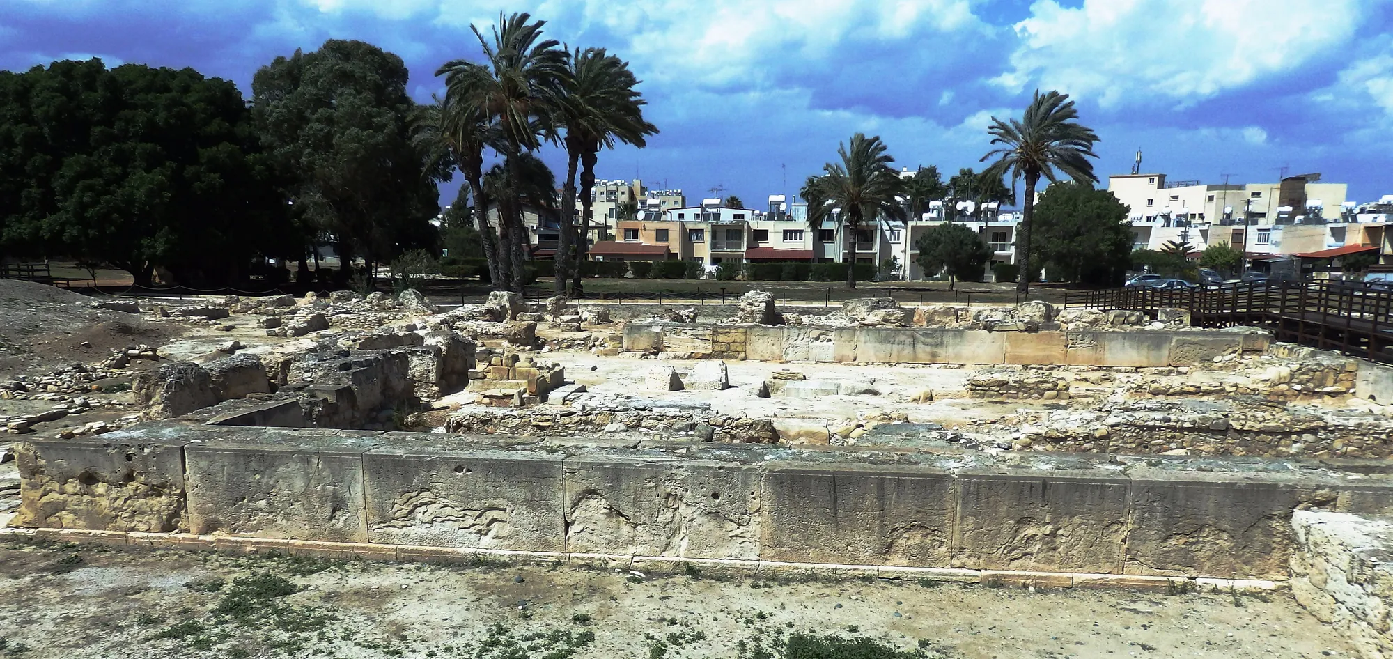
Kition
Kition lies under modern Larnaca on the south-east coast. It was founded as a harbour town in the 13th century BC, with temples and copper workshops in its sacred quarter at Kathari. After a long gap the Phoenicians rebuilt the main temple for Astarte, and from the 5th century BC the city was the seat of a Phoenician dynasty with a war harbour of ship sheds at Bamboula. Its last king was put to death by Ptolemy I in 312 BC, but the city lived on into the Roman period and beyond.
In the compendium
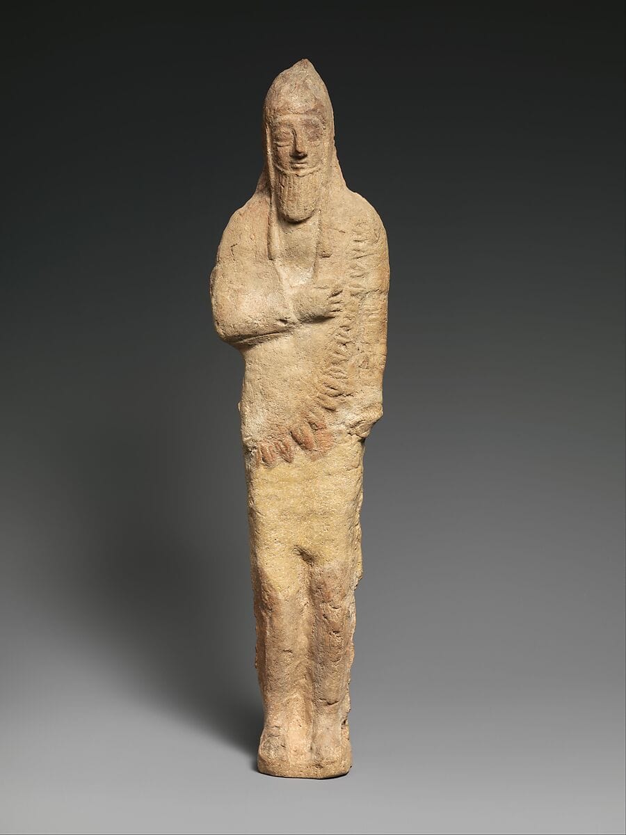
Neo-Assyrian Empire and Cyprus
The Mesopotamian empire to which the Cypriot kings submitted around 709 BCE, ruling them indirectly as tribute-paying clients.
In the compendium
The Phoenicians
The Iron Age city-states of the Levantine coast, whose traders and settlers made Kition a Phoenician kingdom and shared a hybrid culture with Cyprus.
In the compendium
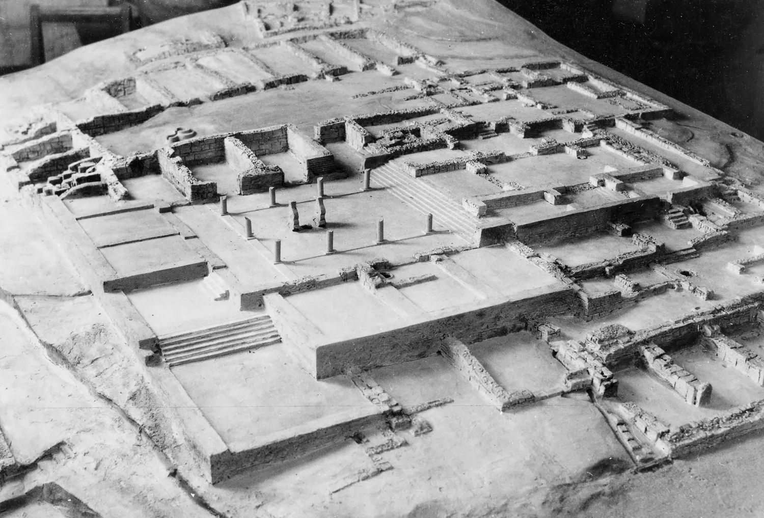
Iron Age Cities and Palaces
The capitals of the Iron Age kingdoms of Cyprus, their palaces at Vouni, Amathus, Idalion and Palaepaphos, their houses, and the volute and Hathor capitals of the period.
Map of Cyprus
Places discussed in the talk
- Has a page on this site
- Other places
- Ground above 200, 500, 1,000 m