
Christian village · Sheet 14
Áyios Týkhonas
- 1881 census
- Ayios Tykhonas
- Greek
- Άγιος Τύχωνας · Ágios Týchonas (ELOT 743) (Wikidata)
- Spellings in our records
- Ágios Týchon, Agios Tychon, Ayios Tychon, Ayios Tychonas, Agios Tychonas, Ayios Tykhonas, Agios Tykhonas
- In the literature
- Aghios Tychona, Ajios Tychonas, Ayios Tykhonas
- Sites
- Amathus · Amathus-Diplostrati · Amathus-Eastern Necropolis · Amathus-Northern Necropolis · Amathous-Vikles · Amathus-Western Necropolis · Ayios Tychonas-Doxamenes · Ayios Tychonas-Klimonas
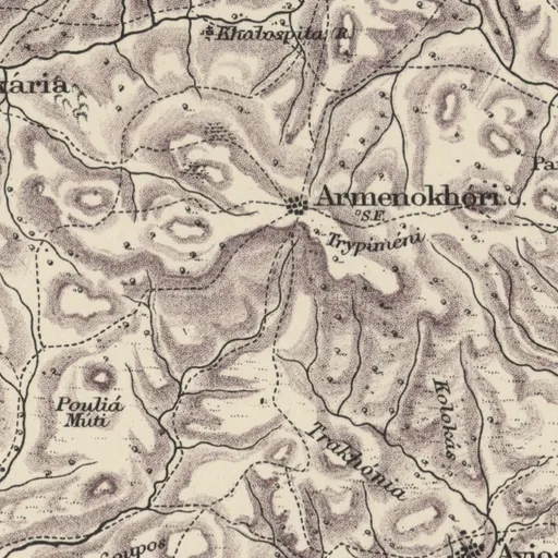
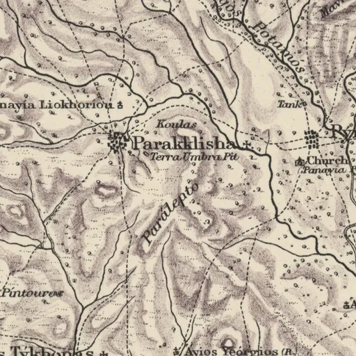
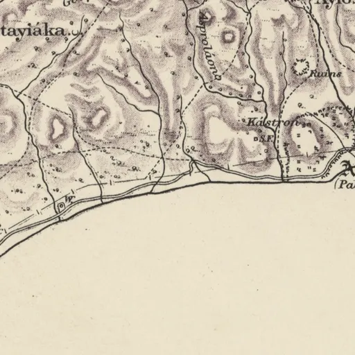
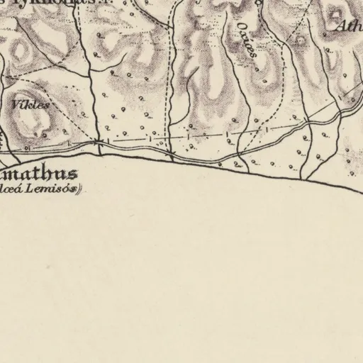
Nearby on the sheet
Villages within 3 km
- Armenokhóri · village2.5 km NW
- Parakklisha · village2.8 km NE
Distances are straight lines between the positions of the names on the sheet.
In the literature
The place's names as printed in works published up to 1974, with the pages they appear on.
Aghios Tychonaprinted 9 times
- L. P. di Cesnola (1878). Cyprus: Its Ancient Cities, Tombs, and Temples, pp. 249, 283, 286, 287, 290 and 2 more
Ajios Tychonasprinted 3 times
Ayios Tykhonasprinted 3 times
Our records that name the place
Records are matched to this place by name and position; a record may mean another place of the same name.
Excavations2 excavations
Archive26 items
- Amathus: entrance to Tomb 18 after the excavation
- Excursion to Limassol, with a stop at Amathus
- Tomb 2 at Amathus, dromos before opening
- Tomb 2 at Amathus, interior
- Tomb 5 at Amathus, pottery in the dromos, in situ
- Tomb 8 at Amathus, upper layer
- Tomb 10 at Amathus, finds in situ
- Tomb 10 at Amathus, with cover stones
- Tomb 11 at Amathus, find in situ
- Tomb 11 at Amathus, find layer from the north
- Tomb 11 at Amathus, finds in situ
- Tomb 13 at Amathus
and 14 more
Documents7 documents
- À propos de la production céramique chypro-géométrique d'Amathonte
- Chronique des fouilles et découvertes archéologiques à Chypre en 1981
- Cyprus in Texts from Graeco-Roman Antiquity
- Duplex Amathusia
- L'apport des fouilles françaises d'Amathonte à l'archéologie chypriote
- L'École française d'Athènes et Chypre : 135 ans d'histoire
- Un sanctuaire phénicien du royaume d'Amathonte : Agios Tychonas - Asvestoton
People15 people
- Wilhelm Froehner
- Pierre Aupert
- Demos Christou
- Eleni Procopiou
- Justus Siegismund
- Jean Guilaine
- Joseph von Hammer-Purgstall
- Jean-Denis Vigne
- David Jordan
- François Briois
- Catherine Petit
- Governor of Limassol
and 3 more
Museum records301 records
Ashmolean Museum, Oxford (192) · British Museum (109)
Sources
- Map
- H. H. Kitchener, Trigonometrical Survey of Cyprus, 1 inch to 1 mile, 1882 (scans: National Library of Scotland, CC BY)
- 1881 census
- 1881 census places: Harokopio University, Mendeley Data 10.17632/dvvm9cns2x.2 (CC BY 4.0)
- Lands and Surveys
- Department of Lands and Surveys, Geographical Names and Localities (INSPIRE), data.gov.cy (CC BY 4.0)
- Greek names
- Greek names: Wikidata (CC0); romanised by ELOT 743
- GeoNames
- Greek names where Wikidata has none, and other modern names: GeoNames, geonames.org (CC BY 4.0)
- Toponyms
- Department of Lands and Surveys, Toponyms (cadastral map layer 19), data.gov.cy dataset 157 (CC BY 4.0)
All the names on the sheets: Place names on Kitchener's map