
Fieldwork·Brief
Drone photos record about 70 looted chamber tombs near Amargeti in the Paphos hills
A University of Graz survey in October 2025 also picked up a Middle Cypriot jug handle, a gaming stone and Roman pottery around the village.



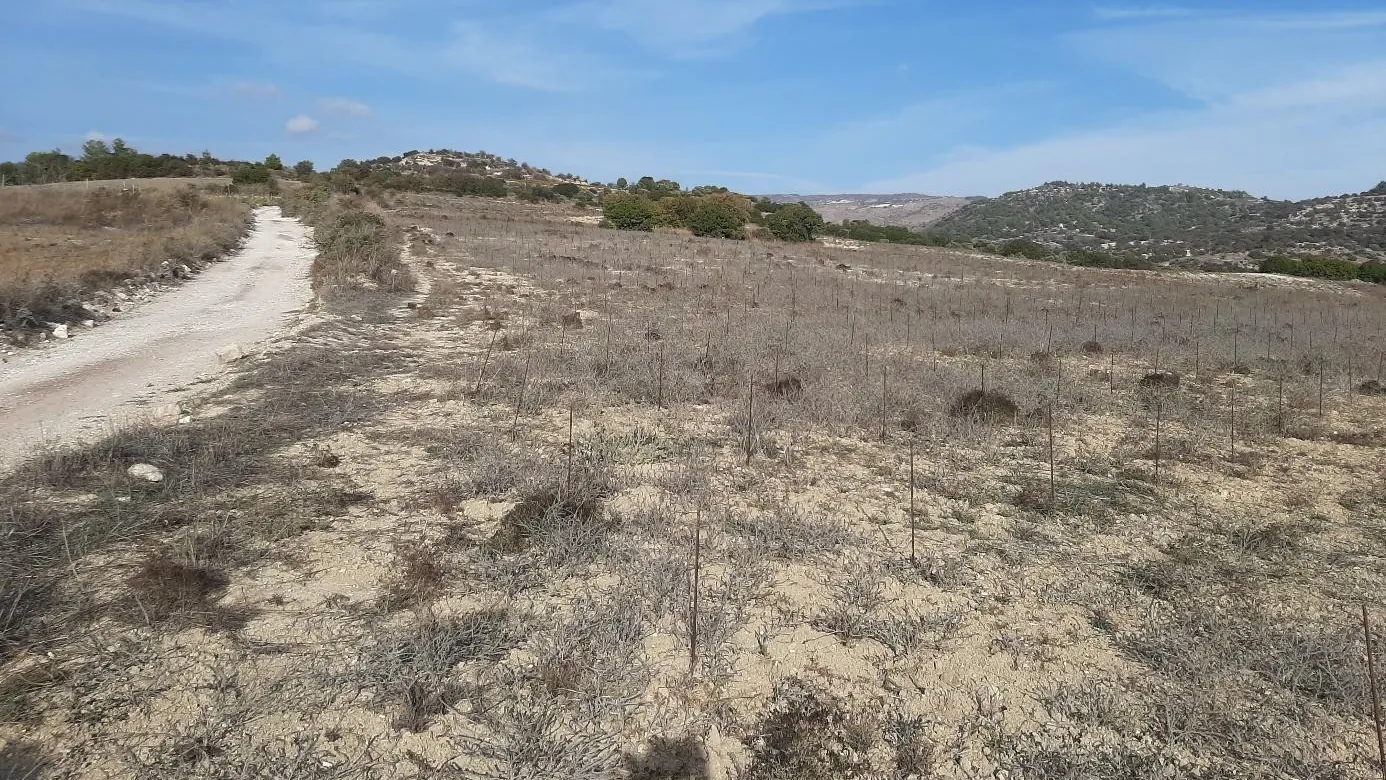
The Department of Antiquities announced on 22 January 2026 that drone photography had recorded about 70 looted chamber tombs in the Acherona forest, south of the village of Amargeti in the Paphos district. The photographs were taken during a five-day survey by the University of Graz, directed by Associate Professor Gabriele Koiner, from 27 to 31 October 2025.
What the survey found
The team collected broken pottery around the robbed tombs, including one sherd of Iron Age date. North of the village, at Asomatos, the walkers picked up medieval sherds and terracotta fragments that, according to the Department, show activity nearby from the Archaic period onwards. Loura tou Arkana appears to have been in use in the Iron Age, and Roman sherds came from Petros Anthropos and Xeroargarka.
The season's oldest material came from Teratsoudi and Sotira: Bronze Age finds, among them the handle of a Middle Cypriot jug and a gaming stone. Towards the Xeros Potamos valley, a Roman site at Loutra yielded fine and coarse wares, fragments of amphorae (two-handled transport jars) and roof tiles. A few coarse-ware sherds lay along the way down to the so-called Venetian bridge at Routhounia, close to which the team identified an old track.
Map of Cyprus
Amargeti in the Paphos hinterland
- Ground above 200, 500, 1,000 m
Sites on this map
- 1Amargeti (approx.)
- 2Palaepaphos (Kouklia)
- 3Nea Paphos
A sanctuary dug in the 1880s
Amargeti sits at about 390 metres on the lower slopes of the Troodos, between the Ezousa river to the west and the Xeropotamos to the east [1, p. 87]. The field north of the village called Petros Anthropos, "man of stone", owes its name to the many limestone statuettes found there in the 19th century [1, p. 87]. Aristides of Chrysochou dug at Amargeti for Colonel Warren in about 1886. In May 1888 the Cyprus Exploration Fund, with D. G. Hogarth in charge, trenched a vineyard at Petros Anthropos and found dedications to Apollo Melanthios and to Opaon Melanthios, a god otherwise unattested on Cyprus [1, p. 88]. After the division with the colonial government, Hogarth's share went to the British Museum, the Ashmolean and the Fitzwilliam. Hogarth saw the tombs on the rocky hill north of the site and passed them by: "their contents do not repay much exploration," he wrote [1, p. 88].
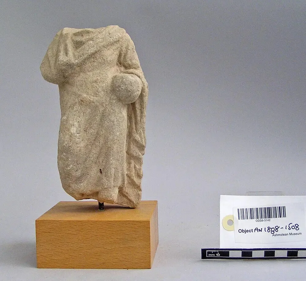
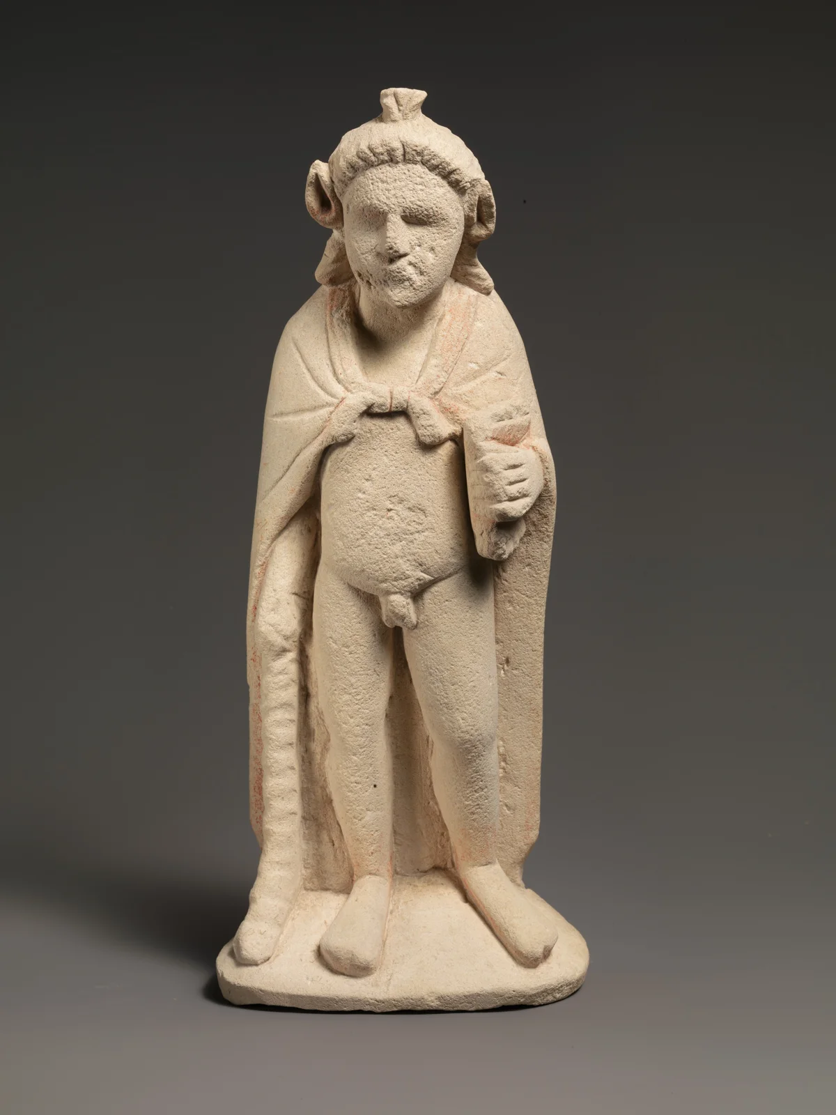
The Canadian Palaipaphos Survey Project, which explored the hinterland of Kouklia from 1979 to 1991, located several sites in and around the village from small pottery collections ranging from the Classical to the Ottoman period [1, p. 89]. Well-preserved Geometric and Archaic vessels from illegally opened tombs at Amargeti were confiscated by the Department of Antiquities [1, p. 89]. Tomb robbing of this kind in the Paphos district is part of the wider record of chance finds and opportunistic digging in the south.
The Graz project since 2019
The Graz Amargeti Survey began with a campaign from 22 to 29 October 2019 in the fields of Asomatos and Petros Anthropos. Its aims were to find the sanctuary Hogarth had dug and to record remains of every period [2]. Aerial photographs and satellite images were analysed in advance, and a ground-penetrating radar team worked over part of the same ground [2]. Around the ruined church of Agios Asomatos the walkers collected pottery from the Bronze Age to the medieval period, with heads and other fragments of human and animal terracotta figurines dated from the Archaic to the Hellenistic period [2]. Images taken before the 1980s were judged the most useful, because more intensive farming since then has damaged the sites [2]. The team's report on that season names continuing illegal digging as one reason the survey was needed [1, p. 87].
Original sources
On ancientcyprus.com
- Excavations
- Amargeti: the Graz Amargeti Survey, Amargeti: the Cyprus Exploration Fund (1888), Amargeti: Aristides's excavation for Colonel Warren
- Institutions
- University of Graz, Department of Antiquities of Cyprus, Cyprus Exploration Fund, Ashmolean Museum of Art and Archaeology, British Museum, Fitzwilliam Museum
- Periods
- Middle Bronze Age, Cypro-Archaic, Roman
References
- 1.Koiner, G., Ambros, G., Christof, E., Lohner-Urban, U., Puhm, A., Sturmann, S., Morawetz, R. and Milchrahm, A. (2022). Der Survey in Amargeti, Pafos District, Zypern, im Jahr 2019. In G. Koiner, A. Konecny, A. Landskron, M. Lehner and P. Scherrer (eds), Akten des 18. Österreichischen Archäologietages am Institut für Antike der Universität Graz.
- 2.Koiner, G., Ambros, G., Christof, E., Lohner-Urban, U., Puhm, A., Sturmann, S., Morawetz, R. and Milchrahm, A. (2020). The Graz Amargeti Survey 2019, Pafos District, Cyprus. Forum Archaeologiae 94/III/2020.
More in Fieldwork
- Hellenistic quarry under Paphos's Fabrika hill became an unused tomb, then a church
- This Week in Cypriot Archaeology: 31 August–6 September 2026
- Hollows cut into a Bronze Age threshold at Erimi match a senet game board
- This Week in Cypriot Archaeology: 27 July–2 August 2026
- Grape seeds and unfired loom weights found in Bronze Age work complex at Erimi-Pitharka