
Conference paper·Archaeological Research Unit - University of Cyprus·2022
1st Graduate Forum for Mediterranean Archaeology: landscapes in Sardinia, Cyprus and Western Achaea
Tiemen Klingenberg, Niki Kyriakou, Kostas Papagiannopoulos and Chrystalla Loizou
Chapters
About the video
This session of the 1st Graduate Forum for Mediterranean Archaeology, hosted by the University of Cyprus, presents four doctoral projects in landscape and spatial archaeology across Sardinia, Cyprus, and Greece.
Tiemen Klingenberg of Ruhr University Bochum presents his work alongside that of his colleague Marie Zadow within the Making Landscape Project on Sant'Antioco in southwestern Sardinia. Klingenberg combines field observations with GIS viewshed and sound propagation models to study the visual and acoustic reach of the island's Nuragic towers. He identifies one group oriented toward the coast and another overlooking the inland Canai plain, spaced one to three kilometres apart in a way that allowed visual monitoring and rapid acoustic communication. Presenting Zadow's research on Nuragic pottery and a 2020 raw material survey, he shows how potters avoided coastal calcite-rich clays prone to lime spalling and instead used volcanic rhyolitic clays near giant tombs and wells, as well as shared alluvial sediments from the plain.
In a pre-recorded paper, Niki Kyriakou of the University of Cyprus outlines her GIS study of the Late Antique countryside of Cyprus from the fourth to the mid-seventh centuries AD. Drawing on surveys and records from the Department of Antiquities, she maps how farmsteads, villages, workshops, and basilicas related to urban centres such as Salamis, Paphos, and Lapithos, and to roads, water, arable land, and pillow lavas. She concludes with a 2016 survey conducted with Chrystalla Loizou under Athanasios Vionis in the buffer zone around Deneia and Akaki, noting a basilica site west of Deneia and the Late Roman building at Akaki-Pigadia.
Kostas Papagiannopoulos of the University of Cyprus examines settlement evolution around Patras in Western Achaea during the Frankish period, from the thirteenth to the mid-fifteenth century. Using the Chronicle of the Morea, Ottoman registers, and survey ceramics, he tests Thiessen polygons and viewshed models on 17 Frankish castles. Finding little intervisibility between the towers, he argues that they functioned as local hubs for administration, tax collection, and storage over individual fiefs. A cost-surface analysis of the castle of Kamenitsa along the Peiros River estimates its fief at 28 to 30 square kilometres.
In a second pre-recorded paper, Chrystalla Loizou uses the Deneia and Akaki survey to trace rural settlement in medieval Cyprus from the twelfth to the sixteenth centuries. Surface pottery around Deneia shows a small twelfth-century nucleus followed by expansion under Frankish and Venetian rule, peaking from the mid-fifteenth century. At the hill church site two kilometres west of Deneia, twelfth- to sixteenth-century glazed wares and church phases point to a religious complex and pilgrimage site associated with holy water. At Akaki-Pigadia, thirteenth- to sixteenth-century sherds along the riverbed reflect agricultural activity and wash from Akaki, which the Chronicle of Amadi and Leontios Machairas record as a feudal casale and royal residence.
In the discussion, Klingenberg explains how LiDAR elevation models, archaeobotanical data, and weather variables enter his acoustic GIS tool, and Papagiannopoulos uses pottery scatters and church dedications around Kamenitsa to trace the hierarchy of Frankish lords, lesser landowners, and peasants.
Background
Where to read more on this site before or after watching.
The site
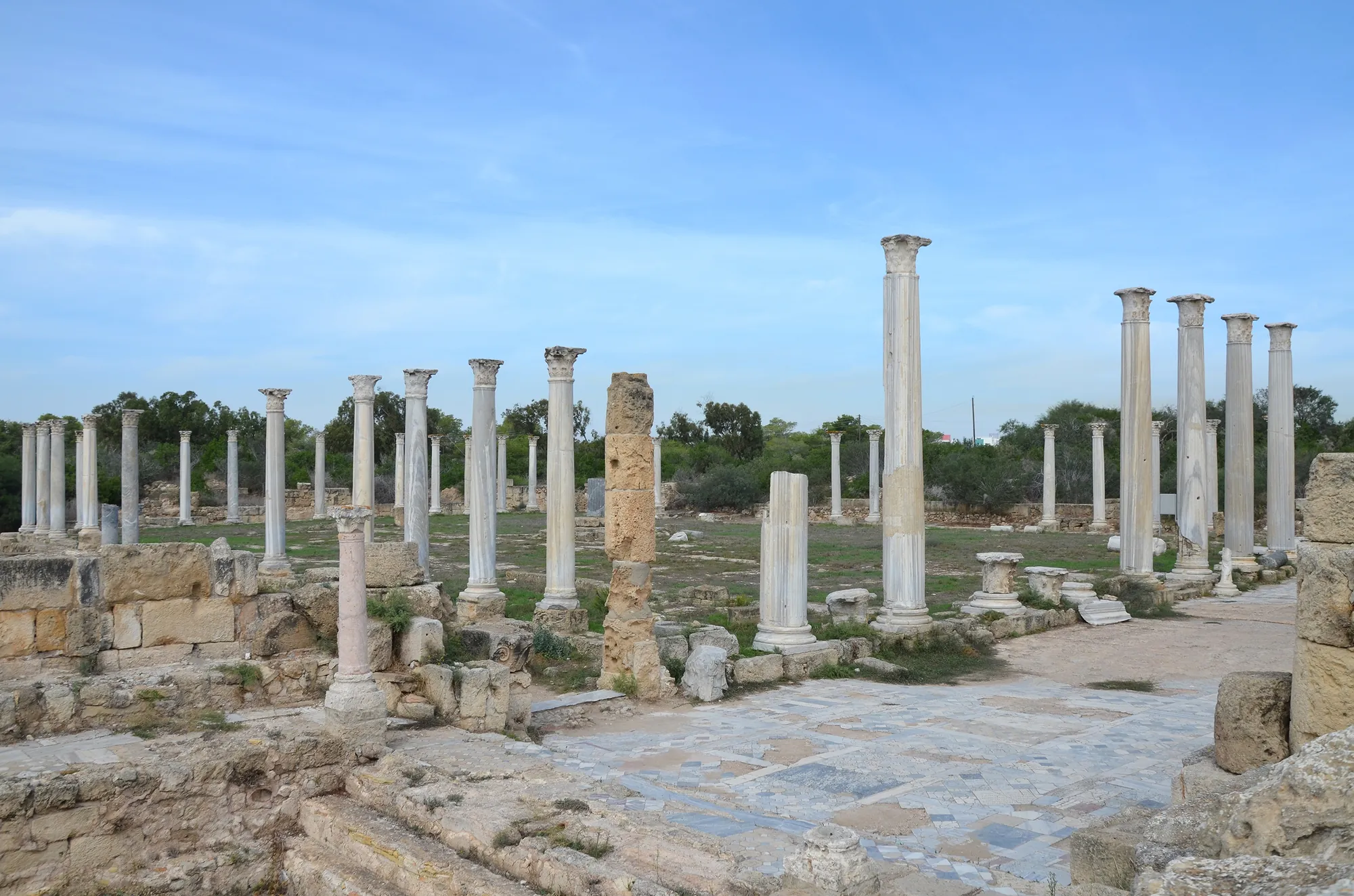
Salamis
A city on the east coast of Cyprus at the mouth of the Pedieos river, founded in the 11th century BC and one of the leading city-kingdoms of the island until 311/310 BC. It is known for the Royal Tombs with their sacrificed horses and chariots, for its Roman gymnasium, baths and theatre, and as Constantia, seat of the bishops of Cyprus from the 4th century AD. The site lies in the north of the island; the Cypriot and French excavations stopped in 1974.
The period
Roman
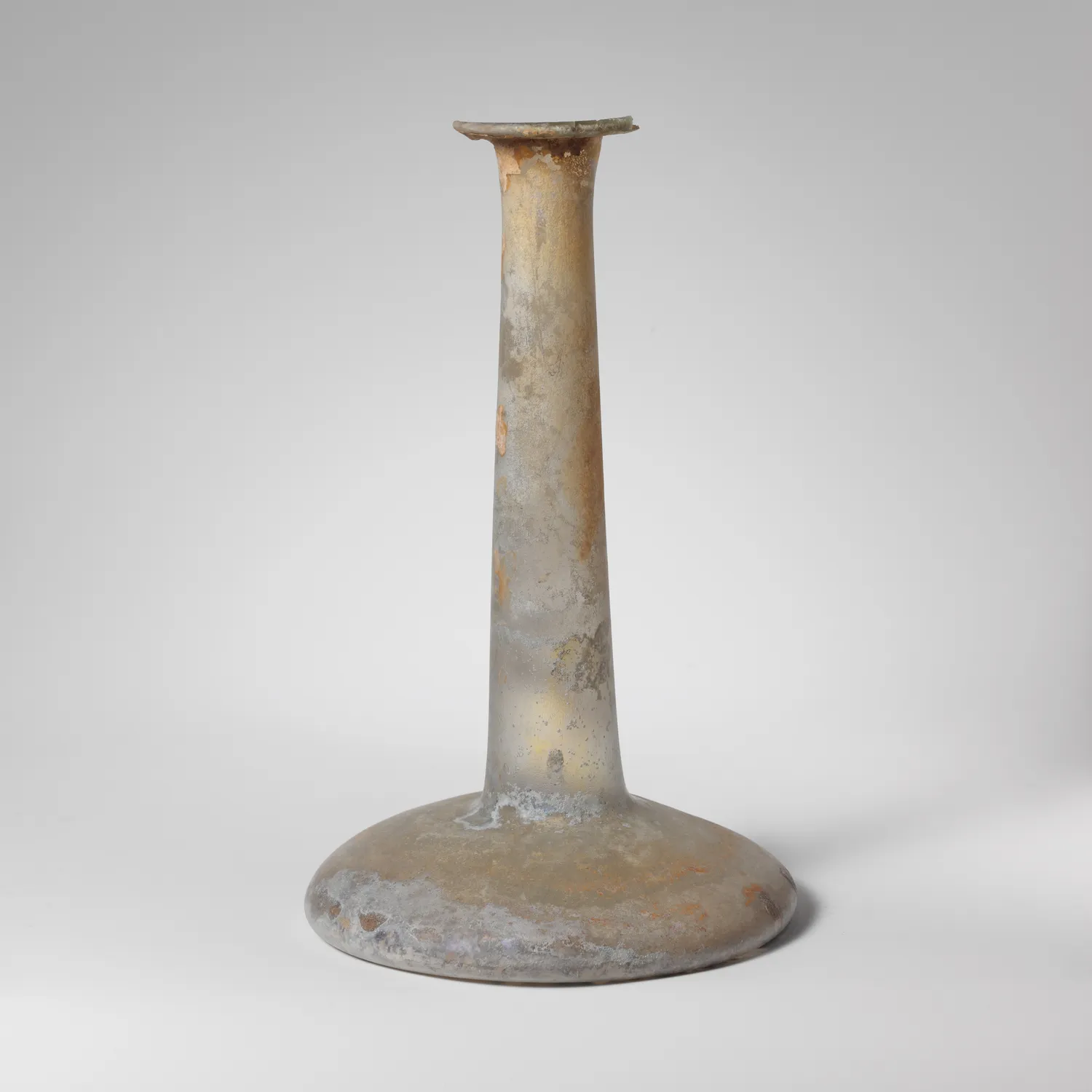
Cyprus as a Roman province from 58 BCE to the fourth century CE, governed from Nea Paphos, mined for copper, and finally wrecked by earthquakes.
Map of Cyprus
Places discussed in the talk
- Has a page on this site
- Other places
- Ground above 200, 500, 1,000 m