
Fieldwork·News
Geophysical survey searches for buried remains at Agia Marina Xyliatou, a Roman copper-smelting site
The Life at the Furnace project's short 2026 season, which ended on 23 September, added ground scans and soil sampling in the Peristerona valley of the Troodos foothills.



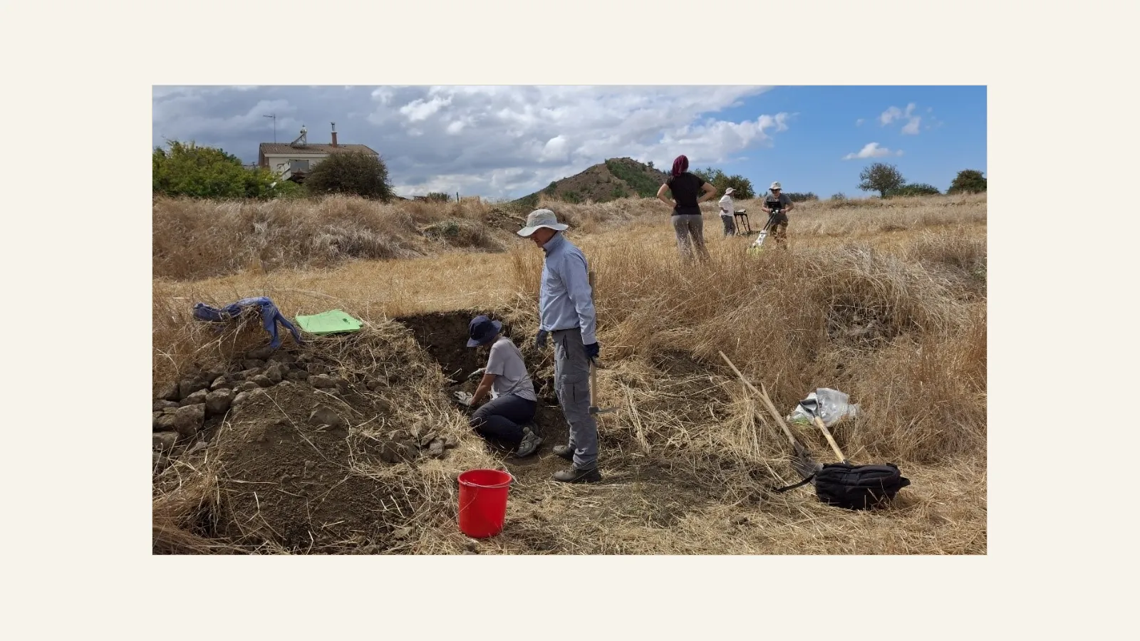
Geophysicists have scanned the ground for buried remains at Agia Marina Xyliatou, a village in the Peristerona river valley of Nicosia District where copper was smelted in Roman times. The Department of Antiquities announced on 9 November that Life at the Furnace, the Copenhagen and Uppsala project, finished a short season of work there on 23 September 2026. Alongside the scans, the team recorded soil sections and took samples to trace how the valley's land was used over time.
The project's 2025 season, which we reported in October, turned up figurine fragments pointing to an Iron Age sanctuary on a plateau near the village, a later settlement on the same spot and signs of copper smelting there.
Two kinds of work in 2026
According to the Department, Dr Apostolos Sarris of the University of Cyprus led the geophysical survey. Its aim was to locate archaeological remains still buried below ground.
The second strand was geoarchaeological. Under the direction of Dr Myrsini Gkouma of The Cyprus Institute, the team drew and described the layers exposed in section and cut out samples for micromorphology, the examination of soils and sediments under the microscope. The Department says this work is meant to show how the terrain and the use of the land changed in the area over time. A photograph released with the announcement shows both activities on the same field, with a small trench in the foreground and survey equipment behind.
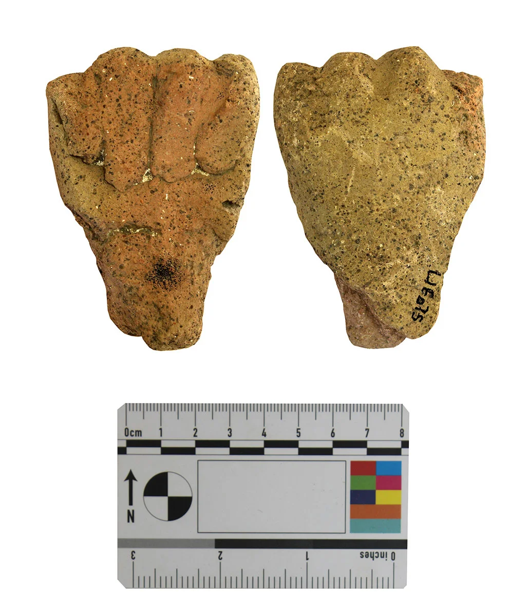
According to the Department, the settlement grew up on the site of the sanctuary in the Hellenistic period and stayed in use until the end of antiquity, and there are indications that copper was smelted there.
The project and its questions
Dr Kristina Winther-Jacobsen of the University of Copenhagen and Dr Angus Graham of Uppsala University direct Life at the Furnace, working with The Cyprus Institute. They combine finds with environmental evidence to ask how copper production in Roman Cyprus shaped society and the environment in the north-western foothills of the Troodos. Their study area is the Peristerona valley around the Mavrovouni slag heap, taking in the lands of Orounta, Kato Moni and Agia Marina Xyliatou, and the hill country further in, around Xyliatos and Nikitari. The Carlsberg Foundation and the Enboms Foundation fund it.
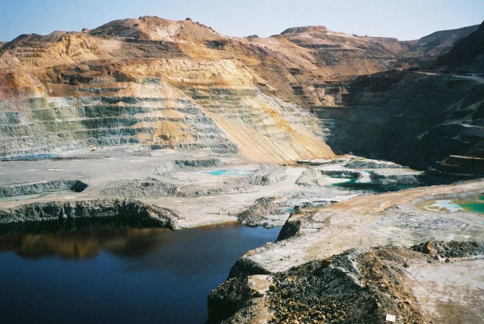
The Troodos Archaeological and Environmental Survey Project, which recorded the Mavrovouni heap and the smelters' settlement in the early 2000s, found that the Late Roman smelters there, like those at Skouriotissa to the west, fuelled their furnaces mostly with Cyprus pine (Pinus brutia) [1]. Skouriotissa worked on a far larger scale: its slag heap, built up mainly in the Roman period, has been estimated at 2 million tons [1].
Map of Cyprus
Roman copper smelting in the northern Troodos foothills
- Ground above 200, 500, 1,000 m
Sites on this map
- 1Ayia Marina-Mavrovouni (approx.)
- 2Skouriotissa (approx.)
The specialists on the team
Both specialists brought methods they have used on other Cypriot sites. Sarris's geophysical work on the island goes back to 1990, when a University of Patras and University of Nebraska-Lincoln team surveyed near the sanctuary at Malloura in the Athienou valley; he was one of the authors of its reports, and geophysics later helped the excavators there decide where to dig. The geophysical survey for the Palaepaphos Digital Atlas of 2002 and 2003 was published in 2006 with Sarris as lead author.
Gkouma used micromorphology at Palaepaphos to study how the Laona tumulus was built. Her paper with Panagiotis Karkanas and Maria Iacovou, published in Geoarchaeology in 2021, used microstratigraphic analysis to show how the builders selected their materials.
Original sources
- Υφυπουργείο Πολιτισμού (gov.cy)
Official release·
- Deputy Ministry of Culture (gov.cy)
Official release·
On ancientcyprus.com
References
- 1.Ntinou, M. (2013). Charcoal Analysis. In M. Given, A. B. Knapp, J. Noller et al. (eds), Landscape and Interaction: The Troodos Archaeological and Environmental Survey Project, Cyprus. Volume 1: Methodology, Analysis and Interpretation. Oxford and Oakville: Council for British Research in the Levant and Oxbow Books. Chapter 3.10.
More in Fieldwork
- French team finds 8th–7th century BC walls beneath Classical stone robbing at Kition
- Heritage committee to restore Maronite churches and an Armenian monastery in the occupied north
- Karavas churches of 1804 and 1854 restored by Greek Cypriot and Turkish Cypriot conservators
- New Central Prisons at Agios Sozomenos to be kept apart from the Bronze Age site
- Iconostasis and monk-painted walls restored at the monastery of Saint Barnabas near Salamis