
Fieldwork·Brief
Horse and bull figurines mark an Iron Age sanctuary near a Roman copper slag heap in the Troodos
In 2025 the Copenhagen and Uppsala Life at the Furnace team also excavated plastered basins and cisterns on three terraces at Agia Marina Xyliatou-Mavrovouni.



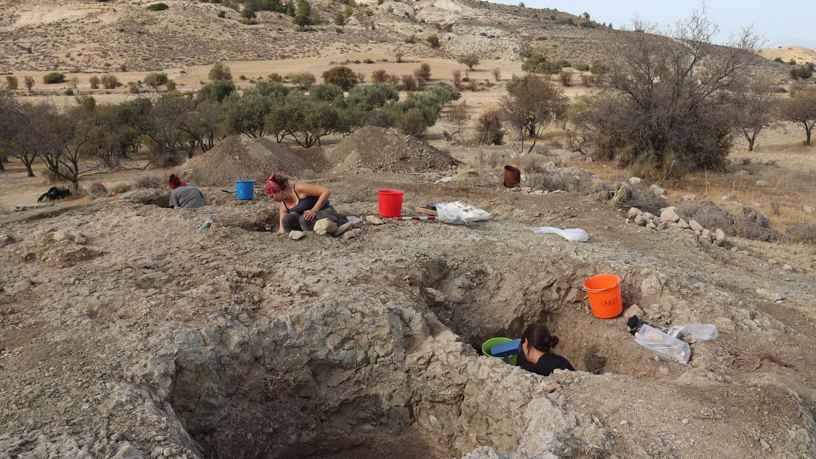
Fragments of clay figurines picked up on a small farmed plateau just north of Agia Marina Xyliatou, in the north-western foothills of the Troodos, point to an Iron Age sanctuary there. The Department of Antiquities announced the find in its report on the 2025 season of the Life at the Furnace project, published online on 7 January 2026. The team, from the University of Copenhagen and Uppsala University, ended its fieldwork on 7 November 2025.
From sanctuary to copper-working village
The surface finds include handmade horses, a bull and pieces of large human figures, along with a mould-made figure of Astarte. In the Hellenistic to Early Roman and the Late Roman periods, according to the Department, a settlement took the sanctuary's place. A discrete scatter of copper slag on the plateau suggests that this later village was probably the one producing copper.
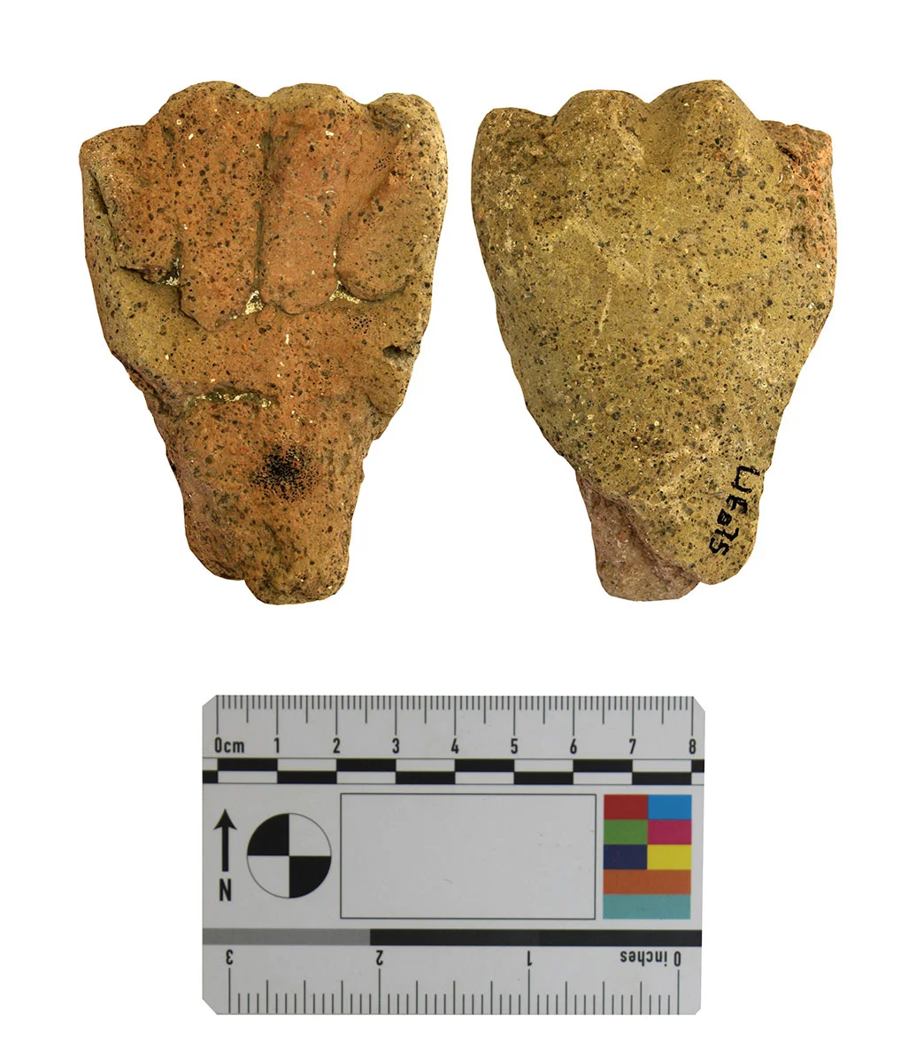
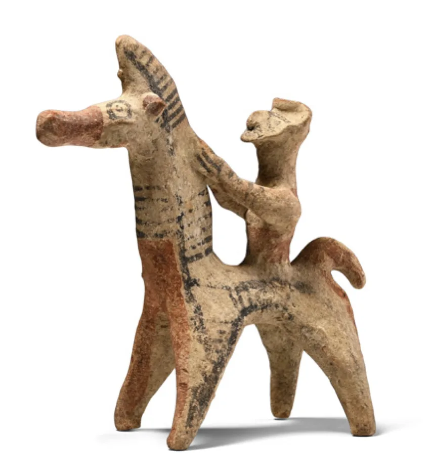
Clay horses, many of them carrying riders, were offered in sanctuaries and placed in tombs across Iron Age Cyprus, most of all in the Cypro-Archaic period.
The surveyors also worked where the Peristerona river is crossed, on the boundary between Kato Moni and Orounta, and mapped the setting of the Chalcolithic site of Stavros tou Kounti. The project's survey area runs from the Peristerona valley up into the hill country around Xyliatos and Nikitari.
Water works on the Mavrovouni knoll
The main excavation was on the knoll of Agia Marina Xyliatou-Mavrovouni, where a surface clearance in November 2024 had identified structures. Digging in 2025 exposed basins, cisterns and plaster-lined installations for handling water, set out over three artificial terraces. The earth later dumped into them is mostly Late Hellenistic to Middle Roman, a sign of busy occupation in those centuries. How the water system related to copper smelting has still to be worked out, the Department says.
Dr Kristina Winther-Jacobsen and Dr Angus Graham direct the project, working with The Cyprus Institute; Dr Roser Marsal of the Universitat Autònoma de Barcelona directs the excavation. Their question is what Roman-era copper production, run for an empire that ruled Cyprus from outside, did to the people and the environment of the north-western foothills. The Carlsberg Foundation and the Enboms Foundation pay for the work.
Earlier work at Mavrovouni
The Troodos Archaeological and Environmental Survey Project recorded the slag heap and the settlement beside it. Mavrovouni, "Black Hill", takes its name from the slag [1]. Quarrying for road metal has cut the heap down to about 30 by 45 m and 4 m high, roughly the 10,000 tons that Pantazis estimated in 1969 [1]. Charcoal from the base of the surviving section gave a radiocarbon date of 400–540 CE, with another metre of slag above it [1].
That survey placed the smelters' houses south of the heap, perhaps only 100 m from it. It read the character of the pottery and the absence of luxury goods as signs that production was controlled from outside, and thought it more likely that food came up from farms on the plain [1]. Graham, Winther Jacobsen and Vasiliki Kassianidou had published a preliminary report on the Roman settlement and smelting workshop in 2006 [2].
Original source
On ancientcyprus.com
References
- 1.Given, M., Knapp, A. B., Noller, J. et al. (eds) (2013). Landscape and Interaction: The Troodos Archaeological and Environmental Survey Project, Cyprus. Volume 2: The TAESP Landscape. Levant Supplementary Series 15. Oxford and Oakville: Council for British Research in the Levant and Oxbow Books. Chapter 4.6, Roman Smelting and Settlement at Ayia Marina Mavrovouni (TS02).
- 2.Graham, A., Winther Jacobsen, K. and Kassianidou, V. (2006). Agia Marina-Mavrovouni. Preliminary report on the Roman settlement and smelting workshop in the central northern foothills of the Troodos Mountains, Cyprus. Report of the Department of Antiquities, Cyprus 2006, 345–367.
More in Fieldwork
- Hellenistic quarry under Paphos's Fabrika hill became an unused tomb, then a church
- This Week in Cypriot Archaeology: 31 August–6 September 2026
- Hollows cut into a Bronze Age threshold at Erimi match a senet game board
- This Week in Cypriot Archaeology: 27 July–2 August 2026
- Grape seeds and unfired loom weights found in Bronze Age work complex at Erimi-Pitharka