
Collection·École française d'Athènes
The French survey of the territory of Amathus: figures and maps
410 items: 401 drawings, 9 maps.
Held by École française d'Athènes. Rights, sources and how to cite
Explore
Its 401 objects can also be browsed by object type, condition, material, period and ware, with the most complete pieces first: Objects in the Archive →
410 items
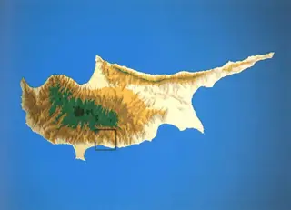 Map of the Amathus survey territory
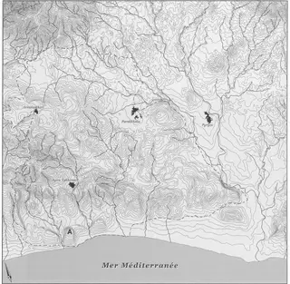 Hypsometric map of the Amathus area
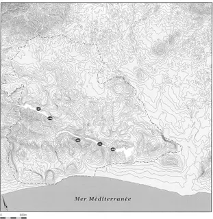
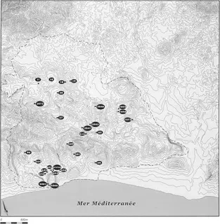
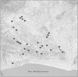 Distribution map of Neolithic sites, Amathus survey
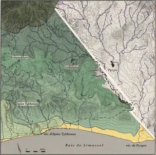 Maps of the major geomorphological combination types, Amathus survey area
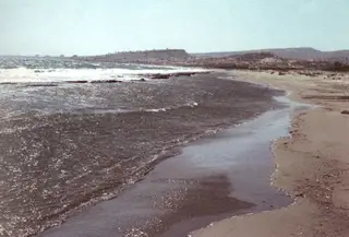 Southern landmark: Limassol bay coastline, Pyrgos river mouth
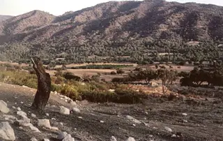 North landmark: slopes of the Troodos massif above the Amathus survey area
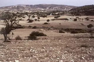 Eastern margins of the survey area, Pyrgos river corridor
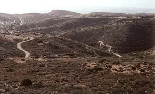 Oblique views of the three hill tiers, Amathus survey
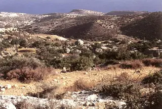 Oblique views of the three hill tiers, Amathus
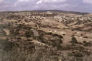 Dissection topography in rocky material, south-west of Parekklisia
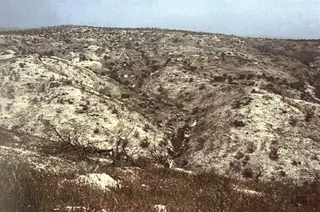 Convex ridges south-east of Armenochori
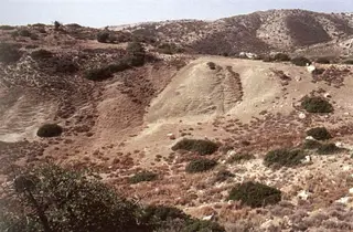 Throumpovounos site, elementary gullying in limestone beds, Amathus survey
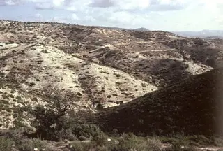 Dissection landforms above Agios Tychonas, upper hill sector
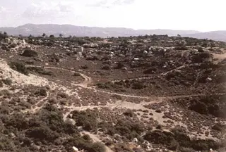 South-east edge of the Armenochori plateau, Amathus survey
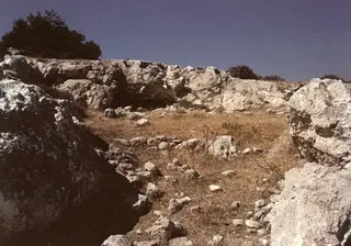 East of Armenochori, locality Saint-Georges: rock shelter detail
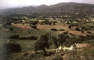 West-East corridor below the Troodos, near Armenochori
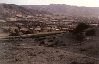 View from the Armenochori area towards the Parekklisia and Pyrgos basin
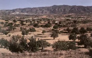 General view from the south to the north, Parekklisia basin
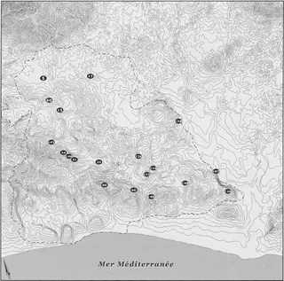 Distribution map of Pre-Pottery Neolithic sites, Amathus survey
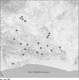 Distribution map of Pottery Neolithic sites
 Distribution of chert formations in the Lefkara chalks
 Distribution map of an undetermined Neolithic site, Amathus survey
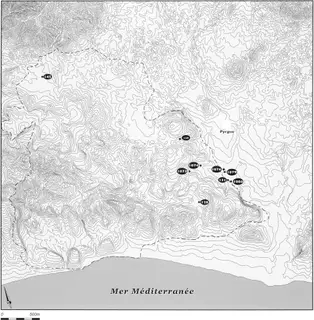 Distribution map of Bronze Age sites, Amathus survey
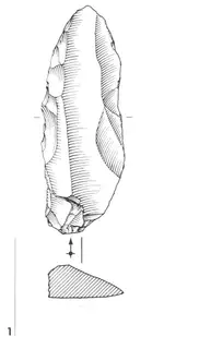 Backed knife, survey sector 5008, Stavrodromi-Armenochori
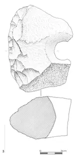 Fragment of a shaped disc with central perforation, Amathus survey sector 5008
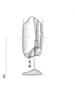 Flint blade fragment, survey sector 5009, Amathus
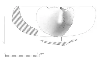 Diabase vessel fragment, survey site 0011, sector 1073
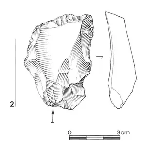 End-scraper on flake, Amathus survey, Site 0011 no. 2
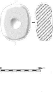 Cupped stone piece in diabase, Paktomena-Armenochori
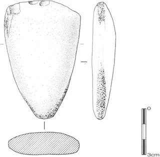 Polished tool reused as hammerstone, Magkana-Parekklisia
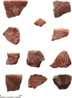 Sodra-period ceramic fragments, Amathus survey
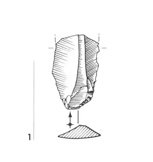 Raw blade, Shillourokampos-Parekklisia survey
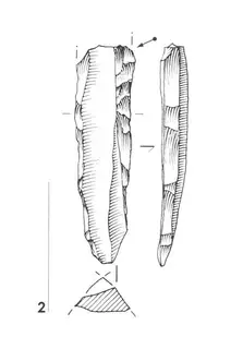 Technical blade used in bipolar core reduction, Shillourokampos
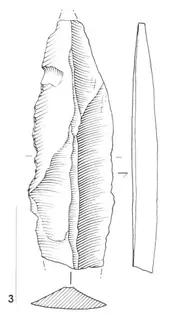 Preferential blade extracted from a bipolar core, Shillourokampos
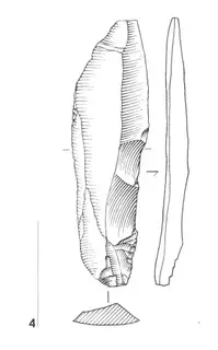 Technical blade used in bipolar core exploitation, Shillourokampos-Parekklisia
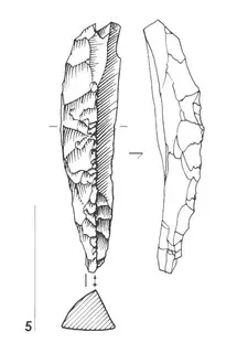 Technical blade used in bipolar core reduction, Shillourokampos
Series
2 series
Drawing: P.-Y. Péchoux, 2005. Prospection du territoire d'Amathonte, École française d'Athènes, Nakala, Fig.5-5. "Southern landmark: Limassol bay coastline, Pyrgos river mouth". CC BY 4.0. Resized. Map: Ph. Devèze, 2005. Prospection du territoire d'Amathonte, École française d'Athènes, Nakala, Fig.1. "Map of the Amathus survey territory". CC BY 4.0. Resized.
Corrections and additions
Do you hold related material?
Photographs, papers and records that belong with this collection are often held elsewhere, or privately.
We would like to hear about
- Related photographs, letters, diaries or records
- Identifications for items in the collection
- A mistake in our description of the collection
Tell us if you would like to be thanked by name on the page.