
Drawing·Fig.16-18·2005
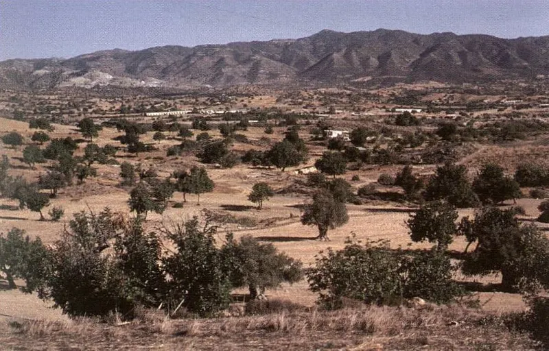
General view from the south to the north, Parekklisia basin
Drawing
English, translated from the French record
General view from the south to the north of the Parekklisia basin, into which the corridor between the Troodos and the hills of Amathus opens on the left of the image. In the background is the Moutti Sinoas, already noted in fig. 17. October 1990.
French, as on the record
Vue générale, du Sud vers le Nord, du bassin de Parekklisia, dans lequel débouche, à gauche de l’image, le couloir interposé entre le Troodos et les collines d’Amathonte. À l’arrière-plan, le Moutti Sinoas, déjà signalé fig. 17. Octobre 1990.
Corrections and additions
Can you tell us more about this?
If you can identify, date or place this item, or know where else it is recorded, we would like to hear.
We would like to hear about
- What it shows or records
- Its date, place or author
- Where else it is published or held
- A mistake in our description
Tell us if you would like to be thanked by name on the page.