
Map·Fig.4·2005
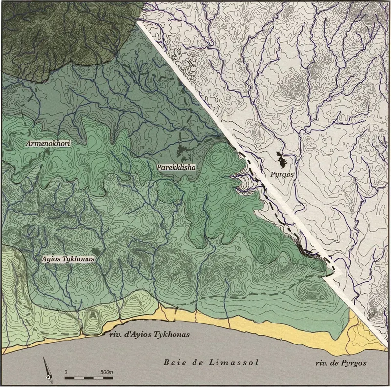
Maps of the major geomorphological combination types, Amathus survey area
Map
English, translated from the French record
Maps of the major types of geomorphological combinations recognised in the survey area, from the coast up to the slopes of the Limassol forest. Contour interval: 23 feet.
French, as on the record
Cartes des grands types de combinaisons géomorphologiques reconnues dans l’aire de prospection depuis le rivage jusqu’aux versants de la forêt de Limassol (Troodos). Equidistance des courbes de niveau : 23 pieds
Corrections and additions
Can you tell us more about this?
If you can identify, date or place this item, or know where else it is recorded, we would like to hear.
We would like to hear about
- What it shows or records
- Its date, place or author
- Where else it is published or held
- A mistake in our description
Tell us if you would like to be thanked by name on the page.