
Drawing·Fig.5-7·2005
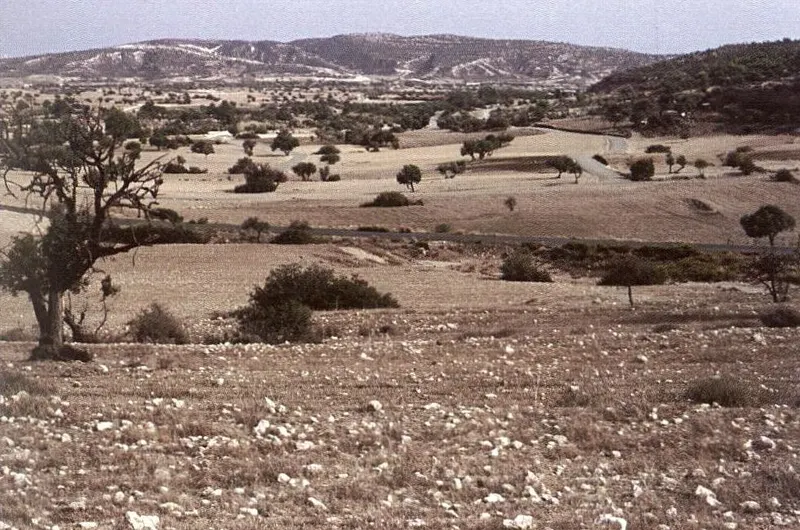
Eastern margins of the survey area, Pyrgos river corridor
Drawing
English, translated from the French record
At the eastern margins of the surveyed area, the Pyrgos river corridor seen from downstream towards upstream. A colluvial slope in the foreground joins a composite alluvial terrace in the middle distance. October 1991.
French, as on the record
Aux marges orientales de la zone prospectée. Le couloir fluviatile de la rivière de Pyrgos vu d’aval en amont. Raccord entre un talus colluvial, au premier plan, et une terrasse alluviale composite, au deuxième plan. Octobre 1991.
Corrections and additions
Can you tell us more about this?
If you can identify, date or place this item, or know where else it is recorded, we would like to hear.
We would like to hear about
- What it shows or records
- Its date, place or author
- Where else it is published or held
- A mistake in our description
Tell us if you would like to be thanked by name on the page.