
Drawing·Fig.13-14·2005
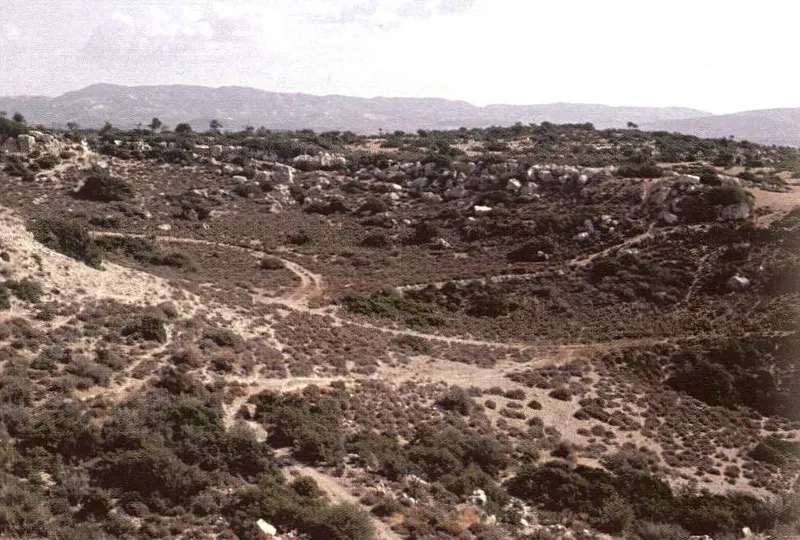
South-east edge of the Armenochori plateau, Amathus survey
Drawing
English, translated from the French record
The south-east edge of the Armenochori plateau, in the third tier of hills. Deeply dissected ravines cut into the crushed calcareous bedrock are dominated by a discontinuous summit cornice, reinforced by beds of calcareous conglomerate, which marked the former large piedmont. October 1992.
French, as on the record
Rebord Sud-Est du plateau d’Armenochori, dans le troisième échelon des collines. Les ravineaux, profondément disséqués dans le substratum calcaire broyé, sont dominés par une corniche sommitale discontinue, armée par des bancs de conglomérats calcaires, qui jalonnaient l’ancien grand piémont signalé fig. 10 et 13. Octobre 1992.
Corrections and additions
Can you tell us more about this?
If you can identify, date or place this item, or know where else it is recorded, we would like to hear.
We would like to hear about
- What it shows or records
- Its date, place or author
- Where else it is published or held
- A mistake in our description
Tell us if you would like to be thanked by name on the page.