
Drawing·Fig.13-15·2005
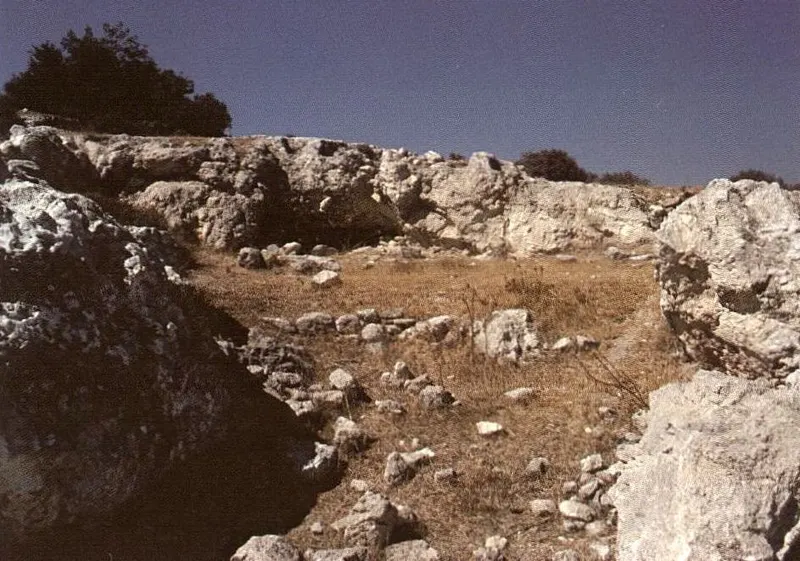
East of Armenochori, locality Saint-Georges: rock shelter detail
Drawing
English, translated from the French record
Detail view of the summit cornice of the limestone plateau remnants of the third step: a rock shelter that appeared along the discontinuity plane of the crushed beds of the substratum (lawn at the centre of the image) has been fitted out as a sheepfold beneath the cap of discordant limestone conglomerates noted in fig. 14. September 1990.
French, as on the record
Est d’Armenochori, lieu-dit Saint-Georges. Vue de détail de la corniche sommitale des lambeaux de plateaux calcaires du troisième échelon : un abri-sous-roche apparu selon le plan de discontinuité des assises broyées du substratum (pelouse au centre de l’image) a été aménagé en bergerie sous la carapace de conglomérats calcaires discordants signalés fig. 14. Septembre 1990.
Corrections and additions
Can you tell us more about this?
If you can identify, date or place this item, or know where else it is recorded, we would like to hear.
We would like to hear about
- What it shows or records
- Its date, place or author
- Where else it is published or held
- A mistake in our description
Tell us if you would like to be thanked by name on the page.