
Map·Fig.104·2005
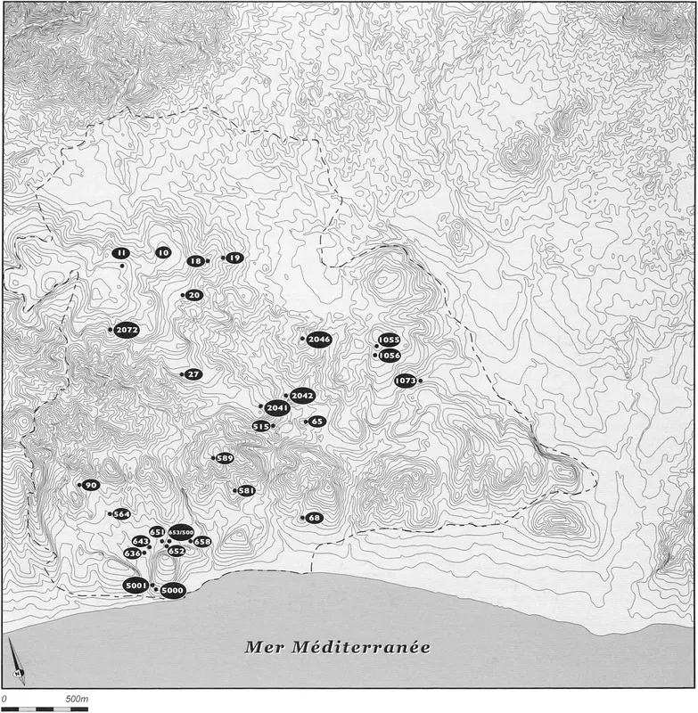
Distribution map of an undetermined Neolithic site, Amathus survey
Map
English, translated from the French record
Distribution map of the undetermined Neolithic site, showing site indications and isolated finds. The dashed line marks the limits of the explored perimeter.
French, as on the record
Carte de distribution du site néolithique indéterminé, des indices de sites et découvertes isolées. Le tireté indique les limites du périmètre exploré
Corrections and additions
Can you tell us more about this?
If you can identify, date or place this item, or know where else it is recorded, we would like to hear.
We would like to hear about
- What it shows or records
- Its date, place or author
- Where else it is published or held
- A mistake in our description
Tell us if you would like to be thanked by name on the page.