
Series·Amathus territory survey
Maps
9 maps · 2005
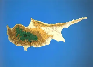
Map: Ph. Devèze, 2005. Prospection du territoire d'Amathonte, École française d'Athènes, Nakala, Fig.1. "Map of the Amathus survey territory". CC BY 4.0. Resized. 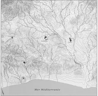
Map: Ph. Devèze, 2005. Prospection du territoire d'Amathonte, École française d'Athènes, Nakala, Fig.2. "Hypsometric map of the Amathus area". CC BY 4.0. Resized. 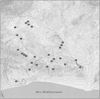
Map: Ph. Devèze, 2005. Prospection du territoire d'Amathonte, École française d'Athènes, Nakala, Fig.3. "Distribution map of Neolithic sites, Amathus survey". CC BY 4.0. Resized. 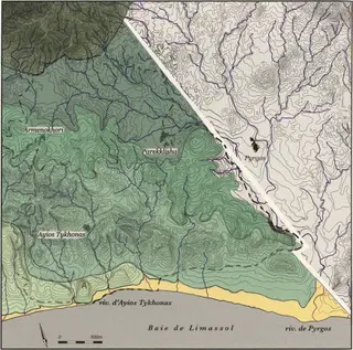
Map: Ph. Devèze, 2005. Prospection du territoire d'Amathonte, École française d'Athènes, Nakala, Fig.4. "Maps of the major geomorphological combination types, Amathus survey area". CC BY 4.0. Resized. 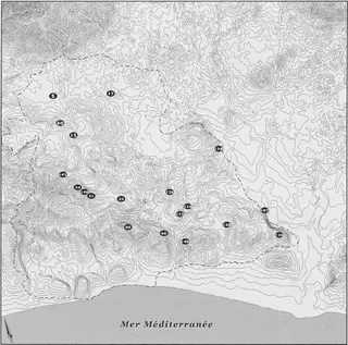
Map: Ph. Devèze, 2005. Prospection du territoire d'Amathonte, École française d'Athènes, Nakala, Fig.101. "Distribution map of Pre-Pottery Neolithic sites, Amathus survey". CC BY 4.0. Resized. 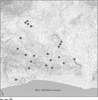
Map: Ph. Devèze, 2005. Prospection du territoire d'Amathonte, École française d'Athènes, Nakala, Fig.102. "Distribution map of Pottery Neolithic sites". CC BY 4.0. Resized. 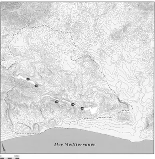
Map: Ph. Devèze, 2005. Prospection du territoire d'Amathonte, École française d'Athènes, Nakala, Fig.103. "Distribution of chert formations in the Lefkara chalks". CC BY 4.0. Resized. 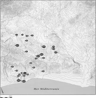
Map: Ph. Devèze, 2005. Prospection du territoire d'Amathonte, École française d'Athènes, Nakala, Fig.104. "Distribution map of an undetermined Neolithic site, Amathus survey". CC BY 4.0. Resized. 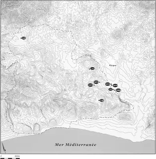
Map: Ph. Devèze, 2005. Prospection du territoire d'Amathonte, École française d'Athènes, Nakala, Fig.105. "Distribution map of Bronze Age sites, Amathus survey". CC BY 4.0. Resized.
Corrections and additions
Do you hold related material?
Photographs, papers and records that belong with this collection are often held elsewhere, or privately.
We would like to hear about
- Related photographs, letters, diaries or records
- Identifications for items in the collection
- A mistake in our description of the collection
Tell us if you would like to be thanked by name on the page.