
Christian village · Sheet 9
Péra
- 1881 census
- Pera
- Greek
- Πέρα · Péra (ELOT 743) (Wikidata)
- Spellings in our records
- Pera, Péra
- In the literature
- Pera
- Sites
- Lithargais · Pera-Frangissa
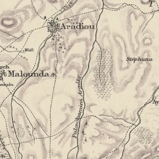
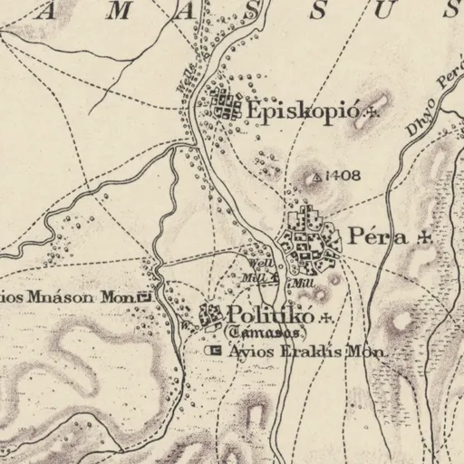
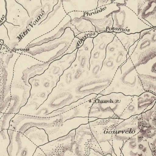
Nearby on the sheet
Villages within 3 km
- Politikó (Tamasos) · village1.0 km SW
- Episkopió · village1.2 km NW
- Argátæs · village2.5 km N
Antiquities within 2 km
- TAMASSÚS · ancient name1.9 km NW
Distances are straight lines between the positions of the names on the sheet.
In the literature
The place's names as printed in works published up to 1974, with the pages they appear on.
Peraprinted 35 times
- Paul Åström (1966). Excavations at Kalopsidha and Ayios Iakovos in Cyprus. Lund, pp. 151, 153, 190, 194, 206 and 1 more
- P. Åström; L. Åström (1972). The Swedish Cyprus Expedition, Vol. IV, Part 1D: The Late Cypriote Bronze Age. Other Arts and Crafts. Relative and Absolute Chronology, Foreign Relations, Historical Conclusions. Lund, pp. 484, 765, 846, 853
and 13 more works
Our records that name the place
Records are matched to this place by name and position; a record may mean another place of the same name.
Excavations2 excavations
Archive1 item
Documents4 documents
People26 people
- Max Ohnefalsch-Richter
- Paul Åström
- Falkland Warren
- Hans-Günter Buchholz
- Charles F. Watkins
- Alexander Malios
- Julius Euting
- Mervyn Popham
- Hélène Cassimatis
- Matthias Recke
- Neda Leipen
- W. Wright
and 14 more
Museum records66 records
Medelhavsmuseet, Stockholm (65) · Ashmolean Museum, Oxford (1)
Sources
- Map
- H. H. Kitchener, Trigonometrical Survey of Cyprus, 1 inch to 1 mile, 1882 (scans: National Library of Scotland, CC BY)
- 1881 census
- 1881 census places: Harokopio University, Mendeley Data 10.17632/dvvm9cns2x.2 (CC BY 4.0)
- Lands and Surveys
- Department of Lands and Surveys, Geographical Names and Localities (INSPIRE), data.gov.cy (CC BY 4.0)
- Greek names
- Greek names: Wikidata (CC0); romanised by ELOT 743
- GeoNames
- Greek names where Wikidata has none, and other modern names: GeoNames, geonames.org (CC BY 4.0)
- Toponyms
- Department of Lands and Surveys, Toponyms (cadastral map layer 19), data.gov.cy dataset 157 (CC BY 4.0)
All the names on the sheets: Place names on Kitchener's map