
Contents
The village of Erimi, in Limassol District, gives its name to two prehistoric sites by the Kouris river that are many centuries apart. Erimi-Pamboula is a Chalcolithic village on the east bank of the river, lived in from the middle of the 4th millennium BC to about 3000 BC. It is the type site of the Erimi culture, the name archaeologists give to the Chalcolithic of the island [1, p. 73]. Erimi-Laonin tou Porakou is a Middle Bronze Age community on a hill about 3.5 km to the north, lived in from about 1960 BC until shortly before 1650 BC [2, p. 62]. Its hilltop was given over to a planned complex of workshops with basins and drains, which the excavators connect with the processing and dyeing of textiles [3]. The two sites have no known link beyond the river and the modern parish boundary, and this page treats them in turn.
The Kouris valley
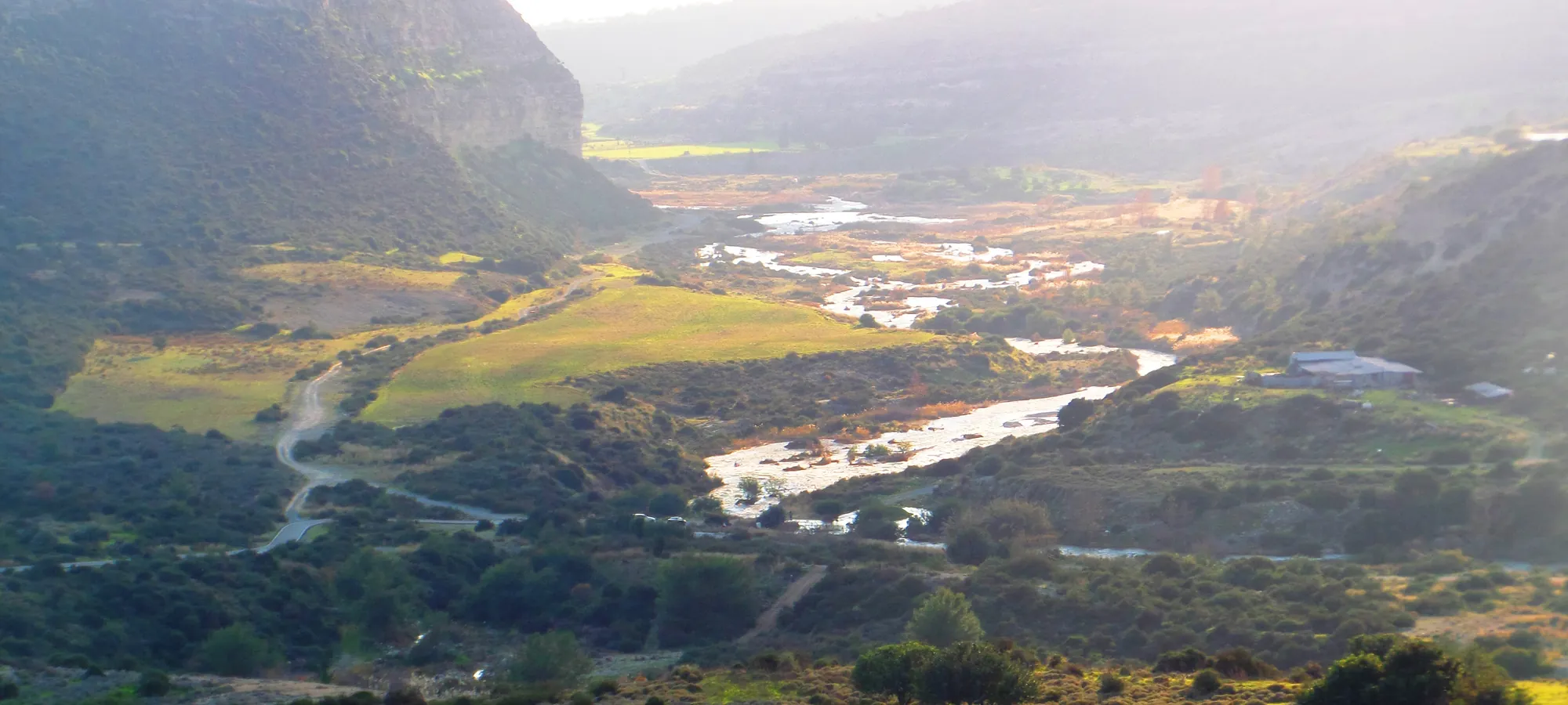
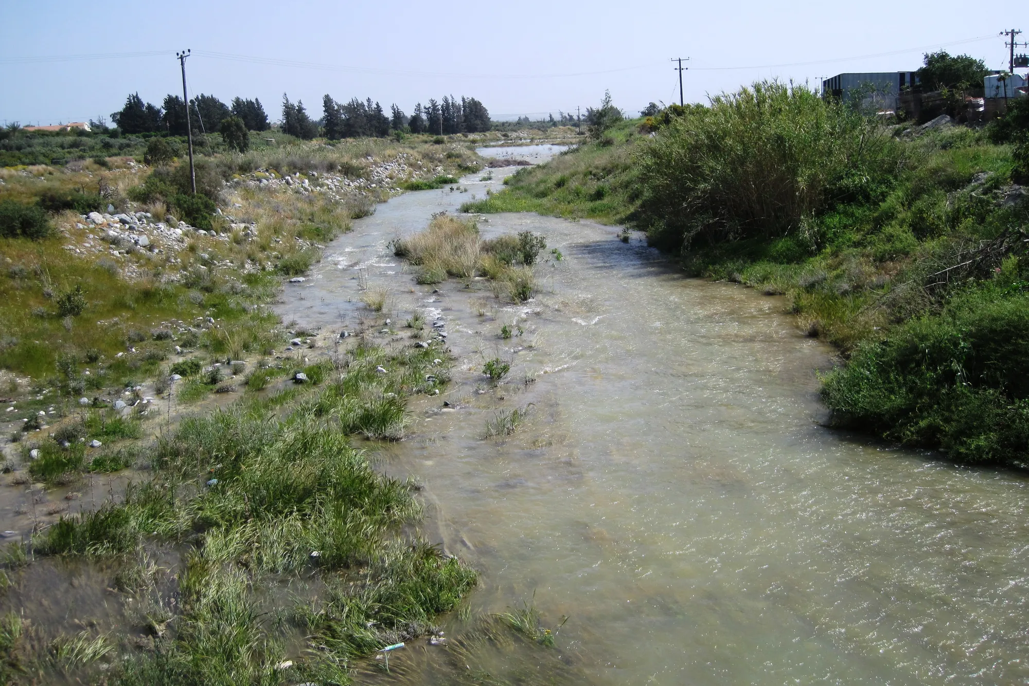
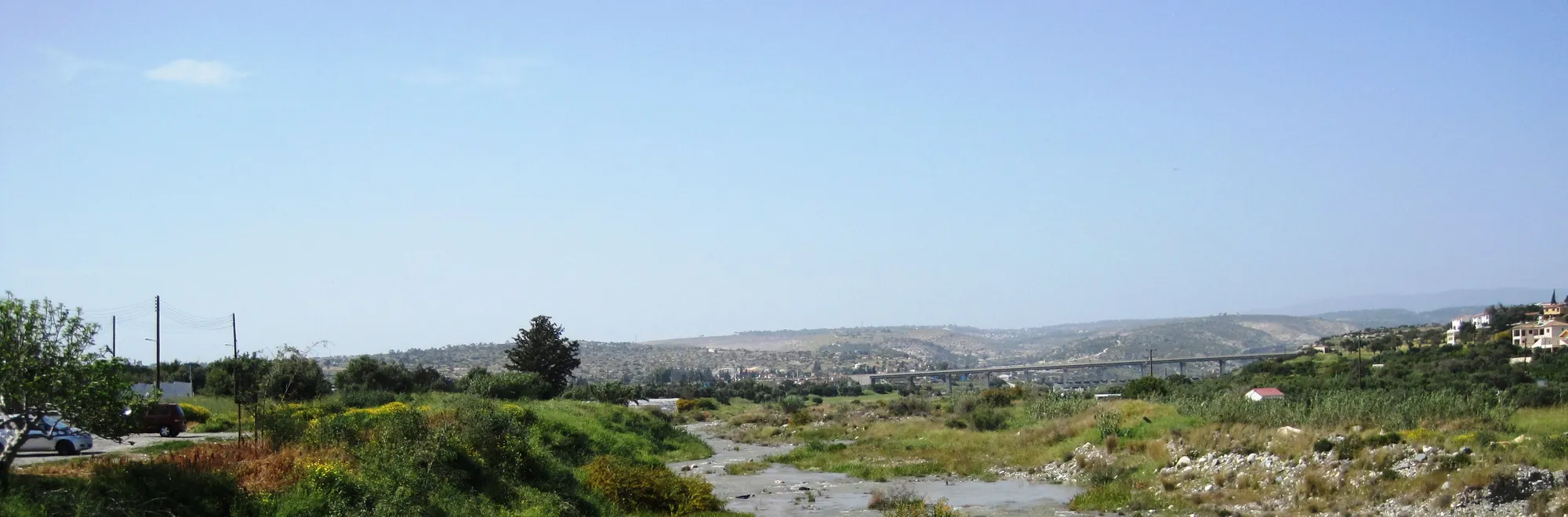
The Kouris drains a catchment of over 300 km², from the southern side of the Troodos mountains to the sea, together with the Limnatis and Kryos rivers and their tributaries [3]. It is a braided river, and its flow ran all year until 1988, when the modern dam upstream of Erimi interrupted it; 64 springs have been mapped in its watershed [3]. The river also carried picrolite, the soft blue-green stone that Chalcolithic people carved into figurines and pendants. Much of the picrolite used at Kissonerga and Lemba in the far west of the island seems to have come from the Kouris, which passes by Erimi [1, p. 348].
Pamboula lies on a low plateau about three miles (5 km) inland from the south coast, on the eastern riverside of the Kouris [1, p. 73]. Laonin tou Porakou is in the middle Kouris valley, on the upper slopes of a natural hill 250 m above sea level [3].
The map shows Erimi with other excavated sites of the lower Kouris, among them Episkopi-Bamboula and Kourion near the river mouth. Sotira-Kaminoudhia, Episkopi-Phaneromeni and Alassa are, with Laonin tou Porakou, the four main Bronze Age settlements of the valley with evidence for textile work, from the Early Cypriot period at Sotira to the Late Cypriot town at Alassa [3].
Map of Cyprus
- Ground above 200, 500, 1,000 m
Sites on this map
Erimi-Pamboula: the Chalcolithic village
Dikaios's excavation
Porphyrios Dikaios excavated at Pamboula for the Department of Antiquities from 1933 to 1935 and published his final report in 1936 [4]. Although the site is the eponym of the Erimi culture, he uncovered only a small part of the settlement: an area of at most 150 m², dug to a depth of 5.5 m. He recorded thirteen layers (I to XIII), removed in artificial spits of 20 cm [1, p. 73]. The deep sounding gave a long stratified sequence, but little of the plan of the village.
Dikaios divided the deposit into two periods: Erimi I, which he called Late Neolithic, with timber structures, and Erimi II, Chalcolithic, with buildings on stone foundations. Diane Bolger, who restudied the finds and records, separated the transition between them as a period of its own [1, p. 73; 5]. Revised dates place the start of the occupation at the end of the Early Chalcolithic or the transition to the Middle Chalcolithic, in the mid-4th millennium BC, and its end in the Middle Chalcolithic, about 3000 BC [1, p. 73].
In 1980 H. Heywood, Stuart Swiny, D. Whittingham and Paul Croft returned to the site, and published their work as "Erimi Revisited" [6].
Houses
The evidence points to an apparently continuous occupation, with building methods that changed over time [1, p. 73]. The earliest houses were shallow hollows with light timber-framed superstructures. Above them came more substantial round buildings, some on stone foundations, and in the upper levels every building stood on stone foundations. Houses of two rooms first appear in levels 7 and 8 [1, p. 73]. The phases in the chronology below follow Bolger's division.
Phases
- Pamboula, phase 1 (levels 1–4)from the mid-4th millennium BC
Shallow hollows with timber-framed superstructures.
- Pamboula, phase 2 (levels 5 and 5/6)
Round buildings, some with the first stone foundations.
- Pamboula, phase 3 (levels 6–13)to about 3000 BC
All buildings on stone foundations; the first two-room houses in levels 7 and 8.
- Later Chalcolithic activityfirst half of the 3rd millennium BC
Finds of this date came from the 2025 excavation.
- No known settlement at either locality
Several centuries separate the two sites.
- Laonin tou Porakou, phase Bfrom about 1960 BC
Workshop complex on the hilltop and houses on the terrace below.
- Laonin tou Porakou, phase Ato shortly before 1650 BC
Monolithic thresholds and new floors; the circuit wall. The workshops burn and the settlement is abandoned.
- Hellenistic and Roman
Sporadic use of the hill after a long gap.
Burials
The excavation found the remains of four people, two adults, a child and an adolescent, buried among and beneath the houses [1, pp. 73–74]. One adult lay flexed in a pit under the floor of Hut VI.A, covered with stones, with a large stone over the head. The body lay on deer antlers, an animal shoulder blade lay on the chest, and sherds of a pot were placed with it, the only grave good found at the site. A second adult was buried crouched in a stone-lined pit outside Hut A, against its wall, and a child lay crouched in a pit beneath Hut A, covered with stones. The bones of the adolescent, about 14 years old, were poorly preserved and lay on the topmost floor of Hut A [1, pp. 73–74]. Burial among the houses is the usual Chalcolithic practice (see Neolithic and Chalcolithic burial). Human remains from Pamboula were later sampled for a pilot study of strontium isotopes and human mobility in Neolithic and Chalcolithic Cyprus [7].
Finds: copper and picrolite
Among the usual Chalcolithic material, the tip of a copper chisel stands out, one of the rare metal objects of the Chalcolithic in Cyprus [1, p. 74] (see copper metallurgy).
The picrolite figurines from Pamboula are fewer than its position by the Kouris might suggest. Erimi yielded only a small group of cruciform figurines, mostly of crude rather than classical style, and the main concentration of the type lies in Paphos District. Christine Winkelmann concludes that easy access to the stone cannot explain where cruciforms were made [1, p. 348]. Bolger suggested that collecting and passing on picrolite was a mainstay of the village's economy and contributed to its long life [1, p. 300]; the distribution of the finished figurines does not settle the question. On the other hand, every one of the singular anthropomorphic picrolite carvings that Winkelmann classes apart came from Dikaios's excavation at Erimi [1, p. 350] (see Neolithic and picrolite figurines).
The end of the village and the new excavation
Between about 2900 and 2700 BC the major Chalcolithic sites of the south were abandoned or show disruption and change in their material culture. Winkelmann counts Erimi with Lemba among the sites that changed, with Kissonerga-Mosphilia among those abandoned [1, p. 73] (see Lemba and Kissonerga).
In July 2025 a team from the National and Kapodistrian University of Athens, directed by Giorgos Vavouranakis with Ioannis Voskos, and with students and researchers from the Freie Universität Berlin and the University of Strasbourg, completed the first season of a new excavation at Pamboula [8]. It uncovered parts of two buildings: the floor of a house with a pit and a built platform, and the wall of another round building. The finds include Red-on-White pottery, stone tools, animal bones (mostly of deer) and picrolite ornaments, among them part of a cruciform figurine. The Department of Antiquities dates the settlement to about 3500 to 2900 BC, with signs of activity into the first half of the 3rd millennium BC [9]. These finds carry the life of the settlement beyond the date of about 3000 BC given by the older excavation.
Erimi-Laonin tou Porakou: the Middle Bronze Age community
Survey and excavation
The Italian Kouris Valley Survey, directed by Luca Bombardieri, recorded the hill in its first seasons and made the first soundings there in 2008 [10; 11]. Since 2009 the site has been excavated systematically by the Italian Erimi Archaeological Project, a joint initiative of the University of Turin and the Department of Antiquities [3]. The seasons of 2008 to 2014 are published in a monograph edited by Bombardieri [12]. By 2025 the project was supported mainly by the University of Siena, with the Italian Ministry of Foreign Affairs and the Department of Antiquities [13].
Dates and phases
The Bronze Age occupation, which the excavators call Period 2, consists of two consecutive phases, B (the earlier) and A (the later), both of the Middle Bronze Age. After a long gap the hill saw only sporadic use in the Hellenistic and Roman periods (Period 1) [3]. The pottery, mostly Red Polished and Drab Polished wares of Middle Cypriot II to III types, points to occupation through the Middle Cypriot period. Radiocarbon dates place the start of the settlement at the turn of the Early and Middle Cypriot periods, about 1960 BC, and its abandonment before Late Cypriot IA, about 1650 BC [2, p. 62; 14]. Radiocarbon dates from the southern cemetery span the Early Cypriot to Late Cypriot I periods [15].
Marialucia Amadio's study of the buildings shows what changed between the phases. In one room of the workshop complex, SA IIb, the passage from phase B to phase A brought a monolithic threshold, a new floor of fine white plaster, and objects such as an imported juglet, an askos and a pendant, where before there had been dirtier working activities. Amadio reads these changes as signs of new ideas of ownership, security and display at the start of the Late Bronze Age [2, p. 177]. Stone thresholds were probably added to the other buildings of the hilltop in phase A [2, p. 178].
The layout of the settlement
The settlement covers about 1.2 ha on the hilltop and the terraces that step down from it to the south and east [3]. The table sets out its parts.
| Area | Position | Remains |
|---|---|---|
| Area A | Hilltop | Workshop complex |
| Areas B, T2–T4 | First terrace | Houses round courtyards |
| Circuit wall | West side | Wall 1.60 to 1.70 m wide |
| Central building | Hilltop, south of A | About 220 m² (2025) |
| Area E | South | Rock-cut tombs |
| Vounaros | About 400 m east | Tombs 35 to 37 |
The builders worked the natural limestone carefully. In both the workshop complex and the houses, rectangular rooms were cut into the bedrock, so that their floors are slightly sunken, and the open areas of the workshop were cut the same way to take basins and emplacements of different depths [3]. Room SA III, for example, is cut less than 60 cm into the rock and has a floor area of 25.3 m² [2, p. 178]. The massive circuit wall that closes the settlement on the west follows the natural edge of the terrace; its foundation trench was filled with rubble and large blocks set in plaster mortar. It probably belongs to phase A, at the end of the Middle Bronze Age [3].
The 2025 season exposed the whole plan of the central building on the hilltop, entered through a dog-leg passage, and a section of the circuit wall with a large monolithic stepped threshold and a ramp, which the excavators read as a gate into the settlement. A house in the northern sector was excavated completely [13].
The workshop complex and textile work
The excavators identify textile processing as one of the main activities of the workshop complex, and see evidence for dyeing in both phases: installations for heating and for processing water, cooking pots and containers for liquids [3]. The open areas are full of basins and drainage channels; the largest basins together held about 8,000 litres when full. The largest open court, WA IV, has nine basins and supports for light structures, which were probably frames for drying processed fibres rather than finished cloth. The complex stands on the part of the hill most exposed to the wind [3].
In the earlier phase B, the sediments of some of the basins in room SA I held large amounts of mineralised seeds [3]. The filling of one multiple basin alone held more than 100 nutlets of wild plants of the borage family (Boraginaceae). The roots of some of these plants can give a red or purple dye, although there is no evidence for their use as dye plants in the prehistoric Mediterranean [16, p. 28]. No dyed cloth survives from the site, and the dyeing is an inference from the installations, the seeds and the tools.
The tools are the familiar ones of spinning and weaving. Most of the spindle whorls from the workshop are biconical and of medium to medium-heavy weight [16, p. 30]. Loom weights were found together in room SA XII [3]. Nine unperforated cones of unfired or low-fired clay from SA III have the shape of the usual loom weight of the period, but seem not to have been usable as weights [16, p. 33]. The chipped stone includes many splintered pieces (pièces esquillées) that may have been used to scutch flax, though use-wear analysis has not confirmed it [3].
The excavators describe the Erimi workshop as a "textile start-up" run by a "community of practice" of specialised producers [3; 16]. Bernard Knapp took a more cautious view: "Whereas the workshop area at Laonin tou Porakou surely signals some specialized production activities, the single structure so far uncovered, as well as the tombs, show no signs that this site was anything other than a typical PreBA 2 rural village" [17, p. 29]. For the wider setting see Middle Bronze Age village life.
The end of the settlement
At the end of phase A, fire burned down buildings of the workshop complex. Burnt layers lie directly over the last floors of many of the hilltop units [2, p. 137]. A microscopic study of the deposits concluded that the fire was most probably lit on purpose. The burnt buildings are not adjacent to each other, as they would be if a fire had spread; the fire was confined to each building, with little burnt material outside the walls; and none of the buildings was rebuilt afterwards [18]. The excavators read the burning as part of a planned abandonment, perhaps with a ritual side [2, p. 137; 18]. The site was then deserted until the sporadic Hellenistic and Roman use of the hill [3].
The Bronze Age cemeteries
The dead of Laonin tou Porakou were buried outside the circuit wall, in two contemporary groups of tombs. In the southern group (Area E) the excavators found human remains in rock-cut chamber tombs 228, 229, 230, 248, 328, 427 to 430 and 464 to 467, all of them with several burials. The bones were disarticulated and mixed, which suggests that earlier burials were moved and handled when new ones were added. In the eastern group, at Ypsonas-Vounaros about 400 m east of the hilltop, salvage excavations by the Department of Antiquities found three tombs (35 to 37) of the same date [3; 19]. In 2025 the excavation of further chamber tombs in the southern group revealed complex multiple burials of the later phase [13].
Spindle whorls are unusually common in these tombs: twelve in Tomb 429, nine in Tomb 464C, and seven, including an unusual "double" whorl, in the pit tomb 231. Wear on them shows that they had been used before burial, and were not made for the grave [16, p. 32]. Tomb 230 held three picrolite disks, and Tomb 240 an almost complete necklace of dentalium shell beads with picrolite spacers and pendants [15, pp. 97, 99]. One of the 21 front teeth from Tomb 428, an isolated upper incisor, is heavily worn on its inner surface in a way that matches the use of the teeth to process plant fibres [3].
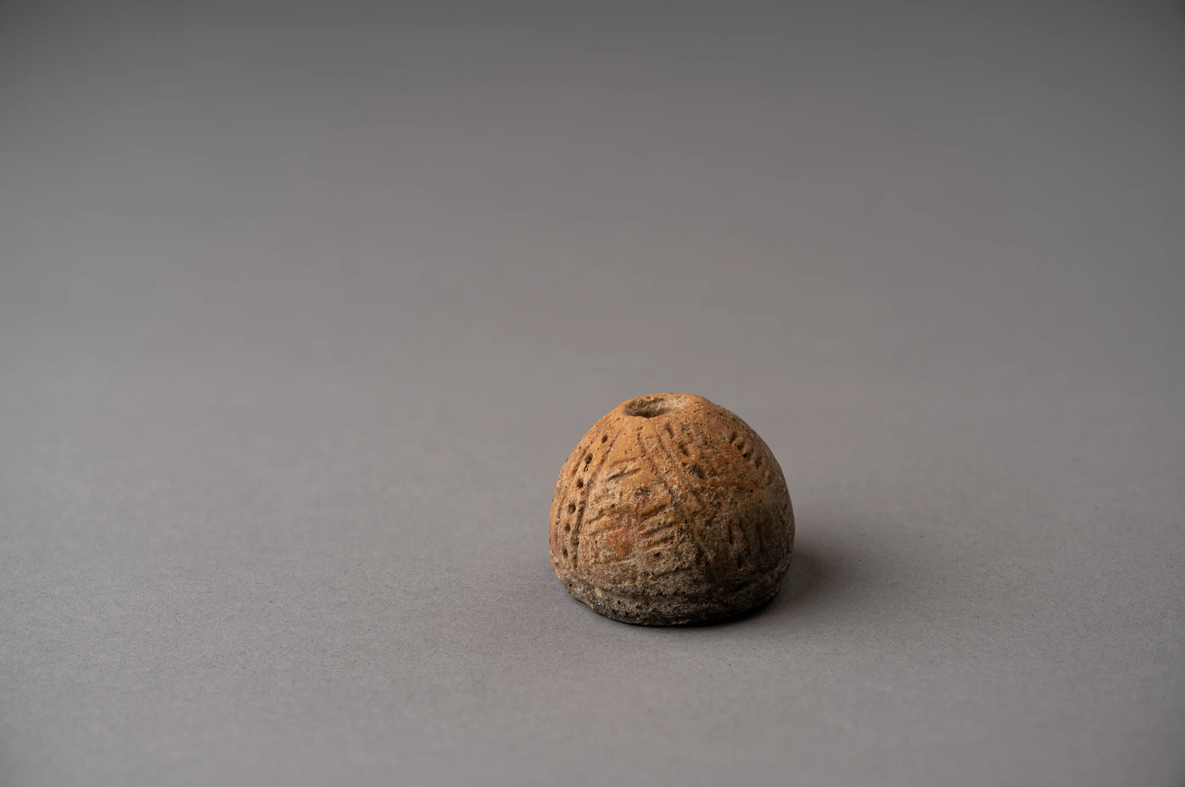
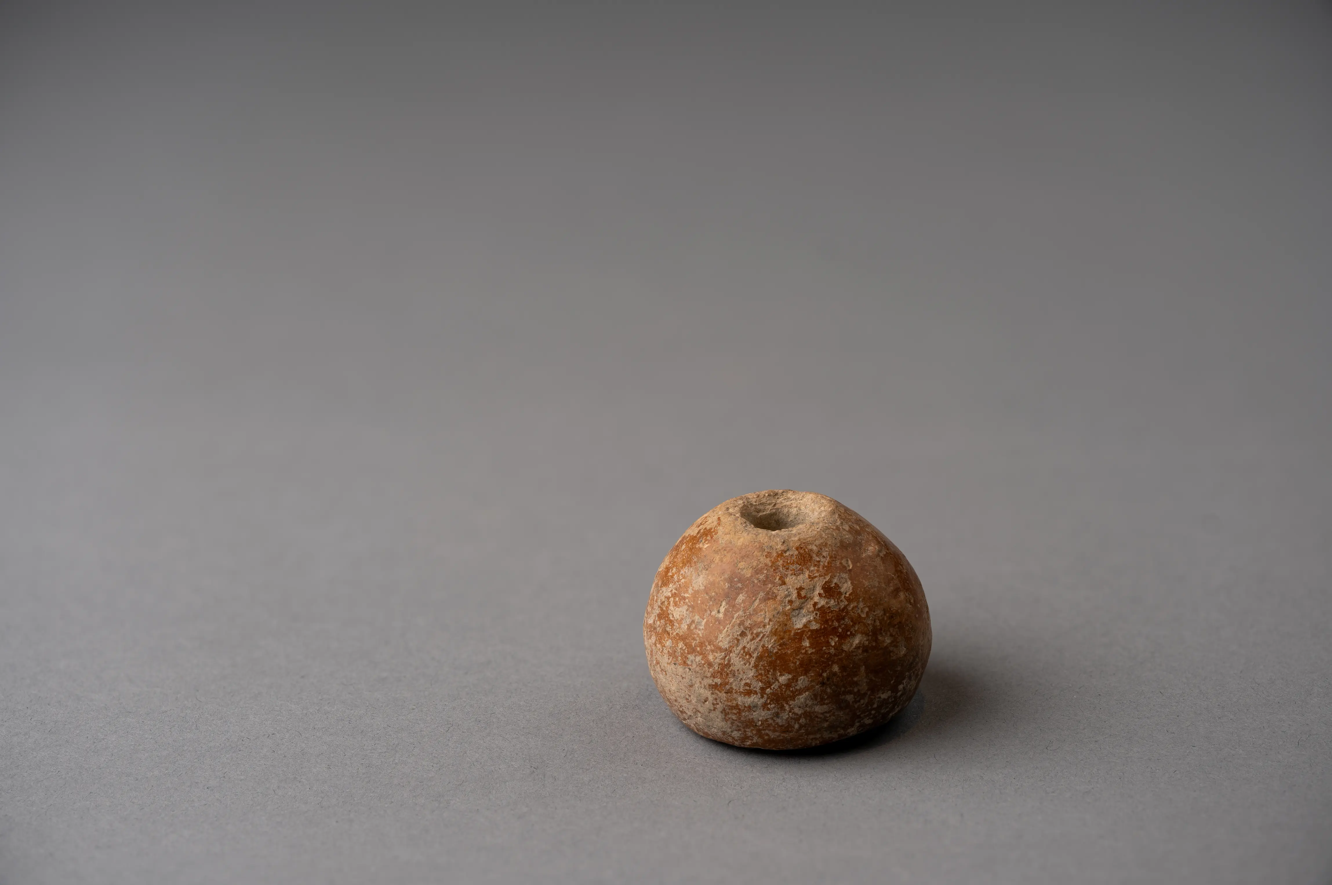
Pieces in the Drakopoulos collection of kinds found at this site. None of them comes from the site.
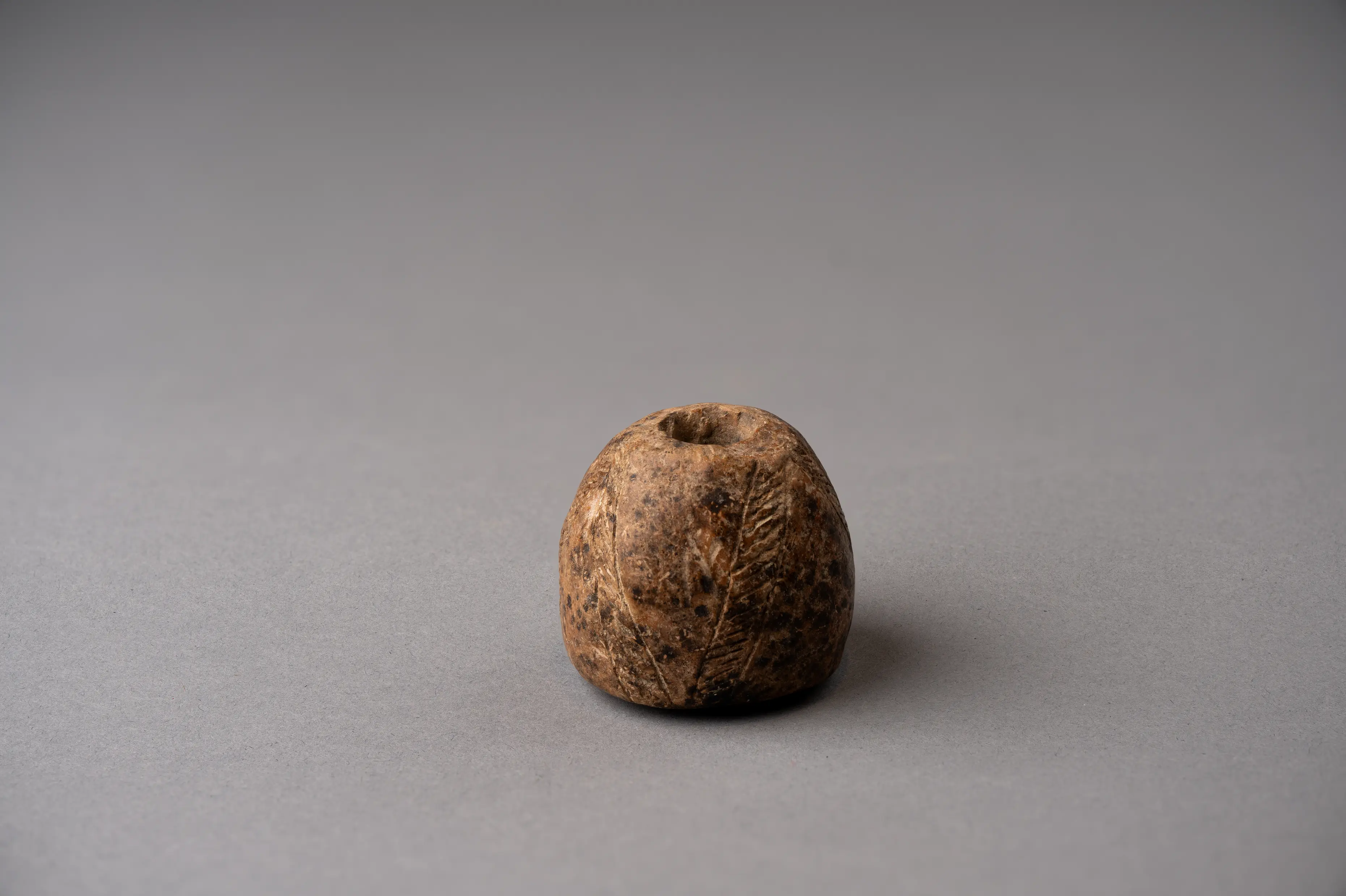 Spindle Whorl with Incised Herringbone BandsMiddle Bronze Age I · 2000–1725 BCDrakopoulos collection
 Red Polished Spindle Whorl with Incised Lattice and Dotted BandsMiddle Bronze Age I · 2000–1725 BCDrakopoulos collection
 Plain Red Polished Spindle WhorlMiddle Bronze Age I · 2000–1650 BCDrakopoulos collection
In the Drakopoulos collection
Pieces in the Drakopoulos collection of kinds found at this site. None of them comes from the site.
- Spindle Whorl with Incised Herringbone BandsMiddle Bronze Age I · 2000–1725 BC
- Red Polished Spindle Whorl with Incised Lattice and Dotted BandsMiddle Bronze Age I · 2000–1725 BC
- Plain Red Polished Spindle WhorlMiddle Bronze Age I · 2000–1650 BC
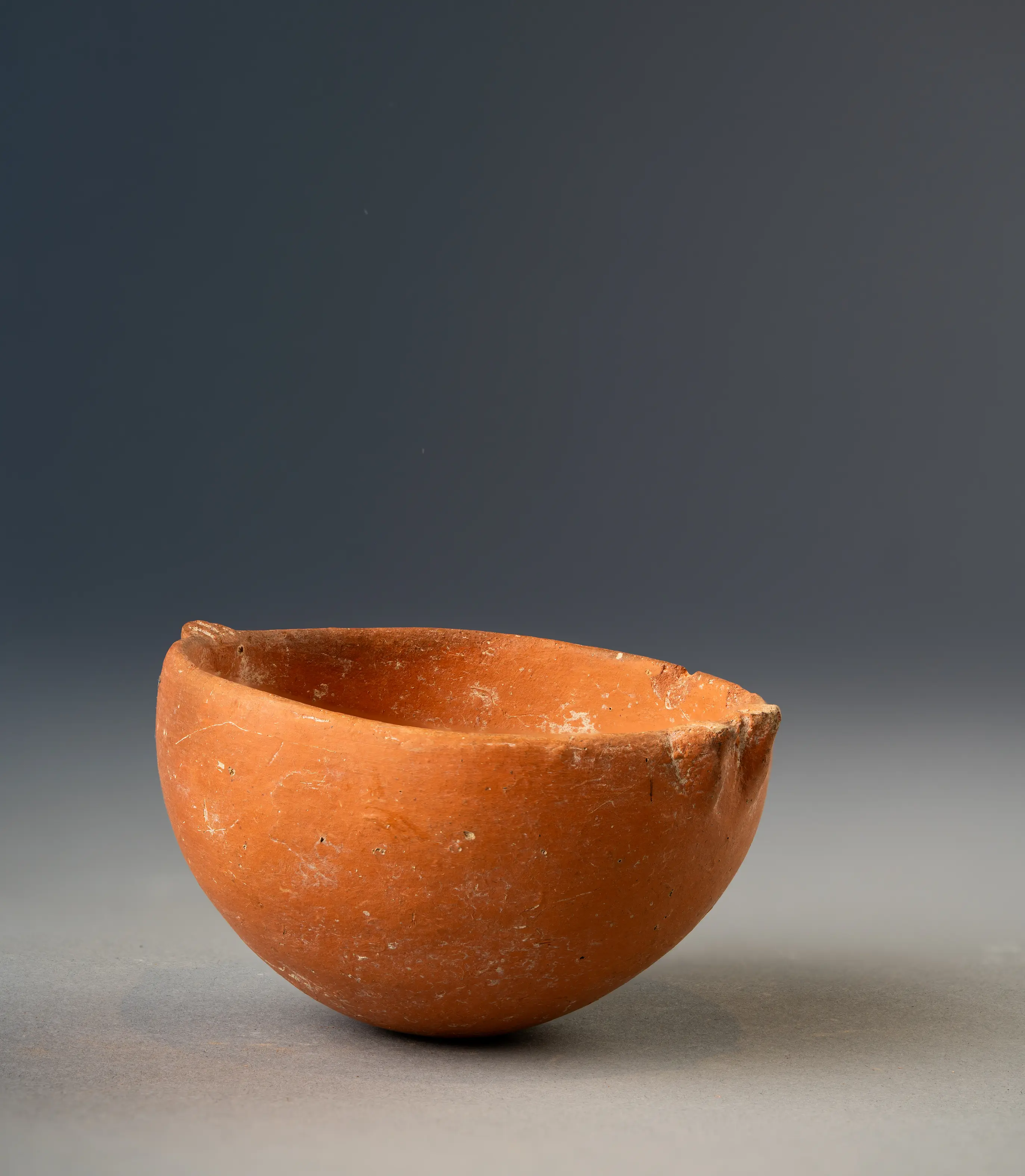 Red Polished Hemispherical Bowl with Two Rim LugsEarly Bronze Age II · 2200–1900 BC
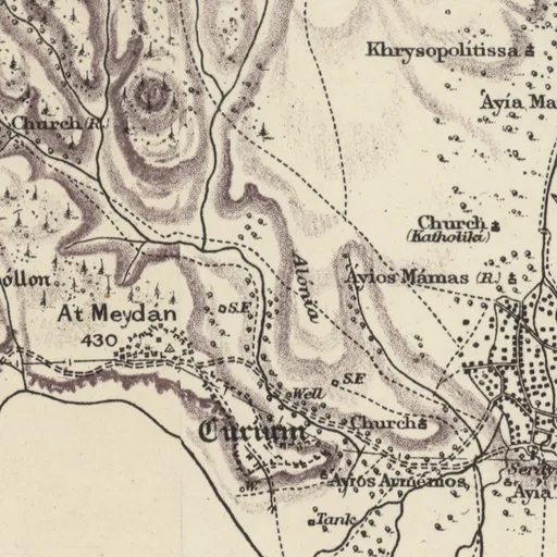
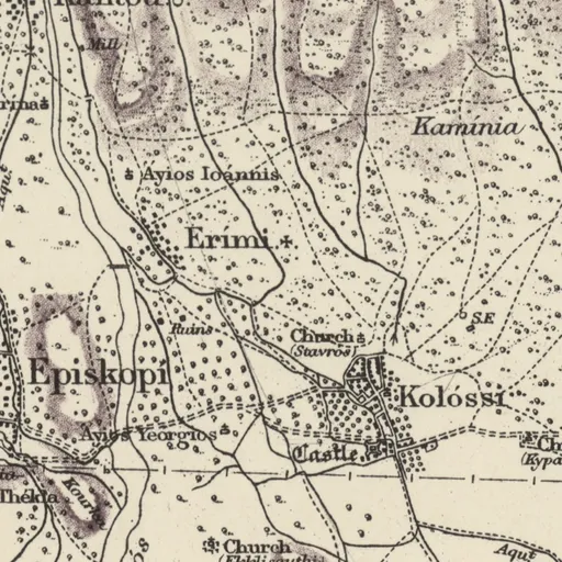
On Kitchener's map (1882)
Erími · Christian village
Excavation history
- 1933–1935Erimi-Pamboula: Dikaios's excavationsDirected by Porphyrios DikaiosExcavation
- 1971–1972Erimi-Kafkalla: Department tomb rescues, 1971–1972Rescue excavation
- 1975–1978Episkopi-Phaneromeni: the Kent State University excavationsDirected by James R. Carpenter and Stuart SwinyExcavation
- 1980Erimi-Pamboula: 1980 work by Whittingham, Croft, Heywood and SwinyDirected by Group Captain H. W. Whittingham, Paul Croft, Stuart Swiny and othersExcavation
- 1999Erimi-Kafkalla: rescue of two looted Middle Bronze Age tombs (1999)Rescue excavation
- 2001–2009Erimi-Pitharka: Department of Antiquities excavations, 2001–2010Directed by Anthi KaldeliExcavation
- 2004Erimi-Kafkalla: excavation of the Early Bronze Age cemetery, 2004Excavation
- 2008–todayErimi-Laonin tou Porakou: the Erimi Archaeological ProjectDirected by Luca BombardieriExcavation
Show all 11 projects
- 2022–todayErimi-Pitharka: the Recht excavationsDirected by Laerke Recht and K. Zeman-WisniewskaExcavation
- 2025–todayErimi-Pamboula: the University of Athens renewed excavationDirected by G. VavouranakisExcavation
- UndatedErimi-Kafkalla: Catling's surface surveyDirected by Hector W. CatlingSurvey
Nearby sites
- Episkopi-Bamboula1.3 km
- Kolossi1.6 km
- Kolossi-Ayios Nikolaos (find-spot)1.6 km
- Kolossi-Bamboula1.6 km
- Kandou-Village1.7 km
- Episkopi-Phaneromeni1.7 km
Straight-line distances.
Mentioned in
74 mentionsDocuments · 18
- Researches in Cypriote History and Archaeology. Proceedings of the Meeting held in Florence April 29th-30th, 2009
2010 · pp. 6, 40, 41, 110
hilltop settlement with workshop, tombs and walls
Jasink & Bombardieri 2009, p. 6
- Studi di archeologia del Vicino Oriente: scritti degli allievi fiorentini per Paolo Emilio Pecorella
2012 · pp. 286, 303, 314, 317
South necropolis studied in a Florentine research and excavation project with the Department of Antiquities of Cyprus; sequence from Early Bronze Age to early…
Mazzoni 2012
- AKROTHINIA: contributi di giovani ricercatori italiani agli studi egei e ciprioti
2015 · p. 197
Palaeobotanical analyses in the workshop complex found wild plants used in dyeing skins and textiles.
Jasink 2015
- Building in Prehistoric Cyprus. Tracing Transformations in the Built and Social Environment of Early Cypriot Communities
2023 · pp. 44, 47, 64, 65, 66, 70, 90, 98, 103, 118, 124, 125, 142, 143, 150
Intact mudbricks studied; measure about 40 x 14 x 12 cm; laid in running bond.
Amadio 2023
- Ancient Cyprus: Its Art and Archaeology
1937 · p. 25
At Erimi no Bronze Age levels have been found superimposed on the earlier site.
S. Casson, Ancient Cyprus: Its Art and Archaeology (1937)
- Journal Of Hellenic Studies Vol.57
1937 · p. 287
Site found and excavated by M. Dikaios of the Cyprus Museum.
1937
- Archaeologia, Or, Miscellaneous Tracts Relating to Antiquity, 1938, vol. 87
1938 · pp. 155, 160, 165
Erimi culture pottery revealed; Erimi handleless vessel; goblets with stem bases found at Erimi.
Archaeologia, Or, Miscellaneous Tracts Relating to Antiquity 88 (1940)
- A History of Cyprus. Volume 1: To the Conquest by Richard Lion Heart
1940 · pp. 20, 26, 55
Discoveries at Erimi show plentiful pottery in the later Neolithic or Chalcolithic period
G. Hill, A History of Cyprus. Volume 1: To the Conquest by Richard Lion Heart (1940)
- Cyprus before the Bronze Age: Art of the Chalcolithic Period
1990 · pp. 2, 11, 20
Erimi is known mainly from limited excavations, along with stray finds from other sites.
J. Paul Getty Museum, Cyprus before the Bronze Age: Art of the Chalcolithic Period (1990)
- Chronique des fouilles et découvertes archéologiques à Chypre en 1971
1972 · p. 1008
The site Kafkalla at Erimi has long been known because of its ruins and a Late Cypriot cemetery.
Vassos Karageorghis, 1972, pp. 1005-1088
- Chronique des fouilles et découvertes archéologiques à Chypre en 1978
1979 · p. 697
Only the settlement of Erimi-Kafkalla continued to be inhabited until the Late Cypriot period.
Vassos Karageorghis, 1979, pp. 671-724
- Annual Report of the Department of Antiquities for the Year 2006
Probably · 2008
Flourentzos 2008
- Writing around the Ancient Mediterranean: Practices and Adaptations
2022 · p. 79
An inscribed clay jug was found at Erimi-Kafkalla and added to the corpus as inscription ##255.
Steele 2022
- The Aegean and Cyprus: Interaction Between Two Distinct Cultural Mediterranean Areas from the Third Millennium to ca. 1200 BC
2025 · p. 437
The site is mostly known as an EC-MC burial ground, but a few LC tombs were excavated there.
Graziadio 2025
- Annual Report of the Department of Antiquities for the Year 2007
2008
Flourentzos 2009, p. 81: 'In a rescue excavation at Erimi-Pitharka (LM 2266) an extensive settlement was located where important remains of the Late Bronze Age were found.'
Lectures and videos · 7
- Social and ritual practices at Middle Bronze Age Erimi-Laonin tou Porakou
2022 · 0:07:59; 0:13:58; 0:11:59; 0:09:58; 0:24:03; 0:34:05; 0:16:00; 0:28:03; 0:38:08
Middle Bronze Age settlement first identified in 2007 by survey, with workshop, residential and funerary areas
Bombardieri 2022
- Weaving New Patterns: Textile Production and Social Implications in Cyprus between the End of the Chalcolithic and the Transition to the Late Bronze Age
2022 · 0:34:26
Evidence suggests textile dyeing in an area defined as a workshop complex; textile produced for exchange
Muti 2022
- Textiles in ancient Cyprus and modern weaving practice
Probably · 2026 · 0:54:07
Boiling structures and fireplaces from Middle Bronze Age context proposed as possible textile dyeing setting
CAARI Cyprus 2026
- The archaeology of Bronze Age Lapithos: from 1913 to 2025
Probably · 2026 · 0:51:56
Workshop for the production of woollen textiles in the Middle Bronze Age
Webb 2026
- Formation and Transformation of Archaeological Discourse and Its Dissemination
Probably · 2021 · 0:12:00
Ground plans feature considerable reconstruction of wall courses; stratigraphic layers equated with phases
Leriou & Vavouranakis 2021
- Changes in Ground Stone Technology Related to Early Copper Use in Cyprus (3500–1900 BC)
2025 · 0:04:01
Earliest site with copper-bearing objects in Cyprus
Souter 2025
- Cyprus and Ugarit: Connecting Material and Mercantile Worlds
2025 · 0:12:00
Recent work there found one more nearly complete Canaanite jar along with two sherds
Knapp 2025
Tomb records · 31
- Erimi-Laonin tou Porakou, Florence Tomb 228
2008
Rock cut chamber, EC III – LC I
Chelazi et al. 2011
- Erimi-Laonin tou Porakou, Florence Tomb 229
2008
Middle Cypriot (Middle Bronze Age)
Calabrisotto et al. 2017
- Erimi-Laonin tou Porakou, Florence Tomb 230
2008
Chamber tomb, MC II – LC I
Chelazi et al. 2011
- Erimi-Laonin tou Porakou, Florence Tomb 231
2008
Chelazi et al. 2011
- Erimi-Laonin tou Porakou, Florence Tomb 232
2008
Chamber tomb, Middle Cypriot (Middle Bronze Age)
Calabrisotto et al. 2017
- Erimi-Laonin tou Porakou, Florence Tomb 240
2008
Chamber tomb
Chelazi et al. 2011
- Erimi-Pamboula, Dikaios Tomb 2
1933
Pit grave
Voskos 2020
- Erimi-Pamboula, Dikaios Tomb 3
1933
Pit grave
Voskos 2020
- Erimi-Pamboula, Dikaios Tomb 4
1933
Pit grave
Voskos 2020
- Erimi-Pamboula, Tomb 28
Calvo 2008
- Erimi-Kafkalla, Department of Antiquities, a group of 3 tombs at Kafkalla, 1971
1971
Nicolaou 1976
- Erimi-Kafkalla, Department of Antiquities, unnumbered tomb at Kafkalla, 1972
1971
Nicolaou 1976
- Erimi-Kafkalla, Dept Kafkalla Tomb 22
Middle Cypriot (Middle Bronze Age)
Hadjisavvas 2000
- Erimi-Kafkalla, Dept Kafkalla Tomb 27
Flourentzos 2004
- Erimi-Kafkalla, Dept Kafkalla Tomb 37
Flourentzos 2004
- Erimi-Kafkalla, Dept Kafkalla Tomb 9
LC I
Christou 1995
- Erimi-Pitharka, Tomb 89
Flourentzos 2008
- Erimi-Pitharka, Tomb 90
Bronze Age
Calabrisotto 2013
News · 8
- Cypriot Chalcolithic figure sells for $12,000 in Chicago after a collector sought the state's view
2026
- Hollows cut into a Bronze Age threshold at Erimi match a senet game board
2026
- This Week in Cypriot Archaeology: 31 August–6 September 2026
2026
- Nicosia conference on 6–7 November hears new work on Erimi, Ayia Irini and the "Achaeans"
2026
- Ochre working, a hearth and a second round building found at Chalcolithic Erimi-Pamboula
2026
- This Week in Cypriot Archaeology: 18–24 May 2026
2026
- Grape seeds and unfired loom weights found in Bronze Age work complex at Erimi-Pitharka
2026
- This Week in Cypriot Archaeology: 27 July–2 August 2026
2026
Institutions · 1
- Cyprus Broadcasting Corporation
Probably · Films of it
Cyprus Broadcasting Corporation, film
- Excavations · 9listed under Excavation history
References
- 1.Winkelmann, C. (2020). The Neolithic and Chalcolithic Figurines of Cyprus. Zaphon.
- 2.Amadio, M. (2017). Architecture and Urbanisation in Bronze Age Cyprus: local and regional innovations in materials, technology and social representation. Doctoral dissertation, University of Reading.
- 3.Bombardieri, L., & Monaco, M. (2019). Going over the common thread with a fine-tooth comb, Actors and interaction in a Middle Bronze Age textile start-up. Cahiers du Centre d'Études Chypriotes, 49, 81-102. https://doi.org/10.4000/cchyp.459
- 4.Dikaios, P. (1936). The excavations at Erimi, 1933-1935: Final report. Report of the Department of Antiquities, Cyprus, 1936, 1-81.
- 5.Bolger, D. (1988). Erimi-Pamboula: A Chalcolithic Settlement in Cyprus (BAR International Series 443). British Archaeological Reports.
- 6.Heywood, H., Swiny, S., Whittingham, D., & Croft, P. (1981). Erimi Revisited. Report of the Department of Antiquities, Cyprus, 1981, 24-42.
- 7.Voskos, I., Vika, E., & Mantzourani, E. (2021). Strontium isotopes and human mobility in Ceramic Neolithic-Middle Chalcolithic Cyprus (ca. 5200/5000–3000/2800 B.C.): A pilot study. Athens University Review of Archaeology (AURA), 4, 207-224.
- 8.National and Kapodistrian University of Athens (2025, 3 October). Erimi Pamboula Archaeological Programme, Cyprus [Announcement]. https://en.uoa.gr/announcements_and_events/erimi_pamboula_archaeological_programme_cyprus
- 9.Department of Antiquities, Cyprus (2025). Erimi-Pamboula: first excavation season completed [Announcement of the Department of Antiquities]. Archaeology Newsroom, 3 October 2025. https://www.archaeology.wiki/blog/2025/10/03/erimi-pamboula-first-excavation-season-completed/
- 10.Bombardieri, L., Fossataro, D., Menozzi, D., & Jasink, A. M. (2009). The Kouris Valley Survey Project: 2008 Preliminary Report. Report of the Department of Antiquities, Cyprus, 117-129.
- 11.Bombardieri, L., Menozzi, O., Fossataro, D., & Jasink, A. M. (2010). Preliminary excavations at Erimi-Laonin tou Porakou. Report of the Department of Antiquities, Cyprus, 2009, 131-162.
- 12.Bombardieri, L. (Ed.). (2017). Erimi Laonin tou Porakou. A Middle Bronze Age Community in Cyprus. Excavations 2008-2014 (Studies in Mediterranean Archaeology 145). Åströms Förlag.
- 13.Department of Antiquities, Cyprus (2025). Excavations completed at Erimi-Laonin tou Porakou [Announcement of the Department of Antiquities on the 2025 season of the Italian Erimi Archaeological Project]. Archaeology Newsroom, 17 September 2025. https://www.archaeology.wiki/blog/2025/09/17/excavations-completed-at-erimi-laonin-tou-porakou/
- 14.Scirè Calabrisotto, C., Fedi, M. E., Caforio, L., & Bombardieri, L. (2012). Erimi-Laonin Tou Porakou (Limassol, Cyprus): Radiocarbon analyses of the Bronze Age cemetery and workshop complex. Radiocarbon, 54(3-4), 475-482. https://doi.org/10.1017/S0033822200047214
- 15.Chelazi, F., Albertini, E., Calabrisotto, C., & Bombardieri, L. (2011). Dating the contexts (or contextualizing the datings?). New evidence from the Southern cemetery at Erimi-Laonin tou Porakou (EC-LC I). Cahiers du Centre d'Études Chypriotes, 41, 87-108.
- 16.Bombardieri, L., & Muti, G. (2018). Erimi Laonin tou Porakou: A textile community of practice in Middle Bronze Age Cyprus. Fasciculi Archaeologiae Historicae, 31, 25-38. https://doi.org/10.23858/FAH31.2018.002
- 17.Knapp, A. B. (2013). Revolution within evolution: the emergence of a 'secondary state' on protohistoric Bronze Age Cyprus. Levant, 45, 19-44.
- 18.Amadio, M., Boaretto, E., & Bombardieri, L. (2021). Abandonment practices through the microscope lens. Microarchaeological data from Middle Bronze Age Erimi, Cyprus. Levant. https://doi.org/10.1080/00758914.2021.1890400
- 19.Christofi, P., Stefani, E., & Bombardieri, L. (2012). Bridging the gap: Long-term use and re-use of the Bronze Age funerary area at Ypsonas-Vounaros and Erimi-Laonin tou Porakou. In PoCA (Postgraduate Cypriot Archaeology) 2012 (pp. 130-169).
Corrections and additions
Do you know this site?
Help us keep this page right: recent work, the site as it is now, and what we may have missed.
Missing from this record
- Location approximate
We would like to hear about
- Recent fieldwork or publications
- A wrong location or name
- Access, opening times or the site's state today
- Photographs we may use
Tell us if you would like to be thanked by name on the page.