
Conference paper·Archaeological Research Unit - University of Cyprus·2017
Under the Mediterranean: Coastal Palaeoenvironments at Pollentia, the Ionian Sea, Olous, Caesarea and Byblos
UNDER THE MEDITERRANEAN
Matteo Giannì, Dimitrios Sakellariou, Theotokis, Gilad Steinberg and George Papatheodorou
A guest lecture in the University of Cyprus series on a subject outside Cyprus.
Chapters
About the video
This session of the 2017 Honor Frost Foundation Conference on Mediterranean Maritime Archaeology, chaired by Dorit Sivan, presents five papers on coastal geoarchaeology, submerged landscapes and ancient harbours across the Mediterranean.
The recording opens with the conclusion and discussion of a preceding paper on the submerged landscape off Franchthi Cave and Lambayanna Beach, where a palaeoshoreline at ten metres depth points to vertical tectonic movement.
Matteo Giannì (Aix-Marseille University) then presents his doctoral research on the coastal palaeoenvironment of the Roman city of Pollentia on Mallorca. Using sediment cores drilled in the coastal plain, grain-size analysis, ostracods, macrofauna and numerical sea-level modelling, he reconstructs a shallow lagoon about one metre deep at the foot of the city when the Romans founded it in 123 BC. A sedimentary hiatus between the 1st century BC and the 1st century AD suggests Roman dredging, with small lighters using the lagoonal basin while larger vessels anchored near the islet of Alcanada.
Dimitrios Sakellariou (Hellenic Centre for Marine Research) presents joint work with the University of Crete on the prehistoric submerged landscapes of the Inner Ionian Sea archipelago between Lefkada, Meganisi, Kythros, Atokos and Ithaca. Prompted by Middle Palaeolithic lithics and faunal remains found in a coastal cave on Kythros, the team used side-scan sonar, stereophotogrammetry and boomer sub-bottom profiling to map submerged sea-level terraces. Affected by the Kefalonia fault, the Last Glacial Maximum shoreline lies between 105 and 130 metres depth and the Marine Isotope Stage 6 shoreline between 214 and 253 metres, indicating subsidence of roughly one metre per millennium.
The fourth paper reports on a 2015 geophysical and underwater survey with the Institute for Mediterranean Studies at the submerged city of Olous in Elounda Bay on Crete. Electrical resistivity tomography, magnetic gradiometry and visual mapping across the isthmus documented buildings down to two metres below the seabed, a paved street, the apse of a basilica, two northern towers and a submerged ashlar wall at 2.5 metres depth.
Gilad Steinberg (University of Haifa) examines a grey sand unit inside plot-and-berm agricultural enclosures between Caesarea and the Hadera stream. Core drilling, geochemical analysis and optically stimulated luminescence dating show that early Islamic cultivators enriched the nutrient-poor quartz sand with urban domestic refuse to improve water retention and fertility.
Finally, George Papatheodorou presents marine remote-sensing surveys offshore from Byblos in Lebanon. Sub-bottom profiling, side-scan sonar and interferometric swath bathymetry revealed three stepped submarine plateaus between 25 and 31 metres depth and allowed the removal of recent sediment thickness to model the coastal palaeogeography back to 12,000 years ago, supporting the identification of the Phoenician harbour in El Jazmin Bay.
Background
Where to read more on this site before or after watching.
In the compendium
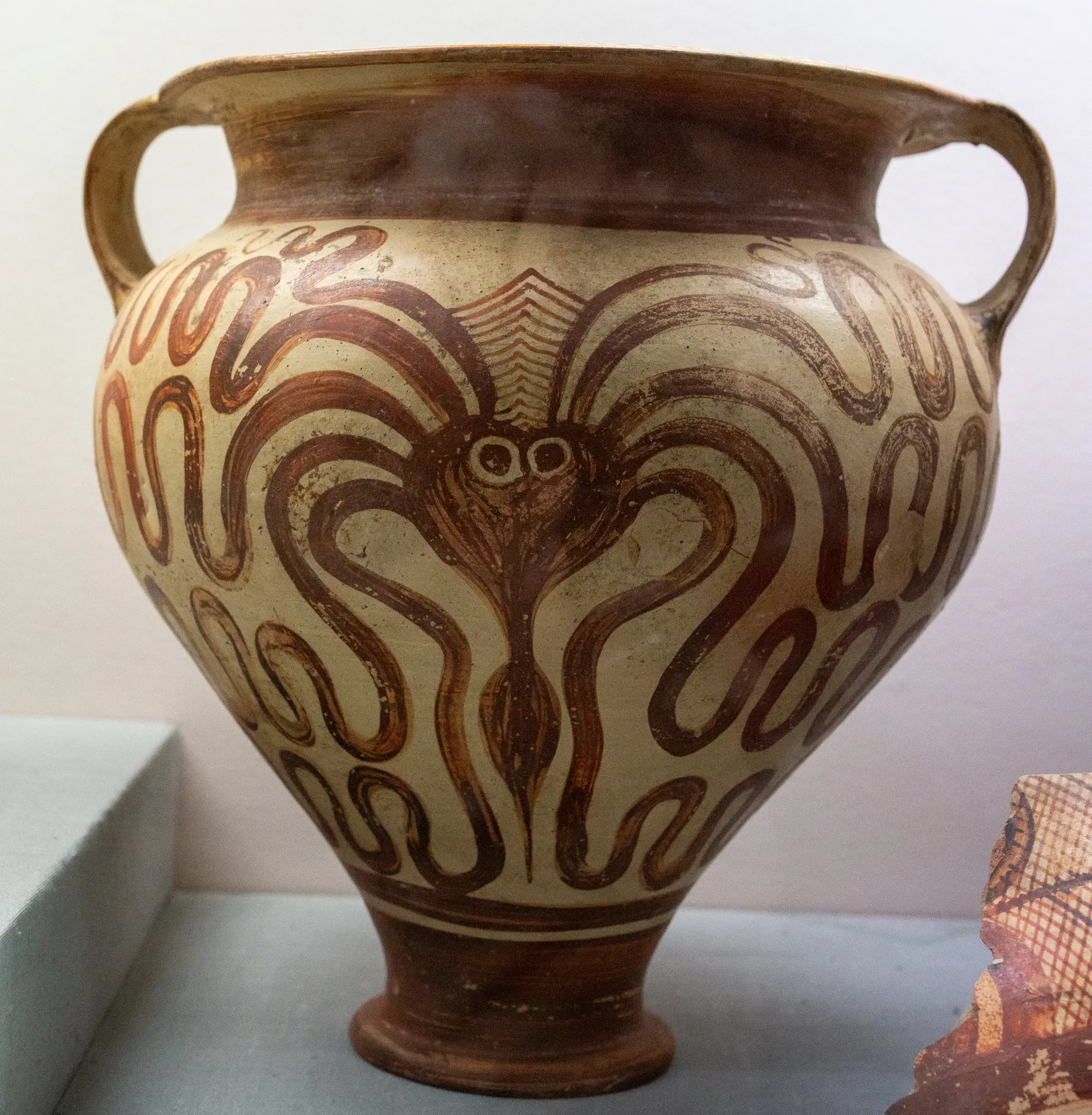
The Minoans
The palatial Bronze Age civilization of Crete, which took Cypriot copper and passed writing to Cyprus in the early Late Bronze Age.
In the compendium
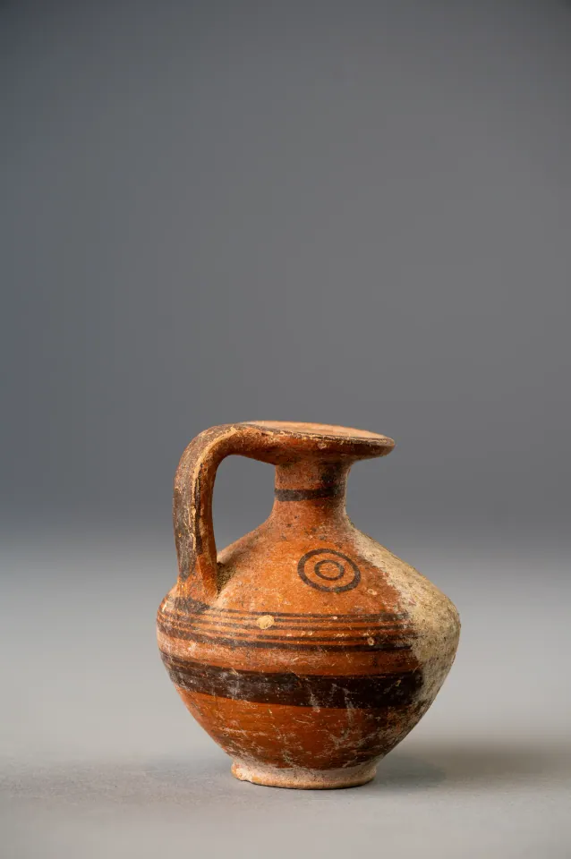
The Phoenicians
The Iron Age city-states of the Levantine coast, whose traders and settlers made Kition a Phoenician kingdom and shared a hybrid culture with Cyprus.

In the compendium
Ugarit and the Levant
The Syrian port kingdom of Ugarit and the wider Levantine coast, Cyprus's closest Bronze Age trading partners across the water.