
Drawing·CS-J1B-12-0001·1929–30
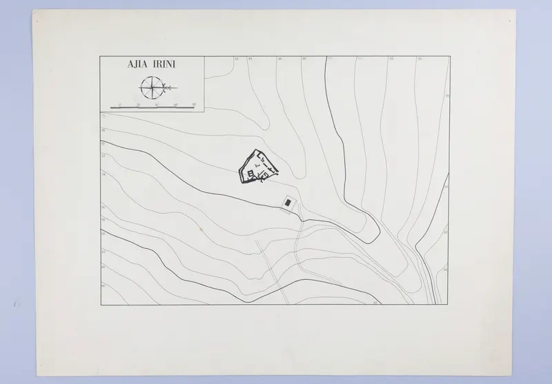
Field drawing: situation plan, Ayia Irini (SCE II, pl. XXII)
Description
A black-ink site plan on a pale sheet, with the title in the upper left corner, a compass rose and a scale bar beside it. Closely spaced contour lines run across the sheet with height figures along the edges. The irregular walled outline of the site sits in the centre, with a small rectangle with a dark fill to its south-east beside a track.
English, translated from the Swedish record
Plan of Ayia Irini. Published in Vol2, plate XXII, p. 642 ("Situationsplan" (SCE II, pl. XXII)).
Swedish, as on the record
Svenska Cypernexpeditionen. Planritning Ajia Irini. Publicerad i Vol2, plansch XXII, s 642 ("Situationsplan (SCE II, pl. XXII)) I volym 12 finns flera ritningar. De beskrivs så här i Visual Arhcive: STYLLI Plan över området (SCE II, pl. II) Grav 1 - 17, planer, sektioner och fyndplaner enligt SCE II MARION, se fol. 5 samt 14-17. IDALION, se vol. 18-21 AJIA IRINI Situationsplan (SCE II, pl. XXII) "Architectural plan" samt sektioner I-XV saknas. Sektioner XVI-XVIII (SCE II, pl. XXVII) "Architectural analysis" (SCE II, fig. 263) Detaljplaner (SCE II, pl. XXIX, 1-3 och XXX, 1-3) Ritningslägg, mindre format
More from Ayia Irini-Palaeokastro
901 items in the archive
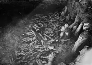 C01792Square L 11 at Ayia Irini, in situ finds
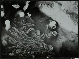 C01794Square L 11 at Ayia Irini, in situ finds
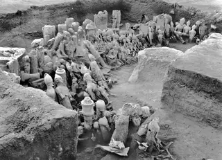 C01801Overview of figurines and sculptures in front of the altar at Ayia Irini
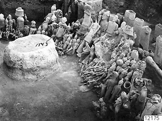 C01802Ayia Irini: general view with the altar
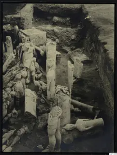 C01804Overall view of Ayia Irini
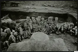 C01806Overall view of Ayia Irini
Photographs: Swedish Cyprus Expedition, Medelhavsmuseet, Stockholm (CC0)