
Drawing·CS-J1B-12-0002·1929–30
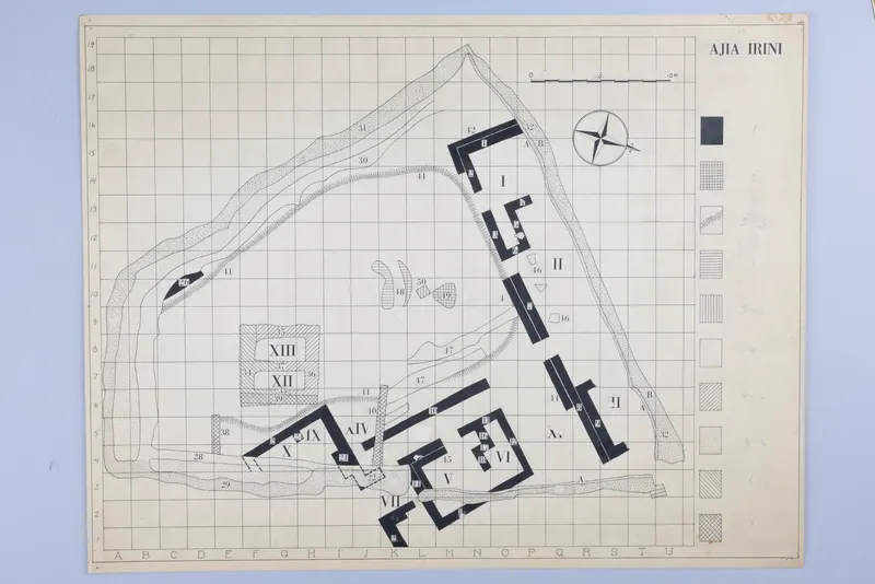
Plan drawing of Ayia Irini, published in SCE II
Description
A drawn site plan on a squared grid, with letters along the bottom and numbers down the left side. Solid black walls form several building blocks marked with Roman numerals, with numbered features and dashed outlines, and a column of hatch-pattern swatches runs down the right edge. A scale bar and a compass rose sit in the upper right area of the sheet.
English, translated from the Swedish record
Plan drawing of Ayia Irini. Published in Vol2, p. 665 ("Architectural analysis" SCE II, fig. 263)).
Swedish, as on the record
Svenska Cypernexpeditionen. Planritning Ajia Irini. Publicerad i Vol2, s. 665 ("Architectural analysis" SCE II, fig. 263)) I volym 12 finns flera ritningar. De beskrivs så här i Visual Arhcive: STYLLI Plan över området (SCE II, pl. II) Grav 1 - 17, planer, sektioner och fyndplaner enligt SCE II MARION, se fol. 5 samt 14-17. IDALION, se vol. 18-21 AJIA IRINI Situationsplan (SCE II, pl. XXII) "Architectural plan" samt sektioner I-XV saknas. Sektioner XVI-XVIII (SCE II, pl. XXVII) "Architectural analysis" (SCE II, fig. 263) Detaljplaner (SCE II, pl. XXIX, 1-3 och XXX, 1-3) Ritningslägg, mindre format
More from Ayia Irini-Palaeokastro
901 items in the archive
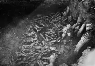 C01792Square L 11 at Ayia Irini, in situ finds
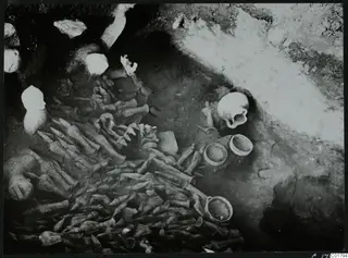 C01794Square L 11 at Ayia Irini, in situ finds
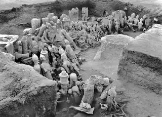 C01801Overview of figurines and sculptures in front of the altar at Ayia Irini
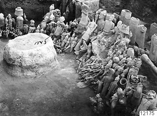 C01802Ayia Irini: general view with the altar
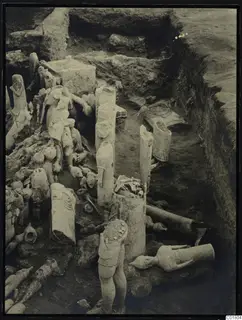 C01804Overall view of Ayia Irini
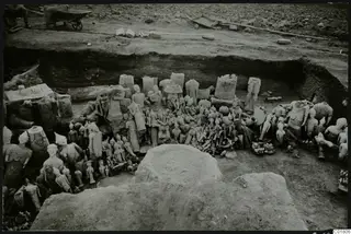 C01806Overall view of Ayia Irini
Photographs: Swedish Cyprus Expedition, Medelhavsmuseet, Stockholm (CC0)