
Document·15916D·1928
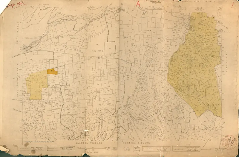
Excavation permit for the Swedish Cyprus Expedition covering areas at Pera, Khorio and Dali
Description
Printed land survey map of several villages, with parcels outlined and numbered in fine black lines and village names in capitals. Two groups of parcels are shaded in yellow and ochre: a smaller group to the west near Pera Khorio and a larger one to the east near Dali. Handwritten red marks appear at the top, and the paper is creased, stained and torn at the edges.
English, translated from the Swedish record
Excavation permit for the Swedish Cyprus Expedition covering areas at Pera, Khorio and Dali.
Swedish, as on the record
Grävningstillstånd för Svenska Cypernexpeditionen gällande områden vid Pera, Khorio och Dali.
More from Idalion
744 items in the archiveThe site →
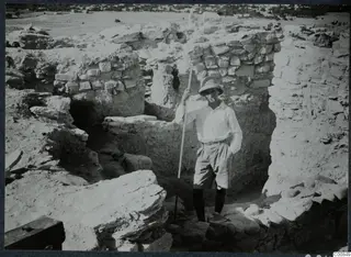 C00849Erik Sjöqvist at the west wall, Idalion
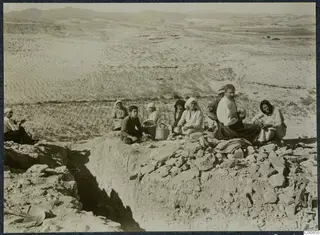 C00850Workers eating breakfast at Idalion
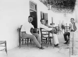 C00851Erik Sjöqvist, Lazaros and Giorkos at Idalion
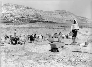 C00852Shepherd with sheep at Idalion
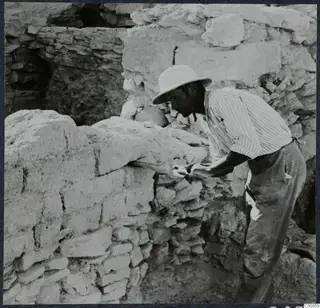 C00859Sawing in the brick wall L8 at Idalion
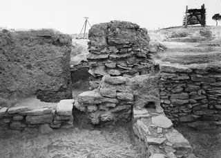 C00860Wall complex at J, K 8 from the north, Idalion
Photographs: Swedish Cyprus Expedition, Medelhavsmuseet, Stockholm (CC0)