
Ruins · Sheet 12
Fábrika (R.)
- Modern name
- Fabrica Hill (Wikidata)
- Spellings in our records
- Fabrika Hill, Fabrika hill, Fabrica Hill
- Site
- Nea Paphos-Fabrika
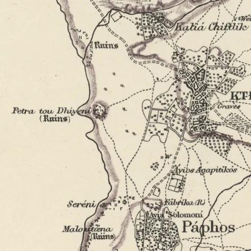
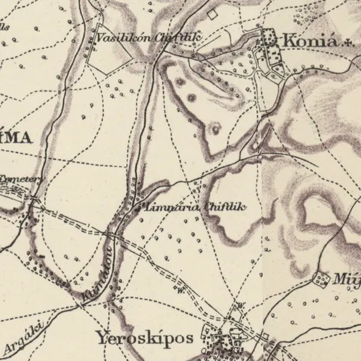

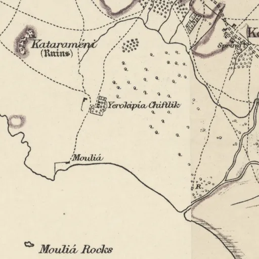
Nearby on the sheet
Antiquities within 2 km
- Maloutæna (Ruins) · ruins1.1 km SW
- Petra tou Dhiyení (Ruins) · ruins1.6 km NW
Distances are straight lines between the positions of the names on the sheet.
Our records that name the place
Records are matched to this place by name and position; a record may mean another place of the same name.
Sites1 site
No page of its own yet
Excavations2 excavations
Tombs, by excavation1 tomb
Documents10 documents
- Annual Report of the Department of Antiquities for the year 2008
- Annual Report of the Department of Antiquities for the year 2009
- Cypriot and Levantine cooking wares in Frankish Cyprus
- Funerary architecture and other underground structures in Hellenistic Cyprus and Rhodes
- Les aménagements cultuels sur et sous la colline de Fabrika. Soubassement de temple et autres sanctuaires rupestres ptolémaïques et romains de Nea Paphos
- L'iconographie des mosaïques hellénistiques de Chypre
- More Than a Church: Late Antique Ecclesiastical Complexes in Cyprus
- Nea Paphos as a center of pottery production
- New research in the sacred zone of the Fabrika hill in Nea Paphos, Cyprus
- Nouvelles recherches archéologiques à Paphos. Premiers résultats de la mission française sur la colline de Fabrika (2008-2009)
Sources
- Map
- H. H. Kitchener, Trigonometrical Survey of Cyprus, 1 inch to 1 mile, 1882 (scans: National Library of Scotland, CC BY)
- 1881 census
- 1881 census places: Harokopio University, Mendeley Data 10.17632/dvvm9cns2x.2 (CC BY 4.0)
- Lands and Surveys
- Department of Lands and Surveys, Geographical Names and Localities (INSPIRE), data.gov.cy (CC BY 4.0)
- Greek names
- Greek names: Wikidata (CC0); romanised by ELOT 743
- GeoNames
- Greek names where Wikidata has none, and other modern names: GeoNames, geonames.org (CC BY 4.0)
- Toponyms
- Department of Lands and Surveys, Toponyms (cadastral map layer 19), data.gov.cy dataset 157 (CC BY 4.0)
All the names on the sheets: Place names on Kitchener's map