
Christian village · Sheet 1
Kóma tou Yialou (Komialik)
- 1881 census
- Komatou Yialou
- Greek
- Κώμα του Γιαλού · Kóma tou Gialoú (ELOT 743) (Wikidata)
- Spellings in our records
- Koma tou Yialou, Koma tou Gialou, Koma-tou-Yialou
- In the literature
- Koma tou Yialou, Koma tou Yalou
- Site
- Koma tou Yialou-Kortylas
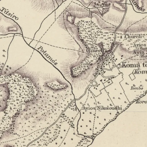
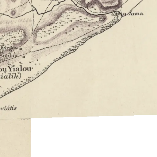
Nearby on the sheet
Antiquities within 2 km
- Ayios Kýrgos (Ruin) · ruins1.5 km E
- Ayía Sophía (Ruin) · ruins1.5 km E
Distances are straight lines between the positions of the names on the sheet.
In the literature
The place's names as printed in works published up to 1974, with the pages they appear on.
Koma tou Yialouprinted 9 times
- R. Gunnis (1936). Historic Cyprus: A Guide to its Towns and Villages, Monasteries and Castles. London, Methuen, pp. 280, 483, 491, 492
- V. Karageorghis (1967). Chronique des fouilles et découvertes archéologiques à Chypre en 1966. In Bulletin de correspondance hellénique 91, pp. 292, 293
and 2 more works
Koma tou Yalouprinted 2 times
- Athanasius Papageorgiou (1970). Icons of Cyprus, pp. 24, 130
Our records that name the place
Records are matched to this place by name and position; a record may mean another place of the same name.
Sites1 site
No page of its own yet
Excavations1 excavation
Documents2 documents
People3 people
Sources
- Map
- H. H. Kitchener, Trigonometrical Survey of Cyprus, 1 inch to 1 mile, 1882 (scans: National Library of Scotland, CC BY)
- 1881 census
- 1881 census places: Harokopio University, Mendeley Data 10.17632/dvvm9cns2x.2 (CC BY 4.0)
- Lands and Surveys
- Department of Lands and Surveys, Geographical Names and Localities (INSPIRE), data.gov.cy (CC BY 4.0)
- Greek names
- Greek names: Wikidata (CC0); romanised by ELOT 743
- GeoNames
- Greek names where Wikidata has none, and other modern names: GeoNames, geonames.org (CC BY 4.0)
- Toponyms
- Department of Lands and Surveys, Toponyms (cadastral map layer 19), data.gov.cy dataset 157 (CC BY 4.0)
All the names on the sheets: Place names on Kitchener's map