
Field photograph·Csn0582·1927–1931
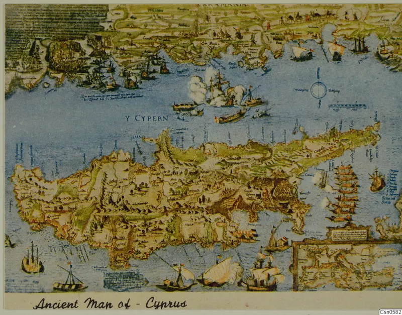
Ancient map of Cyprus
Description
A colour reproduction of a map of Cyprus, with the island lying across the centre and detailed coastline and land features along the top edge. Sailing ships, a sea battle with clouds of smoke and a compass rose fill the blue sea, and a smaller inset map sits at the lower right. A handwritten caption runs along the bottom edge of the frame.
English, translated from the Swedish record
Ancient map of Cyprus, held at the Cyprus Museum.
Swedish, as on the record
Föremålsbild, fynd från Cypern, Cyprus Museum.