
Field photograph·Csn0581·1927–1931
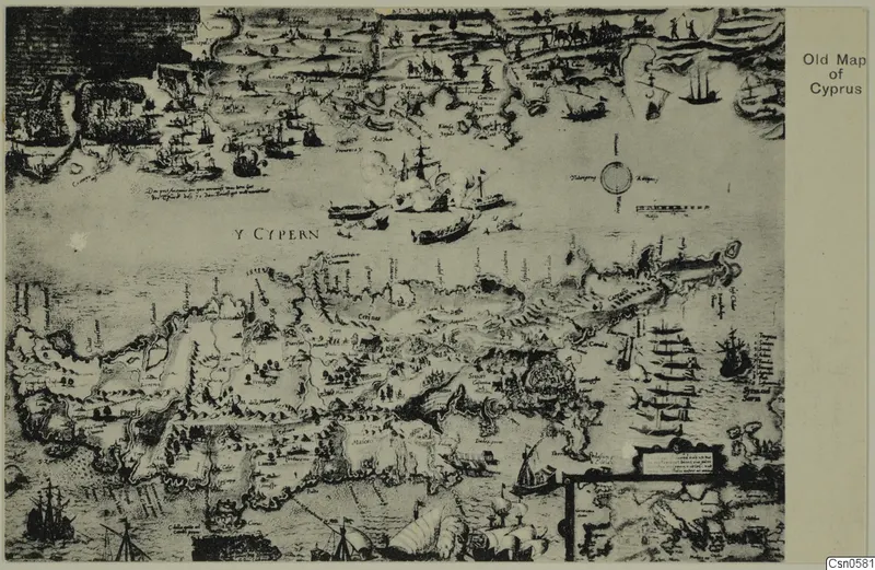
Old map of Cyprus
Description
Reproduction of an old map of Cyprus, with the island drawn across the lower half and its coastline marked with many small towns and hills. Sailing ships, smaller boats and a large ship with billowing sails fill the surrounding sea. A compass rose and a framed cartouche with text sit in the upper right of the sea area, and a narrow white margin with a printed title runs down the right edge.
English, translated from the Swedish record
Object photograph of an old map of Cyprus, Cyprus Museum.
Swedish, as on the record
Föremålsbild, gammal karta, Cypern, Cyprus Museum.