
Field photograph·C02764·1930
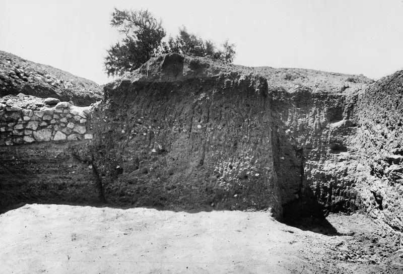
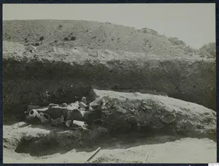
Soil profile at Mersinaki
Description
A large vertical face of excavated soil fills the centre of the picture, with faint horizontal and vertical layers and scattered small stones. To the left, a low wall of rough stones runs into the section, and a bush grows on the top edge of the cut. The foreground is a flat, pale excavated surface with loose soil.
Other scans of this record (2)
- Description, scan 2
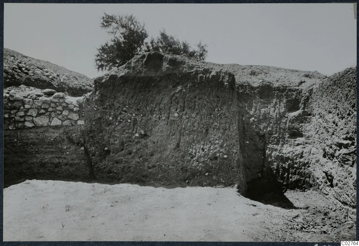
- A tall vertical face of excavated soil fills the centre of the trench, with layers and scattered small stones visible in its surface. On the left, a wall of rough stones stands beside it, and a small bush grows on top of the soil face. The trench floor in the foreground is flat and pale, and loose earth heaps rise at the edges.
- Description, scan 3
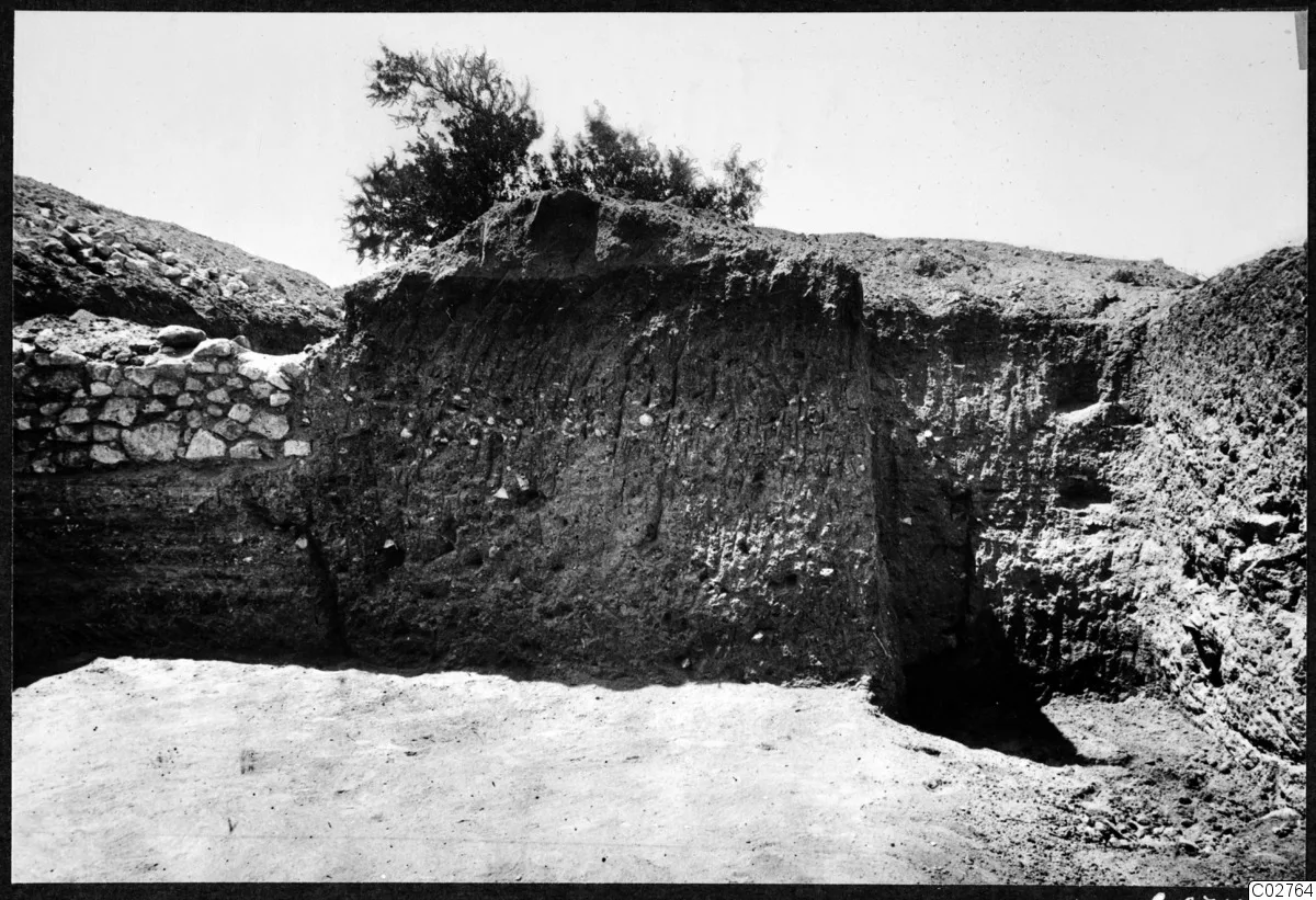
- A tall vertical face of excavated soil rises from a flat, pale floor of trench bottom, showing layers and vertical streaks in the earth. On the left, a wall of irregular stones with mortar-like gaps is set into the bank, and a shrub grows on the upper edge of the cut against a bare sky. The trench sides slope away to the right, with loose stones and earth in the foreground.
English, translated from the Swedish record
Soil profile at Mersinaki.
Swedish, as on the record
Jordprofil. Mersinaki. Svenska Cypernexpeditionen
More from Mersinaki
382 items in the archive
 C02762Work in progress with men and women at Mersinaki
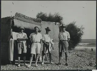 C02763The Expedition 1930: Lindros, Westholm, Sjöqvist and Gjerstad
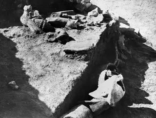 C02767Accumulation of statues in K 17-18 at Mersinaki
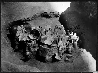 C02769Statues in pit H 14-15 at Mersinaki
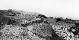 C02770View towards Vouni from the excavation, Mersinaki
 C02771Squares K 17-21 at Mersinaki, with K 17-18 excavated
Photographs: Swedish Cyprus Expedition, Medelhavsmuseet, Stockholm (CC0)