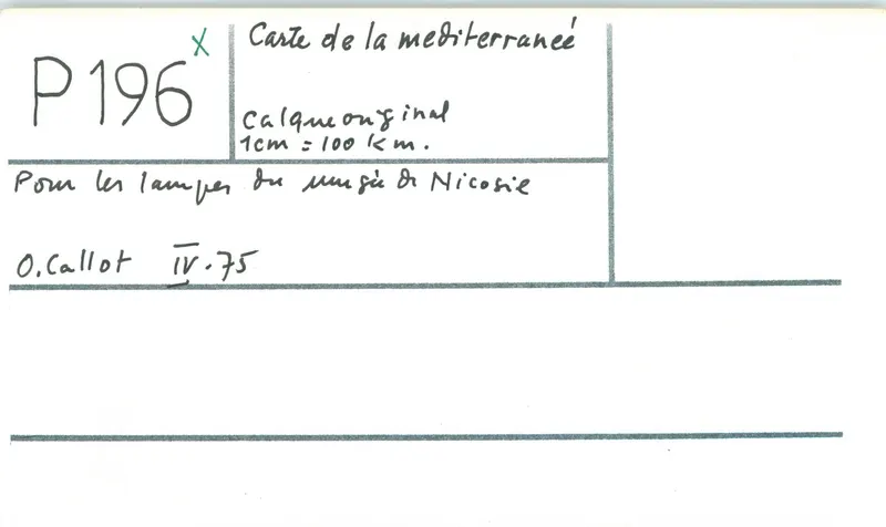
Map of the Mediterranean for the lamps of the Nicosia museum
Drawing: O. Callot, 1975. Mission archéologique française de Kition-Salamine (MOM, Lyon), Nakala, SAL_OBPL_141095_0196. "Map of the Mediterranean for the lamps of the Nicosia museum". CC BY 4.0. Resized.
Plan SAL_OBPL_141095_0196
English, translated from the French record
Map of the Mediterranean for the lamps of the Nicosia museum, scale 1/10000000, drawn by O. Callot. Inventory SAL_OBPL_141095_0196; 1 April 1975 to 30 April 1975.
French, as on the record
Carte de la Mediterranée pour les lampes du musée de Nicosie
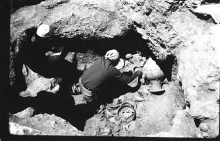
A study drawing made in France after the excavation, from the mission's records of 1964–1974. The French mission's last season at Salamis ended on 6 July 1974; the site has been in the area occupied by Turkey since the invasion of 20 July 1974.
Corrections and additions
Can you tell us more about this?
If you can identify, date or place this item, or know where else it is recorded, we would like to hear.