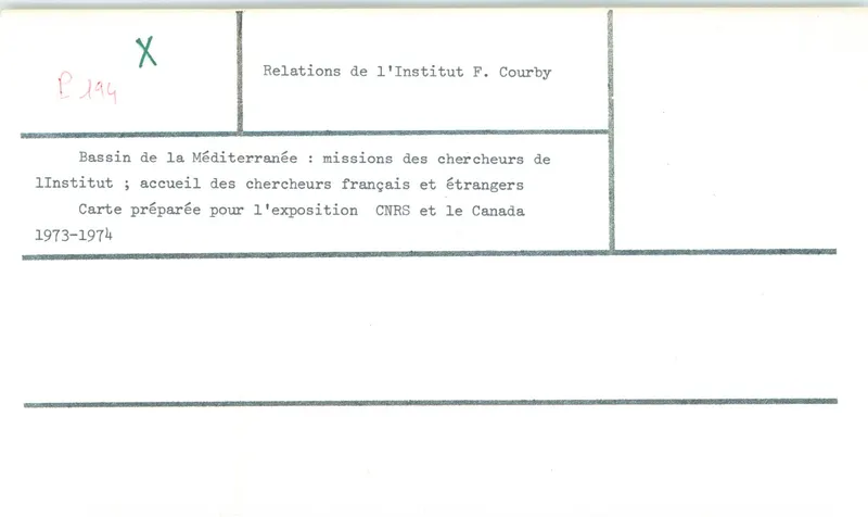
Map of the Bassin de la Méditerranée research centre, prepared for the CNRS and Canada exhibition
Drawing: 1974. Mission archéologique française de Kition-Salamine (MOM, Lyon), Nakala, SAL_OBPL_141095_0194. "Map of the Bassin de la Méditerranée research centre, prepared for the CNRS and Canada exhibition". CC BY 4.0. Resized.
Plan SAL_OBPL_141095_0194
English, translated from the French record
Plan or drawing SAL_OBPL_141095_0194, showing the Bassin de la Méditerranée, the institute's research missions and the reception of French and foreign researchers. Prepared for the CNRS and Canada exhibition. 1974.
French, as on the record
Bassin de la Méditerranée, missions des chercheurs de l'institut, acceuil des chercheurs français et étrangers. Carte préparée pour l'exposition CNRS et le Canada
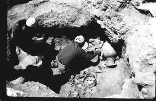
From the French mission's last season at Salamis, which ended on 6 July 1974, two weeks before the Turkish invasion of 20 July 1974.
Corrections and additions
Can you tell us more about this?
If you can identify, date or place this item, or know where else it is recorded, we would like to hear.